
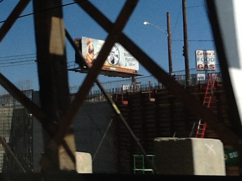


Benton Park, California
Benton Park is a community of 5,707 people in Kern County, California.
Why visit Benton Park
Townapedia lists 7 museums and landmarks, 10 parks and trails, 36 places to eat, 10 places to stay and 3 attractions in and around town.
Highlights include Fox Theater, Bakersfield Community Theatre, Baker Branch Library and Bakersfield California Building.
July is the warmest month, with average highs of 97°F; December lows average 38°F.
Weather in Benton Park
Forecast from the National Weather Service. Full forecast
Things to do3

Fox Theater
Cinema and theater · 2.2 mi
Theater and movie theater in Bakersfield, California, United States

Museums and landmarks7

Baker Branch Library
Monument and historic site · National Register of Historic Places · 3.4 mi
Public library in Bakersfield, California, USA

Bakersfield California Building
Monument and historic site · National Register of Historic Places · 2.1 mi
Factory in California, United States of America

Jastro Building
Monument and historic site · National Register of Historic Places · 2.1 mi
Building in California, United States

Tevis Block
Monument and historic site · National Register of Historic Places · 2.2 mi
Office building in Bakersfield, California

Bakersfield Museum of Art
Museum · 2.4 mi
Museum in Bakersfield, California

Buck Owens Crystal Palace
Museum · 2.8 mi
Music venue, museum and night club in Bakersfield, California


Kern County Museum
Museum · 3.3 mi
History museum in Bakersfield, California
Parks, trails and playgrounds10

Beale Park
Park · 1.1 mi
Park in California, United States of America, United States of America
500 OLEANDER AVE
Beach Park
Park · 2.3 mi
Park in Bakersfield, California, United States
Jastro Park
Park · 2.0 mi
Park in California, United States of America, United States of America
Kern River Parkway
Park · 2.7 mi
Park in California, United States of America
Mill Creek
Park · 2.4 mi
Linear park in Bakersfield, California, United States of America
Restaurants and cafes36

Barrington's Jamaican Kitchen
Restaurant · Jamaican · 1.2 mi
4120 Ming Avenue, Bakersfield
Tu-Su 11:00-20:00

24 more on the map.
Where to stay10
Econo Lodge near Bakersfield Fairgrounds
Motel and hotel · 0.5 mi
1030 Wible Road, Bakersfield
Motel 6 Bakersfield, CA - Central
Motel and hotel · 1.1 mi
350 Oak Street, Bakersfield
Spark by Hilton Bakersfield Central
Motel and hotel · 1.6 mi
1017 Oak Street, Bakersfield
Churches and places of worship34
First Baptist Church
Church · National Register of Historic Places · 2.1 mi
First Congregational Church
Church · Congregational · 1.0 mi
5 Real Road, Bakersfield
Islamic Center of San Joaquin Valley
Place of worship · 1.2 mi
701 Ming Avenue, Bakersfield
Shopping13
Gas and EV charging4
Schools, colleges and libraries56
Colonel Howard Nichols Elementary
School · 5.7 mi
3401 Renegade Ave., Bakersfield
Healthcare2
Passport Health Bakersfield Travel Clinic
Clinic and pharmacy · 1.5 mi
4949 Buckley Way, Bakersfield
Map of Benton Park
175 places. The map loads OpenStreetMap tiles when you open it.
Climate by month
Monthly table
| Month | High | Low | Rain |
|---|---|---|---|
| Jan | 58°F | 39°F | 1.3 in |
| Feb | 64°F | 41°F | 1.3 in |
| Mar | 69°F | 45°F | 1.2 in |
| Apr | 74°F | 49°F | 0.6 in |
| May | 83°F | 57°F | 0.3 in |
| Jun | 91°F | 64°F | 0.0 in |
| Jul | 97°F | 70°F | 0.0 in |
| Aug | 96°F | 69°F | 0.0 in |
| Sep | 91°F | 64°F | 0.1 in |
| Oct | 80°F | 54°F | 0.2 in |
| Nov | 67°F | 44°F | 0.5 in |
| Dec | 59°F | 38°F | 1.0 in |
U.S. Climate Normals 1991-2020 for Bakersfield 5 Nw (5 mi away), NOAA NCEI.
People and cost of living
American Community Survey 5-year estimates, 2020-2024, U.S. Census Bureau. Estimates have margins of error, larger for small towns.
Disaster history
Kern County has had 28 federal disaster declarations since 2000, most often for fires.
- 2024-07-27: Borel Fire (Fire)
- 2023-11-21: Tropical Storm Hilary (Hurricane)
- 2023-04-03: Severe Winter Storms, Straight-Line Winds, Flooding, Landslides, And Mudslides (Severe Storm)
- 2023-03-10: Severe Winter Storms, Flooding, Landslides, And Mudslides (Flood)
- 2021-08-25: French Fire (Fire)
- 2020-03-22: Covid-19 Pandemic (Biological)
OpenFEMA disaster declarations summaries.
Getting there and nearby towns
Meadows Field Airport (BFL) is the nearest airport with scheduled flights listed in OpenStreetMap, 6 miles away.
- Bakersfield 1 mi northwest, about 1 min by car
- Old Stine 1 mi west, about 2 min by car
- Casa Loma 2 mi east, about 3 min by car
- Cottonwood 2 mi east, about 4 min by car
- Rexland Acres 3 mi southeast, about 5 min by car
- Potomac Park 4 mi east, about 6 min by car
- East Bakersfield 4 mi northeast, about 6 min by car
- Hillcrest 5 mi northeast, about 7 min by car
- Greenfield 5 mi south, about 9 min by car
- Oildale 6 mi north, about 9 min by car
Drive times are estimates from straight-line distance, not routes.
Local news
Headlines from INDB, the NEMICO news database.
Reviews, tips and questions
Loading what members have shared...
Sources and licences
- NCES EDGE (Public domain): public schools
- NOAA NCEI U.S. Climate Normals 1991-2020 (Public domain): climate by month
- OpenFEMA (Public domain): disaster declarations
- OpenStreetMap contributors (ODbL 1.0): places, airports, map data
- U.S. Census Bureau (Public domain): population, income, housing, education, commute
- Wikidata (CC0 1.0): landmarks and historic places
- Wikimedia Commons (see each image): photos
Photo credits
- Larson's Food and Gas, Benton Park, Bakersfield, Augusthorsesdroppings10, CC BY-SA 4.0
- 2009-0726-CA-Bakersfield-BakerLib, Bobak Ha'Eri, CC BY 3.0
- 2009-0726-CA-Bakersfield-JastroBuilding, Bobak Ha'Eri, CC BY 3.0
- 2009-0726-CA-Bakersfield-1stBaptist, Bobak Ha'Eri, CC BY 3.0
- 2009-0726-CA-Bakersfield-Californian, Bobak Ha'Eri, CC BY 3.0
- 2009-0726-CA-Bakersfield-TevisBlock, Bobak Ha'Eri, CC BY 3.0
- Buck Owens Crystal Palace Front, Skyman9999, CC0
- 2009-0726-CA-Bakersfield-FoxTheater, Bobak Ha'Eri, CC BY 3.0
- Kern County Museum-10, (WT-de) Mistoffeles, CC BY-SA 4.0
- Valley Plaza Mall, LittleT889, CC BY-SA 4.0
- Race and ethnicity 2010- Bakersfield (5559863569), Eric Fischer, CC BY-SA 2.0
- GET bus 1040 at Valley Plaza Mall, Evan0512, CC BY-SA 4.0
- Interior of Golden Empire Transit 1040, Evan0512, CC BY-SA 4.0
- Boy Scout Troop 188 - Kern County Fairgrounds - "The Hat" (37090004113), Bruce Andersen, CC BY 2.0
- 1942 Studebaker President (3487496773), Craig Howell from San Carlos, CA, USA, CC BY 2.0
- Kern County Fair 009 (3988359129), Robert Bejil from Bakersfield, Ca, USA, CC BY 2.0
- Kern County Fair 071 (3988362967), Robert Bejil from Bakersfield, Ca, USA, CC BY 2.0
- CA 58 exit 110 and CA 99 exit 23 (July 2025), Evan0512, CC BY-SA 4.0
- TERRACE (8119207538), william lewis, CC BY 2.0
- Greetings from Bakersfield, California - Large Letter Postcard (8093324457), Steve Shook from Moscow, Idaho, USA, CC BY 2.0
- Ford 5-AT-C N414H (5123792454), Bill Larkins, CC BY-SA 2.0


Page built October 30, 2026. Spotted a mistake? Tell us or suggest a place.