


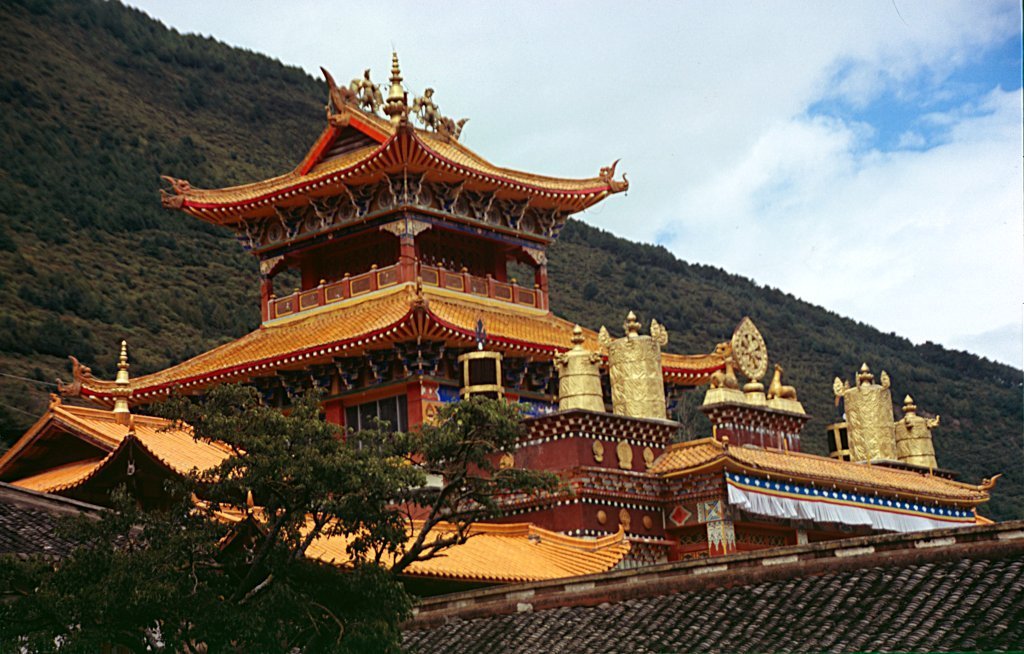

Why visit Kangding
Townapedia lists 3 museums and landmarks, 4 parks and trails, 8 places to eat, 11 places to stay and 11 attractions in and around town.
Weather in Kangding
Forecast from MET Norway (CC BY 4.0). Full forecast
About Kangding
Kangding (Chinese: 康定), also known as Dartsedo (Tibetan: དར་རྩེ་མདོ།), is a county-level city and the seat of Garzê Tibetan Autonomous Prefecture in Sichuan province of Southwest China. Kangding is on the bank of the Zheduo River and has been considered the historical border between the Kham region of Tibet and the Sichuan region. Kangding's urban center is called Lucheng, which has around 134,000 inhabitants.
From the Wikipedia article Kangding (this version), under CC BY-SA 4.0.
Travel tips from other travellers: Kangding on Wikivoyage (CC BY-SA 4.0).
Things to do11

Museums and landmarks3


Parks, trails and playgrounds4


Restaurants and cafes8



History
Kangding was on the historical border between Tibet and China. From Kangding to the west lies Tibetan civilization, whereas to the east are Han cultural areas. It was the capital of the Kingdom of Chakla. During its history, Kangding has witnessed many conflicts between Tibetan and Han polities. Kangding was for many centuries an important trading city where Han brick tea was carried by porters from Chengdu and other centres to trade for Tibetan wool. A dispute involving the sovereignty over the city between Tibet and the Qing was resolved when the Manchu forces took the city by storm in the Battle of Dartsedo in 1701.
On July 1, 1786 an earthquake of 7.75 on the Moment magnitude scale ruined nearly the entire city.
From the History section of Kangding on Wikipedia, under CC BY-SA 4.0.
Where to stay11
Churches and places of worship5
Shopping1
Schools, colleges and libraries6
Healthcare4
Map of Kangding
53 places. The map loads OpenStreetMap tiles when you open it.
Getting there and nearby towns
Kangding Airport (KGT) is the nearest airport with scheduled flights listed in OpenStreetMap, 26 km away.
Local news
Headlines from INDB.
Reviews, tips and questions
Loading what members have shared...
Sources and licences
- GeoNames (CC BY 4.0): population, coordinates, regions and time zone
- OpenStreetMap contributors (ODbL 1.0): places, airports, map data
- Wikidata (CC0 1.0): elevation, founding date, time zone, website
- Wikimedia Commons (see each image): photos
- Wikipedia (CC BY-SA 4.0): overview and history text
Photo credits
- Kangding from above, NoGhost, CC BY-SA 4.0
- Kangding-monasterio-nanwu-c01-f, Unknown author, CC BY-SA 2.1 es
Page built November 3, 2026. Spotted a mistake? Tell us or suggest a place.