

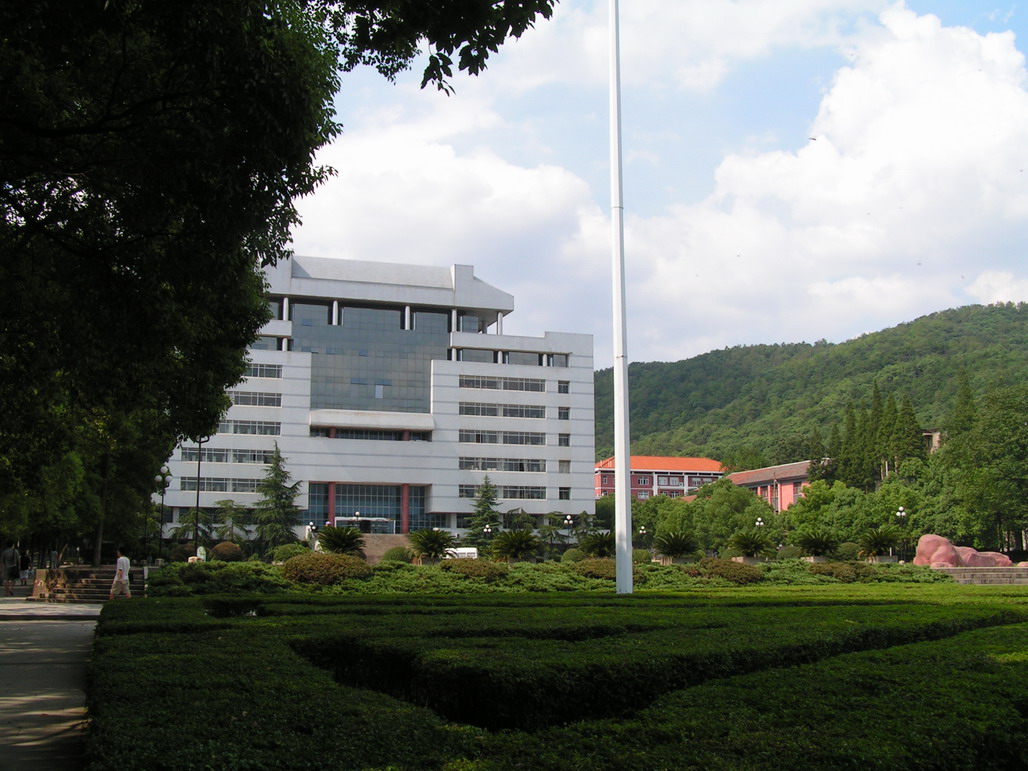


Leifeng, China
雷锋街道
Leifeng is a town of 28,014 people in Hunan, China, founded in 1958.
Why visit Leifeng
Townapedia lists 4 museums and landmarks, 29 parks and trails, 79 places to eat, 15 places to stay and 17 attractions in and around town.
Highlights include Central South University, Hunan University of Technology and Business and Meixi Lake Park.
Weather in Leifeng
Forecast from MET Norway (CC BY 4.0). Full forecast
About Leifeng
Leifeng (simplified Chinese: 雷锋街道; traditional Chinese: 雷鋒街道; pinyin: Léifēng Jiēdào) is a subdistrict of Wangcheng District in Changsha City, Hunan Province, China. Leifeng's area is 82.4 km2 (31.8 square miles) and its population is about 43,000 (as of 2016). It is named after Chinese hero Lei Feng, who was supposedly born there.
From the Wikipedia article Leifeng Subdistrict (this version), under CC BY-SA 4.0.
Things to do17
Central South University
School · 8.3 km
National university of China

Hunan University of Technology and Business
School · 7.7 km
University in China

Lucky Knot Bridge
Bridge · 3.4 km
Bridge in Meixi Lake District, Changsha


5 more on the map.
Museums and landmarks4

Parks, trails and playgrounds29


Meixi Lake Park
Park · 5.7 km
Park in Yuelu District, People's Republic of China


17 more on the map.
Restaurants and cafes79


67 more on the map.
History
Leifeng was a portion of Wangyue (望岳乡) and Bairuopu (白箬铺镇) townships in 1949, Anqing township (安庆乡) was formed in 1950. Huanghuatang commune was formed in 1968, it was renamed as Huanghuatang township in 1984. On March 16, 1993, Huanghuatang township was renamed Leifeng town.
From the History section of Leifeng Subdistrict on Wikipedia, under CC BY-SA 4.0.
Where to stay15
Churches and places of worship4
Shopping60
Gas and EV charging2
Schools, colleges and libraries63
Healthcare23
Map of Leifeng
250 places. The map loads OpenStreetMap tiles when you open it.
Getting there and nearby towns
Changsha Huanghua International Airport (CSX) is the nearest airport with scheduled flights listed in OpenStreetMap, 37 km away.
- Changsha 12 km east, about 12 min by car
- Yutan 29 km west, about 29 min by car
- Xiangtan 39 km south, about 39 min by car
- Shaoshan 45 km southwest, about 45 min by car
- Zhuzhou 51 km southeast, about 51 min by car
- Wenxing 54 km north, about 54 min by car
- Xiangxiang 60 km southwest, about 1 h by car
- Heshan 64 km northwest, about 1 h by car
- Guankou 77 km east, about 1 h 15 min by car
- Xishan 87 km southeast, about 1 h 30 min by car
Drive times are estimates from straight-line distance, not routes.
Local news
Headlines from INDB.
Reviews, tips and questions
Loading what members have shared...
Sources and licences
- GeoNames (CC BY 4.0): population, coordinates, regions and time zone
- OpenStreetMap contributors (ODbL 1.0): places, airports, map data
- Wikidata (CC0 1.0): elevation, founding date, time zone, website, landmarks and historic places
- Wikimedia Commons (see each image): photos
- Wikipedia (CC BY-SA 4.0): overview and history text
Photo credits
- Entrance of Lei Feng Memorial and Party History Museum of the CPC Hunan Provincial Committee, picture2, Huangdan2060, CC0
- Zhongnandaxue, Unknown author, CC BY-SA 3.0
- Hunan University of Commerce9, Huangdan2060, CC0
- Buildings near the Meixi Lake in Changsha, picture14, Huangdan2060, CC0
- Lucky Knot Bridge in Changsha, IDontHaveSkype, CC0
Page built November 3, 2026. Spotted a mistake? Tell us or suggest a place.