


Why visit Xingcheng
Townapedia lists 18 museums and landmarks, 21 parks and trails, 17 places to eat, 10 places to stay and 8 attractions in and around town.
Highlights include Baitayu Pagoda, Moshigou Pagoda, Xingcheng Haibin National Park and Huludao City Sports Centre Stadium.
Weather in Xingcheng
Forecast from MET Norway (CC BY 4.0). Full forecast
About Xingcheng
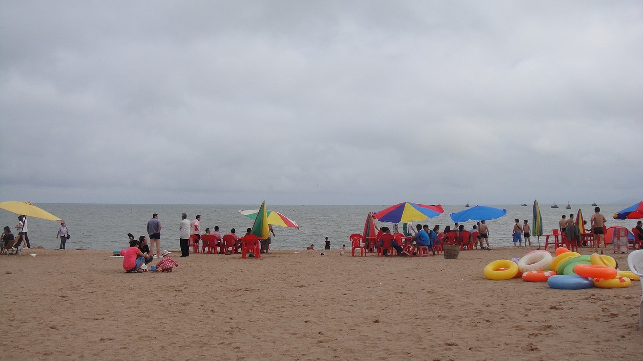
Xingcheng (simplified Chinese: 兴城; traditional Chinese: 興城; pinyin: Xīngchéng), former name Ningyuan (宁远), is a county-level city under the administration of Huludao, in southwest Liaoning province, China, with a population of approximately 220,000 urban inhabitants, and is located on the Liaodong Bay, i.e. the northern coast of the Bohai Sea. The area is steeped in history, and contains one of the best preserved Ming Dynasty towns in China, as well as functioning as a laidback summer resort.
From the Wikipedia article Xingcheng (this version), under CC BY-SA 4.0.
Travel tips from other travellers: Xingcheng on Wikivoyage (CC BY-SA 4.0).
Things to do8


Museums and landmarks18




6 more on the map.
Parks, trails and playgrounds21
Xingcheng Haibin National Park
Park · 11.3 km
National park in Liaoning, China

Huludao City Sports Centre Stadium
Sports field and stadium · 10.4 km


9 more on the map.
Restaurants and cafes17


5 more on the map.
Where to stay10
Churches and places of worship6
Shopping8
Gas and EV charging12
Schools, colleges and libraries29
Healthcare11
Map of Xingcheng
140 places. The map loads OpenStreetMap tiles when you open it.
Getting there and nearby towns
Jinzhou Airport (JNZ) is the nearest airport with scheduled flights listed in OpenStreetMap, 59 km away.
- Huludao 18 km northeast, about 18 min by car
- Lianshan 20 km northeast, about 20 min by car
- Nanpiao 54 km north, about 54 min by car
- Jinzhou 65 km northeast, about 1 h by car
- Linghai 82 km northeast, about 1 h 15 min by car
Drive times are estimates from straight-line distance, not routes.
Local news
Headlines from INDB.
Reviews, tips and questions
Loading what members have shared...
Sources and licences
- GeoNames (CC BY 4.0): population, coordinates, regions and time zone
- OpenStreetMap contributors (ODbL 1.0): places, airports, map data
- Wikidata (CC0 1.0): elevation, founding date, time zone, website, landmarks and historic places
- Wikimedia Commons (see each image): photos
- Wikipedia (CC BY-SA 4.0): overview and history text
Photo credits
- Xingcheng, Huludao, Liaoning, China - panoramio - Matthew Summerton (7), Matthew Summerton, CC BY-SA 3.0
- Xingcheng beach, Liaoning Province, China, Pixabay CC0 - No attribution required, CC0
- Xingcheng Defensive wall 2010.09, 猫猫的日记本, CC BY-SA 3.0
Page built November 3, 2026. Spotted a mistake? Tell us or suggest a place.