


Colma, California
Colma is a town of 1,636 people in San Mateo County, California, founded in August 5, 1924.
Why visit Colma
Townapedia lists 23 museums and landmarks, 27 parks and trails, 94 places to eat, 4 places to stay and 1 attraction in and around town.
Highlights include Italian Cemetery, Holy Cross Catholic Cemetery, Balboa Park and Cayuga Park.
October is the warmest month, with average highs of 66°F; January lows average 46°F.
Weather in Colma
Forecast from the National Weather Service. Full forecast
About Colma
Colma (Ohlone for 'springs') is a small incorporated town in San Mateo County, California, United States, on the San Francisco Peninsula in the San Francisco Bay Area. The population was 1,507 at the 2020 census. The town was founded as a necropolis in 1924.
From the Wikipedia article Colma, California (this version), under CC BY-SA 4.0.
Things to do1

Museums and landmarks23

Italian Cemetery
Cemetery · 0.5 mi
Serves all faiths and nationalities
540 F Street, Colma
08:00-16:00 open "grounds"

Golden Gate National Cemetery
Monument and historic site · National Register of Historic Places · 3.2 mi
Veterans cemetery in San Mateo County, California

South San Francisco Hillside Sign
Monument and historic site · National Register of Historic Places · 2.1 mi
Sign in San Mateo County, California
11 more on the map.
Parks, trails and playgrounds27

Cayuga Park
Park · 2.6 mi
Neighborhood park in San Francisco, California



Orange Memorial Park
Park · 2.2 mi
Park in South San Francisco, California
Sign Hill Park
Park · 2.0 mi
Park in San Mateo County, California, United States of America

15 more on the map.
Restaurants and cafes94

Starbucks
Cafe · Coffee Shop · 0.7 mi
990 Serramonte Boulevard, Colma
Mo-Sa 04:30-22:00; Su 04:30-21:00



Dave & Buster's
Diner · American · 1.1 mi
130, Daly City
Mo,Tu 11:00-24:00, We-Fr 11:00-01:00, Sa 10:00-02:00, Su 10:00-24:00
82 more on the map.
History
The community of Colma was formed in the 19th century as a collection of homes and small businesses along El Camino Real and the adjacent San Francisco and San Jose Railroad line. Several churches, including Holy Angels Catholic Church, were founded in these early years. The community founded its own fire district, which serves the unincorporated area of Colma north of the town limits, as well as the area that became a town in 1924.
Heinrich (Henry) von Kempf moved his wholesale nursery here in the early part of the 20th century, from the land where the Palace of Fine Arts currently sits. The business was growing, and thus required more space for von Kempf's plants and trees. Von Kempf then began petitioning to turn the Colma community into an agricultural township. He succeeded and became the town of Colma's first treasurer.
In the early 20th century, Colma was the site of many major boxing events. Middleweight world champion Stanley Ketchel fought six bouts at the Mission Street Arena in Colma, including two world middleweight title bouts against Billy Papke and a world heavyweight title bout against Jack Johnson.
From the History section of Colma, California on Wikipedia, under CC BY-SA 4.0.
Where to stay4
Churches and places of worship5
Shopping21
Gas and EV charging17
Schools, colleges and libraries64
Healthcare8
Kaiser Permanente South San Francisco Medical Center
Hospital · 1.4 mi
1200 El Camino Real, South San Francisco
Map of Colma
250 places. The map loads OpenStreetMap tiles when you open it.
Climate by month
Monthly table
| Month | High | Low | Rain | Snow |
|---|---|---|---|---|
| Jan | 59°F | 46°F | 3.9 in | 0.0 in |
| Feb | 60°F | 47°F | 4.0 in | 0.0 in |
| Mar | 61°F | 48°F | 3.0 in | 0.0 in |
| Apr | 60°F | 49°F | 1.4 in | 0.0 in |
| May | 60°F | 51°F | 0.6 in | 0.0 in |
| Jun | 61°F | 53°F | 0.2 in | 0.0 in |
| Jul | 62°F | 54°F | 0.0 in | 0.0 in |
| Aug | 64°F | 55°F | 0.1 in | 0.0 in |
| Sep | 65°F | 55°F | 0.1 in | 0.0 in |
| Oct | 66°F | 53°F | 0.9 in | 0.0 in |
| Nov | 64°F | 50°F | 2.2 in | 0.0 in |
| Dec | 59°F | 46°F | 4.2 in | 0.0 in |
U.S. Climate Normals 1991-2020 for San Francisco Oceanside (5 mi away), NOAA NCEI.
People and cost of living
American Community Survey 5-year estimates, 2020-2024, U.S. Census Bureau. Estimates have margins of error, larger for small towns.
Disaster history
San Mateo County has had 14 federal disaster declarations since 2000, most often for floods.
- 2023-04-03: Severe Winter Storms, Straight-Line Winds, Flooding, Landslides, And Mudslides (Severe Storm)
- 2023-03-10: Severe Winter Storms, Flooding, Landslides, And Mudslides (Flood)
- 2023-01-14: Severe Winter Storms, Flooding, Landslides, And Mudslides (Flood)
- 2023-01-09: Severe Winter Storms, Flooding, And Mudslides (Flood)
- 2020-08-22: Wildfires (Fire)
- 2020-08-20: Czu Lightning Fire Complex (Fire)
OpenFEMA disaster declarations summaries.
Getting there and nearby towns
San Francisco International Airport (SFO) is the nearest airport with scheduled flights listed in OpenStreetMap, 6 miles away.
- Daly City 2 mi north, about 3 min by car
- San Bruno 4 mi south, about 6 min by car
- South San Francisco 4 mi east, about 7 min by car
- Pacifica 5 mi south, about 8 min by car
- Millbrae 6 mi southeast, about 10 min by car
- Burlingame 8 mi southeast, about 12 min by car
- Hillsborough 10 mi southeast, about 16 min by car
- San Mateo 11 mi southeast, about 18 min by car
- Alameda 11 mi northeast, about 18 min by car
- Oakland 14 mi northeast, about 23 min by car
Drive times are estimates from straight-line distance, not routes.
Local news
Headlines from INDB, the NEMICO news database.
Reviews, tips and questions
Loading what members have shared...
Sources and licences
- NCES EDGE (Public domain): public schools
- NOAA NCEI U.S. Climate Normals 1991-2020 (Public domain): climate by month
- OpenFEMA (Public domain): disaster declarations
- OpenStreetMap contributors (ODbL 1.0): places, airports, map data
- U.S. Census Bureau (Public domain): population, income, housing, education, commute
- Wikidata (CC0 1.0): elevation, founding date, time zone, website, landmarks and historic places
- Wikimedia Commons (see each image): photos
- Wikipedia (CC BY-SA 4.0): overview and history text
Photo credits
- Aerial photo of San Bruno, Colma, Millbrae, SFO Airport, Firstcultural, CC0
- Golden Gate National Cemetery main gate, BrokenSphere, CC BY-SA 3.0
- Orange Memorial Park 1, BrokenSphere, CC BY 3.0
- Cayuga Park Welcome Wagon, Orin Zebest Camera location 37° 42′ 49.69″ N, 122° 27′ 00.73″ W View this and other nearby images on: OpenStreetMap 37.713804; -122.450202, CC BY 2.0
- 8699 Milagra Ridge (5359947782), Panegyrics of Granovetter from Lincoln, NE, USA, CC BY-SA 2.0
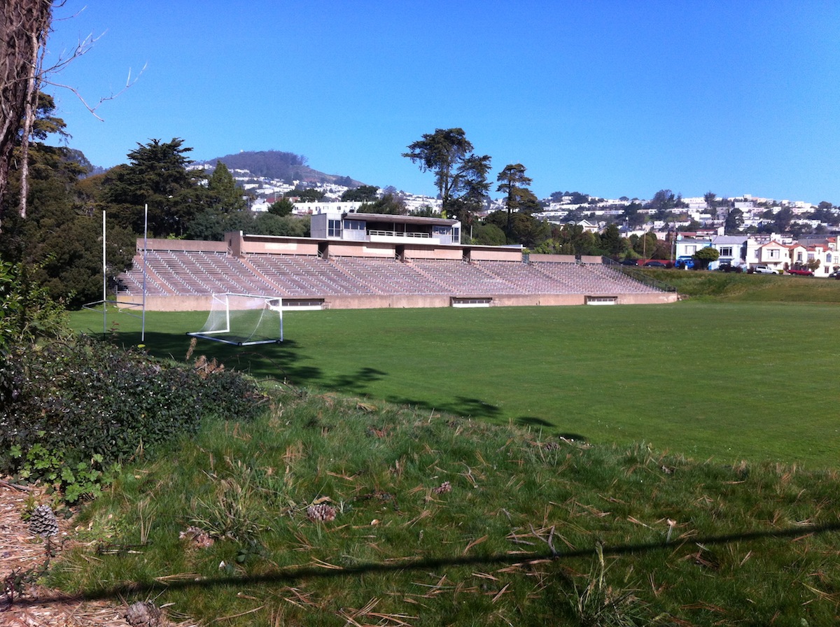
- Boxer stadium, MICHAEL P GONOS, CC BY-SA 3.0
Page built October 30, 2026. Spotted a mistake? Tell us or suggest a place.