




De Soto, Kansas
De Soto is a city of 6,414 people in Johnson County, Kansas, founded in 1828.
Why visit De Soto
Townapedia lists 1 museum or landmark, 21 parks and trails, 15 places to eat, 1 place to stay and 4 attractions in and around town.
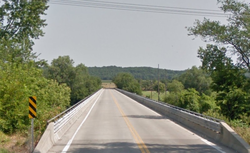
Highlights include Eudora Kaw River Bridge, Highway 2 Bridge, Sunflower Village Historic District and Kill Creek Streamway Park.
July is the warmest month, with average highs of 89°F; January lows average 20°F.
Weather in De Soto
Forecast from the National Weather Service. Full forecast
About De Soto
De Soto is a city along the Kansas River, in Johnson and Leavenworth counties in the U.S. state of Kansas, and part of the Kansas City Metropolitan Area. As of the 2020 census, the population of the city was 6,118, and the 2025 estimate is 7,083.
From the Wikipedia article De Soto, Kansas (this version), under CC BY-SA 4.0.
Things to do4

Eudora Kaw River Bridge
Bridge · 5.9 mi
Bridge in United States of America

Museums and landmarks1

Sunflower Village Historic District
Monument and historic site · National Register of Historic Places · 0.9 mi
Parks, trails and playgrounds21





9 more on the map.
Restaurants and cafes15

Burnt End BBQ
Restaurant · Barbecue · 1.3 mi
34071 Commerce Drive, De Soto
Su-Th 07:30-10:30, 11:00-21:00, Fr-Sa 07:30-10:30, 11:00-22:00
El Patron
Restaurant · Mexican · 1.3 mi
34429 West 91st Street, De Soto
Su-Th 11:00-21:00; Fr-Sa 11:00-21:30
Champs Chicken
Restaurant · Chicken · 2.0 mi
33540 Lexington Avenue, De Soto
10:00-21:00
Hunt Brothers Pizza
Restaurant · Pizza · 2.1 mi
33540 Lexington Avenue, De Soto
10:00-21:00
Wanda's Roadside Cafe
Restaurant · Breakfast · 2.5 mi
33080 West 83rd Street, De Soto
07:00-15:00




Domino's
Fast food · Pizza · 1.3 mi
33951 West 91st Terrace, De Soto
Su-Th 10:30-24:00; Fr-Sa 10:30-25:00
3 more on the map.
History
The land that would become De Soto was part of a large territory extending to present-day St. Louis that was occupied by the Osage people, who were relocated from east of the Mississippi River in the upper Midwest. After the Treaty of St Louis in 1825, the Shawnee were forcibly relocated from Cape Girardeau to southeastern Kansas near the Neosho River. Only the Black Bob band of Shawnee resisted removal, however by 1828 they too migrated west and settled in northeastern Kansas in and around De Soto along the Kansas River. Later in the 19th century, many cultures of Native Americans arrived in the area after being pushed west by European-American pressure following colonial expansion and later the discovery of Gold in 1849. Between 1829 and 1854 almost thirty tribes were assigned reservations in what would become Kansas Territory. The Shawnee Methodist Mission was built in the De Soto area to minister to the tribe. A reserve was established in Kansas and soon other Shawnee from as far east as Ohio would join the reservation. The Agency of the Shawnee Indians, also known as Lexington, was located on the southern edge of the city.
From the History section of De Soto, Kansas on Wikipedia, under CC BY-SA 4.0.
Where to stay1
Churches and places of worship5
First Methodist Church of Eudora
Church · National Register of Historic Places · 5.9 mi
Shopping5
Gas and EV charging3
Schools, colleges and libraries9
K-State Olathe Horticulture Research & Extension Center
School · 4.2 mi
35230 West 135th Street, De Soto
Healthcare1
Map of De Soto
65 places. The map loads OpenStreetMap tiles when you open it.
Climate by month
Monthly table
| Month | High | Low | Rain |
|---|---|---|---|
| Jan | 39°F | 20°F | 1.1 in |
| Feb | 44°F | 24°F | 1.5 in |
| Mar | 56°F | 34°F | 2.3 in |
| Apr | 66°F | 44°F | 3.8 in |
| May | 75°F | 54°F | 5.1 in |
| Jun | 85°F | 64°F | 5.3 in |
| Jul | 89°F | 68°F | 4.2 in |
| Aug | 88°F | 66°F | 4.0 in |
| Sep | 80°F | 58°F | 3.7 in |
| Oct | 68°F | 46°F | 3.3 in |
| Nov | 54°F | 34°F | 1.9 in |
| Dec | 43°F | 24°F | 1.5 in |
U.S. Climate Normals 1991-2020 for Olathe Johnson Co Ap 72447 (9 mi away), NOAA NCEI.
People and cost of living
American Community Survey 5-year estimates, 2020-2024, U.S. Census Bureau. Estimates have margins of error, larger for small towns.
Disaster history
Johnson County has had 7 federal disaster declarations since 2000, most often for severe storms.
- 2023-10-26: Severe Storms, Straight-Line Winds, Tornadoes, And Flooding (Severe Storm)
- 2020-03-29: Covid-19 Pandemic (Biological)
- 2020-03-13: Covid-19 (Biological)
- 2017-11-07: Severe Storms, Straight-Line Winds, And Flooding (Severe Storm)
- 2007-12-12: Severe Winter Storms (Severe Storm)
- 2005-09-10: Hurricane Katrina Evacuation (Hurricane)
OpenFEMA disaster declarations summaries.
Getting there and nearby towns
New Century AirCenter (JCI) is the nearest airport with scheduled flights listed in OpenStreetMap, 9 miles away.
- Olathe 10 mi southeast, about 16 min by car
- Lenexa 10 mi east, about 16 min by car
- Gardner 10 mi south, about 16 min by car
- Shawnee 11 mi northeast, about 18 min by car
- Bonner Springs 11 mi northeast, about 18 min by car
- Edgerton 12 mi south, about 20 min by car
- Basehor 13 mi north, about 21 min by car
- Lawrence 15 mi west, about 24 min by car
- Overland Park 16 mi east, about 26 min by car
- Kansas City 18 mi northeast, about 29 min by car
Drive times are estimates from straight-line distance, not routes.
Local news
Headlines from INDB, the NEMICO news database.
Reviews, tips and questions
Loading what members have shared...
Sources and licences
- NCES EDGE (Public domain): public schools
- NOAA NCEI U.S. Climate Normals 1991-2020 (Public domain): climate by month
- OpenFEMA (Public domain): disaster declarations
- OpenStreetMap contributors (ODbL 1.0): places, airports, map data
- U.S. Census Bureau (Public domain): population, income, housing, education, commute
- Wikidata (CC0 1.0): elevation, founding date, time zone, website, landmarks and historic places
- Wikimedia Commons (see each image): photos
- Wikipedia (CC BY-SA 4.0): overview and history text
Photo credits
- View from ISS Expedition 73, De Soto, Kansas, June 8, 2025 (ISS073-E-136080) (cropped), Earth Science and Remote Sensing Unit, NASA Johnson Space Center, Public domain
- Methodist Church 2008, MySunandStars, CC BY-SA 4.0
- DeSotoKansasBridgeHwy2, Popcorn700 at English Wikipedia, CC BY-SA 4.0
- 2 Siemens SC-44 Chargers on the Amtrak Southwest Chief -4 7-16-17 (35130829964), Tyler Silvest from Olathe, Kansas, CC BY 2.0
- New going up WB Topeka Sub in DeSoto, KS 4-12-17 (34020616275), Tyler Silvest from Olathe, Kansas, CC BY 2.0
- ISS049-E-37358 - View of Earth, Earth Science and Remote Sensing Unit , Lyndon B. Johnson Space Center, Public domain
- ISS063-E-75295 - View of Earth, Earth Science and Remote Sensing Unit, NASA Johnson Space Center, Public domain
- ISS063-E-75297 - View of Earth, Earth Science and Remote Sensing Unit, NASA Johnson Space Center, Public domain
- ISS063-E-75294 - View of Earth, Earth Science and Remote Sensing Unit, NASA Johnson Space Center, Public domain
- ISS063-E-75296 - View of Earth, Earth Science and Remote Sensing Unit, NASA Johnson Space Center, Public domain
- Union Pacific 844 (Alco 4-8-4) 10-15-16 - 01, KansasScanner, CC BY 2.0
- Union Pacific 844 (Alco 4-8-4) 10-15-16 - 02, KansasScanner, CC BY 2.0
- ISS047-E-57747 - View of Earth, Earth Science and Remote Sensing Unit , Lyndon B. Johnson Space Center, Public domain
- ISS027-E-10445 - View of Earth, Earth Science and Remote Sensing Unit , Lyndon B. Johnson Space Center, Public domain
- ISS021-E-32559 - View of Earth, Earth Science and Remote Sensing Unit , Lyndon B. Johnson Space Center, Public domain
- ISS034-E-57588 - View of Earth, Earth Science and Remote Sensing Unit , Lyndon B. Johnson Space Center, Public domain
- ISS017-E-21517 - View of Kansas, Earth Science and Remote Sensing Unit , Lyndon B. Johnson Space Center, Public domain
- Union Pacific 844 (Alco 4-8-4) 10-29-16 - 03, KansasScanner, CC BY 2.0
- Union Pacific 844 (Alco 4-8-4) 10-29-16 - 01, KansasScanner, CC BY 2.0
- Union Pacific 844 (Alco 4-8-4) 10-29-16 - 02, KansasScanner, CC BY 2.0
- Weaver KS, Dylan Edwards, CC BY 4.0


Page built October 30, 2026. Spotted a mistake? Tell us or suggest a place.