




Why visit Fresno
Townapedia lists 3 museums and landmarks, 6 parks and trails, 9 places to eat and 1 attraction in and around town.
Highlights include Cinemark.
August is the warmest month, with average highs of 93°F; January lows average 43°F.
Weather in Fresno
Forecast from the National Weather Service. Full forecast
About Fresno
Fresno is a part of Houston and an unincorporated community and census-designated place (CDP) in Fort Bend County, Texas, United States. The local population was 24,486 as of the 2020 census, an increase over the figure of 19,069 tabulated in 2010 census, and 6,603 at the 2000 census.
From the Wikipedia article Fresno, Texas (this version), under CC BY-SA 4.0.
Things to do1

Museums and landmarks3

Parks, trails and playgrounds6


Restaurants and cafes9

Olive Garden
Restaurant · Italian · 2.5 mi
Lively, family-friendly chain featuring Italian standards such as pastas & salads.
10327 Texas Highway 6 Frontage Road, Missouri City
Mo-Th,Su 11:00-22:00; Fr-Sa 11:00-23:00

Dutch Bros. Coffee
Cafe · Coffee Shop · 2.5 mi
10320 State Highway 6, Missouri City
Mo-Th,Su 05:00-22:00; Fr-Sa 05:00-23:00

MOD Pizza
Fast food · Pizza · 2.4 mi
10407 Highway 6, Missouri City
Mo-We 10:30-22:00; Th-Sa 10:30-23:00; Su 10:30-22:00
Popeyes
Fast food · Chicken · 2.6 mi
10220 State Highway 6, Missouri City
Mo-We,Su 09:00-24:00; Th-Sa 09:00-01:00
Sonic
Fast food · Burger · 1.6 mi
2723 FM 521 Road, Fresno
Mo-Th 06:00-23:00; Fr 06:00-24:00; Sa 08:00-24:00; Su 09:00-23:00
Wingstop
Fast food · Wings · 2.1 mi
5243 Farm to Market 521, Rosharon
History
A settler from Fresno, California, reportedly chose the name. The town is on land patented in 1880 once surrounded by cotton plantations. Fresno acquired a post office in 1910. In 1914 it had a telephone connection, a general store, a hardware store, and a population of 32. By 1933 the town had only ten inhabitants and one business. In 1936 it had three rows of dwellings on both sides of a paved highway (old Hwy 288, present day FM 521) and was served by the International-Great Northern Railroad. By 1946 the population had risen to 100, a level maintained throughout the 1960s. In 1970 the figure had increased to 120; two years later it had grown to 161. During the 1970s and 1980s the population of Fresno increased more rapidly as the area was affected by growth of Houston.
From the History section of Fresno, Texas on Wikipedia, under CC BY-SA 4.0.
Churches and places of worship2
Shopping2
Gas and EV charging2
Schools, colleges and libraries45
Map of Fresno
70 places. The map loads OpenStreetMap tiles when you open it.
Climate by month
Monthly table
| Month | High | Low | Rain | Snow |
|---|---|---|---|---|
| Jan | 63°F | 43°F | 4.1 in | 0.0 in |
| Feb | 67°F | 47°F | 3.0 in | 0.0 in |
| Mar | 72°F | 53°F | 3.4 in | 0.0 in |
| Apr | 79°F | 58°F | 3.6 in | 0.0 in |
| May | 85°F | 66°F | 4.9 in | 0.0 in |
| Jun | 90°F | 72°F | 4.6 in | 0.0 in |
| Jul | 92°F | 74°F | 3.8 in | 0.0 in |
| Aug | 93°F | 74°F | 4.5 in | 0.0 in |
| Sep | 89°F | 70°F | 4.9 in | 0.0 in |
| Oct | 82°F | 61°F | 5.2 in | 0.0 in |
| Nov | 72°F | 52°F | 4.0 in | 0.0 in |
| Dec | 65°F | 46°F | 3.9 in | 0.1 in |
U.S. Climate Normals 1991-2020 for Thompsons 3 Wsw (11 mi away), NOAA NCEI.
People and cost of living
American Community Survey 5-year estimates, 2020-2024, U.S. Census Bureau. Estimates have margins of error, larger for small towns.
Disaster history
Fort Bend County has had 22 federal disaster declarations since 2000, most often for hurricanes.
- 2024-07-09: Hurricane Beryl (Hurricane)
- 2021-02-19: Severe Winter Storms (Severe Ice Storm)
- 2021-02-14: Severe Winter Storm (Severe Ice Storm)
- 2020-08-24: Tropical Storms Marco And Laura (Hurricane)
- 2020-07-26: Hurricane Hanna (Hurricane)
- 2020-03-25: Covid-19 Pandemic (Biological)
OpenFEMA disaster declarations summaries.
Getting there and nearby towns
Sugar Land Regional Airport (SGR) is the nearest airport with scheduled flights listed in OpenStreetMap, 12 miles away.
- Pearland 9 mi east, about 14 min by car
- Sugar Land 11 mi west, about 17 min by car
- Bellaire 12 mi north, about 19 min by car
- Four Corners 15 mi northwest, about 24 min by car
- Alvin 17 mi southeast, about 27 min by car
- Houston 18 mi north, about 29 min by car
- Pasadena 21 mi northeast, about 33 min by car
- League City 22 mi east, about 35 min by car
- Cinco Ranch 22 mi northwest, about 36 min by car
- Deer Park 24 mi northeast, about 38 min by car
Drive times are estimates from straight-line distance, not routes.
Local news
Headlines from INDB, the NEMICO news database.
Reviews, tips and questions
Loading what members have shared...
Sources and licences
- NCES EDGE (Public domain): public schools
- NOAA NCEI U.S. Climate Normals 1991-2020 (Public domain): climate by month
- OpenFEMA (Public domain): disaster declarations
- OpenStreetMap contributors (ODbL 1.0): places, airports, map data
- U.S. Census Bureau (Public domain): population, income, housing, education, commute
- Wikidata (CC0 1.0): elevation, founding date, time zone, website
- Wikimedia Commons (see each image): photos
- Wikipedia (CC BY-SA 4.0): overview and history text
Photo credits
- Fresno TX Post Office, Djmaschek, CC BY-SA 4.0
- FBISD Goodman Elementary School, Djmaschek, CC BY-SA 4.0
- FBISD Burton Elementary School, Djmaschek, CC BY-SA 4.0
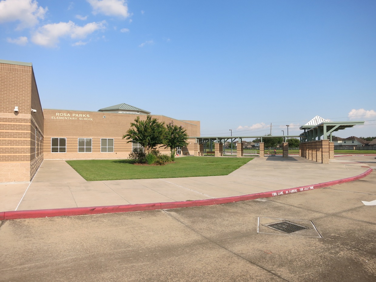
- FBISD Rosa Parks Elementary School, Djmaschek, CC BY-SA 4.0
- FBISD Hopson Field House, Djmaschek, CC BY-SA 4.0
- ArcolaTXSignonFM21, 2C2K Photography, CC BY 2.0
- FBISD Hightower High School, Djmaschek, CC BY-SA 4.0
- PetsMart Lizard, Dontyoufanta, CC BY-SA 4.0


Page built October 30, 2026. Spotted a mistake? Tell us or suggest a place.