




Why visit Bhatkal
Townapedia lists 3 museums and landmarks, 3 parks and trails, 6 places to eat, 8 places to stay and 3 attractions in and around town.
Highlights include Koosalli Water Falls, Bhatkal Lighthouse and Sharavathi LTM Wildlife Sanctuary.
Weather in Bhatkal
Forecast from MET Norway (CC BY 4.0). Full forecast
About Bhatkal
Bhatkal (Kannada: [bʰɐʈkɐɭɐ]) is a coastal town in the Uttara Kannada District of the Indian state of Karnataka. Bhatkal lies on National Highway 66, which runs between Mumbai and Kanyakumari, and has Bhatkal railway station which is one of the major railway stations along the Konkan Railway line, which runs between Mumbai and Mangalore.
From the Wikipedia article Bhatkal (this version), under CC BY-SA 4.0.
Things to do3


Museums and landmarks3

Parks, trails and playgrounds3
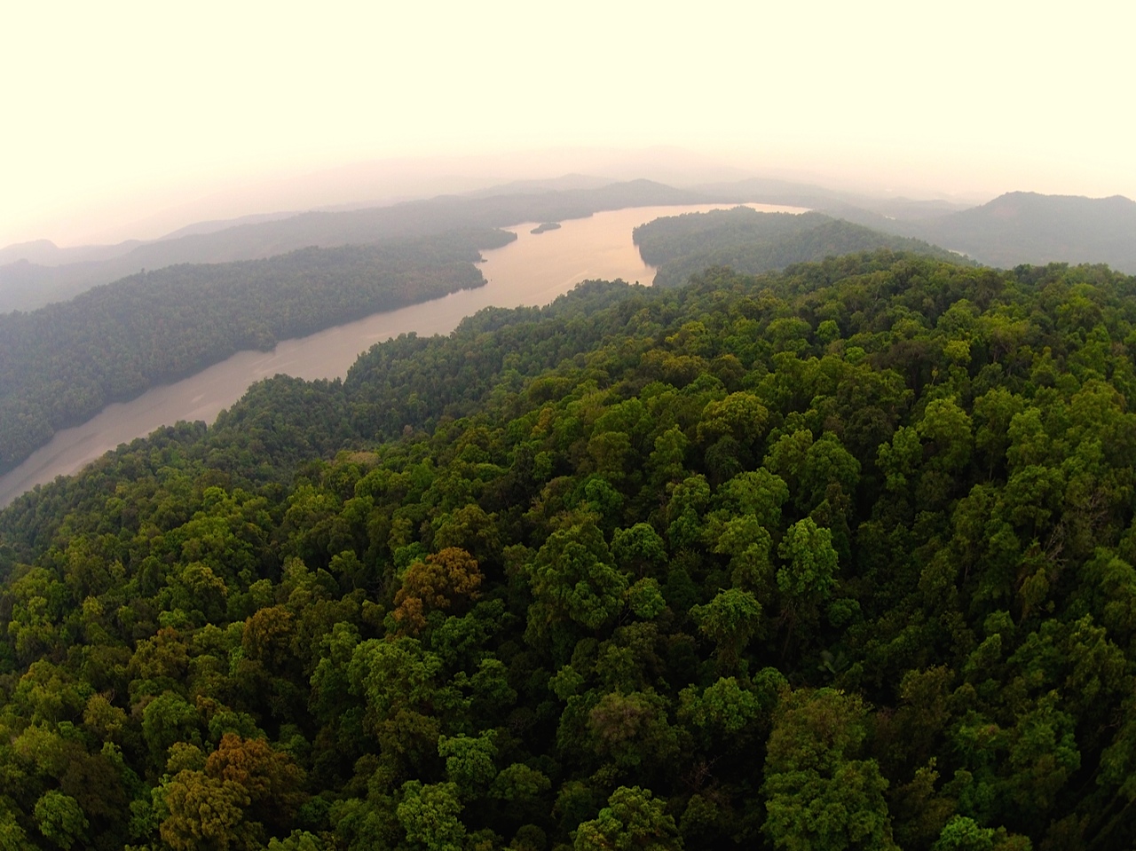
Sharavathi LTM Wildlife Sanctuary
Park · 12.7 km
Protected area in Karnataka, India

Restaurants and cafes6

Cafe Downtown
Cafe · Burger, Cake, Chicken, Coffee Shop, Diner, Donut, Ice Cream · 2.4 km
Best Shakes in Town!
Jali Road
Mo-Th, Sa, Su 11:00-00:00; Fr 05:00-00:00

Where to stay8
Hotel Kola paradise
Motel and hotel · 1.3 km
Shamsuddin Circle, Opposite Govt Bus Stand
Churches and places of worship10
Shopping1
Gas and EV charging5
Schools, colleges and libraries20
Healthcare16
Kotkhanda Health Subcentre
Clinic and pharmacy · 5.9 km
Near Grama Panchayath Office
Mavinkurve Health Subcentre
Clinic and pharmacy · 3.0 km
Near Mavinkurve Grama Panchayath
Map of Bhatkal
75 places. The map loads OpenStreetMap tiles when you open it.
Getting there and nearby towns
Shivamogga Airport (RQY) is the nearest airport with scheduled flights listed in OpenStreetMap, 116 km away.
- Jāli 3 km west, about 3 min by car
- Venkatapura 6 km northwest, about 6 min by car
- Murudeshwara 14 km northwest, about 14 min by car
- Byndoor 16 km southeast, about 16 min by car
- Honnavar 35 km north, about 35 min by car
- Kargal 36 km northeast, about 36 min by car
- Gangolli 39 km south, about 39 min by car
- Kundapura 42 km south, about 42 min by car
- Kōteshwar 47 km south, about 47 min by car
- Udupi 75 km south, about 1 h 15 min by car
Drive times are estimates from straight-line distance, not routes.
Local news
Headlines from INDB.
Reviews, tips and questions
Loading what members have shared...
Sources and licences
- GeoNames (CC BY 4.0): population, coordinates, regions and time zone
- OpenStreetMap contributors (ODbL 1.0): places, airports, map data
- Wikidata (CC0 1.0): elevation, founding date, time zone, website, landmarks and historic places
- Wikimedia Commons (see each image): photos
- Wikipedia (CC BY-SA 4.0): overview and history text
Photo credits
- Bhatkal-lighthouse, Mzchanna, CC BY-SA 4.0
- Sharavathi Valley, Prakashmatada, CC BY-SA 3.0
- Jettappa Naikana Chandranathesvara Basti 2012-09-08 17-01-30, aafaaque, CC BY-SA 3.0
- Jettappa Naikana Chandranathesvara Basti 2012-09-08 17-00-04, aafaaque, CC BY-SA 3.0
- Murudeshwara Temple 1, Ishwar from Bangalore, India, CC BY 2.0
- Railway station. Photos of Mangalore (Mangaluru), Karnataka, India. 2024 October 45, Fredericknoronha, CC BY-SA 4.0
- FURQAN AHMED, Furqanahmed7902, CC BY-SA 4.0
- ISS057-E-37058 - View of Earth, Earth Science and Remote Sensing Unit, NASA Johnson Space Center, Public domain
- Shiroor Railway station, karnataka, Sujithshivam511, CC BY-SA 4.0
- Malabar Squirrel, Harsha Narasimhamurthy, CC BY 3.0
- Go Fisherman go - Gokarna India 2011 - Flickr - rundenreisen.org, Andreas Lehner from Berlin, Germany, CC BY 2.0


Page built November 3, 2026. Spotted a mistake? Tell us or suggest a place.