




Bhubaneswar, India
Bhubaneswar is a regional capital of 885,363 people in Odisha, India, founded in 1948.
Why visit Bhubaneswar
Townapedia lists 25 museums and landmarks, 108 parks and trails, 70 places to eat, 47 places to stay and 19 attractions in and around town.
Highlights include Utkal University, Asian School of Business Management, Kala Bhoomi Odisha Crafts Museum and Kalabhoomi.
Weather in Bhubaneswar
Forecast from MET Norway (CC BY 4.0). Full forecast
About Bhubaneswar
Bhubaneswar (/bʊbəˈneɪswəɹ/; Odia: [ˈbʱubɔneswɔɾɔ] ), also known as Bhubaneshwar, is the capital and the largest city of the Indian state of Odisha. It is located in the Khordha district. The suburban region, especially the old town, was historically often depicted as Chakra Khetra and Ekamra Khetra (Area adorned with a mango tree). Bhubaneswar is dubbed the "Temple City", a nickname earned because of many temples which are standing there.
From the Wikipedia article Bhubaneswar (this version), under CC BY-SA 4.0.
Travel tips from other travellers: Bhubaneswar on Wikivoyage (CC BY-SA 4.0).
Things to do19

Utkal University
School · 3.6 km
State public university in Khordha, Odisha, India
Asian School of Business Management
School · 12.0 km
University in Odisha, India

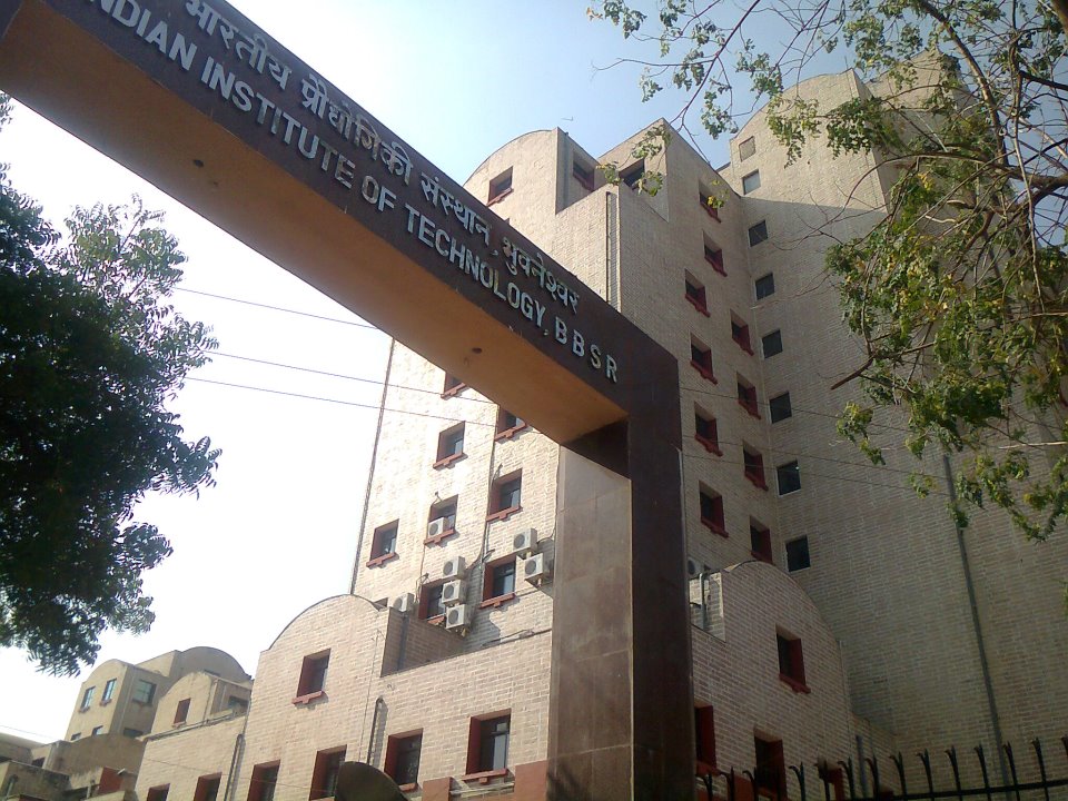
Indian Institute of Technology Bhubaneswar
School · 3.6 km
One of the national engineering university situated at Bhubaneswar Odisha
Kalinga Institute of Social Sciences
School · 10.5 km
Deemed to be University in Odisha, India


Odisha University of Agriculture and Technology
School · 2.4 km
State public university in Khordha, Odisha, India
PGIMER and Capital Hospital, Bhubaneswar
School · 1.8 km
Indian Postgraduate Medical school
Siksha O Anusandhan University
School · 4.6 km
Deemed to be University at Odisha

Utkal University of Culture
School · 11.5 km
State public university in Khordha, Odisha, India
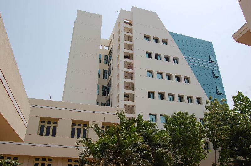
Xavier Institute of Management, Bhubaneswar
School · 4.3 km
Indian business school
7 more on the map.
Museums and landmarks25

Kala Bhoomi Odisha Crafts Museum
Museum · 3.6 km
Jagamara - Sundarpada Road, Bhubaneswar
Tu-Su 10:00-17:30

Odisha State Museum
Museum · 2.0 km
Museum of human history and culture in India

Odisha Crafts Museum
Museum · 3.6 km
Museum on crafts of Indian state of Odisha

Regional Museum of Natural History, Bhubaneswar
Museum · 3.0 km
A museum in Bhubaneswar, Odisha

Sisupalgarh
Monument and historic site · 5.5 km
Archaeological site in Khordha district, India

Tribal Research Institute Museum
Museum · 2.0 km
Museum of Tribal Arts and Artifacts

13 more on the map.
Parks, trails and playgrounds108

Ekamra Kanan
Park · 4.7 km
Botanical garden in Bhubaneswar, Odisha, India


Nandankanan Zoological Park
Park · 14.3 km
Zoo and botanical garden in Bhubaneswar, Odisha, India
Children Park
Park · 5.2 km
A park with a dedicated place for children to play.
sunrise-sunset
Anant Vihar Park (Phase-3)
Park · 4.4 km
A Park That Is Open To The Public For Wellness
Mo-Su 09:00-20:30
Ananta Vihar Park
Park · 4.4 km
phase 3 Ananta Vihar, Bhubaneswar
Mo-Su 05:00-21:00
Bhimeswar Park
Park · 4.2 km
Bhimatangi Square Bhimatangi Road, Bhubaneswar
05:00-21:00
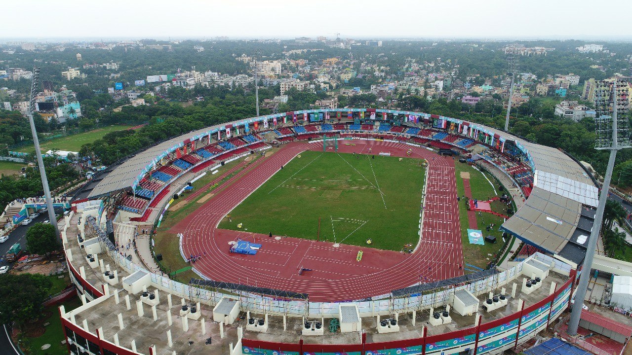


Kharavela Park
Park · 5.4 km
Shankar Rd, Shreekhetra Vihar, Khandagiri, Bhubaneswar
Mo-Fr 04:00-10:00
96 more on the map.
Restaurants and cafes70

Oishi Fresh | Fastfood Restaurant | Bhubaneswar
Restaurant · Chicken, Barbecue, Chinese, Sandwich · 1.3 km
52 near Dalma lane, Old Ag Colony, Unit 4, Madhusudan Nagar
Mo-Su 18:00-22:00
Machharanka
Restaurant · Fast Food, Indian, Chinese, Burger · 3.0 km
Plot No 102 Jaydev Vihar, Besid Pal Heights, Bhubaneswar
Mo-Su 10:00-22:00
Manomay-Kolkata’s Sweetest Side
Restaurant · Indian · 2.3 km
610 Cuttack - Puri Rd, Bomikhal, Laxmisagar, Bhubaneswar

SnackCasa
Cafe · Pizza, Coffee Shop, Burger, Sandwich, Tea, German, Jaggery Tea, Ginger Tea, Ginger, Jaggery · 4.8 km
Shop No. B6, Manohar Chai Nalco Road, Bhubaneswar
Coffee corruption
Cafe · Coffee Shop · 0.7 km
Master Canteen Chowk, Bhubaneswar
Mo-Su 09:00-21:00
58 more on the map.
History
Bhubaneswar stands near the ruins of Sisupalgarh. Dhauli, near Bhubaneswar was the site of the Kalinga War (c. 262-261 BCE), in which the Mauryan emperor Ashoka invaded and annexed Kalinga. One of the most complete edicts of the Mauryan Emperor, Ashoka, dating from between 272 and 236 BCE, remains carved in rock, 8 kilometres (5.0 mi) to the southwest of the modern city. After the decline of the Mauryan empire, the area came under the rule of Mahameghavahana dynasty, whose most well-known ruler is Kharavela. His Hathigumpha inscription is located at the Udayagiri and Khandagiri caves near Bhubaneswar. The area was subsequently ruled by several dynasties, including Satavahanas, Guptas, Matharas, and Shailodbhavas.
From the History section of Bhubaneswar on Wikipedia, under CC BY-SA 4.0.
Where to stay47
Churches and places of worship67
Shopping24
Gas and EV charging19
Schools, colleges and libraries44
Healthcare170
Map of Bhubaneswar
250 places. The map loads OpenStreetMap tiles when you open it.
Getting there and nearby towns
Biju Patnaik International Airport (BBI) is the nearest airport with scheduled flights listed in OpenStreetMap, 3 km away.
- Pratapsasan 9 km southeast, about 9 min by car
- Dadhapatna 15 km north, about 15 min by car
- Belagachhia 17 km north, about 17 min by car
- Jatani 18 km southwest, about 18 min by car
- Pipili 18 km south, about 18 min by car
- Godiputamatiapara 20 km southwest, about 20 min by car
- Majhihara 20 km southeast, about 20 min by car
- Bhakarsahi 21 km southeast, about 21 min by car
- Cuttack 22 km north, about 22 min by car
- Puri 53 km south, about 53 min by car
Drive times are estimates from straight-line distance, not routes.
Local news
Headlines from INDB.
Reviews, tips and questions
Loading what members have shared...
Sources and licences
- GeoNames (CC BY 4.0): population, coordinates, regions and time zone
- OpenStreetMap contributors (ODbL 1.0): places, airports, map data
- Wikidata (CC0 1.0): elevation, founding date, time zone, website, landmarks and historic places
- Wikimedia Commons (see each image): photos
- Wikipedia (CC BY-SA 4.0): overview and history text
Photo credits
- Lingaraj Temple in Mansoon, 2023, Government of Odisha, CC BY 4.0
- Mahatma Gandhi marg in Bhubaneswar (January 2019) 2, IM3847, CC BY-SA 4.0
- Priyambada Mohanty Hejamdi during 22nd Odia Film Award ceremony 2014, Bhubaneswar, Subhashish Panigrahi, CC BY-SA 4.0
- IITBBS, Monsterthinks, CC BY-SA 3.0
- 360° photo sphere of Orissa University of Agriculture and Technology, Psubhashish, CC BY-SA 4.0
- Bhubaneswar State Museum, User:Tinucherian, CC BY 3.0
- Dhauli Peace Pagoda, Psubhashish at or.wikipedia, CC BY-SA 3.0
- Regional Museum of Natural History Bhubaneswar, Hellohappy, CC BY-SA 4.0
- Sishupalgarh 3, Rangan Datta Wiki, CC BY-SA 4.0
- Chandaka Forest and Elephant Reserve 01, Devopam, CC BY-SA 4.0
- Nandankanan, Bhubaneswar, Odisha, Abhas Kumar Kheti, CC BY-SA 3.0
- Craft Museum 01, Saileshpat, CC BY-SA 4.0
- Lingaraj temple Bhubaneswar, Pattnaik.chandan, CC BY-SA 4.0
- Ananta Basudev Temple, Bhubaneswar, Sandeepsaho, CC BY-SA 4.0
- Yameswar Temple, Bhubaneswar, Chinmayee Mishra, CC BY-SA 4.0
- Muktesvara deula, Subhashish Panigrahi, CC BY-SA 3.0
- Aerial view of Kalinga Stadium, Government of Odisha, CC BY 4.0
- RajaRani-Bhubaneswar-Odisha-Dsc001, Chowbeypiali, CC BY-SA 4.0
- Parasurameswar temple with linga, Balaji, CC BY-SA 3.0
- Kapilesvara temple (15), Ssriram mt, CC BY-SA 4.0
- Chitrakarini Temple, Bhubaneshwar (5), Radosław Botev, CC BY 3.0 pl
- Tribal museum Bhubaneswar, Balaji, CC BY-SA 3.0
- XIMB New Academic Block, Kamal misra at English Wikipedia, CC BY-SA 3.0
- Ananta Vasudev, Satyabrata, CC BY-SA 4.0
- Muktesvar Temple, Robin Mohapatra, CC BY-SA 4.0
- Parsurameswara temple complex, Teamdetourodisha, CC BY-SA 4.0
- Buxi Jagabandhu Statue, Krupasindhu Muduli, CC BY-SA 3.0
- Rajarani Temple 2, Amartyabag, CC BY-SA 3.0
- Collage of Jameswar Temple, Sailesh Patnaik, CC BY-SA 4.0
- Front gate Utkal University of Culture, Utkal University Of Culture, CC BY-SA 4.0
- Chitrakarini Temple , Bhubaneswar, Satyakam Parthasarathy, CC BY-SA 4.0
- Bijay Mishra123, Hellohappy, CC BY-SA 3.0
- Ramesh Chandra Das plays the violin in an Odissi music performance, Prateek Pattanaik, CC BY-SA 4.0
- Guru Ramhari Das, Prateek Pattanaik, CC BY-SA 4.0
- Guru Sachidananda Das plays the Odissi mardala, Prateek Pattanaik, CC BY-SA 4.0
- Guru Keshab Chandra Rout, Prateek Pattanaik, CC BY-SA 4.0
- Jabahar Mishra plays Odissi music 01, Prateek Pattanaik, CC BY-SA 4.0
- Shyamamani Devi (Patnaik) performs Odissi music, Prateek Pattanaik, CC BY-SA 4.0
- Rupak Kumar Parida sings Odissi music, Prateek Pattanaik, CC BY-SA 4.0
- Jagannath Kuanr playing Odissi mardala, Prateek Pattanaik, CC BY-SA 4.0


Page built November 2, 2026. Spotted a mistake? Tell us or suggest a place.