




Why visit Churāchāndpur
Townapedia lists 1 park or trail and 1 attraction in and around town.
Highlights include Sangai International University.
Weather in Churāchāndpur
Forecast from MET Norway (CC BY 4.0). Full forecast
About Churāchāndpur
Churachandpur (IPA: /tʃʊRVːˌtʃaːnɗpʊr/), locally known as Lamka is the second largest town in the Indian state of Manipur and the district headquarters of the Churachandpur district. The name "Churachandpur" was transferred from the earlier headquarters of the region at Songpi to the present location, and honours Churachand Singh, former maharaja of the Manipur princely state. The local people reject the name as a colonial imposition and prefer using the native name "Lamka".
From the Wikipedia article Churachandpur (this version), under CC BY-SA 4.0.
Things to do1

Sangai International University
School · 3.4 km
Private university in Churachandpur, Manipur, India
Parks, trails and playgrounds1

Churches and places of worship6

Gas and EV charging1

History
The Khuga River Valley, the location of the present-day Churachandpur Town, was forested and mostly uninhabited at the time of the Kuki Rebellion of 1917–1919. However, it was used for grazing mithuns (also called metna), of which the chief of Ukha, was the largest owner in the area. Prior to the Kuki Rebellion, the British had also allowed some number of Nepali ex-servicemen to settle in the valley and use it for grazing cattle. The destruction caused by the cattle to the crops of the Kuki people in the surrounding areas was considered a significant grievance causing antipathy towards the British administration. The Nepalis were however loyal to the British, paid regular taxes, and also supplied ghee to the British troops. One of the first events of the Kuki Rebellion was to raid the Nepali graziers of the Khuga Valley on 28 December 1917, which was carried out by the Thadou and Zou tribes jointly.
Also during the Rebellion, the British constructed a road to Hiangtam in the southern part of the subdivision, which branched off the Tipaimukh road at a location that lataer came to be called "Hiangtam Lamka". It became the site of a new village.
From the History section of Churachandpur on Wikipedia, under CC BY-SA 4.0.
Schools, colleges and libraries3
Healthcare5
Map of Churāchāndpur
17 places. The map loads OpenStreetMap tiles when you open it.
Getting there and nearby towns
Bir Tikendrajit International Airport (IMF) is the nearest airport with scheduled flights listed in OpenStreetMap, 52 km away.
- Hill Town 2 km east, about 2 min by car
- Kwakta 14 km northeast, about 14 min by car
- Kumbi 18 km northeast, about 18 min by car
- Moirāng 21 km northeast, about 21 min by car
- Shuganu 21 km east, about 21 min by car
- Kakching Khunou 25 km east, about 25 min by car
- Ningthoukhong 28 km north, about 28 min by car
- Bishnupur 34 km north, about 34 min by car
- Kakching 36 km northeast, about 36 min by car
- Imphal 60 km northeast, about 1 h by car
Drive times are estimates from straight-line distance, not routes.
Local news
Headlines from INDB.
Reviews, tips and questions
Loading what members have shared...
Sources and licences
- GeoNames (CC BY 4.0): population, coordinates, regions and time zone
- OpenStreetMap contributors (ODbL 1.0): places, airports, map data
- Wikidata (CC0 1.0): elevation, founding date, time zone, website, landmarks and historic places
- Wikimedia Commons (see each image): photos
- Wikipedia (CC BY-SA 4.0): overview and history text
Photo credits
- Papilio clytia clytia (race panope?), Thomas tk tungnung, CC BY-SA 4.0
- Anax indicus, Thomas TK Tungnung, CC BY-SA 4.0
- Euthalia aconthea, Male, Thomas TK Tungnung, CC BY-SA 4.0
- Euploea mulciber, Male, Thomas TK Tungnung, CC BY-SA 4.0
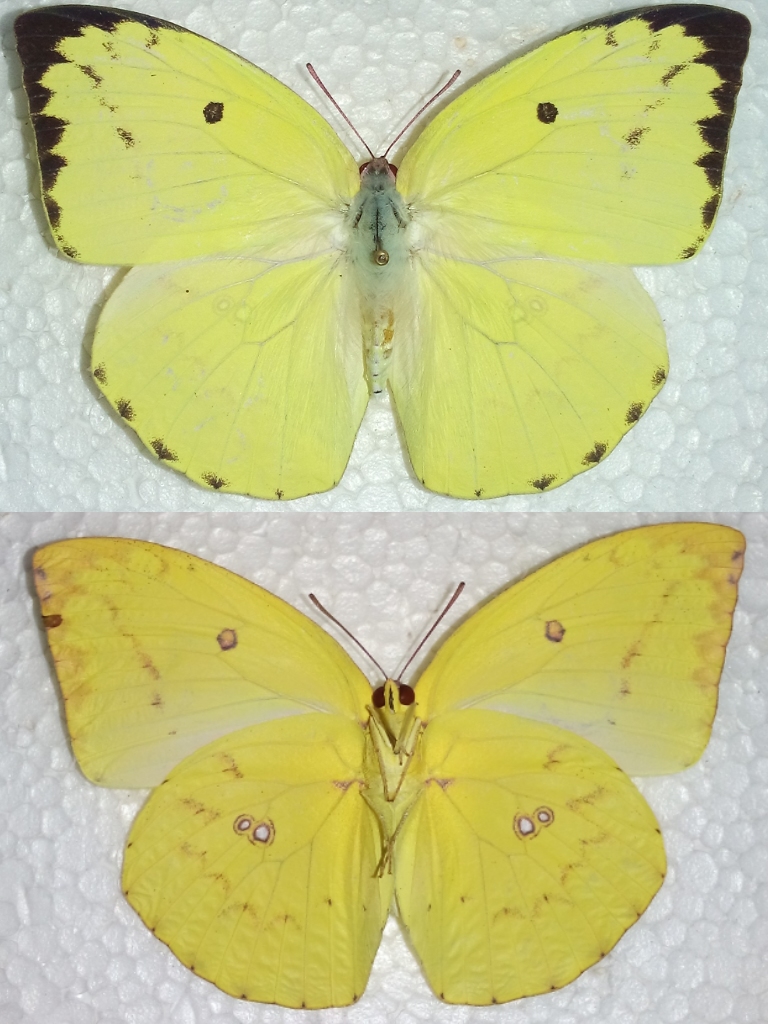
- Catopsila pomona, Female, Thomas tk tungnung, CC BY-SA 4.0
- Anaciaeshna jaspidea, Thomas TK Tungnung, CC BY-SA 4.0
- Lepidoptera collection, Thomas TK Tungnung, CC BY-SA 4.0
- Attacus atlas, The Atlas Moth, Thomas TK Tungnung, CC BY-SA 4.0
- Orthetrum sp., Thomas TK Tungnung, CC BY-SA 4.0
- Erebus caprimulgus(Fabricius 1781), Thomas TK Tungnung, CC BY-SA 4.0
- Xylotrupes socrates, Thomas TK Tungnung, CC BY-SA 4.0
- Episteme sp., Thomas TK Tungnung, CC BY-SA 4.0
- Living room Wall frames arrangement idea, Thomas TK Tungnung, CC BY-SA 4.0
- Lymantria sp. , Female, Thomas TK Tungnung, CC BY-SA 4.0
- Polymorphism in Papilio memnon Female, Thomas tk tungnung, CC BY-SA 4.0
- The Great Mormon, Papilio memnon, Male, seen mud-puddling in a ditch, Thomas TK Tungnung, CC BY-SA 4.0


Page built November 3, 2026. Spotted a mistake? Tell us or suggest a place.