


Daman, India
Daman is a regional capital of 44,282 people in Dadra and Nagar Haveli and Daman and Diu, India.
Why visit Daman
Townapedia lists 4 museums and landmarks, 4 parks and trails, 3 places to eat, 2 places to stay and 2 attractions in and around town.
Highlights include Jampore Beach.
Weather in Daman
Forecast from MET Norway (CC BY 4.0). Full forecast
About Daman
Daman (IPA: [d̪əmən]) is a city and the administrative capital of the Indian union territory of Dadra and Nagar Haveli and Daman and Diu. It is a municipal council situated in the Daman district.
From the Wikipedia article Daman, India (this version), under CC BY-SA 4.0.
Travel tips from other travellers: Daman on Wikivoyage (CC BY-SA 4.0).
Things to do2


Museums and landmarks4



Parks, trails and playgrounds4



Restaurants and cafes3

Fusion Chaskaa
Cafe · Coffee Shop, Pizza, Burger, Sandwich, Indian, Regional, Misal Pav, Tea · 1.2 km
Main Road,Moti Daman, Moti Daman
Mo-Su 09:00-21:00


History
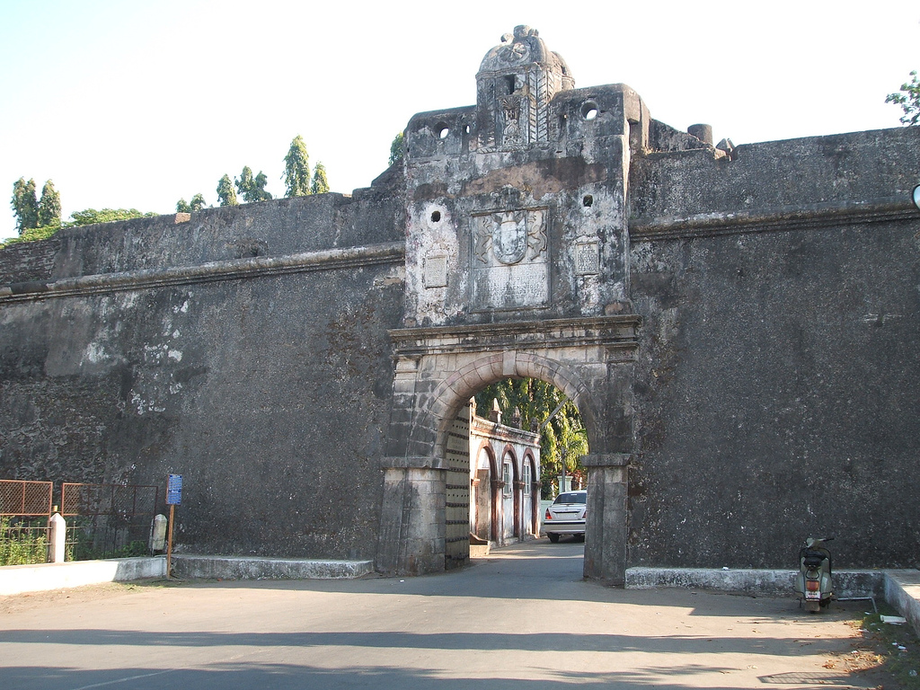
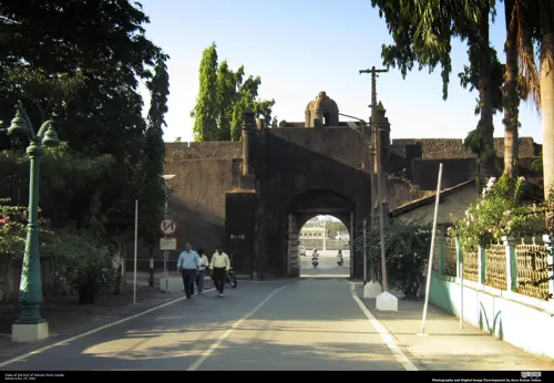
The Portuguese Captain-Major Diogo de Melo arrived at the Daman shore by chance in 1523 while sailing towards Ormuz. He was caught in a violent storm and had his boat blown towards the coast of Daman. Shortly after, it was acquired as a Portuguese colony for over 400 years. A larger fort was built in Moti Daman in the 16th century to guard against the Mughals, who ruled the area until the Portuguese arrived. It stands today, most of it preserved in its original form. Today the majority of the municipal government offices are inside the fort.
Daman was incorporated into the Republic of India in December 1961 after nearly 400 years of Portuguese colonial rule which had largely led to exploitation of the area and native population. After refusal to vacate the occupied territory of mainland India, the Portuguese surrendered before the Indian Army, while some of its Army personnel deserted their posts and escaped to Karachi, Pakistan. The battle left four Indians dead and 14 wounded; Portuguese casualties were 10 dead and two wounded.
From the History section of Daman, India on Wikipedia, under CC BY-SA 4.0.
Where to stay2
Churches and places of worship8
Shopping1
Gas and EV charging4
Schools, colleges and libraries4
Healthcare16
Map of Daman
48 places. The map loads OpenStreetMap tiles when you open it.
Getting there and nearby towns
Daman Airport (NMB) is the nearest airport with scheduled flights listed in OpenStreetMap, 2 km away.
- Nani Daman 0 km north, about 1 min by car
- Dunetha 3 km northeast, about 3 min by car
- Marwad 3 km north, about 3 min by car
- Khali Kachigam 5 km southeast, about 5 min by car
- Dabhel 5 km east, about 5 min by car
- Kadaiya 6 km north, about 6 min by car
- Bhimpur 7 km northeast, about 7 min by car
- Bhagdawada 9 km east, about 9 min by car
- Vapi 9 km southeast, about 9 min by car
- Surat 87 km north, about 1 h 30 min by car
Drive times are estimates from straight-line distance, not routes.
Local news
Headlines from INDB.
Reviews, tips and questions
Loading what members have shared...
Sources and licences
- GeoNames (CC BY 4.0): population, coordinates, regions and time zone
- OpenStreetMap contributors (ODbL 1.0): places, airports, map data
- Openverse (see each image): photos
- Wikidata (CC0 1.0): elevation, founding date, time zone, website, landmarks and historic places
- Wikimedia Commons (see each image): photos
- Wikipedia (CC BY-SA 4.0): overview and history text
Photo credits
- Gateway of Moti Daman, Viraat2000, CC BY-SA 3.0
- The port of Daman, India, Ashok Prabhakaran, CC BY-SA 2.0
- Daman Church12, Kavishankar Panchtilak, CC BY-SA 4.0
- I Love Daman at Jetty Garden, Daman, Nizil Shah, CC BY-SA 4.0
- East Gate of Moti Daman fort with inscription, Nizil Shah, CC BY-SA 4.0
- Freedom Memorial in Moti Daman Fort, Nizil Shah, CC BY-SA 4.0
- Ruined Church Dominican Monastery, Daman 02, Nizil Shah, CC BY-SA 4.0
- Evening View at Devka Beach, Daman - panoramio, Raman Patel, CC BY 3.0
- Church of Bom Jesus, Daman, Dadra and Nagar Haveli and Daman and Diu, India (2015), Miteshnathani, CC BY-SA 4.0
- Gate of the Church of Bom Jesus, Daman, Nizil Shah, CC BY-SA 4.0
- Jain Temple, Daman (2012), Rachna 13, CC BY-SA 3.0
- Harbour View from Moti Daman Fort, Viraat2000, CC BY-SA 3.0
- Ruins of Old Church In Moti Daman, Viraat2000, CC BY-SA 3.0
- Entrance of Old Church inside Moti Daman, Viraat2000, CC BY-SA 3.0
- Second Gateway of Moti Daman, Viraat2000, CC BY-SA 3.0
- Ruined Church Dominican Monastery, Daman 01, Nizil Shah, CC BY-SA 4.0
- Sunset at Devka Beach, Daman - panoramio, Raman Patel, CC BY 3.0
- Daman.jp, Sitanshu3, CC BY-SA 4.0
- Daman Port Western India, Hoshang Karanjia, CC BY-SA 3.0
- Daman Aviary Birds, Real96kmaratha, CC BY-SA 4.0
- Sunset view from Daman beach, Deven Surti, CC BY-SA 4.0
- Jampore Beach (78525), Real96kmaratha, CC BY-SA 4.0
- Dscn3937 Jpg, Hoshang Karanjia, CC BY-SA 3.0
- Fort of St.Jerome, Rachna 13, CC BY-SA 3.0
- Dancing girls relief at Jain Temple, Rachna 13, CC BY-SA 3.0
- Fort Entrance Interiors, Viraat2000, CC BY-SA 3.0
- Mirasol Lake Garden, Real96kmaratha, CC BY-SA 4.0
- Devka beach - panoramio, prakash dakhara, CC BY 3.0
- Sushilaayushi, Sushilpatel903356, CC BY-SA 4.0
- Vikas Chauhan, Vikaschauhanofficial, CC BY-SA 4.0
- मनीष कुमार , मनीष अंबेडकर 3336, ManishAmbedkar, CC BY-SA 4.0
- View of Moti Daman Fort from inside, AURO KUMAR SAHOO, CC BY-SA 2.0


Page built November 3, 2026. Spotted a mistake? Tell us or suggest a place.