



Why visit Delhi
Townapedia lists 102 museums and landmarks, 33 parks and trails, 202 places to eat, 109 places to stay and 34 attractions in and around town.
Highlights include All India Institute of Ayurveda, Delhi, All India Institute of Medical Sciences, New Delhi, Indian War Memorial Museum and National Gandhi Museum.
Weather in Delhi
Forecast from MET Norway (CC BY 4.0). Full forecast
About Delhi
Delhi, officially the National Capital Territory (NCT) of Delhi, is a megacity and a union territory of India containing New Delhi, the capital of India. Straddling the Yamuna river, but spread chiefly to the west, or beyond its right bank, Delhi shares borders with the state of Uttar Pradesh in the east and with the state of Haryana in the remaining directions. Delhi became a union territory on 1 November 1956 and the NCT in 1995. The NCT covers an area of 1,484 square kilometres (573 sq mi).
From the Wikipedia article Delhi (this version), under CC BY-SA 4.0.
Travel tips from other travellers: Delhi on Wikivoyage (CC BY-SA 4.0).
Things to do34

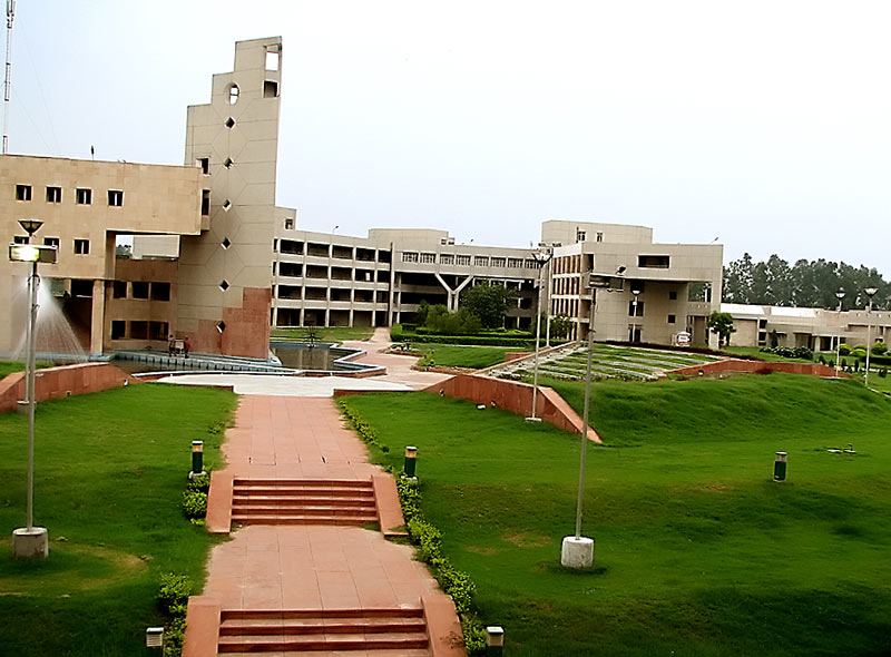
All India Institute of Ayurveda, Delhi
School · 16.6 km
Public medicine institution in New Delhi, India
All India Institute of Medical Sciences, New Delhi
School · 9.9 km
Indian medical school and hospital in New Delhi

Appu Ghar
Monument and historic site · 4.1 km
Amusement park in Delhi, India
Army College of Medical Sciences
School · 10.2 km
College in New Delhi, India

Atma Ram Sanatan Dharma College
School · 9.3 km
Constituent college of the University of Delhi

College of Art, Delhi
School · 3.3 km
College affiliated to the Amdebkar University Delhi

COMM-IT Career Academy
School · 13.3 km
College affiliated to the Guru Gobind Singh Indraprastha University
Delhi Technological University
School · 15.6 km
State public university in North West, Delhi, India
Department of East Asian Studies, University of Delhi
School · 4.6 km
Department of the University of Delhi
Deshbandhu College
School · 12.6 km
Prominent college in South Delhi, affiliated to University of Delhi
Dyal Singh College, Delhi
School · 6.8 km
Dyal Singh College , University of Delhi
IILM Institute
School · 7.2 km
Education institute in New Delhi, India
22 more on the map.
Museums and landmarks102

Indian War Memorial Museum
Museum · 1.0 km
The Indian War Memorial Museum was set up as a tribute to the soldiers who had participated in the World Wars in India and abroad on...
1st & 2nd Floor, Naubat Khana, Red Fort Complex Netaji Subhash Marg, Delhi
Tu-Su 09:00-17:00

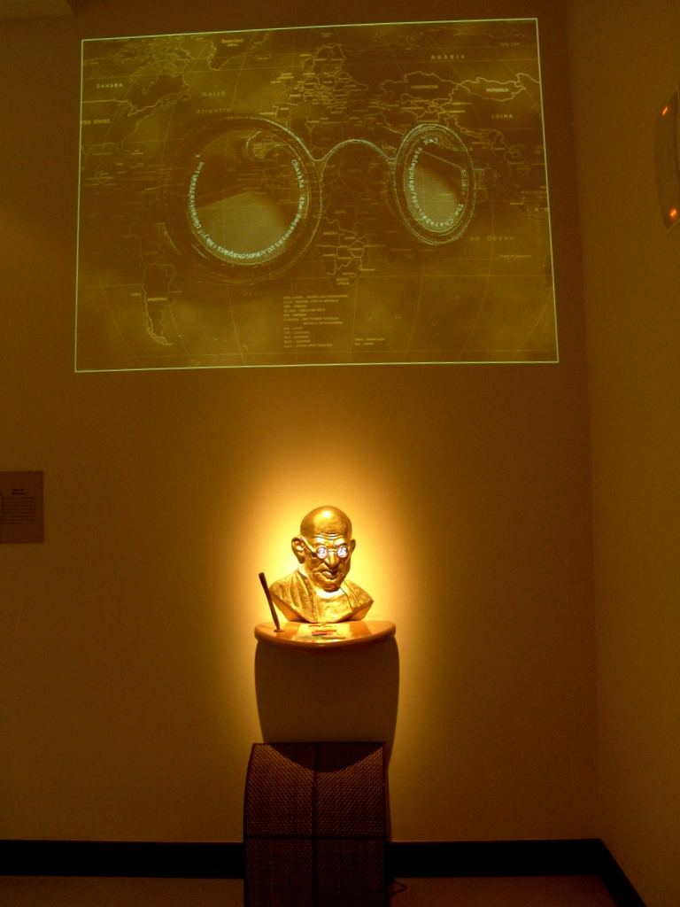
National Gandhi Museum
Museum · 2.0 km
Museum located in New Delhi, India showcasing the life and principles of Mahatma Gandhi
Mahatma Gandhi Marg
Mo-Su 09:30-17:30

Gandhi Smriti
Museum · 5.8 km
Museum and death place of Mahatma Gandhi, in New Delhi, India


iron pillar of Delhi
Monument and historic site · 14.9 km
7.2 m pillar in the Qutb complex, Mehrauli, Delhi, India, erected in the 5th century CE

Jaipur Column
Monument and historic site · 5.1 km
Monument in New Delhi

Kotla Firoz Shah Ruins
Monument and historic site · 2.2 km
Sunrise - Sunset


Mehrauli Archaeological Park
Monument and historic site · 15.2 km
Archaeological park in India

Mirza Ghalib Museum
Museum · 6.8 km
Museum on the life and times of the 19th century Urdu poet Mirza Ghalib
90 more on the map.
Parks, trails and playgrounds33




21 more on the map.
Restaurants and cafes202


Andhra Canteen
Restaurant · South Indian · 2.2 km
M-58/59 Middle Circle, New Delhi
10:00-22:30



Naturals
Ice cream · Ice Cream · 2.2 km
8, New Delhi
11:00-24:00
Sudh shakari dhaba
Restaurant · Indian · 1.3 km
e7 Tagore Road
Mo-Su 08:00-01:00
Hira Sweets
Restaurant · Pizza, Indian, Burger, Italian, Chinese, Sandwich, Coffee Shop · 2.2 km
Mo-Su 08:00-23:00
Kake di Hatti
Restaurant · Local · 1.1 km
08:00-01:00
Open in Google Maps · +91 92058 17114; +91 99365 93140; +91 80106 95450
Keshav Restaurant
Restaurant · 2.2 km
Radial Road 6, New Delhi
Mo-Su 10:00-18:00
Shake Square
Restaurant · Shake, Ice Cream, Italian, Salad, Noodles, Pizza, Pasta · 2.2 km
42/2 Middle Circle

Everest Bakery Cafe
Cafe · Italian Pizza, Indian, Italian · 2.0 km
Mo-Su 10:00-22:00
190 more on the map.
Where to stay109
Churches and places of worship60
Shopping35
Gas and EV charging10
Schools, colleges and libraries22
Delhi Public Library
Library · 0.9 km
Delhi Public Library Shyama Prasad Mukherji Marg, Chandni Chowk
Healthcare32
R D Jindal Charitable Clinic
Clinic and pharmacy · 1.0 km
1/8B Asaf Ali Road, New Delhi
Map of Delhi
250 places. The map loads OpenStreetMap tiles when you open it.
Getting there and nearby towns
Hindon Airport (HDO) is the nearest airport with scheduled flights listed in OpenStreetMap, 14 km away.
- New Delhi 4 km southwest, about 4 min by car
- Khajoori Khas 7 km north, about 7 min by car
- Gharonda Neemka Bangar 7 km southeast, about 7 min by car
- Mir Pur Turk 7 km northeast, about 7 min by car
- Yamuna Vihar 7 km northeast, about 7 min by car
- Shakar Pur Baramad 6 km southeast, about 6 min by car
- Ziauddin Pur 8 km northeast, about 8 min by car
- Sādatpur Gujran 9 km north, about 9 min by car
- Najafgarh 25 km west, about 25 min by car
- Faridabad 28 km south, about 28 min by car
Drive times are estimates from straight-line distance, not routes.
Local news
Headlines from INDB.
Reviews, tips and questions
Loading what members have shared...
Sources and licences
- GeoNames (CC BY 4.0): population, coordinates, regions and time zone
- OpenStreetMap contributors (ODbL 1.0): places, airports, map data
- Wikidata (CC0 1.0): elevation, founding date, time zone, website, landmarks and historic places
- Wikimedia Commons (see each image): photos
- Wikipedia (CC BY-SA 4.0): overview and history text
Photo credits
- AIIMS central lawn, Dr.saptarshi, Public domain
- Arsd college dhaula kuan, Janendra, CC BY 3.0
- COA, Old Building, YG, CC BY-SA 3.0
- DelhiCollegeOfEngineering BawanaCampus, Hemant Badhani Original uploader was Gnusbiz at en.wikipedia, CC BY 2.0
- Gandhi Bedroom, Zenit, CC BY-SA 3.0
- Gandhimuseum1, Saad Akhtar from New Delhi, India, CC BY 2.0
- Birla HouseGandhi Smriti, New Delhi, Gaurav Vaidya ( User:Gaurav ), CC BY 3.0
- Bust of Mirza Ghalib, Anwaraj, CC BY-SA 3.0
- Gyarah Murti Statue, New Delhi, Nmgrandhi 1977, CC BY-SA 3.0
- Iron Pillar of Delhi-Q543419N -Mehrauli -Delhi -DL-161, pawan.kamrani, CC BY-SA 4.0
- Jaipur Column, Rashtrapati Bhavan, New Delhi, Scott Dexter from Brooklyn, USA, CC BY-SA 2.0
- Lal Bangla pict., Vedant Puri, CC BY-SA 3.0
- Tomb in Mehrauli Archaeological Park, Varun Shiv Kapur from New Delhi, India, CC BY 2.0
- Gm 01 artefacts, Nomu420, CC BY-SA 3.0
- Aartha-Kunj-park-1, Wiki-uk, CC BY-SA 3.0
- Deer Park (Hauz Khas), Delhi, Cutest Penguin, CC BY-SA 3.0
- Sun clock inside the Garden of Five Senses, Sanskari, CC BY-SA 4.0
- Lodhi Gardens on a sunny day, Amaninder, CC BY-SA 3.0
- Delhi Zoo, Cutest Penguin, CC BY-SA 3.0
- Sacred Heart Cathedral (New Delhi) sky adj, Maria Krüger, CC BY-SA 2.5
- IGIT Workshops, Bill william compton, CC BY-SA 3.0
- St.james b, Marshmir, CC BY-SA 3.0
- St Stephen's Church on Church Mission Marg, Varun Shiv Kapur, CC BY 2.0
- Jama Masjid, Delhi, Muhammad Mahdi Karim, GFDL 1.2
- Feroz shah kotla02 by ashish, User:आशीष भटनागर, Public domain
- Gandhi Memorial, Humayunn Niaz Ahmed Peerzaada from Mumbai, India, CC BY-SA 2.0
- Fuerte Rojo Delhi 3, Unknown author, CC BY-SA 2.1 es
- Gurdwara sis ganj, Supreet Sethi http://supreetsethi.net, CC BY-SA 3.0
- Sunehri Masjid in Delhi, ptwo from Allahabad, India, CC BY 2.0
- Sunehri Masjid, Chandni Chowk, Delhi, Varun Shiv Kapur from Berkeley, United States, CC BY 2.0
- Karim's Hotel, Old Delhi, Edmund Gall, CC BY-SA 2.0
- Jama Masjid - In the Noon, Bikashrd, CC BY-SA 4.0
- Sisganj GUrudwara in Old Delhi.jpg4, Pinakpani, CC BY-SA 4.0
- Peacock in its habitat, Gurjodh, CC BY-SA 4.0
- IndraprasthaPark-Stupa-1, Manuspanicker, CC0
- Zakir Husain College, Delhi, Bill william compton, CC BY-SA 3.0
- St. James Church 9, Amanraj04, CC BY-SA 4.0
- Ferozabad Panorama, Rangan Datta Wiki, CC BY-SA 4.0
- Campus acadmic builiding of COMM-IT Career Academy, Cutest Penguin, CC BY 3.0
- Burger, french fries, and fried onions in Caffe Tonino, Connaught Place, Delhi, India, Contrapunctus-1, CC0


Page built November 2, 2026. Spotted a mistake? Tell us or suggest a place.