


Weather in Dhoraji
Forecast from MET Norway (CC BY 4.0). Full forecast
About Dhoraji
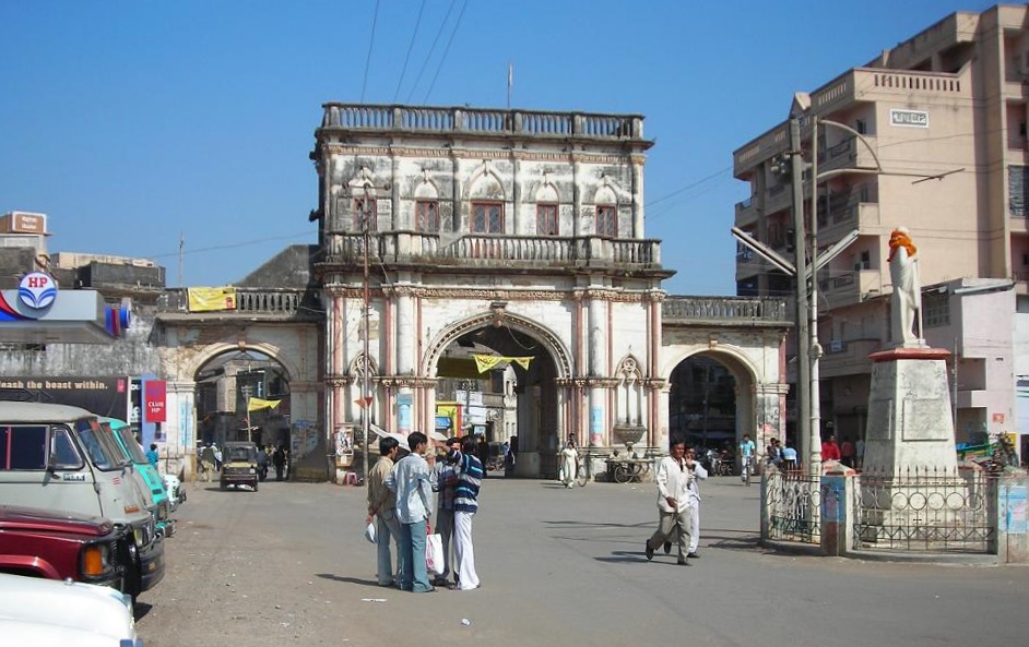
Dhoraji () is a town situated on the banks of the River Safura, a tributary of the River Bhadar. It is a municipality in the Rajkot district in the state of Gujarat, India.
From the Wikipedia article Dhoraji (this version), under CC BY-SA 4.0.
Healthcare8


History
Dhoraji was acquired by Kumbhaji II of Gondal State from Junagadh State about the middle of the eighteenth century. Bhagwatsinhji, the noble ruler of Gondal State, was born at Dhoraji Darbargadh. In the late 19th century, he introduced town planning principles to regularize and monitor the growth of the town and established a town planning department.
The new neighbourhoods between the railway station and the old town are an example of urban planning during the British India. After the arrival of railway in the town, the new town was designed with axial planning, road circles, parks, public amenities, markets and broad avenues.
From the History section of Dhoraji on Wikipedia, under CC BY-SA 4.0.
Map of Dhoraji
8 places. The map loads OpenStreetMap tiles when you open it.
Getting there and nearby towns
Keshod (IXK) is the nearest airport with scheduled flights listed in OpenStreetMap, 50 km away.
- Jetalsar 13 km east, about 13 min by car
- Upleta 17 km west, about 17 min by car
- Jetpur 18 km east, about 18 min by car
- Jūnāgadh 24 km south, about 24 min by car
- Bhāyāvadar 25 km northwest, about 25 min by car
- Vanthli 31 km southwest, about 31 min by car
- Dungarpur 32 km south, about 32 min by car
- Bilkha 36 km southeast, about 36 min by car
- Gondal 44 km northeast, about 44 min by car
- Rājkot 71 km northeast, about 1 h 15 min by car
Drive times are estimates from straight-line distance, not routes.
Local news
Headlines from INDB.
Reviews, tips and questions
Loading what members have shared...
Sources and licences
- GeoNames (CC BY 4.0): population, coordinates, regions and time zone
- OpenStreetMap contributors (ODbL 1.0): places, airports, map data
- Wikidata (CC0 1.0): elevation, founding date, time zone, website
- Wikimedia Commons (see each image): photos
- Wikipedia (CC BY-SA 4.0): overview and history text
Photo credits
- Dhoraji-2, Nasir881, Public domain
- About To Take Off, Parth Dudhaiya, CC BY-SA 3.0
- Pleasant Day, Parth Dudhaiya, CC BY-SA 3.0
Page built November 3, 2026. Spotted a mistake? Tell us or suggest a place.