




Why visit Dhrāngadhra
Townapedia lists 2 places to stay in and around town.
Weather in Dhrāngadhra
Forecast from MET Norway (CC BY 4.0). Full forecast
About Dhrāngadhra
Dhrangadhra () is a town, taluka headquarters and a municipality in Surendranagar district in the state of Gujarat, India. During the period of the British Raj, the city was the capital of Dhrangadhra State, one of the eight first-class princely states (13-gun salute) of the Kathiawar Agency in the Bombay Presidency.
From the Wikipedia article Dhrangadhra (this version), under CC BY-SA 4.0.
Where to stay2

Shopping1

SAAJAN BRAND HUB
Grocery
Ashirwad Complete, navyug Road, Dhrangdhra State Highway 7, Dhrangadhra
Mo-Su 10:00-21:00
Schools, colleges and libraries2

Healthcare16


4 more on the map.
History
Dhrangadhra has a long history, starting from the Lower Paleolithic period. The river named Falku passes from Dhrangadhra town. The evidence is from the river bed of the Bhadar river which flows along the Dhragadhra taluka. Moreover, there are many Harappan-period sites. Recent studies in the area suggest that the Dhragadhra and Halvad taluka were the frontiers of the so-called sorat Harappans which bifurcates the Sidhi Harrapans of Kutch & Sindh.
Dhrangadhra has a long history, starting from the Lower Paleolithic period. The river named Falku passes from Dhrangadhra town. The evidence is from the river bed of the Bhadar river which flows along the Dhragadhra taluka. Moreover, there are many Harappan-period sites. Recent studies in the area suggest that the Dhragadhra and Halvad taluka were the frontiers of the so-called sorat Harappans which bifurcates the Sidhi Harrapans of Kutch & Sindh.
From the History section of Dhrangadhra on Wikipedia, under CC BY-SA 4.0.
Map of Dhrāngadhra
21 places. The map loads OpenStreetMap tiles when you open it.
Getting there and nearby towns
Rajkot International Airport (HSR) is the nearest airport with scheduled flights listed in OpenStreetMap, 81 km away.
- Halvad 30 km west, about 30 min by car
- Kharaghoda 34 km northeast, about 34 min by car
- Surendranagar 35 km southeast, about 35 min by car
- Lakhtar 36 km southeast, about 36 min by car
- Patdi 40 km northeast, about 40 min by car
- Sāyla 49 km south, about 49 min by car
- Thān 54 km southwest, about 54 min by car
- Māndal 57 km northeast, about 57 min by car
- Limbdi 59 km southeast, about 59 min by car
- Viramgām 61 km east, about 1 h by car
Drive times are estimates from straight-line distance, not routes.
Local news
Headlines from INDB.
Reviews, tips and questions
Loading what members have shared...
Sources and licences
- GeoNames (CC BY 4.0): population, coordinates, regions and time zone
- OpenStreetMap contributors (ODbL 1.0): places, airports, map data
- Wikidata (CC0 1.0): elevation, founding date, time zone, website
- Wikimedia Commons (see each image): photos
- Wikipedia (CC BY-SA 4.0): overview and history text
Photo credits
- A Rose-ringed Parakeet Psittacula krameri in Gujarat India (2), Shanthanu Bhardwaj, CC BY-SA 2.0
- Black Drongo (3226632237), Shanthanu Bhardwaj, CC BY-SA 2.0
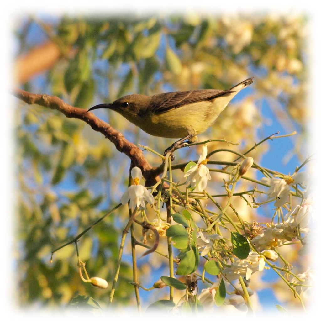
- A Purple Sunbird Cinnyris Asiaticus Female in Gujarat India, Shanthanu Bhardwaj, CC BY-SA 2.0
- Coracina macei 2, Shanthanu Bhardwaj, CC BY-SA 2.0
- A Purple Sunbird Cinnyris Asiaticus Male in Gujarat India, Shanthanu Bhardwaj, CC BY-SA 2.0
- A Rose-ringed Parakeet Psittacula krameri in Gujarat India, Shanthanu Bhardwaj, CC BY-SA 2.0
- Coracina macei 4 (cropped), Shanthanu Bhardwaj, CC BY-SA 2.0
- Coracina macei 4, Shanthanu Bhardwaj, CC BY-SA 2.0
- Corvus splendens flight Dhrangadrha, Shanthanu Bhardwaj, CC BY-SA 2.0
- Corvus splendens perched Dhrangadhra, Shanthanu Bhardwaj, CC BY-SA 2.0
- Black-winged Stilt in Gujarat India, Shanthanu Bhardwaj, CC BY-SA 2.0
- A wood sandpiper in Gujarat India, Shanthanu Bhardwaj, CC BY-SA 2.0


Page built November 3, 2026. Spotted a mistake? Tell us or suggest a place.