


Why visit Kaithal
Townapedia lists 1 park or trail and 2 places to eat in and around town.
Weather in Kaithal
Forecast from MET Norway (CC BY 4.0). Full forecast
About Kaithal
Kaithal (Hindi: [kɛːt̪ʰl]) is a city and municipal council in the Kaithal district of the Indian state of Haryana. Kaithal was previously a part of Karnal district and later, Kurukshetra district until 1 November 1989, when it became the headquarters of Kaithal. It shares a border with the Patiala district of state Punjab and the Kurukshetra, Jind and Karnal districts of Haryana. Kaithal district is situated in the North-West of the Haryana state.
From the Wikipedia article Kaithal (this version), under CC BY-SA 4.0.
Travel tips from other travellers: Kaithal on Wikivoyage (CC BY-SA 4.0).
Parks, trails and playgrounds1

Restaurants and cafes2


Churches and places of worship3

Neem Sahib Gurudwara
Place of worship · 1.3 km
Near Vishwakarma Filling Station, Kaithal, Haryana
Schools, colleges and libraries1

Healthcare55
Map of Kaithal
62 places. The map loads OpenStreetMap tiles when you open it.
Getting there and nearby towns
Hisar Airport (HSS) is the nearest airport with scheduled flights listed in OpenStreetMap, 93 km away.
- Pūndri 16 km east, about 16 min by car
- Kalāyat 20 km southwest, about 20 min by car
- Pehowa 26 km northeast, about 26 min by car
- Chīka 28 km north, about 28 min by car
- Pakhi Khanauri 28 km west, about 28 min by car
- Narwāna 35 km southwest, about 35 min by car
- Āsandh 37 km southeast, about 37 min by car
- Nīsang 36 km east, about 36 min by car
- Thānesar 46 km northeast, about 46 min by car
- Panipat 72 km southeast, about 1 h 15 min by car
Drive times are estimates from straight-line distance, not routes.
Local news
Headlines from INDB.
Reviews, tips and questions
Loading what members have shared...
Sources and licences
- GeoNames (CC BY 4.0): population, coordinates, regions and time zone
- OpenStreetMap contributors (ODbL 1.0): places, airports, map data
- Wikidata (CC0 1.0): elevation, founding date, time zone, website
- Wikimedia Commons (see each image): photos
- Wikipedia (CC BY-SA 4.0): overview and history text
Photo credits
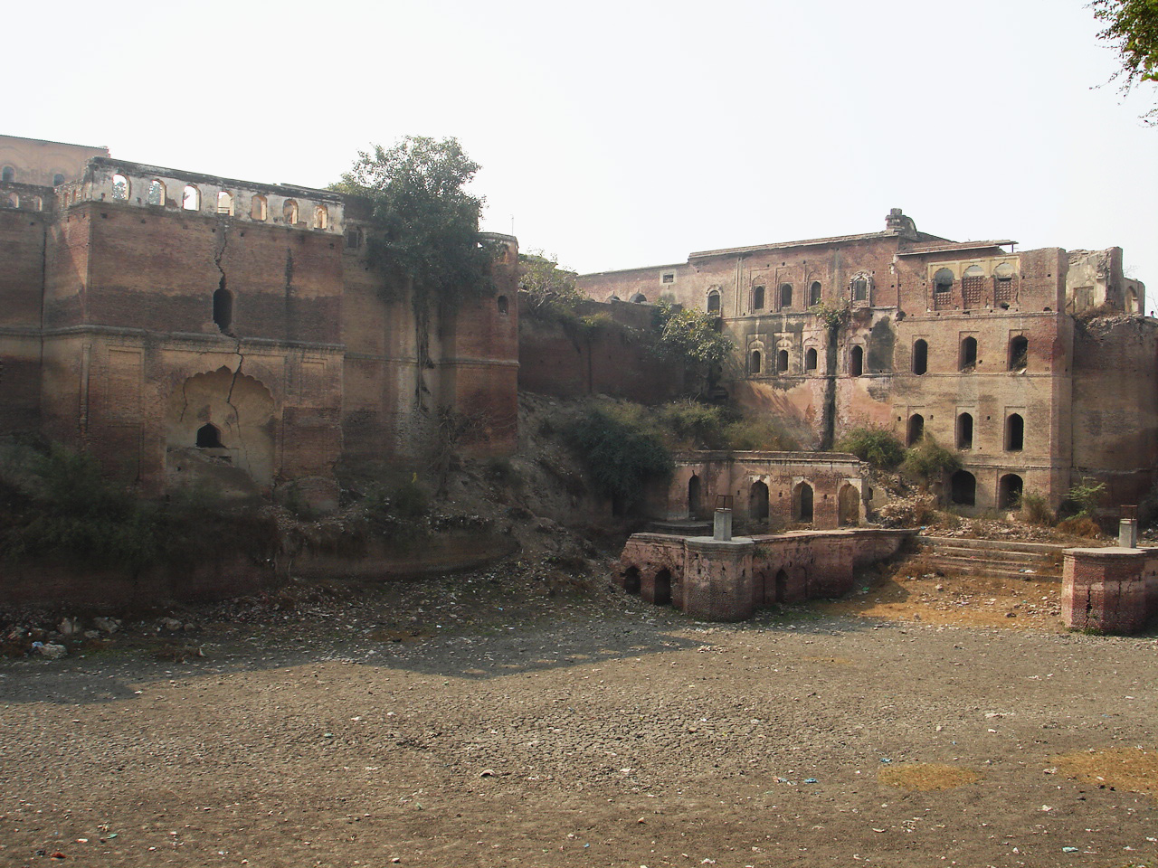
- Ruins of Kaithal fortress, Haryana, BOMBMAN, CC BY 2.0
- Short history engraved at gate of Kaithal Fort, Manojkhurana, CC BY-SA 3.0
- Kaithal Fort in 2016 - 1, Manojkhurana, CC BY-SA 3.0
- Kaithal Fort in 2016 - 2, Manojkhurana, CC BY-SA 3.0
- Shaheed Vikas Bhardwaj Memorial, Kaithal, Manojkhurana, CC BY-SA 3.0
- Guru Teg Bahadur Chowk, Kaithal - 1, Manojkhurana, CC BY-SA 3.0
- Pehowa Chowk, Kaithal, Manojkhurana, CC BY-SA 3.0
- Chotu Ram Chowk, Kaithal, Manojkhurana, CC BY-SA 3.0
- Kaithal Railway Station, Manojkhurana, CC BY-SA 3.0
- Kaithal Railway Station 2, Manojkhurana, CC BY-SA 3.0


Page built November 2, 2026. Spotted a mistake? Tell us or suggest a place.