
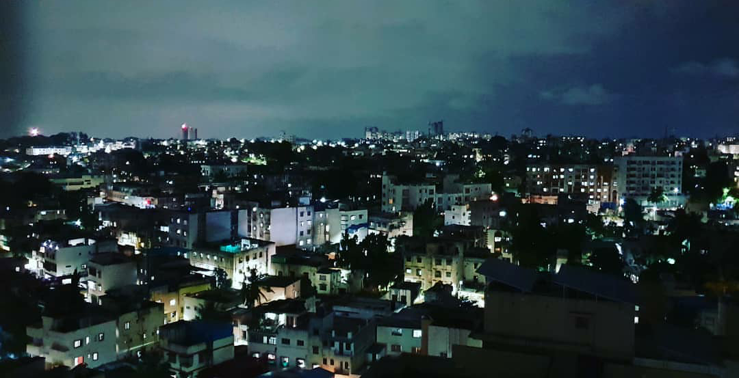


Why visit Kathua
Townapedia lists 4 parks and trails in and around town.
Highlights include K. K. Birla Park and Joggers Park.
Weather in Kathua
Forecast from MET Norway (CC BY 4.0). Full forecast
About Kathua
Kathua is a city and municipal council of the Jammu division of Indian-administered Jammu and Kashmir in the disputed Kashmir region. The city is the headquarters of Kathua district and is divided into 27 wards which constitute the Kathua Municipal Council. It is situated along NH-44. The city has a bustling industrial area and an army cantonment adjoining it.
From the Wikipedia article Kathua (this version), under CC BY-SA 4.0.
Parks, trails and playgrounds4

Churches and places of worship1

Narsingh Mandir
Place of worship · 3.6 km
gate no 7 Narsingh Mandir, Govindsar village
Shopping1

Schools, colleges and libraries1

Healthcare9
Map of Kathua
16 places. The map loads OpenStreetMap tiles when you open it.
Getting there and nearby towns
Pathankot Air Force Station (IXP) is the nearest airport with scheduled flights listed in OpenStreetMap, 17 km away.
- Lakhanpur 7 km east, about 7 min by car
- Thariāl 8 km east, about 8 min by car
- Parol 9 km west, about 9 min by car
- Sujānpur 10 km southeast, about 10 min by car
- Narot Mehra 12 km south, about 12 min by car
- Malakpur 12 km southeast, about 12 min by car
- Sarna 13 km southeast, about 13 min by car
- Pathānkot 16 km southeast, about 16 min by car
- Jammu 74 km northwest, about 1 h 15 min by car
- Mcleodganj 77 km east, about 1 h 15 min by car
Drive times are estimates from straight-line distance, not routes.
Local news
Headlines from INDB.
Reviews, tips and questions
Loading what members have shared...
Sources and licences
- GeoNames (CC BY 4.0): population, coordinates, regions and time zone
- OpenStreetMap contributors (ODbL 1.0): places, airports, map data
- Wikidata (CC0 1.0): elevation, founding date, time zone, website, landmarks and historic places
- Wikimedia Commons (see each image): photos
- Wikipedia (CC BY-SA 4.0): overview and history text
Photo credits
- Kathua skyline, Shubham22, CC BY-SA 4.0
- Garden KK Birla Kathua, RIDHVAN SHARMA, CC BY-SA 4.0
Page built November 3, 2026. Spotted a mistake? Tell us or suggest a place.