


Why visit Nāmakkal
Townapedia lists 1 museum or landmark, 2 parks and trails, 3 places to eat, 6 places to stay and 4 attractions in and around town.
Highlights include Namakkal Rockfort.
Weather in Nāmakkal
Forecast from MET Norway (CC BY 4.0). Full forecast
About Nāmakkal
Namakkal (Tamil: [nɑːməkkəl]) is a city and the headquarters of Namakkal district, Tamil Nadu. It is the first ISO 14001-2004 certified municipality in Asia for environmental management, specifically the provision and maintenance of water supply, solid waste and sewage management, town planning, lighting and other social services. Namakkal is known as the Egg City due to its large egg production, and as Transport City.
From the Wikipedia article Namakkal (this version), under CC BY-SA 4.0.
Travel tips from other travellers: Nāmakkal on Wikivoyage (CC BY-SA 4.0).
Things to do4


Museums and landmarks1


Parks, trails and playgrounds2

Restaurants and cafes3

History
Namakkal is a historic city with references back to at least the 6th century. The name Namakkal derives from Namagiri, which is the name of the single rock formation at the center of the town dedicated to Lord Vishnu. The rock is 65 meters high and over a kilometre in circumference.
From the History section of Namakkal on Wikipedia, under CC BY-SA 4.0.
Where to stay6
Churches and places of worship7
Shopping3
Schools, colleges and libraries16
Healthcare78
Map of Nāmakkal
120 places. The map loads OpenStreetMap tiles when you open it.
Getting there and nearby towns
Salem Airport (SXV) is the nearest airport with scheduled flights listed in OpenStreetMap, 63 km away.
- Kusavampatti 2 km east, about 2 min by car
- Kondichettippatti 2 km south, about 2 min by car
- Periyapatti 2 km southwest, about 2 min by car
- Nallippālaiyam 3 km northwest, about 3 min by car
- Chinnamudalippatti 3 km northeast, about 3 min by car
- Rasipuram 27 km north, about 27 min by car
- Salem 48 km north, about 48 min by car
- Erode 50 km west, about 50 min by car
- Yercaud 62 km north, about 1 h by car
- Tiruchirappalli 73 km southeast, about 1 h 15 min by car
Drive times are estimates from straight-line distance, not routes.
Local news
Headlines from INDB.
Reviews, tips and questions
Loading what members have shared...
Sources and licences
- GeoNames (CC BY 4.0): population, coordinates, regions and time zone
- OpenStreetMap contributors (ODbL 1.0): places, airports, map data
- Wikidata (CC0 1.0): elevation, founding date, time zone, website
- Wikimedia Commons (see each image): photos
- Wikipedia (CC BY-SA 4.0): overview and history text
Photo credits
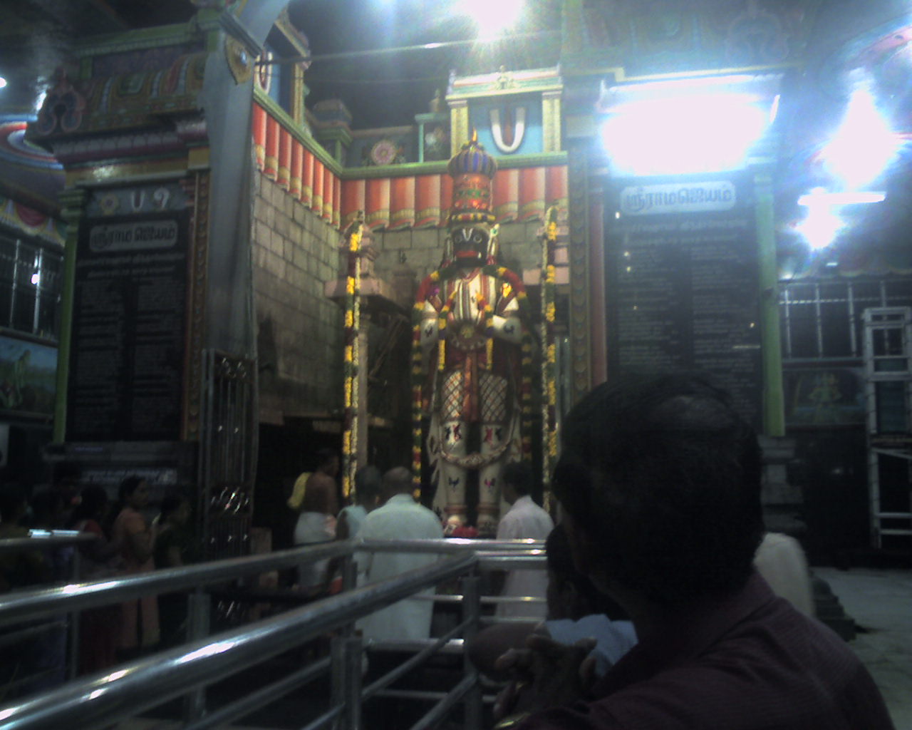
- Anjaneyar Temple, Namakkal, Booradleyp, CC BY-SA 3.0
- Namakkal Fort (3), Ssriram mt, CC BY-SA 4.0
- Namakkal Fort (2), Ssriram mt, CC BY-SA 4.0
- Namakkal view from hillock fort, Vijayganesh.s1996, CC BY-SA 4.0
- Namakkal Fort 3, Gowtham Sampath, CC BY-SA 4.0
- Islamic tomb at Namakkal Hill Fort, Jagadeeswarann99, CC BY 4.0
- Islamic tomb at Namakkal HillFort, Jagadeeswarann99, CC BY 4.0
- Sri Narasimha swamy sannadi, Treeman1957, CC BY-SA 4.0
- Inner temple view, Treeman1957, CC BY-SA 4.0
- Lakshimi Narayana swamy sannadhis, Treeman1957, CC BY-SA 4.0
- Lord Narasimhamurti, Treeman1957, CC BY-SA 4.0
- A Group of Mandapas, Treeman1957, CC BY-SA 4.0
- Sri Lakshimi Narayana swamy sannadhi, Treeman1957, CC BY-SA 4.0
- Sculpture of a horseman, Namakkal Narasimhar Temple, Jagadeeswarann99, CC BY 4.0
- Nagar sannadhi, Treeman1957, CC BY-SA 4.0
- Muka mandapa, Treeman1957, CC BY-SA 4.0
- Inside Temple Entrance near Mukamandapa, Treeman1957, CC BY-SA 4.0
- Entrance side wall, Treeman1957, CC BY-SA 4.0
- A demi goddess on entrance, Treeman1957, CC BY-SA 4.0
- Thayyar sannadhi, Treeman1957, CC BY-SA 4.0
- Celestial demi woman god, Treeman1957, CC BY-SA 4.0
- Wall Carving near entrance, Treeman1957, CC BY-SA 4.0
- Thayyar urchavam, Treeman1957, CC BY-SA 4.0
- Four Pillared Mandapa, Treeman1957, CC BY-SA 4.0
- Bramini Kite bird flying overhead, Treeman1957, CC BY-SA 4.0
- Unfinished entrance tower, Treeman1957, CC BY-SA 4.0
- நாமக்கல் மலைக்கோட்டை, Nklsasi, CC BY-SA 4.0
- Namakkal Bus Stand, Gowtham Sampath, CC BY-SA 4.0
- கலையரங்கம், TNSEMOORTHY A NKL, CC BY-SA 4.0
- The veins of lightning, Vijaya2998kumar, CC BY-SA 4.0
- “Wired Skies”, JaywanthPranav, CC BY-SA 4.0
- Bharat Petroleum Fuel Filling Station Namakkal (Elumalaiyan Transport), Athulvis, CC BY-SA 4.0
- View of sunset from my home, Vijaya2998kumar, CC BY-SA 4.0
- Kondichettipatti, Athulvis, CC BY-SA 4.0


Page built November 3, 2026. Spotted a mistake? Tell us or suggest a place.