
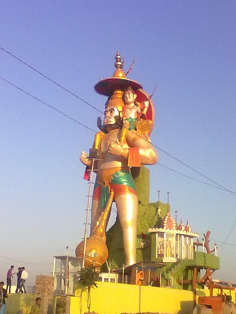

Why visit Pāli
Townapedia lists 1 museum or landmark, 7 parks and trails, 30 places to eat, 6 places to stay and 1 attraction in and around town.
Highlights include National Park.
Weather in Pāli
Forecast from MET Norway (CC BY 4.0). Full forecast
About Pāli
Pali is a city and capital division in Pali district in Indian state of Rajasthan. It is the administrative headquarters of Pali district. It is on the banks of the river Bandi and is 70 km (43 mi) south east of Jodhpur.
From the Wikipedia article Pali, Rajasthan (this version), under CC BY-SA 4.0.
Travel tips from other travellers: Pāli on Wikivoyage (CC BY-SA 4.0).
Things to do1

Museums and landmarks1

Parks, trails and playgrounds7


Restaurants and cafes30




18 more on the map.
History
Pali (formerly known as Pallika and Palli) was a trade centre. In the 11th century AD, Pali was ruled by the Guhilas of Mewar. In the 12th century it became a part of the Nadol kingdom and was ruled by the Chauhans. In 1153 AD it was ruled by Kumarapala and his feudatory Vahadadeva. Then it came under possession of the Songara Chauhans of Jalore.
The Rathore dynasty chronicles relate that Siyaji or Sheoji, grandson of Chandra, the last Gahadvala Rathore ruler of Kannauj, came to Marwar on a pilgrimage to Dwarka in Gujarat, and on halting at the town of Pali, he and his followers settled there to fight against the raids of marauding bands and foreign invaders. Rajputs and Paliwal Brahmins fought bravely against Feroz Shah in the 13th century but couldn't resist his large army. His devali with the inscription of 1273 AD was discovered 21 km north west of Pali.
From the History section of Pali, Rajasthan on Wikipedia, under CC BY-SA 4.0.
Where to stay6
Churches and places of worship13
Shopping6
Gas and EV charging4
Schools, colleges and libraries8
Healthcare24
Map of Pāli
100 places. The map loads OpenStreetMap tiles when you open it.
Getting there and nearby towns
Jodhpur Airbase (JDH) is the nearest airport with scheduled flights listed in OpenStreetMap, 60 km away.
- Marwar Junction 29 km east, about 29 min by car
- Sojat 38 km northeast, about 38 min by car
- Siāt 43 km east, about 43 min by car
- Rāni 47 km south, about 47 min by car
- Keru 54 km northwest, about 54 min by car
- Sāngaria 55 km northwest, about 55 min by car
- Fālna 57 km south, about 57 min by car
- Bilāra 59 km northeast, about 59 min by car
- Takhatgarh 59 km southwest, about 59 min by car
- Jodhpur 64 km northwest, about 1 h by car
Drive times are estimates from straight-line distance, not routes.
Local news
Headlines from INDB.
Reviews, tips and questions
Loading what members have shared...
Sources and licences
- GeoNames (CC BY 4.0): population, coordinates, regions and time zone
- OpenStreetMap contributors (ODbL 1.0): places, airports, map data
- Wikidata (CC0 1.0): elevation, founding date, time zone, website
- Wikimedia Commons (see each image): photos
- Wikipedia (CC BY-SA 4.0): overview and history text
Photo credits
- Pali rajasthan, Mohmmad, CC BY-SA 4.0
Page built November 2, 2026. Spotted a mistake? Tell us or suggest a place.