



Why visit Sakleshpur
Townapedia lists 6 places to eat and 1 place to stay in and around town.
Weather in Sakleshpur
Forecast from MET Norway (CC BY 4.0). Full forecast
About Sakleshpur
Sakleshpur or Sakaleshapura, is a town and the taluk in Hassan district in the state of Karnataka, India. The town is located on the banks of Hemavati River and it lies in the foot-hills of the Western Ghats range. The distance from Hassan city to Sakleshpur is approximately 39 km.
From the Wikipedia article Sakleshpur (this version), under CC BY-SA 4.0.
Travel tips from other travellers: Sakleshpur on Wikivoyage (CC BY-SA 4.0).
Restaurants and cafes6

Where to stay1

Churches and places of worship3

Schools, colleges and libraries2

Healthcare4
Map of Sakleshpur
16 places. The map loads OpenStreetMap tiles when you open it.
Getting there and nearby towns
Mangalore International Airport (IXE) is the nearest airport with scheduled flights listed in OpenStreetMap, 98 km away.
- Kodlipet 19 km southeast, about 19 min by car
- Alūr 23 km east, about 23 min by car
- Belūr 26 km north, about 26 min by car
- Mudgere 26 km northwest, about 26 min by car
- Sanivārsante 26 km southeast, about 26 min by car
- Hassan 35 km east, about 35 min by car
- Konaje 34 km southwest, about 34 min by car
- Gorūr 33 km southeast, about 33 min by car
- Arkalgūd 36 km southeast, about 36 min by car
- Chikmagalūr 42 km north, about 42 min by car
Drive times are estimates from straight-line distance, not routes.
Local news
Headlines from INDB.
Reviews, tips and questions
Loading what members have shared...
Sources and licences
- GeoNames (CC BY 4.0): population, coordinates, regions and time zone
- OpenStreetMap contributors (ODbL 1.0): places, airports, map data
- Wikidata (CC0 1.0): elevation, founding date, time zone, website
- Wikimedia Commons (see each image): photos
- Wikipedia (CC BY-SA 4.0): overview and history text
Photo credits
- Vet hospital Sakleshpur 20220312 123102, Shyamal L., CC BY-SA 4.0
- Vet hospital Sakleshpur 20220312 123356, Shyamal L., CC BY-SA 4.0
- Vet hospital Sakleshpur 20220312 123354, Shyamal L., CC BY-SA 4.0
- Veteriinary hospital Sakleshpur, Shyamal, CC BY-SA 4.0
- Vet hospital Sakleshpur 20220312 123225, Shyamal L., CC BY-SA 4.0
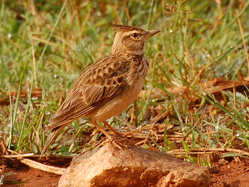
- Malabar lark (Galerida malabarica) Sakleshpur India Oct 2008 sideview, Nanda ramesh, CC BY-SA 3.0
- Bud, Lasya Jagirdhar, CC BY-SA 3.0
- Crawford hospital 4, Shyamal, CC BY-SA 4.0
- Crawford hospital 2, Shyamal, CC BY-SA 4.0
- Crawford hospital 3, Shyamal, CC BY-SA 4.0
- Crawford hospital, Shyamal, CC BY-SA 4.0
- My peaceful home, Rubypriscilla77, CC BY-SA 4.0
- Nature home, Rubypriscilla77, CC BY-SA 4.0


Page built November 3, 2026. Spotted a mistake? Tell us or suggest a place.