
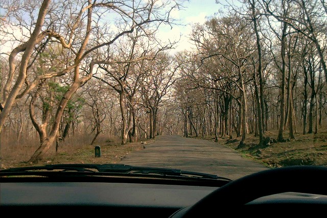

Why visit Sathyamangalam
Townapedia lists 1 place to eat in and around town.
Weather in Sathyamangalam
Forecast from MET Norway (CC BY 4.0). Full forecast
About Sathyamangalam
Sathyamangalam (also known as Sathy) is a town and municipality in Erode district in the Indian state of Tamil Nadu. It lies on the banks of the Bhavani River, a tributary of the Kaveri straddling the Eastern and Western Ghats. It is the headquarters of Sathyamangalam taluk. It is located about 65 km (40 mi) from the district headquarters Erode.
From the Wikipedia article Sathyamangalam (this version), under CC BY-SA 4.0.
Restaurants and cafes1

Churches and places of worship1

Schools, colleges and libraries3

Healthcare10


History
The region was ruled by the Cheras and Vijayanagara Empire. It was captured by Tipu Sultan and after Tipu's defeat, British annexed it to their territory.
From the History section of Sathyamangalam on Wikipedia, under CC BY-SA 4.0.
Map of Sathyamangalam
15 places. The map loads OpenStreetMap tiles when you open it.
Getting there and nearby towns
Coimbatore International Airport (CJB) is the nearest airport with scheduled flights listed in OpenStreetMap, 57 km away.
- Kumārapālaiyam 2 km east, about 2 min by car
- Periyakoduveri 7 km southeast, about 7 min by car
- Kempanāyakkanpālaiyam 7 km northeast, about 7 min by car
- Kāsipālaiyam 12 km southeast, about 12 min by car
- Bhavanisagar 12 km west, about 12 min by car
- Kovilpālaiyampūdur 14 km east, about 14 min by car
- Elattūr 15 km southeast, about 15 min by car
- Erode 56 km east, about 56 min by car
- Ooty 60 km west, about 1 h by car
- Coimbatore 63 km southwest, about 1 h by car
Drive times are estimates from straight-line distance, not routes.
Local news
Headlines from INDB.
Reviews, tips and questions
Loading what members have shared...
Sources and licences
- GeoNames (CC BY 4.0): population, coordinates, regions and time zone
- OpenStreetMap contributors (ODbL 1.0): places, airports, map data
- Wikidata (CC0 1.0): elevation, founding date, time zone, website
- Wikimedia Commons (see each image): photos
- Wikipedia (CC BY-SA 4.0): overview and history text
Photo credits
- SathyamangalamForest, Suniltg at English Wikipedia, CC BY-SA 3.0
Page built November 3, 2026. Spotted a mistake? Tell us or suggest a place.