


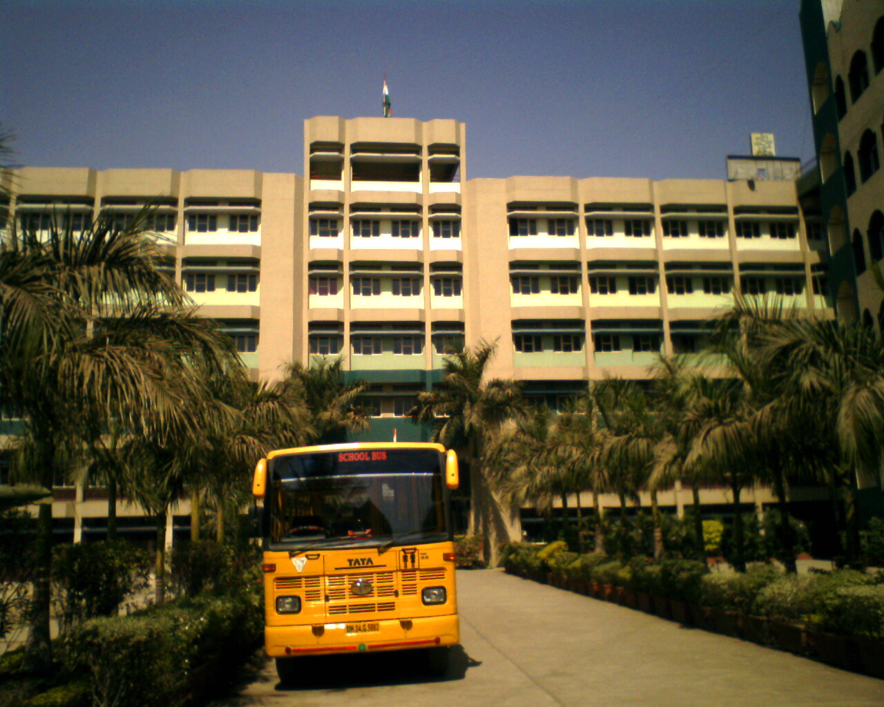


Why visit Thāne
Townapedia lists 12 museums and landmarks, 68 parks and trails, 113 places to eat, 9 places to stay and 18 attractions in and around town.
Highlights include Airoli Bridge, Indian Institute of Technology Bombay, KUCHBHI STUDIO and hospital ground.
Weather in Thāne
Forecast from MET Norway (CC BY 4.0). Full forecast
About Thāne
Thane (Marathi: [ˈʈʰaːɳeː]; known as Thana until 1996) is a city in western India, in the state of Maharashtra. It neighbours Mumbai and is part of the Mumbai Metropolitan Region. It is situated in the north-east of Salsette Island. It falls under the administration of Thane Municipal Corporation.
From the Wikipedia article Thane (this version), under CC BY-SA 4.0.
Travel tips from other travellers: Thāne on Wikivoyage (CC BY-SA 4.0).
Things to do18
Indian Institute of Technology Bombay
School · 8.6 km
Public engineering institution located in Powai, Mumbai

Indira Gandhi Institute of Development Research
School · 9.6 km
Educational institution in India


KidZania Mumbai
Monument and historic site · 12.0 km
Indoor theme park
Royal College of Science, Arts and Commerce
School · 12.7 km
College in Mumbai, Maharashtra
Tikuji-Ni-Wadi
Monument and historic site · 4.5 km
Amusement park in Maharashtra, India

Mahakavi Kalidas Natya Mandir
Cinema and theater · 3.0 km
Purushottam Kheraj Road, Mulund(West)
6 more on the map.
Museums and landmarks12

KUCHBHI STUDIO
Museum · 1.1 km
Art , design , printmaking studio
ROOM 202 KRISHNA HERITAGE BUILDING opposite GANESH CINEMA, Charai, Thane West Arvind Dikshit Rd, Thane
Mo-Su 10:00-18:00
Hariniwas Circle
Monument and historic site · 0.8 km
Harinivas Circle, Thane (West)
Parks, trails and playgrounds68



Sanjay Gandhi National Park
Park · 7.7 km
National park in Mumbai, India
Green Park
Park · 1.3 km
123 Gokhale Road, Thane
Mo-Su 09:00-21:00


Sangeetkar Shrinivas Khale udyan
Park · 2.8 km
2 Upvan Lake Road, THANE
Mon-Sun 05:15-21:15
56 more on the map.
Restaurants and cafes113

Family Tree
Restaurant · Chinese, Indian, Mexican
Family Tree MadanLal Dhingra Road, Thane
Mo-Su 10:00-22:00
Poptate's
Restaurant · Regional · 0.7 km
Samata Nagar eastern express way, Thane (West)
Mo-Su 11:30-1:00
Achija
Restaurant · Indian · 1.0 km
Shop no 1, Laxmi Nivas Deshpande Rd, Thane
Mo-Su 11:00-00:15
Bhavani Farsan and Sweet Mart
Restaurant · Indian, Regional · 2.1 km
Bal Rajeshwar Marg, Mulund (West)
08:00-22:00

Cafe Coffee Day
Cafe · Coffee Shop · 1.8 km
123 Ganesh Purushottam Rd, Thane
Mo-Su 09:00-21:00
Maitri Restaurent & Bar
Restaurant · Regional, Indian, Seafood · 1.8 km
Shop No 6,7,8, East SATIS Road, Thane
11:00-23:00
Patel Coffee House
Cafe · Coffee Shop · 1.8 km
123 Fataka Galli, Thane
Mo-Su 09:00-21:00
Shiv Sagar Veg. Restaurant
Restaurant · Indian, Chinese, Dessert · 1.6 km
Gokhale Road, Thane
Mo-Su 07:00-23:54
Thane Cafe
Cafe · Italian, Pizza · 0.9 km
123 Gadkari Road, Thane
Mo-Su 09:00-21:00
eat and eat
Restaurant · Burger, Pizza, Chicken, American, Italian, Chinese, Sandwich, Mexican, Tex-Mex, German, Japanese, Indian, Seafood, Steak House, French, Asian, Fish And Chips, Ice Cream, Kebab, Greek, Sushi, Barbecue, Thai, Regional, Coffee Shop
Pipeline Rd, Thane
Mo-Sa 08:00-20:00
Cafe Coffee Day
Cafe · Coffee Shop · 3.0 km
12 Ganesh Gawde Road, mumbai
Mo-Su 09:00-21:00
101 more on the map.
History
Thane emerged as an urban area during the reign of the Shilahara dynasty, which ruled north Konkan during 800-1265 CE. It was variously known as Srī-sthānaka, Sthānaka, or Srī-sthāna. The 1053 CE Chinchani inscription of Vija-ranaka of the Modha family states that brahmanas from Srī-sthāna settled at Samyana in his territory. A 1094 CE Shilahara inscription refers to Srī-sthānaka as a velakula, that is, a harbour that was an important centre for import and export.
From the History section of Thane on Wikipedia, under CC BY-SA 4.0.
Where to stay9
Churches and places of worship76
Our Lady of Immaculate Conception Church, Mt. Poinsur
Church · 12.7 km
Bhakt Kalyan Ganpati Mandir
Place of worship · Hindu · 2.8 km
Upvan Lake Road, Thane (West)
Balrajeshwar Mahadev Prasanna Mandir
Place of worship · 2.1 km
LBS Marg, Mulund (West)
Shopping36
Lake Shore Mall
Shopping center · 1.6 km
Eastern Express Highway, Thane
Gas and EV charging5
Schools, colleges and libraries54
Dayanand High School & Junior College
School · 2.7 km
Lala Devidayal Road, Mulund (West)
Lohana Kanya Shala School
School · 2.5 km
Subhash Chandra Bose Road, Mulund (West)
Mulund College of Commerce - MCC
School · 2.5 km
Mulund Court Road, Mulund (West)
Healthcare175
OrthoSpine Clinic
Clinic and pharmacy · 1.4 km
Godbole Hospital M. G. Road, Naupada, Shivaji Nagar, Thane West -Maharashtra, India
Map of Thāne
250 places. The map loads OpenStreetMap tiles when you open it.
Getting there and nearby towns
Chhatrapati Shivaji Maharaj International Airport (BOM) is the nearest airport with scheduled flights listed in OpenStreetMap, 16 km away.
- Airoli 6 km southeast, about 6 min by car
- Kalher 8 km northeast, about 8 min by car
- Purne 10 km northeast, about 10 min by car
- Borivli 12 km west, about 12 min by car
- Powai 11 km southwest, about 11 min by car
- Rahanal 11 km northeast, about 11 min by car
- Dombivali 13 km east, about 13 min by car
- Mumbai 16 km southwest, about 16 min by car
- Kalyān 19 km east, about 19 min by car
- Virār 33 km northwest, about 33 min by car
Drive times are estimates from straight-line distance, not routes.
Local news
Headlines from INDB.
Reviews, tips and questions
Loading what members have shared...
Sources and licences
- GeoNames (CC BY 4.0): population, coordinates, regions and time zone
- OpenStreetMap contributors (ODbL 1.0): places, airports, map data
- Wikidata (CC0 1.0): elevation, founding date, time zone, website, landmarks and historic places
- Wikimedia Commons (see each image): photos
- Wikipedia (CC BY-SA 4.0): overview and history text
Photo credits
- View from 17 minutes' Yeoor walk (5676110302), Dinesh Valke from Thane, India, CC BY-SA 2.0
- Airoli bridge from the air, Maharashtra, India, User:Gaurav, CC BY 3.0
- IITBMainBuildingCROP, Arne Hückelheim, CC BY-SA 3.0
- The Building of Royal College, Mira Road, Virendrahonda, CC BY-SA 3.0
- Sanjay Gandhi National Park, Patrice78500, CC BY-SA 3.0
- Holy Trinity Church Powai, Tiven Gonsalves, CC BY-SA 4.0
- Ic church altar, GAGA / AlmiteyG at en.wikipedia, CC BY-SA 3.0
- SEEPZ church 4, Nicholas ( Nichalp ), CC BY-SA 3.0
- Dadoji Kondadev Stadium, Thane 2014, CBhat109, CC BY-SA 4.0
- KorumMallThane, KuwarOnline, CC BY-SA 3.0
- Dadoji Kondadev Stadium, Saurabh Shetty, CC BY 3.0
- Flora Trellis at the Grand Central Park, Thane, Kalpatarultd, CC0
- Panorama view of S. E. S. High School and Junior College, S. E. S. High School & Junior College, CC BY 4.0
- Evolvulus glomeratus 'Blue Daze' (452084892), Dinesh Valke from Thane, India, CC BY-SA 2.0
- Indian folk culture 172, AmanAgrahari01, CC BY-SA 4.0
- Zephyranthes grandiflora (506219927), Dinesh Valke from Thane, India, CC BY-SA 2.0
- Fairy lily (506219931), Dinesh Valke from Thane, India, CC BY-SA 2.0
- Khakra meets mexico, BKhushboo, CC BY-SA 4.0
- Desi Maggi, BKhushboo, CC BY-SA 4.0
- Paper Dosa, BKhushboo, CC BY-SA 4.0
- Sabudana wada, BKhushboo, CC BY-SA 4.0
- Dosa sides, BKhushboo, CC BY-SA 4.0
- Appe, BKhushboo, CC BY-SA 4.0
- Pav bhaaji, BKhushboo, CC BY-SA 4.0
- Lachcha paratha, BKhushboo, CC BY-SA 4.0
- Masala bun, BKhushboo, CC BY-SA 4.0
- Pav bhaji fondue, BKhushboo, CC BY-SA 4.0
- Tomato mayo fries, BKhushboo, CC BY-SA 4.0
- Chinese maggi, BKhushboo, CC BY-SA 4.0
- Roti bhindi, BKhushboo, CC BY-SA 4.0
- Cutlet, BKhushboo, CC BY-SA 4.0
- Delonix regia (Hook.) Raf. (486405819), Dinesh Valke from Thane, India, CC BY-SA 2.0
- Delonix regia (486405817), Dinesh Valke from Thane, India, CC BY-SA 2.0
- Kachrali Lake, Thaneboy at English Wikipedia, Public domain
- Chimboricha Kalvan, Nithajay, CC BY-SA 4.0
- Interior of the Starbucks outlet at Korum Mall, Thane, Chris Hoare, CC BY 2.0
- Samata Nagar, Thane West, Thane, Maharashtra 400606, India - panoramio, Udaykumar PR, CC BY 3.0
- Samata Nagar, Thane West, Thane, Maharashtra 400606, India - panoramio (2), Udaykumar PR, CC BY 3.0
- Samata Nagar, Thane West, Thane, Maharashtra 400606, India - panoramio (3), Udaykumar PR, CC BY 3.0
- Samata Nagar, Thane West, Thane, Maharashtra 400606, India - panoramio (1), Udaykumar PR, CC BY 3.0


Page built November 2, 2026. Spotted a mistake? Tell us or suggest a place.