




Marksville, Louisiana
Marksville is a city of 4,905 people in Avoyelles Parish, Louisiana, founded in 1794.
Why visit Marksville
Townapedia lists 5 museums and landmarks, 2 parks and trails, 2 places to eat and 1 attraction in and around town.
Highlights include Paragon Cinema, Fort DeRussy and Marksville Commercial Historic District.
August is the warmest month, with average highs of 93°F; January lows average 39°F.
Weather in Marksville
Forecast from the National Weather Service. Full forecast
About Marksville
Marksville is a small city in and the parish seat of Avoyelles Parish, Louisiana, United States. As of the 2020 census, Marksville had a population of 5,065.
From the Wikipedia article Marksville, Louisiana (this version), under CC BY-SA 4.0.
Things to do1

Museums and landmarks5
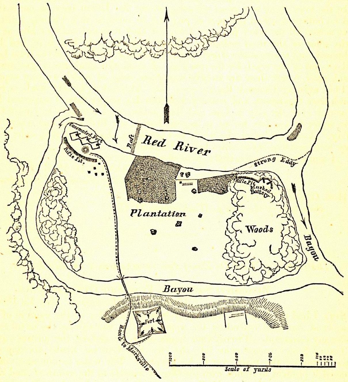
Fort DeRussy
Monument and historic site · National Register of Historic Places · 4.1 mi
Historic fort in Louisiana, USA

Marksville Commercial Historic District
Monument and historic site · National Register of Historic Places
Historic district in Marksville, Louisiana
Marksville Prehistoric Indian Site
Monument and historic site · National Register of Historic Places · 1.0 mi
Archaeological site near Marksville, Avoyelles Parish, Louisiana
Hypolite Bordelon House
Monument and historic site · National Register of Historic Places
Greenhouse Site
Monument and historic site · 2.1 mi
Archeological site
Parks, trails and playgrounds2


Restaurants and cafes2


History
The land where Marksville was founded on was once a meeting place, leading to the present day Marksville Prehistoric Indian Site.
Marksville is named after Marc Eliche (Marco Litche or Marco de Élitxe, as recorded by the Spanish), a Sephardic Jewish trader believed to be from Venice, who established a trading post after his wagon broke down in this area. His Italian name was recorded by a Spanish priest as Marco Litche; French priests, who were with colonists, recorded his name as Marc Eliche or Mark Eliché after his trading post was established about 1794. Marksville was noted on Louisiana maps as early as 1809, after the United States acquired the territory in the Louisiana Purchase of 1803. Eliche later donated the land that became the Courthouse Square in the center of Marksville.
Marksville's population has numerous families of Anglo Americans ancestry, in addition to African Americans, European Americans, and persons of mixed European-African ancestry. Many of the families had ancestors here since the city was incorporated.
From the History section of Marksville, Louisiana on Wikipedia, under CC BY-SA 4.0.
Churches and places of worship3
St. Paul Lutheran Church
Church · National Register of Historic Places · 2.8 mi
Holy Ghost Catholic Church
Church · Roman Catholic
121 South Preston Street, Marksville
Saint Joseph Catholic Church
Church · Roman Catholic
141 South Washington Street, Marksville
Shopping1
Gas and EV charging4
Schools, colleges and libraries6
Healthcare2
Map of Marksville
26 places. The map loads OpenStreetMap tiles when you open it.
Climate by month
Monthly table
| Month | High | Low | Rain | Snow |
|---|---|---|---|---|
| Jan | 60°F | 39°F | 6.8 in | 0.0 in |
| Feb | 64°F | 43°F | 5.3 in | 0.0 in |
| Mar | 72°F | 49°F | 4.7 in | 0.0 in |
| Apr | 79°F | 56°F | 5.9 in | 0.0 in |
| May | 86°F | 64°F | 5.0 in | 0.0 in |
| Jun | 91°F | 70°F | 4.9 in | 0.0 in |
| Jul | 93°F | 73°F | 4.1 in | 0.0 in |
| Aug | 93°F | 72°F | 4.7 in | 0.0 in |
| Sep | 89°F | 66°F | 4.5 in | 0.0 in |
| Oct | 81°F | 56°F | 4.8 in | 0.0 in |
| Nov | 70°F | 46°F | 5.5 in | 0.0 in |
| Dec | 62°F | 41°F | 5.5 in | 0.0 in |
U.S. Climate Normals 1991-2020 for Bunkie Hcn (13 mi away), NOAA NCEI.
People and cost of living
American Community Survey 5-year estimates, 2020-2024, U.S. Census Bureau. Estimates have margins of error, larger for small towns.
Disaster history
Avoyelles Parish has had 33 federal disaster declarations since 2000, most often for hurricanes.
- 2026-06-30: Tropical Storm Arthur (Tropical Storm)
- 2026-01-24: Severe Winter Storm (Winter Storm)
- 2024-09-10: Tropical Storm Francine (Hurricane)
- 2021-09-13: Tropical Storm Nicholas (Coastal Storm)
- 2021-08-29: Hurricane Ida (Hurricane)
- 2021-08-27: Tropical Storm Ida (Hurricane)
OpenFEMA disaster declarations summaries.
Getting there and nearby towns
Alexandria Esler Regional Airport (ESF) is the nearest airport with scheduled flights listed in OpenStreetMap, 23 miles away.
- Mansura 4 mi south, about 7 min by car
- Cottonport 9 mi south, about 15 min by car
- Bunkie 14 mi southwest, about 22 min by car
- Pineville 25 mi northwest, about 41 min by car
- Alexandria 27 mi northwest, about 43 min by car
- Ball 29 mi northwest, about 46 min by car
- Jonesville 37 mi north, about 59 min by car
- Jena 39 mi north, about 1 h by car
- Mamou 40 mi southwest, about 1 h by car
- Opelousas 42 mi south, about 1 h by car
Drive times are estimates from straight-line distance, not routes.
Local news
Headlines from INDB, the NEMICO news database.
Reviews, tips and questions
Loading what members have shared...
Sources and licences
- NCES EDGE (Public domain): public schools
- NOAA NCEI U.S. Climate Normals 1991-2020 (Public domain): climate by month
- OpenFEMA (Public domain): disaster declarations
- OpenStreetMap contributors (ODbL 1.0): places, airports, map data
- U.S. Census Bureau (Public domain): population, income, housing, education, commute
- Wikidata (CC0 1.0): elevation, founding date, time zone, website, landmarks and historic places
- Wikimedia Commons (see each image): photos
- Wikipedia (CC BY-SA 4.0): overview and history text
Photo credits
- Marksville District, Z28scrambler, CC BY-SA 4.0
- Marksville State Historic Site Burial Mound, J. Stephen Conn, CC BY 2.0
- St. Pauls Lutheran, Z28scrambler, CC BY-SA 4.0
- Fort-DeRussy-1863-05-09, U.S. Navy, Public domain
- Hypolite Bordelon, Z28scrambler, CC BY-SA 4.0
- Joffrion House, Z28scrambler, CC BY-SA 4.0
Page built October 30, 2026. Spotted a mistake? Tell us or suggest a place.