


McGehee, Arkansas
McGehee is a city of 3,666 people in Desha County, Arkansas, founded in 1878.
Why visit McGehee
Townapedia lists 12 museums and landmarks, 6 parks and trails and 1 place to stay in and around town.
Highlights include McGehee Post Office and Jay Lewis House.
July is the warmest month, with average highs of 91°F; January lows average 34°F.
Weather in McGehee
Forecast from the National Weather Service. Full forecast
About McGehee
McGehee mə-GHEE is a city in Desha County, Arkansas, United States. As of the 2020 census, McGehee had a population of 3,849.
From the Wikipedia article McGehee, Arkansas (this version), under CC BY-SA 4.0.
Museums and landmarks12

McGehee Post Office
Monument and historic site · National Register of Historic Places
Post office in McGehee, United States of America

Jay Lewis House
Monument and historic site · National Register of Historic Places · 1.0 mi
Historic house in Arkansas, United States
McGehee National Guard Armory
Monument and historic site · National Register of Historic Places · 1.2 mi
Arsenal in McGehee, Arkansas, United States

Missouri Pacific Railroad Depot-McGehee
Monument and historic site · National Register of Historic Places
Railway station in McGehee, the United States of America
Parnell-Sharpe House
Monument and historic site · National Register of Historic Places
Historic house in Arkansas, United States

Temple Meir Chayim
Monument and historic site · National Register of Historic Places
Historic former Reform synagogue in McGehee, Arkansas, US
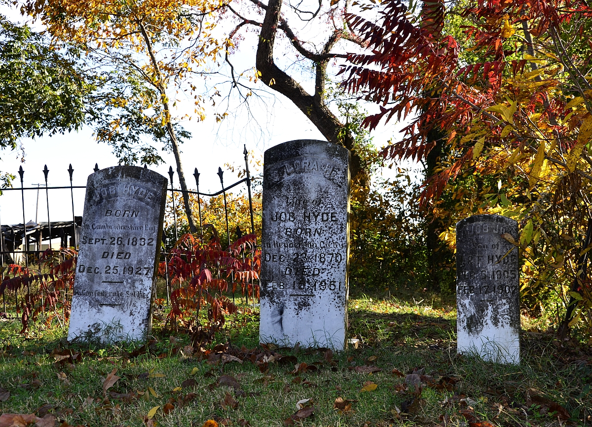
Trippe Holly Grove Cemetery
Monument and historic site · National Register of Historic Places · 3.2 mi
Historic cemetery in Arkansas, United States
McGehee City Jail
Monument and historic site · National Register of Historic Places


Missouri Pacific Railway Van Noy Eating House
Monument and historic site · National Register of Historic Places

Japanese American Internment Museum
Museum
History museum in McGehee, Arkansas
World War II Japanese American Internment Museum
Museum
100 South Railroad Street, McGehee
Th-Sa 09:00-16:00
Parks, trails and playgrounds6

Where to stay1

Churches and places of worship18

Saint Peter African Methodist Epsicopal Church
Church · African Methodist Episcopal · 0.5 mi
6 more on the map.
History
The history of the city of McGehee and the history of the railroad through McGehee are intricately interwoven. The history of the railroad dates back to 1870 when a railroad was constructed from Pine Bluff southeast through Varner, to Chicot County.
Important in the history of the town of McGehee is the McGehee family which came to the area from Alabama in 1857. Benjamin McGehee, his wife, Sarah, a son, Abner, and daughters Laura and Mary settled on land that is now a part of McGehee. Abner McGehee, son of Benjamin and Sarah McGehee, purchased 240 acres (0.97 km2) of land on July 1, 1876, on which the town of McGehee was later to be located.
When the railroad came into McGehee in 1878 and continued south and southwest, people began to move into the area. Abner McGehee constructed a large commissary building and entered the mercantile business to accommodate the new arrivals.
One of the first buildings in the area was a sawmill. The lumber cut in this mill was used to build shotgun-type rent houses.
A post office was established in the McGehee commissary, and in 1879 Abner McGehee became the first postmaster. The post office was named McGehee and served between 400 and 500 people.
An order of incorporation was signed on March 5, 1906. The first meeting of the town council was held on July 21, 1906.
From the History section of McGehee, Arkansas on Wikipedia, under CC BY-SA 4.0.
Shopping2
Schools, colleges and libraries6
Healthcare1
Map of McGehee
46 places. The map loads OpenStreetMap tiles when you open it.
Climate by month
Monthly table
| Month | High | Low | Rain | Snow |
|---|---|---|---|---|
| Jan | 51°F | 34°F | 5.5 in | 0.5 in |
| Feb | 55°F | 37°F | 5.4 in | 0.5 in |
| Mar | 64°F | 45°F | 5.5 in | 0.3 in |
| Apr | 73°F | 53°F | 6.1 in | 0.0 in |
| May | 82°F | 62°F | 5.0 in | 0.0 in |
| Jun | 88°F | 69°F | 4.0 in | 0.0 in |
| Jul | 91°F | 72°F | 3.9 in | 0.0 in |
| Aug | 91°F | 70°F | 3.0 in | 0.0 in |
| Sep | 86°F | 64°F | 3.1 in | 0.0 in |
| Oct | 76°F | 52°F | 4.4 in | 0.0 in |
| Nov | 63°F | 43°F | 4.5 in | 0.0 in |
| Dec | 53°F | 37°F | 6.0 in | 0.0 in |
U.S. Climate Normals 1991-2020 for Dermott 3 Ne (5 mi away), NOAA NCEI.
People and cost of living
American Community Survey 5-year estimates, 2020-2024, U.S. Census Bureau. Estimates have margins of error, larger for small towns.
Disaster history
Desha County has had 16 federal disaster declarations since 2000, most often for severe storms.
- 2026-01-24: Severe Winter Storm (Winter Storm)
- 2025-05-21: Severe Storms, Tornadoes, And Flooding (Flood)
- 2025-04-05: Severe Storms, Tornadoes, And Flooding (Severe Storm)
- 2023-04-04: Severe Winter Storm (Winter Storm)
- 2020-08-27: Hurricane Laura (Hurricane)
- 2020-07-10: Severe Storms And Straight-Line Winds (Tornado)
OpenFEMA disaster declarations summaries.
Getting there and nearby towns
McGehee Municipal Airport (7M1) is the nearest airport with scheduled flights listed in OpenStreetMap, 2 miles away.
- Dermott 7 mi south, about 12 min by car
- Dumas 18 mi north, about 30 min by car
- Lake Village 22 mi south, about 35 min by car
- Monticello 23 mi west, about 37 min by car
- Greenville 26 mi southeast, about 42 min by car
- Leland 33 mi southeast, about 53 min by car
- Star City 33 mi northwest, about 54 min by car
- Hamburg 36 mi southwest, about 58 min by car
- Eudora 36 mi south, about 58 min by car
- Cleveland 39 mi east, about 1 h by car
Drive times are estimates from straight-line distance, not routes.
Local news
Headlines from INDB, the NEMICO news database.
Reviews, tips and questions
Loading what members have shared...
Sources and licences
- NCES EDGE (Public domain): public schools
- NOAA NCEI U.S. Climate Normals 1991-2020 (Public domain): climate by month
- OpenFEMA (Public domain): disaster declarations
- OpenStreetMap contributors (ODbL 1.0): places, airports, map data
- U.S. Census Bureau (Public domain): population, income, housing, education, commute
- Wikidata (CC0 1.0): elevation, founding date, time zone, website, landmarks and historic places
- Wikimedia Commons (see each image): photos
- Wikipedia (CC BY-SA 4.0): overview and history text
Photo credits
- McGeheeProducersIncMcGeheeArkansas, Water tower nut from Metairie, U.S.A., CC BY 2.0
- McGehee City Jail, Valis55, CC BY-SA 3.0
- McGehee National Guard Armory, Valis55, CC BY-SA 3.0
- McGehee Post Office 001, Brandonrush, CC BY-SA 3.0
- McGehee Train Stataion 001, Brandonrush, CC BY-SA 3.0
- Holly Grove Cemetery, Richard apple, CC BY-SA 3.0
- Temple Meir Chayim, Brandonrush, CC BY-SA 3.0
- McGehee Train Stataion 002, Brandonrush, CC BY-SA 3.0
- Parnell-Sharpe House, Valis55, CC BY-SA 4.0
- Jay Lewis House, Valis55, CC BY-SA 3.0
- ISS026-E-21826 - View of Earth, Earth Science and Remote Sensing Unit , Lyndon B. Johnson Space Center, Public domain
- ISS050-E-60329 - View of Earth, Earth Science and Remote Sensing Unit , Lyndon B. Johnson Space Center, Public domain
- ISS026-E-14352 - View of Texas, Earth Science and Remote Sensing Unit , Lyndon B. Johnson Space Center, Public domain
- ISS017-E-21926 - View of Mississippi, Earth Science and Remote Sensing Unit , Lyndon B. Johnson Space Center, Public domain
- ISS050-E-60328 - View of Earth, Earth Science and Remote Sensing Unit , Lyndon B. Johnson Space Center, Public domain
- ISS026-E-14351 - View of Texas, Earth Science and Remote Sensing Unit , Lyndon B. Johnson Space Center, Public domain
- ISS050-E-60330 - View of Earth, Earth Science and Remote Sensing Unit , Lyndon B. Johnson Space Center, Public domain
- ISS038-E-520 - View of Earth, Earth Science and Remote Sensing Unit , Lyndon B. Johnson Space Center, Public domain
- ISS026-E-14470 - View of Earth, Earth Science and Remote Sensing Unit , Lyndon B. Johnson Space Center, Public domain


Page built October 30, 2026. Spotted a mistake? Tell us or suggest a place.