




Why visit Pagedale
Townapedia lists 25 museums and landmarks, 26 parks and trails, 10 places to eat and 8 attractions in and around town.
Highlights include 24:1 Cinema, Beverly Theater, A & P Food Stores Building and Carrswold Historic District.
July is the warmest month, with average highs of 90°F; January lows average 25°F.
Weather in Pagedale
Forecast from the National Weather Service. Full forecast
About Pagedale
Pagedale is a city in St. Louis County, Missouri, United States. The population was 2,554 as of the 2020 census.
From the Wikipedia article Pagedale, Missouri (this version), under CC BY-SA 4.0.
Things to do8

Beverly Theater
Cinema and theater · National Register of Historic Places · 1.7 mi
Former movie theater in University City, St. Louis County, Missouri, United States

Arts and Sciences at Washington University in St. Louis
School · 2.2 mi
Schools at Washington University in St. Louis

Concordia Seminary
School · 2.9 mi
Postsecondary institution to train pastors and church workers of the Lutheran Church-Missouri Synod

Fontbonne University
School · 2.6 mi
Private university in Clayton, Missouri

St. Louis Municipal Opera Theatre
Cinema and theater · 3.2 mi
Open-air theater in St. Louis, Missouri


Washington University in St. Louis
School · 2.2 mi
Private research university in St. Louis, Missouri, United States
Museums and landmarks25

A & P Food Stores Building
Monument and historic site · National Register of Historic Places · 1.9 mi
United States historic place

Carrswold Historic District
Monument and historic site · National Register of Historic Places · 2.7 mi
Historic district in Clayton, Missouri, USA

Delmar Loop–Parkview Gardens Historic District
Monument and historic site · National Register of Historic Places · 1.7 mi
University City, Missouri, listed on the NRHP in Missouri

DeMun
Monument and historic site · National Register of Historic Places · 3.0 mi
Human settlement in St. Louis, Missouri, United States of America

Emmanuel DeHodiamont House
Monument and historic site · National Register of Historic Places · 1.6 mi
Historic house in Missouri, United States

Greenwood Cemetery
Monument and historic site · National Register of Historic Places · 1.2 mi
Historic cemetery in Hillsdale, Missouri

Hamilton Place Historic District
Monument and historic site · National Register of Historic Places · 1.8 mi
Historic district in Missouri, United States

Holy Corners Historic District
Monument and historic site · National Register of Historic Places · 3.2 mi
In St. Louis, in the U.S. state of Missouri

Joseph Erlanger House
Monument and historic site · National Register of Historic Places · 3.1 mi
House in St. Louis, United States of America

Parkview
Monument and historic site · National Register of Historic Places · 1.7 mi
Human settlement in St. Louis, Missouri, United States of America

Portland and Westmoreland Places
Monument and historic site · National Register of Historic Places · 3.1 mi
Historic district in the Central West End neighborhood of St. Louis, Missouri

St. Vincent's Hospital
Monument and historic site · National Register of Historic Places · 0.8 mi
Former hospital in Missouri, United States
13 more on the map.
Parks, trails and playgrounds26


Forest Park
Park · 3.1 mi
Large city park in St. Louis, Missouri, United States




14 more on the map.
Restaurants and cafes10


Chicago Fish Chicken Grill
Diner · American · 1.2 mi
6707 Vernon Avenue
Mo-Th 10:00-23:00; Fr-Sa 10:00-00:00; Su 10:00-22:00


Domino's
Fast food · Pizza · 1.1 mi
6963 Olive Boulevard, University City
Mo-Th 10:30-24:00; Fr-Sa 10:30-01:00; Su 10:30-24:00
Popeyes
Fast food · Chicken · 0.4 mi
7115 Page Avenue, Saint Louis
Mo-We 10:00-23:00; Th-Sa 10:00-24:00; Su 10:00-23:00
Taco Bell
Fast food · Tex-Mex · 1.5 mi
851 North Skinker Boulevard, Saint Louis
Mo-We 09:00-02:00; Th-Sa 09:00-03:00; Su 09:00-02:00
Lee's Famous Recipe Chicken
Fast food · Chicken · 1.6 mi
6221 Vernon Avenue, University City
History
The area originally was farmland, but it did have an interesting history with several pockets of significant Greek and African-American residents. Because St. Vincent's mental hospital was located just north of St. Charles Rock Road, a streetcar line was constructed in the late 1800s from just south of Olive Street Road in University City north on the east side of Ferguson Avenue through what is now Pagedale to meet the electric interurban line to Saint Charles at the Rock Road. The south end of the line eventually joined with the Creve Coeur Lake streetcar line which ran on Vernon Avenue (but later was relocated a block further south to run behind a new subdivision). That transportation opened up the area to housing.
South of Pagedale, at Page and Ferguson, was Hazel Hill, which eventually became the reason for the Lincoln School which became part of the Normandy School District. Though long forgotten as a name, the Hazel Hill community still exists and the Lincoln building is still standing. When Pagedale was incorporated, the northern end went beyond the Rock Road up Hoke Avenue, which later was renamed Ferguson though it didn't line up with Ferguson. In 1954 a new housing subdivision was built at Ferguson and North Market Street. That subdivision, named Engelholm Gardens, a long forgotten name also, still stands, looking exactly as it did in 1954.
From the History section of Pagedale, Missouri on Wikipedia, under CC BY-SA 4.0.
Churches and places of worship39
Assumption Greek Orthodox Church
Church · National Register of Historic Places · 1.7 mi
Bracy Chapel Christian Methodist Episcopal Church;Bracy Chapel
Church · Methodist · 1.4 mi
Mount Gideon Missionary Baptist Church
Church · Baptist · 1.0 mi
6505 Etzel Avenue
Saint Augustine Catholic Church
Church · Roman Catholic · 1.4 mi
1371 Hamilton Avenue, Saint Louis
Saint Paul African Methodist Episcopal Church
Church · Methodist · 1.5 mi
5885 Julian Avenue, Saint Louis
Shopping1
Gas and EV charging1
Schools, colleges and libraries51
Normandy High School
School · 0.7 mi
Saint Charles Rock Road, Saint Louis
Brentwood Early Childhd Center
School · 4.9 mi
2350 St. Clair Ave - Suite B, Brentwood
Healthcare3
Map of Pagedale
164 places. The map loads OpenStreetMap tiles when you open it.
Climate by month
Monthly table
| Month | High | Low | Rain |
|---|---|---|---|
| Jan | 41°F | 25°F | 2.7 in |
| Feb | 46°F | 28°F | 2.3 in |
| Mar | 56°F | 38°F | 3.6 in |
| Apr | 68°F | 48°F | 4.8 in |
| May | 77°F | 59°F | 4.9 in |
| Jun | 86°F | 67°F | 4.7 in |
| Jul | 90°F | 72°F | 4.2 in |
| Aug | 88°F | 70°F | 3.8 in |
| Sep | 82°F | 62°F | 3.4 in |
| Oct | 70°F | 50°F | 3.2 in |
| Nov | 56°F | 39°F | 3.7 in |
| Dec | 45°F | 30°F | 2.6 in |
U.S. Climate Normals 1991-2020 for St Louis Sci Ctr (4 mi away), NOAA NCEI.
People and cost of living
American Community Survey 5-year estimates, 2020-2024, U.S. Census Bureau. Estimates have margins of error, larger for small towns.
Disaster history
St. Louis County has had 23 federal disaster declarations since 2000, most often for severe storms.
- 2025-06-09: Severe Storms, Straight-Line Winds, Tornadoes, And Flooding (Severe Storm)
- 2025-05-21: Severe Storms, Straight-Line Winds, Tornadoes, And Wildfires (Severe Storm)
- 2022-08-08: Severe Storms And Flooding (Flood)
- 2020-03-26: Covid-19 Pandemic (Biological)
- 2020-03-13: Covid-19 (Biological)
- 2017-06-02: Severe Storms, Tornadoes, Straight-Line Winds And Flooding (Flood)
OpenFEMA disaster declarations summaries.
Getting there and nearby towns
St. Louis Lambert International Airport (STL) is the nearest airport with scheduled flights listed in OpenStreetMap, 6 miles away.
- Hanley Hills 1 mi west, about 2 min by car
- Bel-Nor 1 mi northwest, about 2 min by car
- University City 2 mi southwest, about 3 min by car
- Charlack 2 mi northwest, about 4 min by car
- Clayton 3 mi southwest, about 4 min by car
- Bel-Ridge 3 mi northwest, about 4 min by car
- Overland 3 mi west, about 6 min by car
- Cool Valley 3 mi north, about 5 min by car
- Jennings 4 mi northeast, about 6 min by car
- St. Louis 5 mi southeast, about 7 min by car
Drive times are estimates from straight-line distance, not routes.
Local news
Headlines from INDB, the NEMICO news database.
Reviews, tips and questions
Loading what members have shared...
Sources and licences
- NCES EDGE (Public domain): public schools
- NOAA NCEI U.S. Climate Normals 1991-2020 (Public domain): climate by month
- OpenFEMA (Public domain): disaster declarations
- OpenStreetMap contributors (ODbL 1.0): places, airports, map data
- U.S. Census Bureau (Public domain): population, income, housing, education, commute
- Wikidata (CC0 1.0): elevation, founding date, time zone, website, landmarks and historic places
- Wikimedia Commons (see each image): photos
- Wikipedia (CC BY-SA 4.0): overview and history text
Photo credits
- St Charles Rock Rd, Pagedale, Missouri, Paul Sableman, CC BY 2.0
- Laurel Hill Cemetery, Pagedale, Missouri, Paul Sableman, CC BY 2.0
- Assumption Greek Orthodox Church (corner view), Liezl Moss, CC BY-SA 3.0
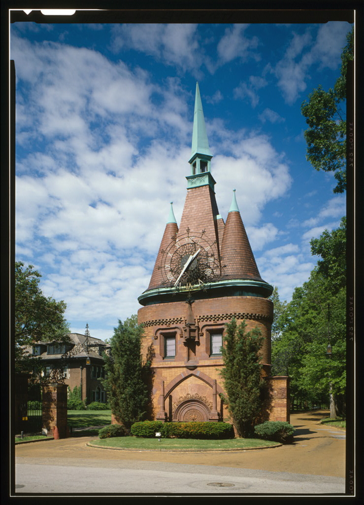
- Washington terrace gate st. louis, Jack Boucher, Public domain
- WUBrook, Endersan, Public domain
- Beverly Theater, Gavreh, CC BY-SA 3.0
- St. Vincent's Hospital, LittleT889, CC BY-SA 4.0
- Delmar Loop - Parkview Gardens Historic District, Liezl Moss, CC BY-SA 3.0
- Portland Place, St Louis, LittleT889, CC BY-SA 4.0
- Sutter-Meyer House Current, Bmatthewshea, CC BY-SA 3.0
- Parkview Historic District, LittleT889, CC BY-SA 4.0
- Art deco building, Matthew Hurst from Brooklyn, NY, USA, CC BY-SA 2.0
- Wydown-Forsyth District, Jon Roanhaus, CC BY-SA 3.0
- Westminster Place Entrance, Gavreh, CC BY-SA 3.0
- Joseph Erlanger House, St. Louis, Missouri, Unknown author Unknown author, Public domain
- DeMun Avenue Night Aug 2012, Husgen, CC BY-SA 3.0
- Greenwood Cemetery Entrance Pillar, Bb vc2254, CC BY-SA 4.0
- Emmanuel DeHodiamont House, LittleT889, CC BY-SA 4.0
- Cool House on Enright, Paul Sableman, CC BY 2.0
- Norwood Hills Country Club, LittleT889, CC BY-SA 4.0
- Miniature Railway, Unknown author, CC BY-SA 2.5
- Olin Library - Danforth Campus at Washington University in St. Louis, Baili Min, Attribution
- Forest Park, St Louis, Kris from Seattle, USA, CC BY 2.0
- UMSL 01, Suobara, CC BY-SA 3.0
- St louis Art Museum, Unknown author, Public domain
- Missouri-history-museum-st-louis-forest-park, en:User:Colin.faulkingham, Public domain
- Concordia Seminary, Original uploader was Sallyrob (Robert E. Nylund) at en.wikipedia, Public domain
- First Church of Christ, Scientist (St. Louis, Missouri), LittleT889, CC BY-SA 4.0
- Kemper Art Museum at Wash U, Shubinator, CC BY-SA 3.0
- Ridgley Hall - West Brookings Quadrangle at Washington University in St. Louis, Baili Min, Attribution
- Fontbonne University, LittleT889, CC BY-SA 4.0
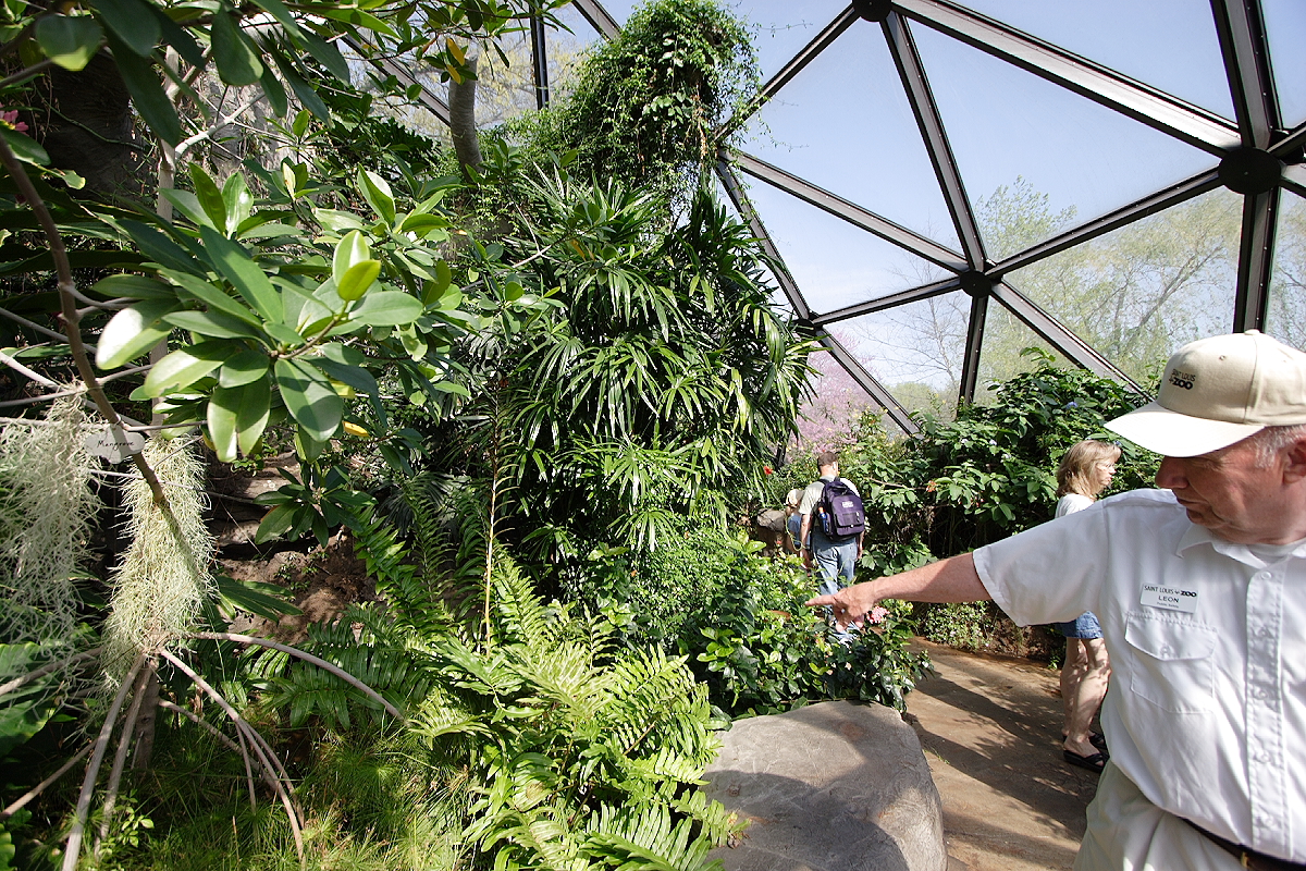
- Butterfly zoo guide, Unknown author, CC BY-SA 2.5
- Muny 2017, Dalstadt, CC BY-SA 4.0
- Memorial to the Confederate Dead, LittleT889, CC BY-SA 4.0
- Lever Soap Factory (13921195142), Paul Sableman from St. Louis, MO, CC BY 2.0
- Lever Soap Factory (13921214866), Paul Sableman from St. Louis, MO, CC BY 2.0
- Lever Soap Factory (13921330152), Paul Sableman from St. Louis, MO, CC BY 2.0
- Lever Soap Plant (13944488713), Paul Sableman from St. Louis, MO, CC BY 2.0
- Obces (13944893354), Paul Sableman from St. Louis, MO, CC BY 2.0
- Bank Ld (13944895624), Paul Sableman from St. Louis, MO, CC BY 2.0


Page built October 30, 2026. Spotted a mistake? Tell us or suggest a place.