


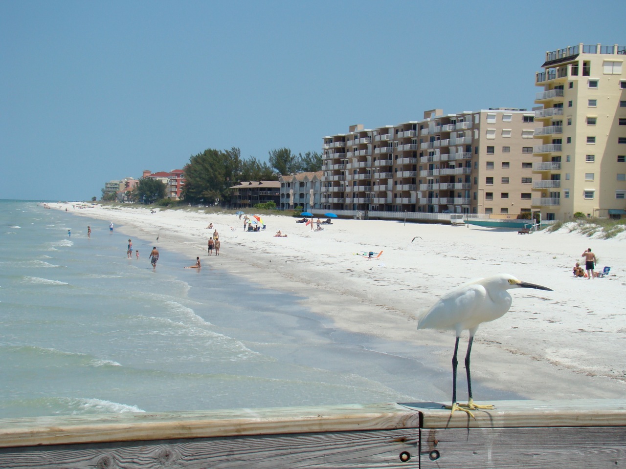
Redington Shores, Florida
Redington Shores is a town of 2,009 people in Pinellas County, Florida.
Why visit Redington Shores
Townapedia lists 6 parks and trails, 15 places to eat, 9 places to stay and 2 attractions in and around town.
Highlights include Park Boulevard Bridge, Tiki Gardens, Boca Ciega Millennium Park and Redington Shores Beach Access.
August is the warmest month, with average highs of 91°F; January lows average 52°F.
Weather in Redington Shores
Forecast from the National Weather Service. Full forecast
About Redington Shores
Redington Shores is a town in Pinellas County, Florida, United States. The county is part of the Tampa–St. Petersburg–Clearwater Metropolitan Statistical Area, more commonly known as the Tampa Bay Area. The population was 2,176 at the 2020 census.
From the Wikipedia article Redington Shores, Florida (this version), under CC BY-SA 4.0.
Things to do2

Park Boulevard Bridge
Bridge · 0.9 mi
Bridge in Florida, United States of America

Parks, trails and playgrounds6



Restaurants and cafes15





3 more on the map.
Where to stay9

Far Horizons Motel
Motel and hotel · 0.9 mi
17248 Gulf Boulevard, North Redington Beach
Malibu Resort Motel
Motel and hotel · 1.1 mi
17001 Gulf Boulevard, Saint Peterburg
Churches and places of worship3
Oakhurst United Methodist
Church · Methodist · 1.0 mi
13400 Park Boulevard North, Seminole
Shopping1
Gas and EV charging3
Schools, colleges and libraries22
Madeira Beach Fundamental K-8
School · 3.1 mi
591 Tom Stuart Causeway, Madeira Beach
Healthcare2
Map of Redington Shores
63 places. The map loads OpenStreetMap tiles when you open it.
Climate by month
Monthly table
| Month | High | Low | Rain |
|---|---|---|---|
| Jan | 71°F | 52°F | 2.6 in |
| Feb | 73°F | 55°F | 2.4 in |
| Mar | 77°F | 59°F | 2.4 in |
| Apr | 82°F | 64°F | 2.6 in |
| May | 87°F | 70°F | 2.7 in |
| Jun | 90°F | 75°F | 8.9 in |
| Jul | 90°F | 76°F | 9.7 in |
| Aug | 91°F | 76°F | 8.8 in |
| Sep | 89°F | 75°F | 6.4 in |
| Oct | 84°F | 70°F | 2.5 in |
| Nov | 77°F | 61°F | 1.6 in |
| Dec | 73°F | 56°F | 2.9 in |
U.S. Climate Normals 1991-2020 for St Petersburg Intl Ap (10 mi away), NOAA NCEI.
People and cost of living
American Community Survey 5-year estimates, 2020-2024, U.S. Census Bureau. Estimates have margins of error, larger for small towns.
Disaster history
Pinellas County has had 30 federal disaster declarations since 2000, most often for hurricanes.
- 2024-10-11: Hurricane Milton (Hurricane)
- 2024-10-07: Hurricane Milton (Hurricane)
- 2024-09-28: Hurricane Helene (Hurricane)
- 2024-09-24: Tropical Storm Helene (Tropical Storm)
- 2024-08-10: Hurricane Debby (Tropical Storm)
- 2024-08-03: Tropical Storm Debby (Tropical Storm)
OpenFEMA disaster declarations summaries.
Getting there and nearby towns
Saint Petersburg-Clearwater International Airport (PIE) is the nearest airport with scheduled flights listed in OpenStreetMap, 11 miles away.
- North Redington Beach 1 mi southeast, about 2 min by car
- Indian Shores 1 mi northwest, about 2 min by car
- Redington Beach 2 mi southeast, about 3 min by car
- Seminole 3 mi east, about 5 min by car
- Madeira Beach 4 mi southeast, about 6 min by car
- Bay Pines 4 mi east, about 6 min by car
- Ridgecrest 4 mi northeast, about 7 min by car
- Indian Rocks Beach 4 mi north, about 7 min by car
- Bardmoor 5 mi east, about 8 min by car
- Largo 6 mi northeast, about 10 min by car
Drive times are estimates from straight-line distance, not routes.
Local news
Headlines from INDB, the NEMICO news database.
Reviews, tips and questions
Loading what members have shared...
Sources and licences
- NCES EDGE (Public domain): public schools
- NOAA NCEI U.S. Climate Normals 1991-2020 (Public domain): climate by month
- OpenFEMA (Public domain): disaster declarations
- OpenStreetMap contributors (ODbL 1.0): places, airports, map data
- U.S. Census Bureau (Public domain): population, income, housing, education, commute
- Wikidata (CC0 1.0): elevation, founding date, time zone, website, landmarks and historic places
- Wikimedia Commons (see each image): photos
- Wikipedia (CC BY-SA 4.0): overview and history text
Photo credits
- Redington shores town hall 20130506 (16), Philipp Michel Reichold, CC BY-SA 3.0
- Thalasseus maximus (Royal Tern) & Thalasseus acuflavidus (Cabot's Tern), Redington Shores, Florida 20, gary_leavens, CC BY-SA 2.0
- Park Boulevard Bridge, Mykhaylovdimitriy, CC BY-SA 4.0
- Bikini modelling Del Bello Park pp, Walter, CC BY 2.0
- Bonjour^ Comment allez-vous^ - Hi^ Pretty hey - panoramio, Richard Mc Neil, CC BY 3.0
- Indian shores, Florida - panoramio, Vaclav Zrno, CC BY 3.0
- Transition (28277843269), Gregory Urbano from St. Petersburg, Florida, USA, CC BY 2.0
- Sea Oats 2010 (IMG 9793) (4616500701), jon collier, CC BY-SA 2.0
- Rynchops niger (Black Skimmer) 19, gary_leavens, CC BY-SA 2.0
- Limnodromus griseus (Short-billed Dowitcher) 19, gary_leavens, CC BY-SA 2.0
- Limnodromus griseus (Short-billed Dowitcher) 20, gary_leavens, CC BY-SA 2.0
- Starlight Starbright Redington Long Pier (25017190377), Gregory Urbano from St. Petersburg, Florida, USA, CC BY 2.0
- Redington Long Pier Sunset Silhouette (28108622979), Gregory Urbano from St. Petersburg, Florida, USA, CC BY 2.0
- North Redington Beach, FL, USA - panoramio, DANIEL ALFARO C., CC BY-SA 3.0
- Chimney Swift (26351939181), Gary Leavens, CC BY-SA 2.0
- Ys Goldt Author Image, Ysgoldt, CC BY-SA 4.0
- Town hall redington beach 20130506 (9), Philipp Michel Reichold, CC BY-SA 3.0


Page built October 30, 2026. Spotted a mistake? Tell us or suggest a place.