


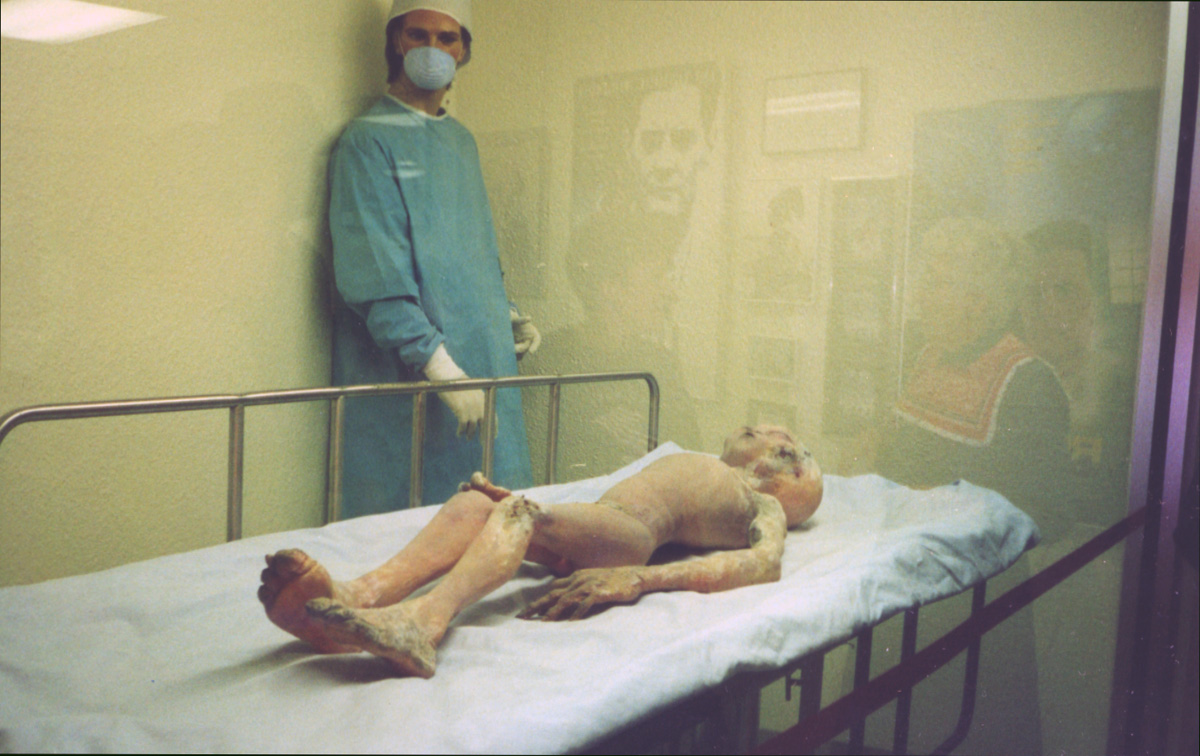

Roswell, New Mexico
Roswell is a city of 47,638 people in Chaves County, New Mexico, founded in 1869.
Why visit Roswell
Townapedia lists 28 museums and landmarks, 37 parks and trails, 81 places to eat, 25 places to stay and 5 attractions in and around town.
Highlights include Apex Cinema Roswell, Spring River Zoo, Anderson Museum of Contemporary Art and Roswell Museum and Art Center.
July is the warmest month, with average highs of 94°F; January lows average 23°F.
Weather in Roswell
Forecast from the National Weather Service. Full forecast
About Roswell
Roswell is a city in and the county seat of Chaves County, New Mexico, United States. The population was 48,422 at the 2020 census, making it the fifth-most populous city in New Mexico. It is home to the New Mexico Military Institute (NMMI), founded in 1891. The city is also the location of an Eastern New Mexico University campus.
From the Wikipedia article Roswell, New Mexico (this version), under CC BY-SA 4.0.
Things to do5


Museums and landmarks28

Anderson Museum of Contemporary Art
Museum · 2.6 mi
Art museum in Roswell, New Mexico
409 East College Boulevard, Roswell
Mo-Fr 09:00-16:00, Sa-Su 13:00-17:00

Roswell Museum and Art Center
Museum · 2.1 mi
Museum and planetarium in New Mexico, US
100 West 11th Street, Roswell
Mo-Sa 09:00-17:00, Su 13:00-17:00

International UFO Museum & Research Center
Museum · 1.4 mi
114 North Main Street, Roswell
Mo-Su 09:00-17:00

New Mexico Military Institute
Monument and historic site · National Register of Historic Places · 2.5 mi
Public military junior college and high school in New Mexico
101 West College Boulevard, Roswell

Chaves County Courthouse
Monument and historic site · National Register of Historic Places · 1.7 mi
County courthouse of Chaves County, New Mexico

Downtown Roswell Historic District
Monument and historic site · National Register of Historic Places · 1.9 mi
Historic district in Roswell, New Mexico

James Phelps White House
Monument and historic site · National Register of Historic Places · 1.5 mi
House in Roswell, New Mexico


Louise Massey House
Monument and historic site · National Register of Historic Places · 1.2 mi
Historic house in Roswell, New Mexico, USA
Millhiser-Baker Farm
Monument and historic site · National Register of Historic Places · 1.3 mi
Farm in Chaves County, United States of America
Milne-Bush Ranch
Monument and historic site · National Register of Historic Places · 4.8 mi
Ranch in Chaves County, New Mexico
Patrick Floyd Garrett House
Monument and historic site · National Register of Historic Places · 5.7 mi
House in Chaves County, New Mexico
Robert H. Goddard House
Monument and historic site · National Register of Historic Places · 4.3 mi
Roswell, New Mexico, listed on the NRHP in Chaves County
16 more on the map.
Parks, trails and playgrounds37


25 more on the map.
Restaurants and cafes81

Applebee's
Diner · American · 3.2 mi
2212 North Main Street, Roswell
Mo-Th,Su 11:00-24:00; Fr,Sa 11:00-25:00



IHOP
Restaurant · Breakfast, Pancake · 3.3 mi
2304 North Main Street, Roswell
Mo-Th,Su 06:00-22:00; Fr,Sa 06:00-24:00
Starbucks
Cafe · Coffee Shop · 2.4 mi
1309 North Main Street, Roswell
Su 06:00-22:00; Mo-Th 05:30-22:00; Fr-Sa 05:30-21:00
The Hot Bev Energy Cafe
Cafe · Coffee Shop · 2.2 mi
1100 North Virginia Avenue, Roswell
Mo-Fr 07:00-15:00; Sa 08:00-15:00

69 more on the map.
History
The first settlers were a group of pioneers from Missouri, who attempted to start a settlement 15 miles (24 km) southwest of what is now Roswell in 1865, but were forced to abandon the site because of a lack of water. It was called Missouri Plaza. It also had many Hispanic people from Lincoln, New Mexico. John Chisum had his famous Jingle Bob Ranch about 5 miles (8 km) from the center of Roswell, at South Spring Acres. At the time, it was the largest ranch in the United States.
Van C. Smith, a businessman from Omaha, Nebraska, and his partner, Aaron Wilburn, constructed two adobe buildings in 1869 that began what is now Roswell. The two buildings became the settlement's general store, post office, and sleeping quarters for paying guests. In 1871, Smith filed a claim with the federal government for the land around the buildings, and on August 20, 1873, he became the town's first postmaster. Smith was the son of Roswell Smith, a prominent lawyer in Lafayette, Indiana, and Annie Ellsworth, daughter of U.S. Patent Commissioner Henry Leavitt Ellsworth. He called the town Roswell, after his father's first name.
From the History section of Roswell, New Mexico on Wikipedia, under CC BY-SA 4.0.
Where to stay25
Churches and places of worship40
Shopping14
Gas and EV charging25
Schools, colleges and libraries56
Healthcare6
Covenant Medical Group Roswell
Clinic and pharmacy · 3.5 mi
609 West Country Club Road, Roswell
Map of Roswell
250 places. The map loads OpenStreetMap tiles when you open it.
Climate by month
Monthly table
| Month | High | Low | Rain | Snow |
|---|---|---|---|---|
| Jan | 56°F | 23°F | 0.4 in | 1.9 in |
| Feb | 61°F | 27°F | 0.4 in | 1.3 in |
| Mar | 69°F | 34°F | 0.6 in | 0.2 in |
| Apr | 76°F | 41°F | 0.7 in | 0.0 in |
| May | 84°F | 50°F | 1.0 in | 0.0 in |
| Jun | 94°F | 61°F | 0.7 in | 0.0 in |
| Jul | 94°F | 66°F | 1.9 in | 0.0 in |
| Aug | 92°F | 64°F | 1.6 in | 0.0 in |
| Sep | 84°F | 56°F | 1.6 in | 0.0 in |
| Oct | 76°F | 44°F | 1.4 in | 0.5 in |
| Nov | 64°F | 31°F | 0.6 in | 2.0 in |
| Dec | 56°F | 23°F | 0.6 in | 3.9 in |
U.S. Climate Normals 1991-2020 for Roswell Climat (1 mi away), NOAA NCEI.
People and cost of living
American Community Survey 5-year estimates, 2020-2024, U.S. Census Bureau. Estimates have margins of error, larger for small towns.
Disaster history
Chaves County has had 8 federal disaster declarations since 2000, most often for floods.
- 2025-07-10: Severe Storms, Flooding, And Landslides (Flood)
- 2024-11-01: Severe Storm And Flooding (Flood)
- 2020-04-05: Covid-19 Pandemic (Biological)
- 2020-03-13: Covid-19 (Biological)
- 2013-10-29: Severe Storms, Flooding, And Mudslides (Flood)
- 2005-09-07: Hurricane Katrina Evacuation (Hurricane)
OpenFEMA disaster declarations summaries.
Getting there and nearby towns
Roswell International Air Center (ROW) is the nearest airport with scheduled flights listed in OpenStreetMap, 5 miles away.
- Midway 7 mi southeast, about 11 min by car
- Dexter 15 mi southeast, about 25 min by car
- Hagerman 21 mi southeast, about 34 min by car
- Lake Arthur 28 mi south, about 44 min by car
- Artesia 37 mi south, about 59 min by car
- Atoka 42 mi south, about 1 h by car
Drive times are estimates from straight-line distance, not routes.
Local news
Headlines from INDB, the NEMICO news database.
Reviews, tips and questions
Loading what members have shared...
Sources and licences
- NCES EDGE (Public domain): public schools
- NOAA NCEI U.S. Climate Normals 1991-2020 (Public domain): climate by month
- OpenFEMA (Public domain): disaster declarations
- OpenStreetMap contributors (ODbL 1.0): places, airports, map data
- U.S. Census Bureau (Public domain): population, income, housing, education, commute
- Wikidata (CC0 1.0): elevation, founding date, time zone, website, landmarks and historic places
- Wikimedia Commons (see each image): photos
- Wikipedia (CC BY-SA 4.0): overview and history text
Photo credits
- Roswell NM Main Street, Phil Campbell, CC BY 2.0
- Petroleum Building, Roswell, NM-01, Myotus, CC BY 4.0
- Petroleum Building, Roswell, NM-02, Myotus, CC BY 4.0
- Roswell UFO Museum (5528413706), InSapphoWeTrust from Los Angeles, California, USA, CC BY-SA 2.0
- Roswell UFO Museum (5527823449), InSapphoWeTrust from Los Angeles, California, USA, CC BY-SA 2.0
- Roswell UFO Museum - E.T. (4997524810), jdeeringdavis from San Francisco, CA, USA, CC BY 2.0
- Gray Alien at UFO Museum, Roswell, timlewisnm, CC BY-SA 2.0
- Roswell - Alien 4889611102, CGP Grey, CC BY 2.0
- 2006-08-22 - Road Trip - Day 30 - United States - New Mexico - Roswell - Alien Chamber 4889606798, CGP Grey, CC BY 2.0
- Roswell Alien Streetlight 4889004723, CGP Grey, CC BY 2.0
- 2006-08-22 - Road Trip - Day 30 - United States - New Mexico - Roswell - The Museum of Alternate Rea 4889017553, CGP Grey, CC BY 2.0
- 2006-08-22 - Road Trip - Day 30 - United States - New Mexico - Roswell - Cover-up Cafe 4889603104, CGP Grey, CC BY 2.0
- Downtown Roswell façades - panoramio, Peter K., CC BY-SA 3.0
- Greetings from Roswell, New Mexico - Large Letter Postcard (5274357936), Steve Shook from Moscow, Idaho, USA, CC BY 2.0
- Carnegie LIbrary, Roswell, MN, Myotus, CC BY 4.0
- 10 Years performing at Roswell, New Mexico in 2024, Quintin Soloviev, CC BY 4.0
- Roswell New Mexico City Hall, AllenS, Public domain
- Roswell Museum, Roswell, New Mexico-01, Myotus, CC BY 4.0
- Anderson Museum of Contemporary Art Roswell New Mexico, AllenS, Public domain
- Hagerman Barracks, New Mexico Military Institute-02, Myotus, CC BY 4.0
- Historical-museum, Juliana Halvorson, CC BY-SA 4.0
- Louise Massey house from S 1, Ammodramus, CC0
- Roswell NM - County Courthouse, Paul Schultz, CC BY 2.0
- Saunders-Crosby house from N 1, Ammodramus, CC0
- Mystery machine MIA---saudade 2013-06-11 05-45, User:Saudadebingo 14, CC BY-SA 3.0
- "UFO Museum and Research Center" - panoramio, epicanis, CC BY-SA 3.0
- Exhibit, International UFO Museum-03, Myotus, CC BY 4.0
- International UFO Museum-facade, Myotus, CC BY 4.0
- Research Library, International UFO Museum-01, Myotus, CC BY 4.0
- Exhibit, International UFO Museum-05, Myotus, CC BY 4.0
- Exhibit, International UFO Museum-04, Myotus, CC BY 4.0
- Exhibit, International UFO Museum-02, Myotus, CC BY 4.0
- Exhibit, International UFO Museum-01, Myotus, CC BY 4.0
- Research Library, International UFO Museum-02, Myotus, CC BY 4.0
- Research Library, International UFO Museum-03, Myotus, CC BY 4.0
- Exhibit, International UFO Museum-6, Myotus, CC BY 4.0
- Research Library, International UFO Museum-04, Myotus, CC BY 4.0
- Research Library, International UFO Museum-05, Myotus, CC BY 4.0
- Research Library, International UFO Museum-06, Myotus, CC BY 4.0
- Alien Xing 4889601316, CGP Grey, CC BY 2.0


Page built October 30, 2026. Spotted a mistake? Tell us or suggest a place.