


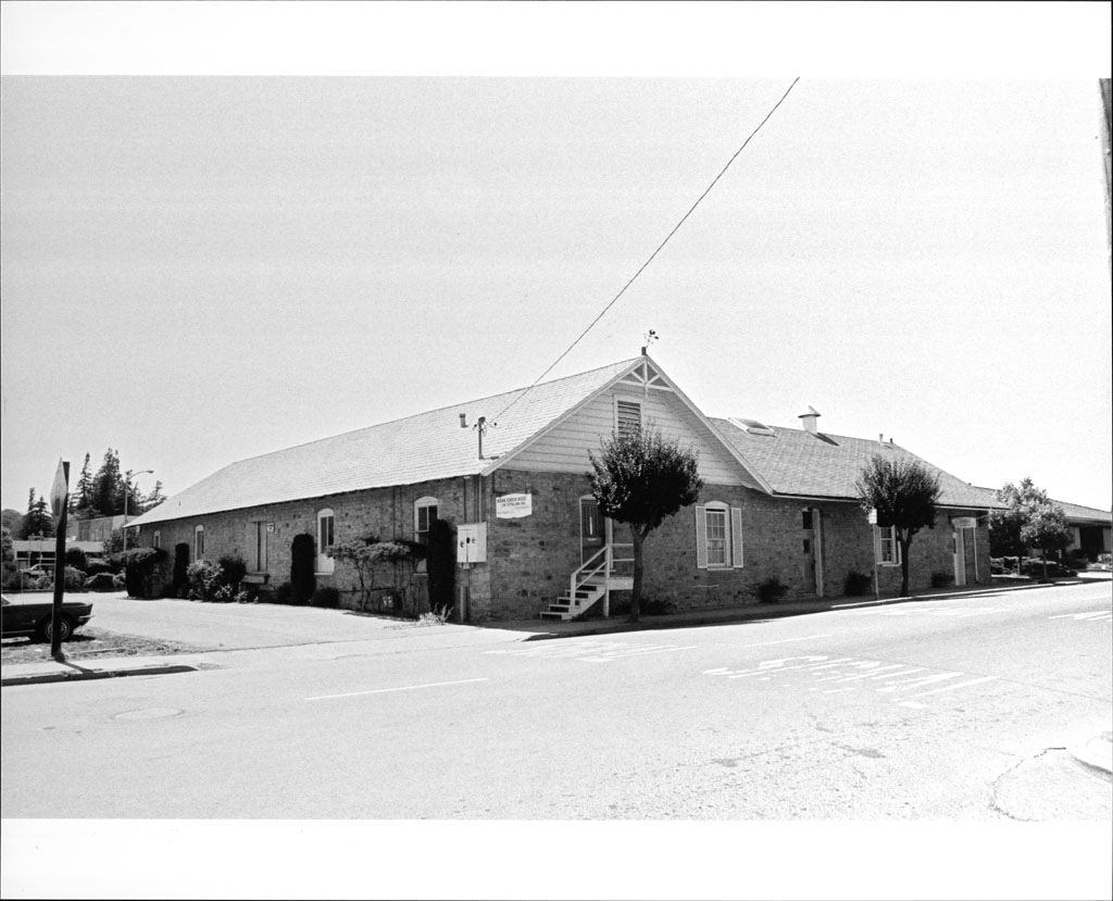
Santa Rosa, California
Santa Rosa is a city of 177,090 people in Sonoma County, California.
Why visit Santa Rosa
Townapedia lists 33 museums and landmarks, 79 parks and trails, 239 places to eat, 22 places to stay and 6 attractions in and around town.
Highlights include Empire College, Luther Burbank Center for the Arts, Charles M. Schulz Museum and Research Center and De Turk Round Barn.
September is the warmest month, with average highs of 84°F; December lows average 38°F.
Weather in Santa Rosa
Forecast from the National Weather Service. Full forecast
Things to do6

Empire College
School · 2.0 mi
Private university in Santa Rosa, California

Luther Burbank Center for the Arts
Cinema and theater · 4.0 mi
Theatre in Santa Rosa, California, United States
Museums and landmarks33

Charles M. Schulz Museum and Research Center
Museum · 1.9 mi
Museum located in Santa Rosa, California
2301 Hardies Lane, Santa Rosa
Mo,We-Fr 11:00-17:00; Sa-Su 10:00-17:00; Tu off

De Turk Round Barn
Monument and historic site · National Register of Historic Places · 1.0 mi
Barn in California
819 Donahue Street, Santa Rosa

Hotel La Rose
Monument and historic site · National Register of Historic Places · 1.0 mi
Hotel in Santa Rosa, California

Luther Burbank Home and Gardens
Monument and historic site · National Register of Historic Places · 0.7 mi
City park and historic landmark in Santa Rosa, California

James H. and Frances E. Laughlin House
Monument and historic site · National Register of Historic Places · 6.3 mi
House in Sonoma County, California

McDonald Mansion
Monument and historic site · National Register of Historic Places
Historic residence in Santa Rosa, California
Petaluma and Santa Rosa Railway Powerhouse
Monument and historic site · National Register of Historic Places · 7.0 mi
Historic building in California

Railroad Square District
Monument and historic site · National Register of Historic Places · 1.0 mi
Historic district in Santa Rosa, California, USA

Rosenberg's Department Store
Monument and historic site · National Register of Historic Places · 0.4 mi
Historic building in Santa Rosa, California

Sebastopol station
Monument and historic site · National Register of Historic Places · 7.0 mi
Former interurban railway station in Sebastopol, California


William Hood House
Monument and historic site · National Register of Historic Places · 7.0 mi
Historic house in Santa Rosa, California, USA
21 more on the map.
Parks, trails and playgrounds79

Julliard Park
Park · 0.8 mi
Juilliard Park is one of Santa Rosa's oldest parks. The park site was once home to the Juilliard Family. A two-story Victorian house...
227 Santa Rosa Avenue, Santa Rosa
Oct Su[-1]-Mar Su[-1] -1 day: Mo-Su 06:00-18:00; Mar Su[-1]-Oct...
Doyle Community Park
Park · 0.6 mi
Park in Santa Rosa, California, USA
Spring Lake Regional Park
Park · 3.1 mi
Public park in Santa Rosa, California

Fairgrounds Golf Course
Golf course · 1.2 mi
1350 Bennett Valley Road, Santa Rosa
Mo-Su 06:30-21:00

Redwood Empire Ice Arena (Snoopy's Home Ice)
Sports field and stadium · 1.8 mi
1667 West Steele Lane
67 more on the map.
Restaurants and cafes239

Starbucks
Cafe · Coffee Shop · 1.4 mi
2210 Mendocino Avenue, Santa Rosa
Mo-Sa 05:00-20:30; Su 05:30-20:00


East West Cafe Santa Rosa
Restaurant · Burger, Sandwich, Seafood · 2.0 mi
557 Summerfield Road
Mo-Su 11:00-20:00
Goguette Bread
Cafe · Ice Cream, French
French-style breads & baked goods made with organic ingredients & served in petite quarters.
59 Montgomery Drive, Santa Rosa
We-Sa 13:30-21:00
Lepe's Taqueria
Restaurant · Mexican · 2.0 mi
4323 Montgomery Drive, Santa Rosa
Mo-Th 11:00-21:00, Fr-Sa 11:00-22:00, Su 11:00-20:30
Los Tres Chiles
Restaurant · Mexican · 2.4 mi
2765 Yulupa Avenue
Tu-Th 11:00-20:00; Fr 11:00-20:30; Sa-Su 10:00-20:30
Mac's Deli & Cafe
Restaurant · American, Jewish · 0.5 mi
630 4th Street, Santa Rosa
Mo-Sa 08:00-14:45; Su off

Sarmentine - Organic French Bakery
Cafe · Coffee Shop, French · 1.9 mi
52 #112 Mission Circle
Mo-Fr 07:30-16:00; Sa-Su 07:30-15:00
Spinster Sisters
Restaurant · 1.0 mi
Acclaimed local brunch spot
401 South A Street
Tu-Sa 09:00-14:30, 17:00-21:00; Su 09:00-14:30
227 more on the map.
Where to stay22
Flamingo Resort and Spa Santa Rosa Sonoma, Tapestry by Hilton
Motel and hotel · 1.1 mi
2777 4th Street, Santa Rosa
The Sandman Santa Rosa Sonoma, an Ascend Collection Hotel
Motel and hotel · 2.5 mi
3421 Cleveland Ave, Santa Rosa
Best Western Garden Inn
Motel and hotel · 1.6 mi
1500 Santa Rosa Avenue, Santa Rosa
Country Inn Santa Rosa
Motel and hotel · 2.1 mi
2363 Santa Rosa Avenue, Santa Rosa
Extended Stay America - Santa Rosa - South
Motel and hotel · 2.3 mi
2600 Corby Avenue, Santa Rosa
Churches and places of worship41
Our Lady of Kazan Skete
Church · Orthodox · 2.6 mi
2735 Victoria Drive, Santa Rosa
Church of the Incarnation
Church · Episcopal · 0.6 mi
550 Mendocino Avenue, Santa Rosa
Knox Presbyterian Church
Church · Presbyterian · 2.1 mi
1650 West 3rd Street, Santa Rosa
Shopping63
Gas and EV charging36
Schools, colleges and libraries92
Santa Rosa Central Branch Sonoma County Library
Library · 0.4 mi
211 E Street, Santa Rosa
Healthcare19
Santa Rosa Community Health Pediatric Campus
Clinic and pharmacy · 2.3 mi
711 Stony Point Road, Santa Rosa
Sonoma County Indian Health Project - Santa Rosa Clinic
Clinic and pharmacy · 2.1 mi
144 Stony Point Road, Santa Rosa
Passport Health Santa Rosa Travel Clinic
Clinic and pharmacy · 2.1 mi
3452 Mendocino Avenue, Santa Rosa
Map of Santa Rosa
250 places. The map loads OpenStreetMap tiles when you open it.
Climate by month
Monthly table
| Month | High | Low | Rain | Snow |
|---|---|---|---|---|
| Jan | 60°F | 38°F | 5.8 in | 0.0 in |
| Feb | 64°F | 40°F | 6.4 in | 0.0 in |
| Mar | 67°F | 42°F | 4.3 in | 0.0 in |
| Apr | 71°F | 44°F | 2.0 in | 0.0 in |
| May | 74°F | 48°F | 1.3 in | 0.0 in |
| Jun | 80°F | 51°F | 0.3 in | 0.0 in |
| Jul | 82°F | 52°F | 0.0 in | 0.0 in |
| Aug | 83°F | 52°F | 0.0 in | 0.0 in |
| Sep | 84°F | 51°F | 0.1 in | 0.0 in |
| Oct | 79°F | 48°F | 1.6 in | 0.0 in |
| Nov | 67°F | 42°F | 3.2 in | 0.0 in |
| Dec | 59°F | 38°F | 6.5 in | 0.0 in |
U.S. Climate Normals 1991-2020 for Santa Rosa Hcn (1 mi away), NOAA NCEI.
People and cost of living
American Community Survey 5-year estimates, 2020-2024, U.S. Census Bureau. Estimates have margins of error, larger for small towns.
Disaster history
Sonoma County has had 23 federal disaster declarations since 2000, most often for fires.
- 2023-04-03: Severe Winter Storms, Straight-Line Winds, Flooding, Landslides, And Mudslides (Severe Storm)
- 2023-03-10: Severe Winter Storms, Flooding, Landslides, And Mudslides (Flood)
- 2023-01-14: Severe Winter Storms, Flooding, Landslides, And Mudslides (Flood)
- 2023-01-09: Severe Winter Storms, Flooding, And Mudslides (Flood)
- 2020-10-16: Wildfires (Fire)
- 2020-09-27: Glass Fire (Fire)
OpenFEMA disaster declarations summaries.
Getting there and nearby towns
Sonoma County Airport (STS) is the nearest airport with scheduled flights listed in OpenStreetMap, 7 miles away.
- Rohnert Park 7 mi south, about 11 min by car
- Windsor 9 mi northwest, about 14 min by car
- Petaluma 15 mi south, about 24 min by car
- Healdsburg 15 mi northwest, about 24 min by car
- Sonoma 17 mi southeast, about 28 min by car
- Napa 24 mi southeast, about 39 min by car
- Novato 26 mi south, about 42 min by car
- American Canyon 30 mi southeast, about 49 min by car
- Vallejo 34 mi southeast, about 54 min by car
- San Rafael 34 mi south, about 55 min by car
Drive times are estimates from straight-line distance, not routes.
Local news
Headlines from INDB, the NEMICO news database.
Reviews, tips and questions
Loading what members have shared...
Sources and licences
- NCES EDGE (Public domain): public schools
- NOAA NCEI U.S. Climate Normals 1991-2020 (Public domain): climate by month
- OpenFEMA (Public domain): disaster declarations
- OpenStreetMap contributors (ODbL 1.0): places, airports, map data
- U.S. Census Bureau (Public domain): population, income, housing, education, commute
- Wikidata (CC0 1.0): landmarks and historic places
- Wikimedia Commons (see each image): photos
Photo credits
- Charles M. Schulz Museum and Research Center, BrokenSphere, CC BY-SA 3.0
- Luther Burbank Home and Gardens, Frank Schulenburg, CC BY-SA 3.0
- De Turk Round Barn, 819 Donahue St., Santa Rosa, CA 6-12-2010 8-05-53 PM, Sanfranman59, CC BY-SA 3.0
- Hotel La Rose, Santa Rosa, CA Sept 6 2025, E bailey, CC0
- Old Santa Rosa Post Office, Downtown Santa Rosa,2, Wulfnoth of English Wikipedia, CC BY 3.0
- P&SR Power House, Dennis Harris, CC BY 3.0
- Rrsqrazorback, Anlace, Public domain
- Sebastopol Depot of the Petaluma and Santa Rosa Railway, 261 S. Main St., Sebastopol, CA 7-11-2010 3-44-21 PM, Sanfranman59, CC BY-SA 3.0
- McDonald Mansion, 1015 McDonald Ave., Santa Rosa, CA 7-3-2010 1-51-49 PM, Sanfranman59, CC BY-SA 3.0
- James H. & Frances E. Laughlin House, 414 Aviation Blvd., Windsor, CA 7-3-2010 3-18-53 PM, Sanfranman59, CC BY-SA 3.0
- William Hood House, 7501 Sonoma Hwy, Santa Rosa, CA 6-12-2010 7-19-42 PM, Sanfranman59, CC BY-SA 3.0
- Rosenburg's Department Store, 700 Fourth St., Santa Rosa, CA 7-3-2010 12-36-07 PM, Sanfranman59, CC BY-SA 3.0
Page built October 30, 2026. Spotted a mistake? Tell us or suggest a place.