


Why visit Sitka
Townapedia lists 22 museums and landmarks, 8 parks and trails, 1 place to eat, 1 place to stay and 17 attractions in and around town.
Highlights include John O'Connell Bridge, Alaska Native Brotherhood Hall and Cable House and Station.
August is the warmest month, with average highs of 62°F; January lows average 29°F.
Weather in Sitka
Forecast from the National Weather Service. Full forecast
Things to do17

John O'Connell Bridge
Bridge · 10.1 mi
Bridge in United States of America


5 more on the map.
Museums and landmarks22

Alaska Native Brotherhood Hall
Monument and historic site · National Register of Historic Places · 9.9 mi
Historic building in Sitka, Alaska, USA

Cable House and Station
Monument and historic site · National Register of Historic Places · 10.0 mi
Building in Sitka, United States of America

Castle Hill
Monument and historic site · National Register of Historic Places · 10.1 mi
National Historic Landmark and state park in Sitka, Alaska, USA
Emmons House
Monument and historic site · National Register of Historic Places · 9.9 mi
Historic house in Alaska, United States

Hanlon-Osbakken House
Monument and historic site · National Register of Historic Places · 9.9 mi
Historic house in Alaska, United States

Mills House
Monument and historic site · National Register of Historic Places · 9.9 mi
Historic house in Alaska, United States

Murray Apartments and Cottages
Monument and historic site · National Register of Historic Places · 9.9 mi
Historic residential buildings in Alaska, United States
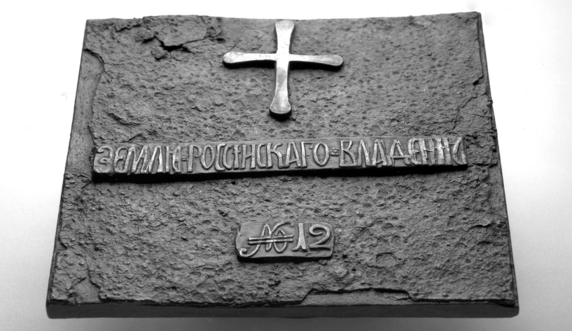
Old Sitka
Monument and historic site · National Register of Historic Places · 4.3 mi
State park and former settlement in Alaska, USA

Russian Bishop's House
Museum · National Register of Historic Places · 9.9 mi
Historic building in Sitka, Alaska, USA

See House
Monument and historic site · National Register of Historic Places · 9.9 mi
Historic house in Alaska, United States
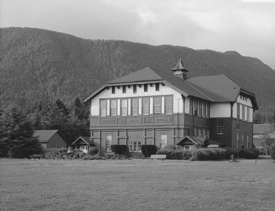


Sheldon Jackson College
Monument and historic site · National Register of Historic Places · 10.0 mi
Defunct junior college in Sitka, Alaska, named for the missionary
Sitka National Cemetery
Monument and historic site · National Register of Historic Places · 10.0 mi
Cemetery in Alaska
10 more on the map.
Parks, trails and playgrounds8





Restaurants and cafes1

Where to stay1
Churches and places of worship4
St. Michael's Cathedral
Church · National Register of Historic Places · 10.0 mi
St. Peter's by-the-Sea Episcopal Church
Church · National Register of Historic Places · 9.9 mi
Shopping1
Schools, colleges and libraries2
Map of Sitka
56 places. The map loads OpenStreetMap tiles when you open it.
Climate by month
Monthly table
| Month | High | Low | Rain |
|---|---|---|---|
| Jan | 37°F | 29°F | 9.6 in |
| Feb | 39°F | 30°F | 6.5 in |
| Mar | 42°F | 30°F | 6.4 in |
| Apr | 49°F | 34°F | 5.0 in |
| May | 54°F | 39°F | 4.0 in |
| Jun | 58°F | 45°F | 3.6 in |
| Jul | 60°F | 50°F | 5.5 in |
| Aug | 62°F | 50°F | 9.6 in |
| Sep | 57°F | 45°F | 13.8 in |
| Oct | 49°F | 39°F | 14.8 in |
| Nov | 42°F | 33°F | 12.1 in |
| Dec | 38°F | 30°F | 11.0 in |
U.S. Climate Normals 1991-2020 for Sitka 1 Ne 70373 (10 mi away), NOAA NCEI.
People and cost of living
American Community Survey 5-year estimates, 2020-2024, U.S. Census Bureau. Estimates have margins of error, larger for small towns.
Disaster history
Sitka City and Borough has had 2 federal disaster declarations since 2000, most often for biologicals.
- 2020-04-09: Covid-19 Pandemic (Biological)
- 2020-03-13: Covid-19 (Biological)
OpenFEMA disaster declarations summaries.
Getting there and nearby towns
Sitka Rocky Gutierrez Airport (SIT) is the nearest airport with scheduled flights listed in OpenStreetMap, 10 miles away.
- Angoon 37 mi northeast, about 1 h by car
Drive times are estimates from straight-line distance, not routes.
Local news
Headlines from INDB, the NEMICO news database.
Reviews, tips and questions
Loading what members have shared...
Sources and licences
- NOAA NCEI U.S. Climate Normals 1991-2020 (Public domain): climate by month
- OpenFEMA (Public domain): disaster declarations
- OpenStreetMap contributors (ODbL 1.0): places, airports, map data
- U.S. Census Bureau (Public domain): population, income, housing, education, commute
- Wikidata (CC0 1.0): landmarks and historic places
- Wikimedia Commons (see each image): photos
Photo credits
- Sitka, Alaska - The Cable House 01, Photo by Joe Mabel, CC BY-SA 4.0
- St. Peter's-by-the-Sea Episcopal Church, Bob Keefer, CC BY 2.0
- 1827 illustration of Castle Hill (Old Sitka, Alaska) by Postels, Postels, Public domain
- 1maksoutoff, James Poulson, CC BY-SA 4.0
- St Michaels Cathedral - Sitka - back, Barek, Public domain
- Sitka12(js), Jerzystrzelecki, CC BY 3.0
- Forest Service House Sitka, Stanley Davis (per the nomination , a USFS archaeologist), Public domain
- SitkaRussianPossessionPlate, National Park Service employee, Public domain
- Native Alaskan Totem Pole, The original uploader was Lordkinbote at English Wikipedia ., CC BY-SA 2.5
- Richard Allen Memorial Hall, Jet Lowe, Public domain
- Sitka15(js), Jerzystrzelecki, CC BY 3.0
- Sitka Naval Operating Base buildings, Jet Lowe, Public domain
- Russian Bishop House August 2005, The original uploader was Lordkinbote at English Wikipedia ., CC BY-SA 2.5
- Abner Murray Apartment Building, James Poulson, CC BY-SA 4.0
- St Petes and Rectory Sika Alaska flickr, Antti T. Nissinen at Flickr, CC BY 2.0
- Russian-American 29, Jet Lowe, Public domain
- The Pioneer House Sitka, Unknown author, CC BY-SA 2.0
- Sitka post office, Seth Anderson, CC BY-SA 2.0
- John O'Connell Bridge, Sitka 2013, Thomson200, CC0


Page built October 30, 2026. Spotted a mistake? Tell us or suggest a place.