


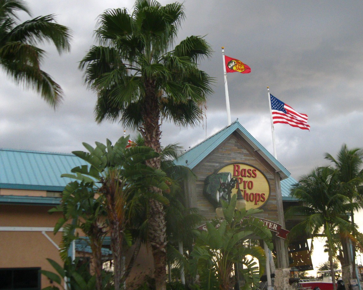

Sweetwater, Florida
Sweetwater is a city of 20,085 people in Miami-Dade County, Florida.
Why visit Sweetwater
Townapedia lists 1 museum or landmark, 9 parks and trails, 87 places to eat, 12 places to stay and 2 attractions in and around town.
Highlights include CMX Dolphin 19 & IMAX, Florida International University, Frost Art Museum and Tamiami Park.
August is the warmest month, with average highs of 91°F; January lows average 58°F.
Weather in Sweetwater
Forecast from the National Weather Service. Full forecast
About Sweetwater
Sweetwater, informally known as "Little Managua", a reference to the longstanding Nicaraguan community within the city, is located in Miami-Dade County, Florida, United States. The city is part of the Miami metropolitan area of South Florida. As of the 2020 census, the population was 19,363, up from 13,499 in 2010.
From the Wikipedia article Sweetwater, Miami-Dade County, Florida (this version), under CC BY-SA 4.0.
Things to do2


Florida International University
School · 2.3 mi
Public research university in Westchester, Florida, United States
Museums and landmarks1


Parks, trails and playgrounds9

Tamiami Park
Park · 2.5 mi
Public park in Miami, Florida, United States
North Trail Park
Park · 1.1 mi
780 Northwest 127th Avenue, Miami
sunrise-sunset

Restaurants and cafes87

La Terraza Organic Restaurant
Restaurant · Juice · 1.7 mi
This is a "Organic Café with a Juice Bar & Gelato" along with a "Traditional Hometown Pharmacy", according to their website they both...
3105 Northwest 107th Avenue, Doral
Mo-We 09:00-18:00; Th 09:00-22:00; Fr 09:00-00:00; Sa 10:30-18:00
Bocas House
Restaurant · Caribbean, Diner, Fish And Chips, Ice Cream, International, Local, Peruvian · 1.8 mi
10200 10200 NW 25th St #101, Doral, FL 33172, Estats Units
Mo-Su 11:30-22:00
Madroño
Restaurant · Nicaraguan · 1.5 mi
10780 West Flagler Street, Miami
Mo-Sa 12:00-21:00; Tu off; Su 12:00-17:00
SOI Thai Street Food & Sake Bar
Restaurant · Thai · 2.0 mi
10016 West Flagler Street, Miami
Tu-Su 12:00-22:00

Starbucks
Cafe · Coffee Shop · 0.5 mi
1780 Northwest 117th Place, Miami
Mo-Th 05:30-21:30; Fr 05:30-22:00; Sa,Su 06:00-22:00

Glowfit Nutrition
Cafe · Smoothie, Snack · 1.0 mi
10893 Northwest 17th Street, Doral
Mo 10:30-17:30; Tu 07:00-12:00; We-Th 10:30-17:00; Fr...
75 more on the map.
History
The history of Sweetwater began during the Florida land boom of the 1920s when the Miami-Pittsburgh Land Company purchased land and laid out the original plat of "Sweetwater Groves". However, the 1926 Miami Hurricane and subsequent South Florida real estate "bust" put an abrupt end to the development venture.
In 1938, Clyde Andrews acquired most of the "Sweetwater Groves" tract and began to market lots. Among his buyers was a troupe of Russian dwarves seeking a place to retire after a career with the circus. They built several mini-scaled homes suited to their needs. For years, Sweetwater was known as the "midget" community.
In 1941, Sweetwater held a successful election for incorporation. The new town's first mayor was Joe Sanderlin, the dwarfs’ guardian and manager. By 1959, Sweetwater had attracted 500 residents and contained a town hall, church, grocery store, service station and 183 homes. It also had a two-man police force and a volunteer fire department. In 1970, Sweetwater was still a relatively small community of about 3,000 residents.
From the History section of Sweetwater, Miami-Dade County, Florida on Wikipedia, under CC BY-SA 4.0.
Where to stay12
Hampton Inn & Suites Miami-Doral/Dolphin Mall
Motel and hotel · 1.8 mi
11600 Northwest 41st Street, Doral
TownePlace Suites Miami Airport West/Doral Area
Motel and hotel · 2.0 mi
10505 Northwest 36th Street, Doral
TownePlace Suites Miami Airport West/Doral Area 1
Motel and hotel · 2.0 mi
10525 Northwest 36th Street
Churches and places of worship6
Our Lady of Guadalupe Catholic Church
Church · Roman Catholic · 0.9 mi
11691 Northwest 25th Street, Doral
Shopping31
Hanna & Tiger Asian Mart
Grocery · Asian, Chinese · 1.6 mi
17 Southwest 107th Avenue, Sweetwater
Gas and EV charging10
Schools, colleges and libraries56
Healthcare8
Nicklaus Children's Outpatient Center
Clinic and pharmacy · 2.0 mi
3601 Northwest 107th Avenue, Doral
Miami Children's Hospital Ambulatory Surgery Center
Clinic and pharmacy · 1.9 mi
Map of Sweetwater
222 places. The map loads OpenStreetMap tiles when you open it.
Climate by month
Monthly table
| Month | High | Low | Rain |
|---|---|---|---|
| Jan | 76°F | 58°F | 2.0 in |
| Feb | 78°F | 61°F | 2.2 in |
| Mar | 81°F | 63°F | 2.3 in |
| Apr | 84°F | 67°F | 3.4 in |
| May | 87°F | 71°F | 6.4 in |
| Jun | 90°F | 75°F | 10.4 in |
| Jul | 91°F | 76°F | 8.7 in |
| Aug | 91°F | 76°F | 10.8 in |
| Sep | 90°F | 76°F | 9.3 in |
| Oct | 87°F | 72°F | 8.4 in |
| Nov | 82°F | 66°F | 3.4 in |
| Dec | 78°F | 62°F | 2.4 in |
U.S. Climate Normals 1991-2020 for Miami Nwsfo (2 mi away), NOAA NCEI.
People and cost of living
American Community Survey 5-year estimates, 2020-2024, U.S. Census Bureau. Estimates have margins of error, larger for small towns.
Disaster history
Miami-Dade County has had 27 federal disaster declarations since 2000, most often for hurricanes.
- 2024-10-11: Hurricane Milton (Hurricane)
- 2024-10-07: Hurricane Milton (Hurricane)
- 2022-12-13: Hurricane Nicole (Hurricane)
- 2022-11-08: Tropical Storm Nicole (Tropical Storm)
- 2022-09-29: Hurricane Ian (Hurricane)
- 2022-09-24: Tropical Storm Ian (Hurricane)
OpenFEMA disaster declarations summaries.
Getting there and nearby towns
Miami International Airport (MIA) is the nearest airport with scheduled flights listed in OpenStreetMap, 6 miles away.
- Doral 3 mi northeast, about 4 min by car
- Fountainebleau 3 mi east, about 4 min by car
- Olympia Heights 5 mi southeast, about 8 min by car
- Kendale Lakes 6 mi south, about 9 min by car
- Coral Terrace 6 mi southeast, about 9 min by car
- Kendall West 6 mi southwest, about 10 min by car
- Miami Springs 7 mi east, about 11 min by car
- Glenvar Heights 7 mi southeast, about 11 min by car
- Hialeah Gardens 7 mi north, about 12 min by car
- Hialeah 8 mi northeast, about 13 min by car
Drive times are estimates from straight-line distance, not routes.
Local news
Headlines from INDB, the NEMICO news database.
Reviews, tips and questions
Loading what members have shared...
Sources and licences
- NCES EDGE (Public domain): public schools
- NOAA NCEI U.S. Climate Normals 1991-2020 (Public domain): climate by month
- OpenFEMA (Public domain): disaster declarations
- OpenStreetMap contributors (ODbL 1.0): places, airports, map data
- U.S. Census Bureau (Public domain): population, income, housing, education, commute
- Wikidata (CC0 1.0): elevation, founding date, time zone, website, landmarks and historic places
- Wikimedia Commons (see each image): photos
- Wikipedia (CC BY-SA 4.0): overview and history text
Photo credits
- 2013-0811-DolphinMall, Bobak Ha'Eri, CC BY 3.0
- FIU ChemistryPhysics, Comayagua99 ( talk ), CC BY-SA 3.0
- Frost Art Museum, User:Comayagua99, CC BY 3.0
- Cheesecake Factory - panoramio (1), Ivan Curra, CC BY-SA 3.0
- -BASS PRO SHOPS- DOLPHIN MALL-MIAMI - panoramio, Ivan Curra, CC BY-SA 3.0
- -THE DOLPHIN - panoramio, Ivan Curra, CC BY-SA 3.0
- -CATCH OF THE DAY- MIAMI'S DOLPHIN MALL - panoramio, Ivan Curra, CC BY-SA 3.0
- Dolphin Mall 9, Anfpublicrelations, CC BY-SA 4.0
- Dolphin Mall 4 (1), Anfpublicrelations, CC BY-SA 4.0
- Neiman Marcus Last Call Dolphin Mall (25356475197), Phillip Pessar, CC BY 2.0
- IKEA - Miami, FL. (50507542866), Rob Olivera, CC BY 2.0
- IKEA (50507542821), Rob Olivera, CC BY 2.0
- Forever 21 Dolphin Mall (48273960307), Phillip Pessar, CC BY 2.0
- Adios al Sol - panoramio, Ivan Curra, CC BY-SA 3.0
- Miami - panoramio, colonelu,danut, CC BY-SA 3.0
- Buffalo Wild Wings (4108087068), Bob B. Brown, CC BY 2.0
- Maria Elisa Camargo, Maria Elisa Camargo, CC BY-SA 4.0
- -MIAMI'S BLUE SKY - panoramio, Ivan Curra, CC BY-SA 3.0
- Chevrolet Volt MIA 09 2017 5622, Mariordo (Mario Roberto Durán Ortiz), CC BY-SA 4.0
- Pokémon Go traffic advisory (day), Cyclonebiskit, CC BY-SA 4.0
- Chevrolet Volt MIA 09 2017 5621, Mariordo (Mario Roberto Durán Ortiz), CC BY-SA 4.0
- Pokémon Go traffic advisory, Cyclonebiskit, CC BY-SA 4.0
- RED BYE - panoramio, Ivan Curra, CC BY-SA 3.0
- Biografías, Cesareobujh, CC0
- Charging station MIA 09 2017 5950, Mariordo (Mario Roberto Durán Ortiz), CC BY-SA 4.0
- Charging station MIA 09 2017 5951, Mariordo (Mario Roberto Durán Ortiz), CC BY-SA 4.0
- Charging station MIA 09 2017 5955, Mariordo (Mario Roberto Durán Ortiz), CC BY-SA 4.0
- Macy's International Mall Miami Former Burdines With Burdines White Palms (34739152855), Phillip Pessar from Miami, USA, CC BY 2.0
- Charging station MIA 09 2017 5953, Mariordo (Mario Roberto Durán Ortiz), CC BY-SA 4.0
- Charging station MIA 09 2017 5952, Mariordo (Mario Roberto Durán Ortiz), CC BY-SA 4.0
- Charging station MIA 09 2017 5954, Mariordo (Mario Roberto Durán Ortiz), CC BY-SA 4.0
- ISS019-E-7037 - View of Earth, Earth Science and Remote Sensing Unit , Lyndon B. Johnson Space Center, Public domain
- ISS027-E-28489 - View of Earth, Earth Science and Remote Sensing Unit , Lyndon B. Johnson Space Center, Public domain
- ISS065-E-321039 - View of Earth, Earth Science and Remote Sensing Unit , Lyndon B. Johnson Space Center, Public domain
- ISS065-E-321040 - View of Earth, Earth Science and Remote Sensing Unit , Lyndon B. Johnson Space Center, Public domain
- ISS026-E-16218 - View of Cuba, Earth Science and Remote Sensing Unit , Lyndon B. Johnson Space Center, Public domain
- ISS056-E-41325 - View of Earth, Earth Science and Remote Sensing Unit, NASA Johnson Space Center, Public domain
- ISS056-E-41324 - View of Earth, Earth Science and Remote Sensing Unit, NASA Johnson Space Center, Public domain
- -Sun in Blue - panoramio, Ivan Curra, CC BY-SA 3.0


Page built October 30, 2026. Spotted a mistake? Tell us or suggest a place.