
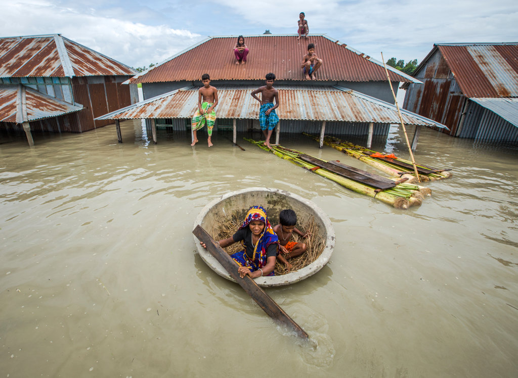


Sirajganj, Bangladesh
সিরাজগঞ্জ
Sirajganj is a town of 127,481 people in Rajshahi Division, Bangladesh, founded in 1984.
Why visit Sirajganj
Townapedia lists 2 museums and landmarks, 7 parks and trails, 5 places to eat, 4 places to stay and 1 attraction in and around town.
Highlights include Elliott Bridge.
Weather in Sirajganj
Forecast from MET Norway (CC BY 4.0). Full forecast
About Sirajganj
Sirajganj is a city in north-western Bangladesh on the right bank of the Jamuna River, located in Rajshahi Division. It is the administrative headquarters of Sirajganj District and Sirajganj Sadar Upazila.
From the Wikipedia article Sirajganj (this version), under CC BY-SA 4.0.
Things to do1

Museums and landmarks2
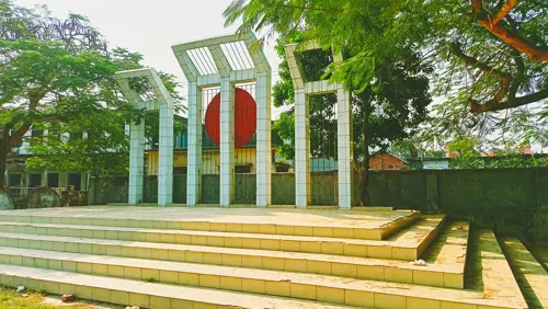



Parks, trails and playgrounds7



Restaurants and cafes5

Bonolota Coffee Shop & Restaurant
Restaurant · Burger, Coffee Shop, Chicken, Sandwich, Fish And Chips, Fish, Thai, Juice, Hot Dog, Cake, Salad, Dessert
স্টেশন রোড, Sirajganj
10:00-23:00
Food Care Plus
Restaurant · Kebab, Burger, Coffee Shop, Chicken, Fish And Chips · 1.0 km
Jublee Road, Sirajganj
Mo-Su 06:00-23:59
Subrata Sweets
Restaurant · Regional, Coffee Shop, Indian, Asian
Station Road, Sirajganj
Mo-Su 07:00-22:00
Hotel Jalil & Doi Ghor
Restaurant · Coffee Shop, Kebab, Chicken, Fish And Chips · 1.0 km
Jublee Road, Sirajganj
Mo-Su 06:00-22:00
History
During British rule, Sirajganj was a town in the Pabna District of Eastern Bengal and Assam. Its location on the right bank of the Jamuna River or main stream of the Brahmaputra was a six-hour journey by steamer from the railway terminal at Goalundo. It was the chief river mart for jute in northern Bengal, with several jute presses. The jute mills were closed after the 1897 Assam earthquake. The population according to the 1901 census of India was 23,114.
From the History section of Sirajganj on Wikipedia, under CC BY-SA 4.0.
Where to stay4
Churches and places of worship5
Sirajganj Central Jame Mosque
Place of worship · Sunni
- S. S. Raod (Monohari Pattry, Sirajganj
Shopping2
Schools, colleges and libraries11
Healthcare5
Map of Sirajganj
42 places. The map loads OpenStreetMap tiles when you open it.
Getting there and nearby towns
Ishwardi Airport (IRD) is the nearest airport with scheduled flights listed in OpenStreetMap, 75 km away.
- Tangail 31 km southeast, about 31 min by car
- Shāhzādpur 33 km south, about 33 min by car
- Sarishābāri 35 km north, about 35 min by car
- Bera 43 km south, about 43 min by car
- Nāgarpur 48 km south, about 48 min by car
- Sakhipur 49 km east, about 49 min by car
- Bogura 55 km northwest, about 55 min by car
- Jamālpur 57 km northeast, about 57 min by car
- Mirzāpur 56 km southeast, about 56 min by car
- Gazipur 89 km southeast, about 1 h 30 min by car
Drive times are estimates from straight-line distance, not routes.
Local news
Headlines from INDB.
Reviews, tips and questions
Loading what members have shared...
Sources and licences
- GeoNames (CC BY 4.0): population, coordinates, regions and time zone
- OpenStreetMap contributors (ODbL 1.0): places, airports, map data
- Openverse (see each image): photos
- Wikidata (CC0 1.0): elevation, founding date, time zone, website, landmarks and historic places
- Wikimedia Commons (see each image): photos
- Wikipedia (CC BY-SA 4.0): overview and history text
Photo credits
- Flooding in Sirajganj 2020 (52423722318), Oregon State University, CC BY-SA 2.0
- A moment of at sirajganj crossbar 3, Sharifmoskatg, CC BY-SA 4.0
- Sirajganj, Bangladesh - panoramio, arian kabir, CC BY-SA 3.0
- যমুনার জীর্ণদশা, NahidHasan18, CC BY-SA 4.0
- Jamuna Railway Bridge (3), মোঃ সাকিবুল হাসান, CC BY 4.0
- স্বেচ্ছাসেবক বৃন্ধ, Haidar.srj, CC BY-SA 4.0
- রক্তদানে সিরাজগঞ্জের স্বেচ্ছাসেবকবৃন্ধ, Haidar.srj, CC BY-SA 4.0
- Lighted Tree, Navid Nowroz, CC BY-SA 4.0
- STARTING OF A NEW LIFE, Raihanhabib39, CC BY-SA 4.0
- ভাস্কর্য ‘মুক্তির সংগ্রাম, Md Joni Hossain, CC BY-SA 4.0
- হার্ডপয়েন্ট সিরাজগঞ্জ ১, Md Joni Hossain, CC BY-SA 4.0
- Central Shaheed Minar, Shahjadpur Upazilla, Sirajganj district, Bangladesh, kbsBD, CC BY-SA 2.0


Page built November 4, 2026. Spotted a mistake? Tell us or suggest a place.