



Find your next small-town trip
Guides to towns, built from open data: places to see, eat and stay, history, weather, maps and what members say. Every fact names its source.
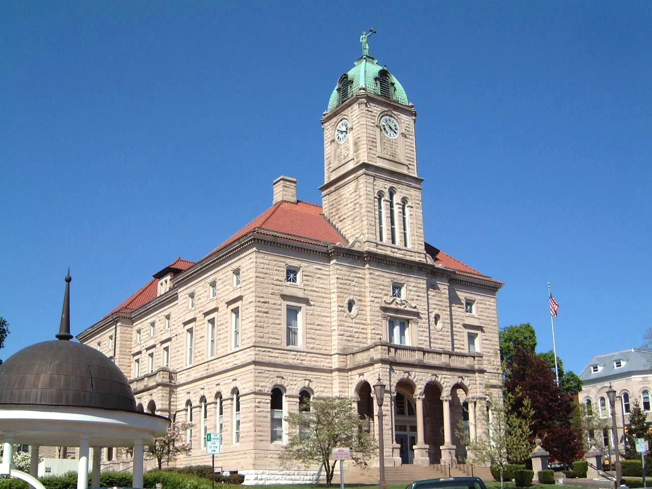
- Romney, West Virginia · photo Justin A. Wilcox from Washington,..., CC BY-SA 2.0
- North Richland Hills, Texas · photo Smarty9108, CC BY-SA 4.0
- Llano, Texas · photo Larry D. Moore, CC BY 4.0
- Occoquan, Virginia · photo User:AlbertHerring, CC BY 3.0
- Harrisonburg, Virginia · photo Alma mater, CC BY-SA 3.0
- Sun Prairie, Wisconsin · photo User:Royalbroil, CC BY-SA 2.5
Near you
Featured today chosen fresh each day
 Winthrop TownMA · pop. 18,759
Lighthouse towns
 HannibalMO · pop. 16,771
Lighthouse towns
 Battle CreekMI · pop. 52,374
Fall colour towns
 LehiUT · pop. 85,173
Lighthouse towns
 Green BayWI · pop. 106,253
Fall colour towns
 Grand PrairieTX · pop. 201,883
Historic towns
 AcworthGA · pop. 22,473
Popular with members
 MesquiteTX · pop. 149,299
Popular with members
New town guides


What is in every town guide
Each guide brings together what a visitor needs in one page, and every section says where its facts came from.
Things to do
Museums, landmarks, historic sites, parks, trails, beaches and playgrounds, with a map.
Food and drink
Restaurants, cafes, bakeries, diners and bars, from OpenStreetMap.
Where to stay
Hotels, motels, inns, campgrounds and RV parks in and around town.
Shops and services
Shopping, gas and EV charging, healthcare, schools, colleges and libraries.
Weather and climate
The live forecast from the National Weather Service and month-by-month climate normals from NOAA.
History
How the town began and grew, from Wikipedia, with places on the National Register of Historic Places.
People and cost of living
Population, ages, income, home values and rents from the Census Bureau's American Community Survey.
Getting there
The nearest airport, nearby towns and how far they are, national parks close by and the county's disaster history.
Fall colour towns see all
Small towns in the north woods, New England and the Appalachians with parks and trails close by.


Lighthouse towns see all
Towns with a lighthouse.


Historic towns see all
Towns with several places on the National Register of Historic Places or a historic district.


Find a town by what you like
Plan a road trip
Save the towns you want to see, line them up into a trip with driving distances between stops, and mark each town on your travel map once you have been there. Badges follow your map, from your first stop to all fifty states.
Share what you know
Locals and travellers can review places, leave tips, ask and answer questions and add photos. A free NEMICO account is all it takes.
Where the facts come from
Townapedia does not make things up and does not copy travel sites. Each town page lists its sources and their licences.
- US Census Bureau
- Town boundaries, ZIP codes, population, ages, income, housing and commuting (American Community Survey).
- OpenStreetMap
- Restaurants, shops, lodging, parks, trails, beaches and other places, mapped by volunteers (ODbL).
- Wikipedia and Wikidata
- Town history, founding dates, elevation, landmarks and links (CC BY-SA, CC0).
- Wikimedia Commons
- Freely licensed photos, each credited to its author.
- NOAA and the National Weather Service
- Climate normals for 1991 to 2020 and the live forecast.
- FEMA
- Federal disaster declarations for the county.
- National Center for Education Statistics
- Public schools and their locations.
- National Park Service and EIA
- National parks nearby, and the weekly regular gas price for the region.
Questions
Where does Townapedia get its facts?
From public, open sources: the US Census Bureau for population, income and housing, OpenStreetMap for restaurants, shops, parks and other places, Wikipedia and Wikidata for history and landmarks, NOAA for climate, FEMA for disaster history, the National Center for Education Statistics for schools and the National Park Service for parks. Each town page lists the sources it used and their licences.
Why does a town not have a page yet?
A town gets a page only when there is enough real information to make it worth reading: at least 8 facts and 6 places with details. Townapedia builds new towns every day, the biggest first, and checks each town again every month.
How are the towns on this page chosen?
The photos at the top come from published towns at random. Featured towns change every day and follow the season, and collections such as lake towns or historic towns are chosen from what each town actually has.
Can I add a photo, a tip or a correction?
Yes. Sign in with a free NEMICO account to review places, add tips, answer questions and share photos. Corrections to the underlying data are best made at the source, such as OpenStreetMap, and Townapedia picks them up at the next refresh.
Is Townapedia free?
Yes. Every town guide is free to read, with no paywall and no account needed.
Browse by state
- Alabama 290 towns
- Alaska 69 towns
- Arizona 188 towns
- Arkansas 224 towns
- California 1,087 towns
- Colorado 250 towns
- Connecticut 184 towns
- Delaware 61 towns
- District of Columbia 1 town
- Florida 786 towns
- Georgia 370 towns
- Hawaii 128 towns
- Idaho 110 towns
- Illinois 703 towns
- Indiana 344 towns
- Iowa 283 towns
- Kansas 181 towns
- Kentucky 289 towns
- Louisiana 254 towns
- Maine 123 towns
- Maryland 368 towns
- Massachusetts 237 towns
- Michigan 493 towns
- Minnesota 375 towns
- Mississippi 155 towns
- Missouri 381 towns
- Montana 115 towns
- Nebraska 142 towns
- Nevada 65 towns
- New Hampshire 74 towns
- New Jersey 599 towns
- New Mexico 180 towns
- New York 975 towns
- North Carolina 527 towns
- North Dakota 63 towns
- Ohio 749 towns
- Oklahoma 222 towns
- Oregon 242 towns
- Pennsylvania 1,223 towns
- Rhode Island 29 towns
- South Carolina 283 towns
- South Dakota 96 towns
- Tennessee 310 towns
- Texas 1,021 towns
- Utah 191 towns
- Vermont 69 towns
- Virginia 443 towns
- Washington 436 towns
- West Virginia 185 towns
- Wisconsin 429 towns
- Wyoming 70 towns
Townapedia has 17,483 town guides out of 96,438 places. A town gets a page once there is enough real information about it. About Townapedia