
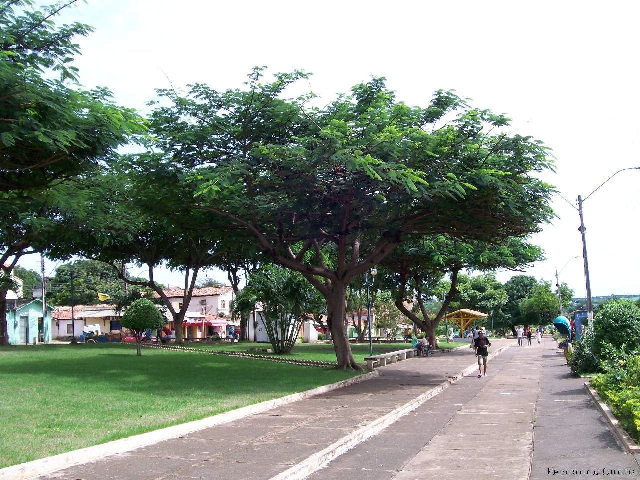


Why visit Açailândia
Townapedia lists 12 parks and trails, 1 place to eat and 3 places to stay in and around town.
Highlights include Estádio Municipal Pedro Maranhão.
Weather in Açailândia
Forecast from MET Norway (CC BY 4.0). Full forecast
About Açailândia
Açailândia (Portuguese pronunciation: [asa.iˈlɐ̃dʒiɐ]) is a Brazilian municipality in the western part of Maranhão State, at an elevation of 787 feet (240 m). Its population in 2022 Census was estimated to be 106,550, making it the eighth largest city in the state. The name of the city means "land of the açaí."
From the Wikipedia article Açailândia (this version), under CC BY-SA 4.0.
Travel tips from other travellers: Açailândia on Wikivoyage (CC BY-SA 4.0).
Parks, trails and playgrounds12

Complexo Esportivo Bahiano
Sports field and stadium · 4.6 km
648 R. Dezoito, Açailândia

Restaurants and cafes1

Where to stay3

Churches and places of worship6

A Igreja de Jesus Cristo dos Santos dos Últimos Dias
Church · Mormon · 1.2 km
Rua Santos Dumont, Açailândia

Igreja Atos da Restauração
Place of worship · 4.7 km
482 R. Vinte e Quatro, Açailândia
Paróquia São Sebastiã
Church · 4.9 km
Quadra 71 Lote 171 R. Vinte e Seis, Açailândia, Açailândia
Shopping2
Gas and EV charging4
Schools, colleges and libraries67
APAE - Centro Educacional Dr. Edilson Caridade
School · 2.0 km
342 Rua da Providência, Açailândia
Centro de Ensino Mary Dalva Castro Rocha
School · 2.2 km
88 Avenida Radial Leste, Açailândia
Centro de Ensino Professor José Cesário da Silva
School · 4.0 km
SN Avenida Congonhas, Açailândia
Centro de Ensino Professora Norma Suely Mendes
School
1218 Rua 21 de Abril, Açailândia
Centro Educa Mais Professor Guilherme Antônio Barbosa Maciel
School · 2.1 km
56 Rua Raimundo Pimentel 1, Açailândia
Centro Educacional Santa Clara
School · 0.7 km
2 Avenida Jose Reinaldo Tavares, Açailândia
Healthcare1
Map of Açailândia
96 places. The map loads OpenStreetMap tiles when you open it.
Getting there and nearby towns
Prefeito Renato Moreira Airport (IMP) is the nearest airport with scheduled flights listed in OpenStreetMap, 65 km away.
- São Francisco do Brejão 24 km southeast, about 24 min by car
- Cidelândia 40 km southwest, about 40 min by car
- Itinga do Maranhão 55 km north, about 55 min by car
- João Lisboa 57 km south, about 57 min by car
- Senador La Rocque 60 km southeast, about 1 h by car
- Praia Norte 60 km southwest, about 1 h by car
- Sampaio 60 km southwest, about 1 h by car
- Imperatriz 64 km south, about 1 h by car
- Rondon do Pará 65 km west, about 1 h by car
- Davinópolis 66 km south, about 1 h by car
Drive times are estimates from straight-line distance, not routes.
Local news
Headlines from INDB.
Reviews, tips and questions
Loading what members have shared...
Sources and licences
- GeoNames (CC BY 4.0): population, coordinates, regions and time zone
- OpenStreetMap contributors (ODbL 1.0): places, airports, map data
- Wikidata (CC0 1.0): elevation, founding date, time zone, website
- Wikimedia Commons (see each image): photos
- Wikipedia (CC BY-SA 4.0): overview and history text
Photo credits
- Acailandia 2, Nando cunha, CC BY 3.0
- Estrada de ferro carajás - panoramio, Roberto de vasconcel…, CC BY-SA 3.0
- AÇAILANDIA MA - panoramio, Roberto de vasconcel…, CC BY-SA 3.0
- Açailandia banner, Roberto de vasconcel…, CC BY-SA 3.0
- Açailandia-estrada de ferro carajás - panoramio, Roberto de vasconcel…, CC BY-SA 3.0
- Ortalis superciliaris 440337364, Christoph Moning, CC BY 4.0
- Crypturellus parvirostris 442521480, Christoph Moning, CC BY 4.0
- ISS042-E-245661 - View of Earth, Earth Science and Remote Sensing Unit , Lyndon B. Johnson Space Center, Public domain
- ISS042-E-250696 - View of Earth, Earth Science and Remote Sensing Unit , Lyndon B. Johnson Space Center, Public domain
- ISS042-E-250697 - View of Earth, Earth Science and Remote Sensing Unit , Lyndon B. Johnson Space Center, Public domain
- ISS042-E-245662 - View of Earth, Earth Science and Remote Sensing Unit , Lyndon B. Johnson Space Center, Public domain
- Sapphire-rumped parrotlet (Touit purpuratus) (cropped), Christoph Moning, CC BY 4.0
- Sapphire-rumped parrotlet (Touit purpuratus), Christoph Moning, CC BY 4.0
- Cuspidaria lachnaea, Christoph Moning, CC BY 4.0
- ISS042-E-250694 - View of Earth, Earth Science and Remote Sensing Unit , Lyndon B. Johnson Space Center, Public domain
- ISS042-E-245659 - View of Earth, Earth Science and Remote Sensing Unit , Lyndon B. Johnson Space Center, Public domain
- ISS042-E-245660 - View of Earth, Earth Science and Remote Sensing Unit , Lyndon B. Johnson Space Center, Public domain
- ISS042-E-250695 - View of Earth, Earth Science and Remote Sensing Unit , Lyndon B. Johnson Space Center, Public domain


Page built November 3, 2026. Spotted a mistake? Tell us or suggest a place.