
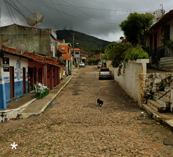


Why visit Meruoca
Townapedia lists 1 park or trail, 4 places to eat, 2 places to stay and 1 attraction in and around town.
Weather in Meruoca
Forecast from MET Norway (CC BY 4.0). Full forecast
About Meruoca
Meruoca is a Brazilian municipality in the state of Ceará . Its estimated population on 07/01/2019 is 15,057 inhabitants. From its lands spring crystal-clear waters that sometimes flow across the relief in splendid waterfalls and "enchanting" waterfalls and that, at other times, pass through patient and sliding granites, sculpting them. With the approval of State Complementary Law No.
From the Wikipedia article Meruoca (this version), under CC BY-SA 4.0.
Things to do1

Parks, trails and playgrounds1

Restaurants and cafes4

Tasca do Chef
Restaurant · Portuguese · 8.2 km
We-Th 19:00-23:30; Fr 19:00-00:00; Sa 12:00-15:00, 19:00-00:00; Su...

Where to stay2

History
The unclassified extinct Arariú language was spoken around Meruoca on the Acatajú River.
From the History section of Meruoca on Wikipedia, under CC BY-SA 4.0.
Churches and places of worship2
Schools, colleges and libraries2
Healthcare4
Map of Meruoca
16 places. The map loads OpenStreetMap tiles when you open it.
Getting there and nearby towns
Aeroporto Regional de Sobral (JSO) is the nearest airport with scheduled flights listed in OpenStreetMap, 25 km away.
- Alcântaras 11 km southwest, about 11 min by car
- Massapê 13 km east, about 13 min by car
- Sobral 20 km southeast, about 20 min by car
- Senador Sá 21 km north, about 21 min by car
- Coreaú 22 km west, about 22 min by car
- Moraújo 26 km west, about 26 min by car
- Uruoca 28 km northwest, about 28 min by car
- Santana do Acaraú 28 km east, about 28 min by car
- Forquilha 36 km southeast, about 36 min by car
- Mucambo 52 km southwest, about 52 min by car
Drive times are estimates from straight-line distance, not routes.
Local news
Headlines from INDB.
Reviews, tips and questions
Loading what members have shared...
Sources and licences
- GeoNames (CC BY 4.0): population, coordinates, regions and time zone
- OpenStreetMap contributors (ODbL 1.0): places, airports, map data
- Wikidata (CC0 1.0): elevation, founding date, time zone, website
- Wikimedia Commons (see each image): photos
- Wikipedia (CC BY-SA 4.0): overview and history text
Photo credits
- Distrito de Palestina (Judéia), Josscelio ximenes, CC0
- Palmeiras Meruoca Ce - panoramio, Claudio Oliveira Lim…, CC BY-SA 3.0
- Tabocas Meruoca - panoramio, Claudio Oliveira Lim…, CC BY-SA 3.0
- Meruoca Ce - panoramio, Claudio Oliveira Lim…, CC BY-SA 3.0
- Caligo teucer 266366694, Romilson Silva Lopes Junior, CC BY 4.0
- Amasonia campestris 257717650, Átila Almeida, CC BY 4.0
- ISS020-E-41119 - View of Earth, Earth Science and Remote Sensing Unit , Lyndon B. Johnson Space Center, Public domain

Page built November 3, 2026. Spotted a mistake? Tell us or suggest a place.