




Loading the weather...
Population81,524
GeoNames
RegionCeará
Elevation72 m
236 ft
Time zoneAmerica/Fortaleza
Nearest airportPinto Martins – Fortaleza International Airport (FOR)
25 km
Why visit Pacatuba
Townapedia lists 4 museums and landmarks, 8 parks and trails, 3 places to eat and 1 attraction in and around town.
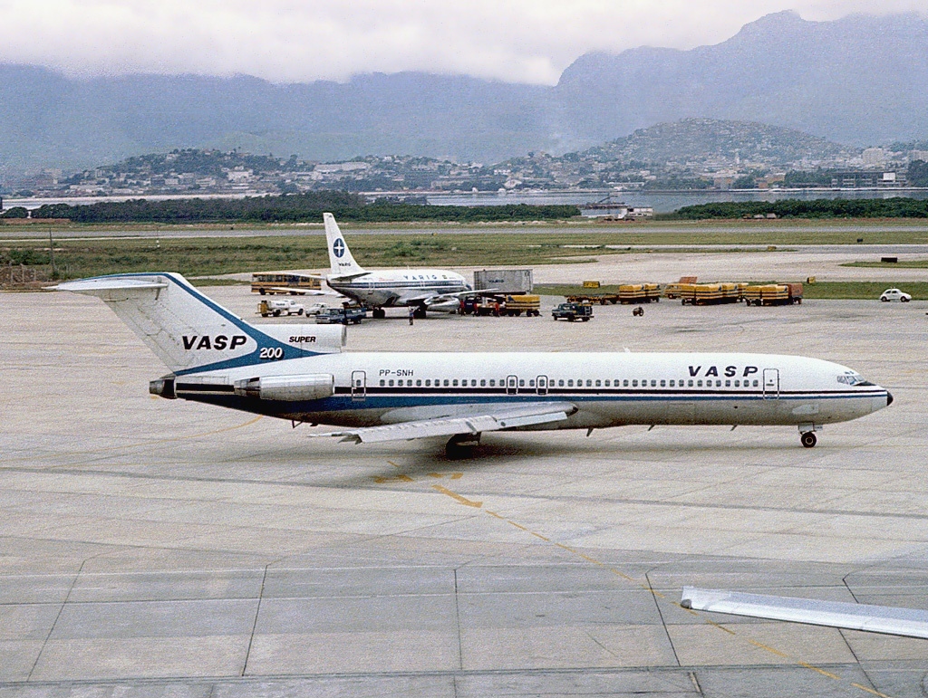
Highlights include Voo VASP 168 and Apoena Ecopark.
Weather in Pacatuba
Forecast from MET Norway (CC BY 4.0). Full forecast
Things to do1

Museums and landmarks4


Parks, trails and playgrounds8




Advertisement
Restaurants and cafes3



Churches and places of worship2
Paróquia Nossa Senhora da Imaculada Conceição
Church · Roman Catholic
Rua Carlos da Costa Carmo
Shopping4
Advertisement
Gas and EV charging1
Schools, colleges and libraries1
Healthcare2
Advertisement
Map of Pacatuba
26 places. The map loads OpenStreetMap tiles when you open it.
Getting there and nearby towns
Pinto Martins – Fortaleza International Airport (FOR) is the nearest airport with scheduled flights listed in OpenStreetMap, 25 km away.
- Guaiúba 6 km south, about 6 min by car
- Itaitinga 10 km east, about 10 min by car
- Maracanaú 12 km north, about 12 min by car
- Maranguape 13 km northwest, about 13 min by car
- Horizonte 20 km southeast, about 20 min by car
- Eusébio 22 km northeast, about 22 min by car
- Caucaia 28 km north, about 28 min by car
- Aquiraz 27 km east, about 27 min by car
- Pacajus 27 km southeast, about 27 min by car
- Fortaleza 31 km north, about 31 min by car
Drive times are estimates from straight-line distance, not routes.
Local news
Headlines from INDB.
Reviews, tips and questions
Loading what members have shared...
Sources and licences
- GeoNames (CC BY 4.0): population, coordinates, regions and time zone
- OpenStreetMap contributors (ODbL 1.0): places, airports, map data
- Wikidata (CC0 1.0): elevation, founding date, time zone, website
- Wikimedia Commons (see each image): photos
Photo credits
- Quartzolit Pacatuba, Porto Neto, CC BY-SA 4.0
- Heliconia psittacorum em Pacatuba-CE, Joelkaula, CC BY-SA 4.0
- Unidade Prisional em Pacatuba, Porto Neto, CC BY-SA 4.0
- Boeing 727-2A1-Adv, VASP AN0486410, Pedro Aragão, CC BY-SA 3.0
- Serra da Aratanha 18, Joelkaula, CC BY-SA 4.0
- Serra da Aratanha 01, Joelkaula, CC BY-SA 4.0
- Serra da Aratanha 19, Joelkaula, CC BY-SA 4.0
- Serra da Aratanha 17, Joelkaula, CC BY-SA 4.0
- Serra da Aratanha 16, Joelkaula, CC BY-SA 4.0
- Eriophora edax 263265657, Célio Moura Neto, CC BY 4.0
- Iridopelma hirsutum 263266316, Célio Moura Neto, CC BY 4.0
- Eriophora edax 263285814, Célio Moura Neto, CC BY 4.0
- Eriophora edax 263265686, Célio Moura Neto, CC BY 4.0
- Iridopelma hirsutum 263266296, Célio Moura Neto, CC BY 4.0
- Eriophora edax 263285657, Célio Moura Neto, CC BY 4.0
- Eriophora edax 263285215, Célio Moura Neto, CC BY 4.0
- Iridopelma hirsutum 254356309, Célio Moura Neto, CC BY 4.0
- Serra da Aratanha 11, Joelkaula, CC BY-SA 4.0
- Serra da Aratanha 12, Joelkaula, CC BY-SA 4.0
- Serra da Aratanha 10, Joelkaula, CC BY-SA 4.0
- Serra da Aratanha 14, Joelkaula, CC BY-SA 4.0
- Serra da Aratanha 13, Joelkaula, CC BY-SA 4.0
- Serra da Aratanha 15, Joelkaula, CC BY-SA 4.0
- Serra da Aratanha 20, Joelkaula, CC BY-SA 4.0
- Serra da Aratanha 06, Joelkaula, CC BY-SA 4.0
- Serra da Aratanha 07, Joelkaula, CC BY-SA 4.0
- Serra da Aratanha 09, Joelkaula, CC BY-SA 4.0
- Serra da Aratanha 08, Joelkaula, CC BY-SA 4.0
- Serra da Aratanha 04, Joelkaula, CC BY-SA 4.0
- Serra da Aratanha 02, Joelkaula, CC BY-SA 4.0
- Serra da Aratanha 05, Joelkaula, CC BY-SA 4.0
- Serra da Aratanha 03, Joelkaula, CC BY-SA 4.0


Page built November 3, 2026. Spotted a mistake? Tell us or suggest a place.