


Why visit Sobradinho
Townapedia lists 4 parks and trails, 3 places to eat, 2 places to stay and 1 attraction in and around town.
Weather in Sobradinho
Forecast from MET Norway (CC BY 4.0). Full forecast
About Sobradinho
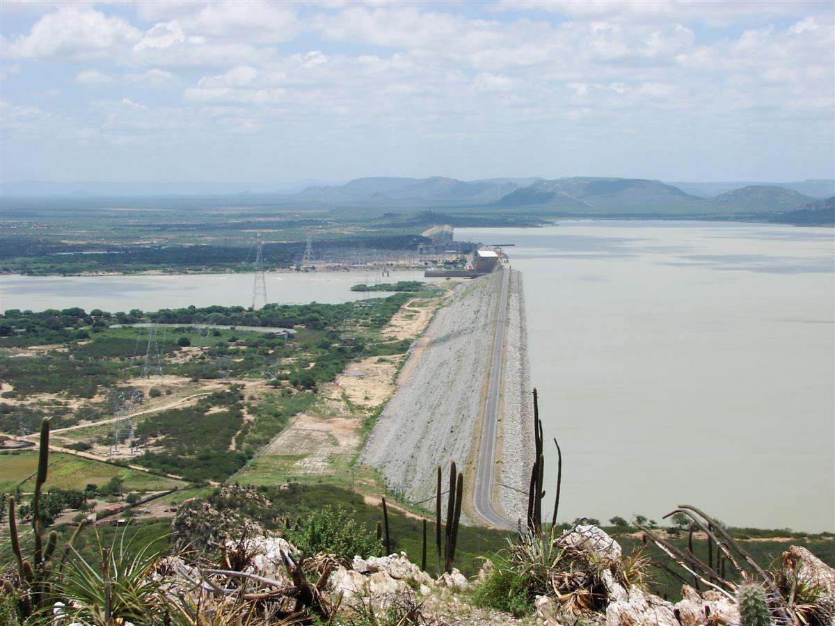
Sobradinho (Portuguese pronunciation: [subɾɐˈdʒĩɲu]) is a municipality in the state of Bahia, in Brazil. It has a population of approximately 23,233 with a land area of 1,238.9 km2 (478.3 mi2). Once part of the municipality of Juazeiro it grew with the construction of the Sobradinho Dam and the flooding of the huge Sobradinho Reservoir. With the creation of the reservoir, the inhabitants of four cities and thirty villages had to leave their homes.
From the Wikipedia article Sobradinho, Bahia (this version), under CC BY-SA 4.0.
Things to do1

Parks, trails and playgrounds4



Restaurants and cafes3


Where to stay2

Churches and places of worship9
Shopping8
Schools, colleges and libraries17
Escola Municipal Felix Manoel Dos Santos
School · 8.3 km
S/N Vila Povoado De Tapera, Petrolina - PE
Escola Municipal Paulo Freire
School · 8.0 km
S/N Fazenda Povoado De Junco, Juazeiro - BA
Escola Municipal Professor Ricardo Rodrigues De Miranda
School · 13.3 km
S/N Vila Povoado De Caatinguinha, Petrolina - PE
Escola Municipal Vereador Amadeus Damasio
School · 13.5 km
S/N Asentamento Sao Francisco Sao Goncalo, Juazeiro - BA
Unidade De Acolhimento A Crianca Do Programa Nova Semente Maria Luisa Nogueira Ferreira Da Silva
School · 8.8 km
Avenida Principal, 522 Agrovila Tapera. Tapera., Petrolina - PE
Unidade De Acolhimento A Crianca Do Programa Nova Semente Santa Terezinha Do Menino Jesus
School · 11.8 km
Agrovila Sitio Sao Joao, S/N Estrada Da Tapera. Zona Ruaral., Petrolina - PE
Healthcare3
Map of Sobradinho
47 places. The map loads OpenStreetMap tiles when you open it.
Getting there and nearby towns
Petrolina Airport (PNZ) is the nearest airport with scheduled flights listed in OpenStreetMap, 28 km away.
- Sobrado 20 km north, about 20 min by car
- Petrolina 34 km east, about 34 min by car
- Juazeiro 34 km east, about 34 min by car
- Casa Nova 38 km northwest, about 38 min by car
- Lagoa Grande 79 km northeast, about 1 h 15 min by car
- Laje 81 km south, about 1 h 15 min by car
Drive times are estimates from straight-line distance, not routes.
Local news
Headlines from INDB.
Reviews, tips and questions
Loading what members have shared...
Sources and licences
- GeoNames (CC BY 4.0): population, coordinates, regions and time zone
- OpenStreetMap contributors (ODbL 1.0): places, airports, map data
- Wikidata (CC0 1.0): elevation, founding date, time zone, website
- Wikimedia Commons (see each image): photos
- Wikipedia (CC BY-SA 4.0): overview and history text
Photo credits
- Barragem de Sobradinho-BA, Glauco Umbelino from Moro em Belo Horizonte, Brasil, CC BY 2.0
- Barragem de Sobradinho-BAHIA, Bruno Pinho, CC BY 2.0
- Sobradinho - State of Bahia, Brazil - panoramio (2), ricardobc, CC BY 3.0
- Sobradinho - State of Bahia, Brazil - panoramio (9), ricardobc, CC BY 3.0
- Sobradinho - State of Bahia, Brazil - panoramio (3), ricardobc, CC BY 3.0
- Sobradinho - State of Bahia, Brazil - panoramio (8), ricardobc, CC BY 3.0
- Sobradinho - State of Bahia, Brazil - panoramio (1), ricardobc, CC BY 3.0
- Pôr do Sol - Sunset (11490569803), A. Duarte, CC BY-SA 2.0


Page built November 3, 2026. Spotted a mistake? Tell us or suggest a place.