


Beni, Democratic Republic of the Congo
Beni is a city of 140,731 people in North Kivu, Democratic Republic of the Congo.
Why visit Beni
Townapedia lists 4 museums and landmarks, 2 parks and trails, 38 places to eat and 42 places to stay in and around town.
Weather in Beni
Forecast from MET Norway (CC BY 4.0). Full forecast
About Beni
Beni is a city in north eastern Democratic Republic of the Congo, lying immediately west of the Virunga National Park and the Rwenzori Mountains, on the edge of the Ituri Forest.
From the Wikipedia article Beni, Democratic Republic of the Congo (this version), under CC BY-SA 4.0.
Museums and landmarks4


Parks, trails and playgrounds2


Restaurants and cafes38
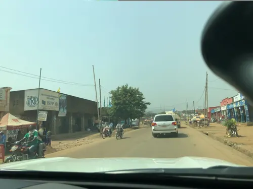



26 more on the map.
Where to stay42
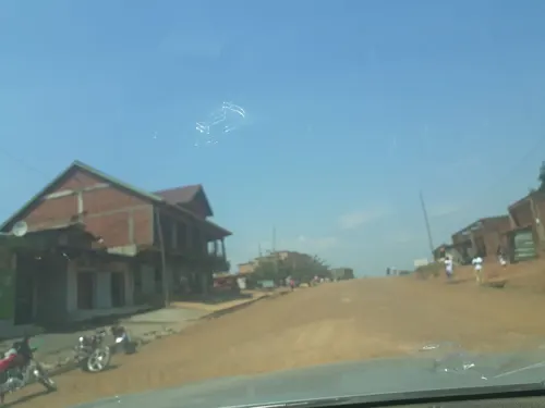



30 more on the map.
History
The town was the scene of fierce fighting in the Second Congo War around 2001. Beni also has many MONUC bases; elements of the Indian-led North Kivu Brigade are based in the town.
Between October 2014 and May 2016 over 500 people died in a series of attacks on Beni and its surrounding area that have been attributed to Ugandan Islamist rebels. The Beni massacre occurred here in August 2016.
As of December 2018 Beni has been subject to over 200 cases of Ebola virus disease (EVD) according to the World Health Organization. Beni is near Mangina, the epicenter of the 2018–19 Kivu Ebola outbreak.
On the third of June 2019 an attack in the city killed or wounded 25 people. ISIL claimed responsibility shortly afterwards.
In 2020, Allied Democratic Forces (ADF) rebels reportedly orchestrated a prison escape from the Kangbayi prison, and they killed and in many cases beheaded 25 people in the village of Tingwe. The rebels have been accused of 800 deaths.
In 2023, the Makugwe massacre happened in a nearby village. Beni became the temporary provincial capital of North Kivu following the capture of Goma in 2025 by the March 23 Movement.
The 2026 Ebola epidemic struck Beni on 29 May 2026, when confirmed cases were reported in the city, which was an epicentre of the Kivu Ebola epidemic.
From the History section of Beni, Democratic Republic of the Congo on Wikipedia, under CC BY-SA 4.0.
Churches and places of worship94
Shopping15
Gas and EV charging9
Schools, colleges and libraries96
Healthcare57
Map of Beni
250 places. The map loads OpenStreetMap tiles when you open it.
Getting there and nearby towns
Mavivi Airport (BNC) is the nearest airport with scheduled flights listed in OpenStreetMap, 10 km away.
- Mangina 22 km northwest, about 22 min by car
- Hyosha 24 km north, about 24 min by car
- Butembo 44 km southwest, about 44 min by car
- Katwa 48 km south, about 48 min by car
- Lubero 77 km south, about 1 h 15 min by car
Drive times are estimates from straight-line distance, not routes.
Local news
Headlines from INDB.
Reviews, tips and questions
Loading what members have shared...
Sources and licences
- GeoNames (CC BY 4.0): population, coordinates, regions and time zone
- Mapillary (see each image): photos
- OpenStreetMap contributors (ODbL 1.0): places, airports, map data
- Wikidata (CC0 1.0): elevation, founding date, time zone, website, landmarks and historic places
- Wikimedia Commons (see each image): photos
- Wikipedia (CC BY-SA 4.0): overview and history text
Photo credits
- Route principale de Beni, Razdagger, CC BY-SA 3.0
- Heliocopris colossus Bates, 1868 male (3052104815), Udo Schmidt from Deutschland, CC BY-SA 2.0
- Heliocopris colossus Bates, 1868 male (3052932016) (2), Udo Schmidt from Deutschland, CC BY-SA 2.0
- Street-level photo, peltiern, CC BY-SA 4.0
- Street-level photo, peltiern, CC BY-SA 4.0
- Street-level photo, paulkitabi, CC BY-SA 4.0
- Street-level photo, noelngore, CC BY-SA 4.0
- Street-level photo, peltiern, CC BY-SA 4.0
- Street-level photo, peltiern, CC BY-SA 4.0
- Street-level photo, peltiern, CC BY-SA 4.0
- Street-level photo, peltiern, CC BY-SA 4.0
Page built November 8, 2026. Spotted a mistake? Tell us or suggest a place.