


Goma, Democratic Republic of the Congo
Goma is a regional capital of 78,200 people in North Kivu, Democratic Republic of the Congo.
Why visit Goma
Townapedia lists 3 museums and landmarks, 2 parks and trails, 59 places to eat, 52 places to stay and 1 attraction in and around town.
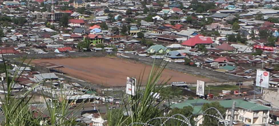
Highlights include Institut Français and Stade de l'Unité.
Weather in Goma
Forecast from MET Norway (CC BY 4.0). Full forecast
About Goma
Goma is the capital and largest city of the North Kivu province of the Democratic Republic of the Congo. It is located in the east of the country on the northern shore of Lake Kivu and shares borders with the Bukumu Chiefdom to the north, Rwanda to the east and the Masisi Territory to the west. The city lies in the Albertine Rift, the western branch of the East African Rift, and is only 13–18 km (8.1–11.2 mi) south of the active volcano Mount Nyiragongo. With an approximate area of 75.72 km2 (29.24 sq mi), the city had a population of 782,000 people in 2024,
From the Wikipedia article Goma (this version), under CC BY-SA 4.0.
Travel tips from other travellers: Goma on Wikivoyage (CC BY-SA 4.0).
Things to do1

Museums and landmarks3

Parks, trails and playgrounds2

Restaurants and cafes59
Top Five Garden
Restaurant · Burger, Pizza, Coffee Shop, Chicken, Seafood, Steak House, Barbecue, Dessert · 2.7 km
129 Rue Eugene Serufuli, Q.Himbi, Goma
24/7

MBM cafe
Restaurant · Fish And Chips, Chicken, Pizza, Kebab, Ice Cream · 5.1 km
379 Maimoto, Kyeshero
Mo-Su 08:00-22:00
Belladonna
Restaurant · Deli, African, Barbecue, Breakfast, Fine Dining, Sausage, Tea · 1.5 km
24/7

Ana Group
Restaurant · Coffee Shop, Crepe, African, French, Local, Tea, Deli, Ice Cream, Fish And Chips, Friture, Burger, Hotdog, Italian Pizza, Steak House, Pizza, Fish, Chicken, Fine Dining, Sandwich, Sausage · 1.1 km


47 more on the map.
History
The village of Ngoma was a port for lake traffic and a crossroads for the overland trade routes between Central Africa and the Indian Ocean. In 1894, the explorer Gustav Adolf von Götzen, following the footsteps of an earlier missionary, was traveling to Rwanda from the eastern coast of Africa and passed through the village, which he recorded as Goma. In 1906, officers of the Congo Free State established Goma post opposite Gisenyi as a military outpost to oversee maritime activities on Lake Kivu, which later transformed into a civil status office. Around 1930, the Goma precinct accommodated camps for laborers of the Eastern Railway (CFE), initially sited along Lake Kivu's eastern shores. By the mid-20th century, Goma had become an essential hub, and served as the endpoint of the Vici Congo road network and a port for the transshipment of agricultural commodities and building materials to and from Bukavu.
From the History section of Goma on Wikipedia, under CC BY-SA 4.0.
Where to stay52
Churches and places of worship75
Église Évangelique de la Restauration ERC
Church · Protestant · 1.3 km
Avenue des Ibis, Goma
Shopping11
Gas and EV charging9
Schools, colleges and libraries141
Healthcare109
Centre Medical Grand Samaritain
Hospital · 1.7 km
46 Virunga Avenue Sabinyo, Goma
Map of Goma
250 places. The map loads OpenStreetMap tiles when you open it.
Getting there and nearby towns
Goma International Airport (GOM) is the nearest airport with scheduled flights listed in OpenStreetMap, 1 km away.
- Sake 23 km northwest, about 23 min by car
- Rutshuru 59 km northeast, about 59 min by car
- Kirumba 65 km north, about 1 h by car
Drive times are estimates from straight-line distance, not routes.
Local news
Headlines from INDB.
Reviews, tips and questions
Loading what members have shared...
Sources and licences
- GeoNames (CC BY 4.0): population, coordinates, regions and time zone
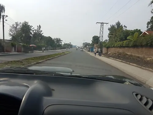
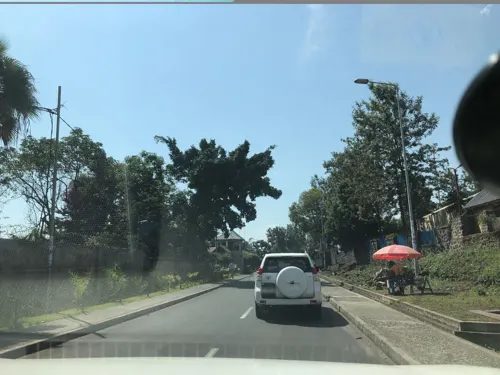
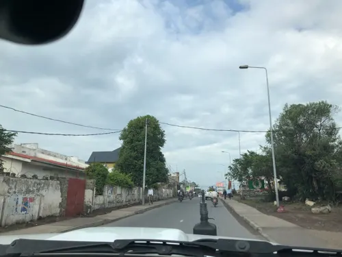
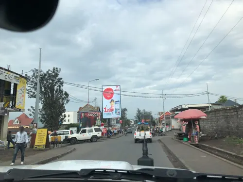
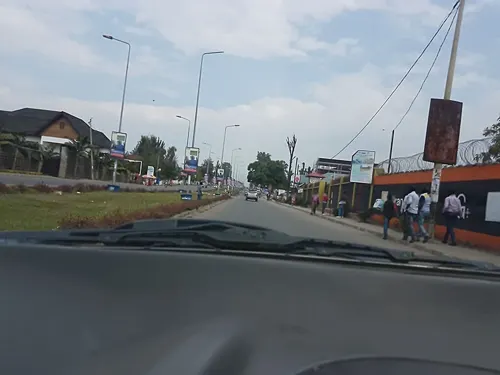
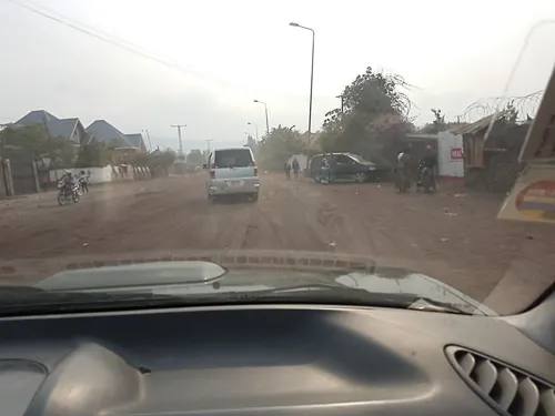
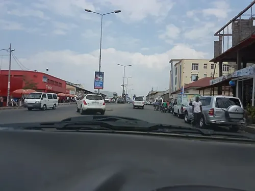
- Mapillary (see each image): photos
- OpenStreetMap contributors (ODbL 1.0): places, airports, map data
- Wikidata (CC0 1.0): elevation, founding date, time zone, website, landmarks and historic places
- Wikimedia Commons (see each image): photos
- Wikipedia (CC BY-SA 4.0): overview and history text
Photo credits
- Goma, Lake Kivu, DRC (Zaire - Congo), Photo by Sascha Grabow, Sascha Grabow www.saschagrabow.com, CC BY-SA 3.0
- Cathédrale de goma, WINEUR, CC BY-SA 4.0
- Rond-point shikudu de goma, Chroniqueur de Goma, CC BY-SA 4.0
- La façade principale de l'Institut supérieur de commerce (ISC GOMA), JUSCAR KARUBAMBA, CC0
- Profil gauche de l'Institut supérieur de commerce ISC GOMA, JUSCAR KARUBAMBA, CC0
- Institut supérieur de commerce ISC GOMA, JUSCAR KARUBAMBA, CC0
- Centre Médicaux Chirurgical de Goma, Delord Wayire, CC0
- Façade postérieure de l'Institut supérieur de commerce ISC GOMA, JUSCAR KARUBAMBA, CC0
- Profil droit de l'Institut supérieur de commerce ISC GOMA, JUSCAR KARUBAMBA, CC0
- Gaaki Goma fort, Gaaki Goma, CC BY-SA 4.0
- La lave à Goma, Fabrice Mwissa, CC BY-SA 4.0
- Bureau de l'ICCN GOMA, Dieulaisevambesa, CC BY-SA 4.0
- Monument symbole du Volcan Nyiragongo à Goma, Fabrice Mwissa, CC BY-SA 4.0
- Goma ville, Fiston bamela, CC0
- M23 withdrawl from Goma, Gabe Joselow, Public domain
- March 23 Movement rebel soldier leaving Goma, Gabe Joselow, Public domain
- M23 in Goma, VOA, Public domain
- ULPGL GOMA, Campus Moïse vue de devant, Patient Rwamigabo, CC0
- Université de Goma vue de face, Kaptainwiki, CC0
- Goma, Province du Nord Kivu, RD Congo - Le stade de l'Unité depuis les hauteurs du Mont Goma. (24243783210) (cropped), MONUSCO Photos, CC BY-SA 2.0
- Hôtel Serena de Goma, Dieulaisevambesa, CC BY-SA 4.0
- Hôpital Heal Africa vue de façade, Kaptainwiki, CC0
- Complexe Scolaire la Fontaine, Delord Wayire, CC0
- Complexe scolaire Kasimbi, Delord Wayire, CC0
- Complexe Scolaire Mama YETU, Delord Wayire, CC0
- Congolese people checking electoral lists during the 2023 general election (53427374317), MONUSCO Photos, CC BY-SA 2.0
- Congolese woman voting during the 2023 general election (53428624374), MONUSCO Photos, CC BY-SA 2.0
- Congolese people queuing to vote during the 2023 general election (53428306621), MONUSCO Photos, CC BY-SA 2.0
- Complexe Scolaire Mama Mulezi, Delord Wayire, CC0
- Congolese people queuing to vote during the 2023 general election (53427374207), MONUSCO Photos, CC BY-SA 2.0
- Institut MIKENO, Delord Wayire, CC0
- PXL 20230331 124851528, Lydie maliki, CC BY-SA 4.0
- PXL 20230713 092427848, Lydie maliki, CC BY-SA 4.0
- PXL 20230713 092346144, Lydie maliki, CC BY-SA 4.0
- Image naturel, Abigael wonder kamuha, CC BY-SA 4.0
- PXL 20221126 153524457.MP~2, Lydie maliki, CC BY-SA 4.0
- PXL 20221126 153538819, Lydie maliki, CC BY-SA 4.0
- Motorbike Transport in Africa Motorbike Taxis, Izzobae, CC BY-SA 4.0
- PXL 20221125 133918358~2, Lydie maliki, CC BY-SA 4.0
- Insitut CHEMCHEM, Delord Wayire, CC0
- Espace maman olive lembe himbi, Merci Kahubangwa, CC0
- Street-level photo, peltiern, CC BY-SA 4.0
- Street-level photo, peltiern, CC BY-SA 4.0
- Street-level photo, dielon, CC BY-SA 4.0
- Street-level photo, peltiern, CC BY-SA 4.0
- Street-level photo, peltiern, CC BY-SA 4.0
- Street-level photo, peltiern, CC BY-SA 4.0
- Street-level photo, dielon, CC BY-SA 4.0
- Street-level photo, dielon, CC BY-SA 4.0
- Street-level photo, dielon, CC BY-SA 4.0
- Street-level photo, peltiern, CC BY-SA 4.0
- Street-level photo, dielon, CC BY-SA 4.0
- Street-level photo, peltiern, CC BY-SA 4.0
- Street-level photo, peltiern, CC BY-SA 4.0
- Street-level photo, dielon, CC BY-SA 4.0
- Street-level photo, dielon, CC BY-SA 4.0
- Street-level photo, dielon, CC BY-SA 4.0
- Street-level photo, peltiern, CC BY-SA 4.0
- Street-level photo, jacquesbure, CC BY-SA 4.0


Page built November 8, 2026. Spotted a mistake? Tell us or suggest a place.