

Kalemie, Democratic Republic of the Congo
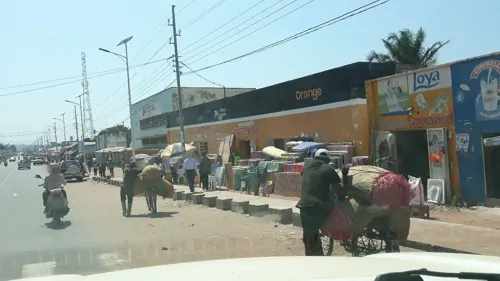
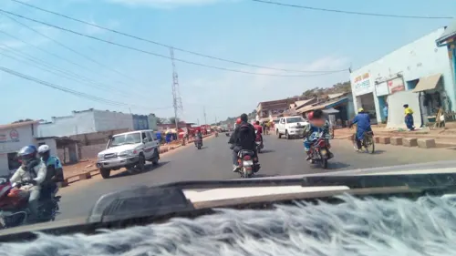
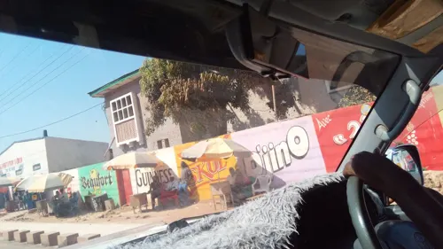
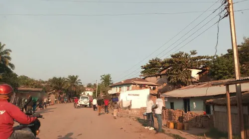
Kalemie is a city of 160,961 people in Tanganyika, Democratic Republic of the Congo.
Why visit Kalemie
Townapedia lists 1 museum or landmark, 6 places to eat and 2 places to stay in and around town.
Weather in Kalemie
Forecast from MET Norway (CC BY 4.0). Full forecast
About Kalemie
Kalemie, formerly Albertville or Albertstad, is a city on the western shore of Lake Tanganyika in the Democratic Republic of the Congo.
From the Wikipedia article Kalemie (this version), under CC BY-SA 4.0.
Travel tips from other travellers: Kalemie on Wikivoyage (CC BY-SA 4.0).
Museums and landmarks1

Restaurants and cafes6

Where to stay2
Churches and places of worship4
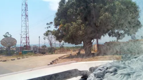
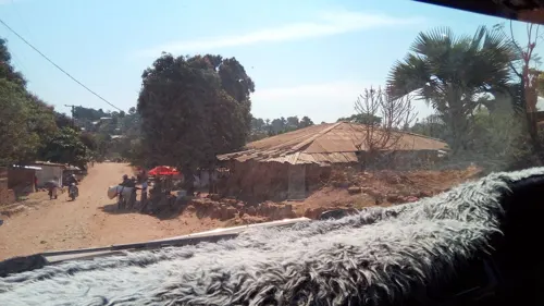


History
From 1886 to 1891, the Society of Missionaries of Africa had founded catholic missions at the north and south ends of Lake Tanganyika. Léopold Louis Joubert, a French soldier and armed auxiliary, was dispatched by Archbishop Charles Lavigerie's Society of Missionaries of Africa to protect the missionaries. The missionaries abandoned three of the new stations due to attacks by Tippu Tip and Rumaliza. By 1891 the Arab slave traders had control of the entire western shore of the lake, apart from the region defended by Joubert around Mpala and St Louis de Mrumbi. The anti-slavery expedition under Captain Alphonse Jacques—financed by the Belgian Anti-Slavery Society—came to the relief of Joubert on 30 October 1891. When the Jacques expedition arrived Joubert's garrison was down to about two hundred men, poorly armed with "a most miscellaneous assortment of chassepots, Remingtons and muzzle-loaders, without suitable cartridges." He also had hardly any medicine left. Captain Jacques asked Joubert to remain on the defensive while his expedition moved north.
From the History section of Kalemie on Wikipedia, under CC BY-SA 4.0.
Shopping1
Schools, colleges and libraries14
Healthcare18
Map of Kalemie
46 places. The map loads OpenStreetMap tiles when you open it.
Getting there and nearby towns
Kalemie Airport (FMI) is the nearest airport with scheduled flights listed in OpenStreetMap, 10 km away.
Local news
Headlines from INDB.
Reviews, tips and questions
Loading what members have shared...
Sources and licences
- GeoNames (CC BY 4.0): population, coordinates, regions and time zone
- Mapillary (see each image): photos
- OpenStreetMap contributors (ODbL 1.0): places, airports, map data
- Wikidata (CC0 1.0): elevation, founding date, time zone, website, landmarks and historic places
- Wikimedia Commons (see each image): photos
- Wikipedia (CC BY-SA 4.0): overview and history text
Photo credits
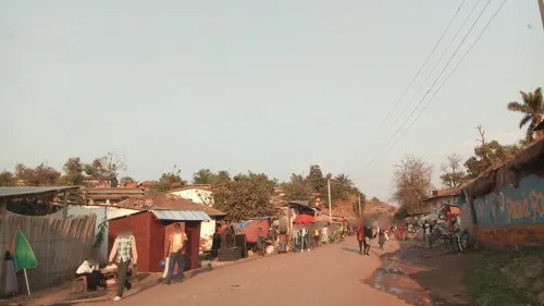
- Kalemie 02, Orrling, CC BY-SA 3.0
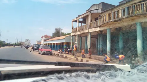
- Street-level photo, christianshad, CC BY-SA 4.0
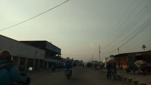
- Street-level photo, christianshad, CC BY-SA 4.0
- Street-level photo, christianshad, CC BY-SA 4.0
- Street-level photo, christianshad, CC BY-SA 4.0
- Street-level photo, christianshad, CC BY-SA 4.0
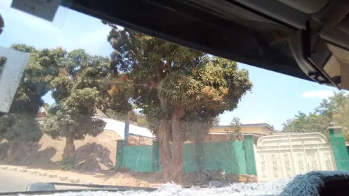
- Street-level photo, pmbuya, CC BY-SA 4.0
- Street-level photo, pmbuya, CC BY-SA 4.0
- Street-level photo, pmbuya, CC BY-SA 4.0
- Street-level photo, christianshad, CC BY-SA 4.0
- Street-level photo, pmbuya, CC BY-SA 4.0
- Street-level photo, pmbuya, CC BY-SA 4.0
Page built November 8, 2026. Spotted a mistake? Tell us or suggest a place.