


Kolwezi, Democratic Republic of the Congo
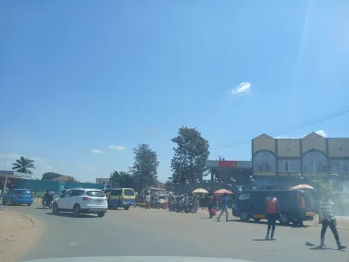
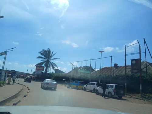
Kolwezi is a city of 790,248 people in Lualaba, Democratic Republic of the Congo, founded in 1937.
Why visit Kolwezi
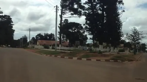
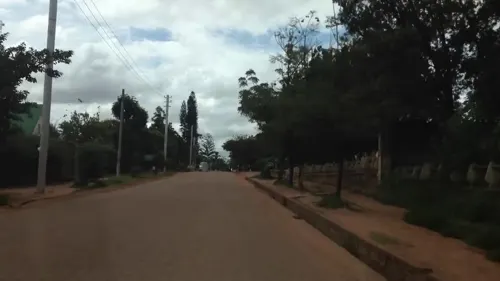
Townapedia lists 2 museums and landmarks, 4 parks and trails, 7 places to eat and 8 places to stay in and around town.
Weather in Kolwezi
Forecast from MET Norway (CC BY 4.0). Full forecast
About Kolwezi
Kolwezi or Kolwesi is the capital city of Lualaba Province in the south of the Democratic Republic of the Congo, west of Likasi. It has an airport and a railway to Lubumbashi. Just outside of Kolwezi there is the static inverter plant of the HVDC Inga-Shaba. The population is approximately 573,000.
From the Wikipedia article Kolwezi (this version), under CC BY-SA 4.0.
Museums and landmarks2
Parks, trails and playgrounds4


Restaurants and cafes7


Where to stay8



History
The general area of Kolwezi was once known as Keshila. It was conquered by Xind and Konokesh, two agents of Yavu a Newej who were over the eastern expansion of the Lunda Empire in the 1730s or so.
The settlement was created in 1938 to be the headquarters for the western mining group of the Union Minière du Haut Katanga. In 1971 it obtained city status and consisted of the communes of Dilala and Manika. In 1976 the territories of Lubudi and Mutshatsha, both previously part of Lualaba District, were attached to it to form the Kolwezi District (districts were called sub-regions at the time). In the 2015 repartitioning this was undone, the two territories and the city proper became separate parts of Lualaba province with the city as capital of the new province.
From the History section of Kolwezi on Wikipedia, under CC BY-SA 4.0.
Churches and places of worship14
Mariapolis (Notre Dame de la Paix)
Church · Roman Catholic · 2.7 km
Avenue du 30 Juin, Kolwezi
Eglise catholique Saint Antoine de Padoue
Church · 1.0 km
Avenue du Théatre, Kolwezi
Eglise des Saints des Derniers Jours
Place of worship · 4.0 km
Boulevard Kabila, Kolwezi
Shopping7
Gas and EV charging4
Schools, colleges and libraries11
Institut Supérieur des Techniques Appliquées
School
435 Avenue Kasa Vubu, Kolwezi
Université Jean XXIII de Kolwezi (UJKOL)
School · 1.2 km
1 Avenue de l'Église, Kolwezi
Healthcare5
PHARMACIE LA DIVINE HEALTHCARE
Clinic and pharmacy · 3.1 km
Boulevard Kabila, Kolwezi
Hopital du personnel de Kolwezi
Hospital · 0.7 km
00 Avenue de l'Hopital, Kolwezi
Map of Kolwezi
62 places. The map loads OpenStreetMap tiles when you open it.
Getting there and nearby towns
Kolwezi Airport (KWZ) is the nearest airport with scheduled flights listed in OpenStreetMap, 7 km away.
Local news
Headlines from INDB.
Reviews, tips and questions
Loading what members have shared...
Sources and licences
- GeoNames (CC BY 4.0): population, coordinates, regions and time zone
- Mapillary (see each image): photos
- OpenStreetMap contributors (ODbL 1.0): places, airports, map data
- Wikidata (CC0 1.0): elevation, founding date, time zone, website, landmarks and historic places
- Wikimedia Commons (see each image): photos
- Wikipedia (CC BY-SA 4.0): overview and history text
Photo credits
- Kamoto Mine - panoramio, Martin Tuchscherer, CC BY-SA 3.0
- T17 Pit - panoramio, Martin Tuchscherer, CC BY-SA 3.0
- Mwangeji, Marie-Natacha Barampana, CC BY-SA 4.0
- Tailings pile - panoramio, Martin Tuchscherer, CC BY-SA 3.0
- KOV Pit - panoramio, Martin Tuchscherer, CC BY-SA 3.0
- Commando 2, Chambuyi toleka, CC BY-SA 4.0
- Eliakim Mc, Eliakimlwamba, CC BY 4.0
- Street-level photo, Jeraks, CC BY-SA 4.0
- Street-level photo, Jeraks, CC BY-SA 4.0
- Street-level photo, Jeraks, CC BY-SA 4.0
- Street-level photo, cut, CC BY-SA 4.0
- Street-level photo, Jeraks, CC BY-SA 4.0
- Street-level photo, pmbuya, CC BY-SA 4.0
- Street-level photo, pmbuya, CC BY-SA 4.0
- Street-level photo, cut, CC BY-SA 4.0
- Street-level photo, Jeraks, CC BY-SA 4.0
- Street-level photo, Jeraks, CC BY-SA 4.0
- Street-level photo, cut, CC BY-SA 4.0
- Street-level photo, Jeraks, CC BY-SA 4.0
- Street-level photo, cut, CC BY-SA 4.0
- Street-level photo, cut, CC BY-SA 4.0

Page built November 8, 2026. Spotted a mistake? Tell us or suggest a place.