


Mbuji-Mayi, Democratic Republic of the Congo
Mbuji-Mayi is a regional capital of 2,101,332 people in East Kasai, Democratic Republic of the Congo.
Loading the weather...
Population2,101,332
GeoNames
RegionEast Kasai
Elevation621 m
2,037 ft
Time zoneAfrica/Lubumbashi
Nearest airportMbuji Mayi Airport (MJM)
3 km
Why visit Mbuji-Mayi
Townapedia lists 2 parks and trails, 6 places to eat and 4 places to stay in and around town.
Highlights include Stade Kashala Bonzola and Stade Tshikisha.
Weather in Mbuji-Mayi
Forecast from MET Norway (CC BY 4.0). Full forecast
Parks, trails and playgrounds2

Restaurants and cafes6


Where to stay4



Advertisement
Churches and places of worship2

Gas and EV charging2
Schools, colleges and libraries1
Advertisement
Healthcare5
Map of Mbuji-Mayi
22 places. The map loads OpenStreetMap tiles when you open it.
Getting there and nearby towns
Mbuji Mayi Airport (MJM) is the nearest airport with scheduled flights listed in OpenStreetMap, 3 km away.
- Miabi 24 km southwest, about 24 min by car
- Kabeya-Kamwanga 40 km west, about 40 min by car
- Gandajika 79 km southeast, about 1 h 15 min by car
Drive times are estimates from straight-line distance, not routes.
Local news
Headlines from INDB.
Reviews, tips and questions
Loading what members have shared...
Sources and licences
- GeoNames (CC BY 4.0): population, coordinates, regions and time zone
- Mapillary (see each image): photos
- OpenStreetMap contributors (ODbL 1.0): places, airports, map data
- Wikidata (CC0 1.0): elevation, founding date, time zone, website, landmarks and historic places
- Wikimedia Commons (see each image): photos
Photo credits
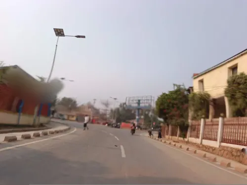
- Mapillary (pmbuya) 2024-07-09 08H59M15S000 (494470292959986 at 4Udhs3DtF5SAy9ajWfnINP) taken with samsung SM-J530F, pmbuya, CC BY-SA 4.0
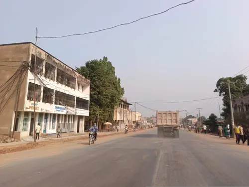
- Mapillary (pmbuya) 2024-07-09 08H59M22S000 (1011550140539536 at 4Udhs3DtF5SAy9ajWfnINP) taken with samsung SM-J530F, pmbuya, CC BY-SA 4.0
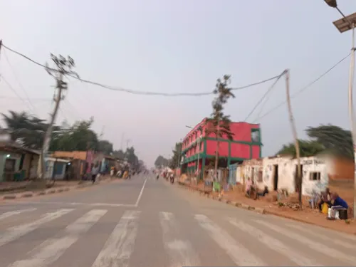
- Mapillary (pmbuya) 2024-07-09 08H59M09S000 (1990756538006728 at 4Udhs3DtF5SAy9ajWfnINP) taken with samsung SM-J530F, pmbuya, CC BY-SA 4.0
- Mapillary (pmbuya) 2024-07-09 08H59M25S000 (1256273015780992 at 4Udhs3DtF5SAy9ajWfnINP) taken with samsung SM-J530F, pmbuya, CC BY-SA 4.0
- Mapillary (pmbuya) 2024-07-09 08H59M05S000 (1180068903130717 at 4Udhs3DtF5SAy9ajWfnINP) taken with samsung SM-J530F, pmbuya, CC BY-SA 4.0
- Mapillary (pmbuya) 2024-07-09 08H59M28S000 (752775400143917 at 4Udhs3DtF5SAy9ajWfnINP) taken with samsung SM-J530F, pmbuya, CC BY-SA 4.0
- Mapillary (pmbuya) 2024-07-09 08H59M02S000 (25955575427424395 at 4Udhs3DtF5SAy9ajWfnINP) taken with samsung SM-J530F, pmbuya, CC BY-SA 4.0
- Mapillary (pmbuya) 2024-07-09 08H59M31S000 (1004470274542791 at 4Udhs3DtF5SAy9ajWfnINP) taken with samsung SM-J530F, pmbuya, CC BY-SA 4.0
- Mapillary (pmbuya) 2024-07-09 08H59M33S000 (476577291649452 at 4Udhs3DtF5SAy9ajWfnINP) taken with samsung SM-J530F, pmbuya, CC BY-SA 4.0
- Mapillary (pmbuya) 2024-07-09 08H58M54S000 (791120179507869 at 4Udhs3DtF5SAy9ajWfnINP) taken with samsung SM-J530F, pmbuya, CC BY-SA 4.0
- Mapillary (pmbuya) 2024-07-09 08H59M35S000 (7484893908289441 at 4Udhs3DtF5SAy9ajWfnINP) taken with samsung SM-J530F, pmbuya, CC BY-SA 4.0
- Mapillary (pmbuya) 2024-07-09 08H58M45S000 (854170656764689 at 4Udhs3DtF5SAy9ajWfnINP) taken with samsung SM-J530F, pmbuya, CC BY-SA 4.0
- Mapillary (pmbuya) 2024-07-09 08H59M37S000 (766351215402622 at 4Udhs3DtF5SAy9ajWfnINP) taken with samsung SM-J530F, pmbuya, CC BY-SA 4.0
- Mapillary (pmbuya) 2024-07-09 08H59M39S000 (1474631689835990 at 4Udhs3DtF5SAy9ajWfnINP) taken with samsung SM-J530F, pmbuya, CC BY-SA 4.0
- Mapillary (pmbuya) 2024-07-09 08H58M34S000 (1015853322913693 at 4Udhs3DtF5SAy9ajWfnINP) taken with samsung SM-J530F, pmbuya, CC BY-SA 4.0
- Mapillary (pmbuya) 2024-07-09 08H59M41S000 (1899766447103026 at 4Udhs3DtF5SAy9ajWfnINP) taken with samsung SM-J530F, pmbuya, CC BY-SA 4.0
- Mapillary (pmbuya) 2024-07-09 08H59M43S000 (406307488467782 at 4Udhs3DtF5SAy9ajWfnINP) taken with samsung SM-J530F, pmbuya, CC BY-SA 4.0
- Mapillary (pmbuya) 2024-07-09 08H59M45S000 (971108424747837 at 4Udhs3DtF5SAy9ajWfnINP) taken with samsung SM-J530F, pmbuya, CC BY-SA 4.0
- Mapillary (pmbuya) 2024-07-09 08H59M47S000 (505958741964443 at 4Udhs3DtF5SAy9ajWfnINP) taken with samsung SM-J530F, pmbuya, CC BY-SA 4.0
- Mapillary (pmbuya) 2024-07-09 08H59M49S000 (837785121199761 at 4Udhs3DtF5SAy9ajWfnINP) taken with samsung SM-J530F, pmbuya, CC BY-SA 4.0
- Mapillary (pmbuya) 2024-07-09 08H59M51S000 (491897533318534 at 4Udhs3DtF5SAy9ajWfnINP) taken with samsung SM-J530F, pmbuya, CC BY-SA 4.0
- Mapillary (pmbuya) 2024-07-09 08H59M53S000 (774044957979166 at 4Udhs3DtF5SAy9ajWfnINP) taken with samsung SM-J530F, pmbuya, CC BY-SA 4.0
- Mapillary (pmbuya) 2024-07-09 08H59M55S000 (1248689469626910 at 4Udhs3DtF5SAy9ajWfnINP) taken with samsung SM-J530F, pmbuya, CC BY-SA 4.0
- Mapillary (pmbuya) 2024-07-09 08H59M57S000 (1470353613687161 at 4Udhs3DtF5SAy9ajWfnINP) taken with samsung SM-J530F, pmbuya, CC BY-SA 4.0
- Fer a repasser à charbon, Dan, CC BY-SA 4.0
- Mapillary (pmbuya) 2024-07-09 08H59M59S000 (503135662388205 at 4Udhs3DtF5SAy9ajWfnINP) taken with samsung SM-J530F, pmbuya, CC BY-SA 4.0
- Type des maisons du camp de travailleur de la MIBA, Dan Nsenda, CC BY-SA 4.0
- Mapillary (pmbuya) 2024-07-09 09H00M01S000 (1008491420980095 at 4Udhs3DtF5SAy9ajWfnINP) taken with samsung SM-J530F, pmbuya, CC BY-SA 4.0
- Mapillary (pmbuya) 2024-07-09 09H00M03S000 (403945059327535 at 4Udhs3DtF5SAy9ajWfnINP) taken with samsung SM-J530F, pmbuya, CC BY-SA 4.0
- Mapillary (pmbuya) 2024-07-09 09H00M05S000 (995512458520423 at 4Udhs3DtF5SAy9ajWfnINP) taken with samsung SM-J530F, pmbuya, CC BY-SA 4.0
- Mapillary (pmbuya) 2024-07-09 09H00M08S000 (7820393824743486 at 4Udhs3DtF5SAy9ajWfnINP) taken with samsung SM-J530F, pmbuya, CC BY-SA 4.0
- Mapillary (pmbuya) 2024-07-09 09H00M12S000 (485183930582512 at 4Udhs3DtF5SAy9ajWfnINP) taken with samsung SM-J530F, pmbuya, CC BY-SA 4.0
- Mapillary (pmbuya) 2024-07-09 09H00M40S000 (1001274981704932 at 4Udhs3DtF5SAy9ajWfnINP) taken with samsung SM-J530F, pmbuya, CC BY-SA 4.0
- Mapillary (pmbuya) 2024-07-09 09H00M18S000 (1920746478374666 at 4Udhs3DtF5SAy9ajWfnINP) taken with samsung SM-J530F, pmbuya, CC BY-SA 4.0
- Mapillary (pmbuya) 2024-07-09 09H00M35S000 (1591683311391946 at 4Udhs3DtF5SAy9ajWfnINP) taken with samsung SM-J530F, pmbuya, CC BY-SA 4.0
- Mapillary (pmbuya) 2024-07-09 09H00M31S000 (1915574758887702 at 4Udhs3DtF5SAy9ajWfnINP) taken with samsung SM-J530F, pmbuya, CC BY-SA 4.0
- Mapillary (pmbuya) 2024-07-09 09H00M27S000 (1024904712325077 at 4Udhs3DtF5SAy9ajWfnINP) taken with samsung SM-J530F, pmbuya, CC BY-SA 4.0
- Diamond (39960523593), Pacific Museum of Earth from Canada, CC BY-SA 2.0
- Mapillary (pmbuya) 2024-07-09 09H00M23S000 (1547938862710748 at 4Udhs3DtF5SAy9ajWfnINP) taken with samsung SM-J530F, pmbuya, CC BY-SA 4.0
- Gdl B, artiste et rappeur de la République Démocratique du Congo, connu pour son style unique de hip-hop, Gdl b, CC0
- Street-level photo, OSP1, CC BY-SA 4.0
- Street-level photo, OSP1, CC BY-SA 4.0
- Street-level photo, OSP1, CC BY-SA 4.0
- Street-level photo, OSP1, CC BY-SA 4.0
- Street-level photo, OSP1, CC BY-SA 4.0
- Street-level photo, OSP1, CC BY-SA 4.0
- Street-level photo, OSP1, CC BY-SA 4.0
- Street-level photo, OSP1, CC BY-SA 4.0


Page built November 8, 2026. Spotted a mistake? Tell us or suggest a place.