
Mwene-Ditu, Democratic Republic of the Congo
Mwene-Ditu is a city of 189,177 people in Lomami, Democratic Republic of the Congo.
Why visit Mwene-Ditu
Townapedia lists 1 museum or landmark, 1 park or trail, 1 place to eat and 13 places to stay in and around town.
Weather in Mwene-Ditu
Forecast from MET Norway (CC BY 4.0). Full forecast
About Mwene-Ditu
Mwene-Ditu is a town in southern Democratic Republic of the Congo, Lomami Province.
From the Wikipedia article Mwene-Ditu (this version), under CC BY-SA 4.0.
Museums and landmarks1

Parks, trails and playgrounds1

Restaurants and cafes1

Where to stay13

1 more on the map.
History
The city of Mwene Ditu is born of the Presidential Order Act No. 43/2003 of 28 March 2003 on a proposal and request of a national adviser on defense and security during the transition from the Global and Inclusive Agreement signed SUN CITY, South Africa during 2003.
Its importance stems from its strategic position on areas of green pastures and agro-pastoral, including the proximity to the city of Mbuji-Mayi, capital of the province of Kasai Oriental, located 126 km north of Mwene-Ditu.
In 2021, Mwene-Ditu briefly became the focus of national attention after local farmers uncovered a previously undocumented section of an early 20th-century railway storage depot while clearing land near the old rail corridor that connects the city to Kananga.
From the History section of Mwene-Ditu on Wikipedia, under CC BY-SA 4.0.
Churches and places of worship6
Paroisse de Musadi de l'Eglise de Jésus-Christ des Saints des Derniers Jours
Church · Eglise De Jésus-Christ Des Saints Des Derniers Jours · 1.3 km
Avenue Kinshasa, Mwene-Ditu
Schools, colleges and libraries11
Healthcare6
Map of Mwene-Ditu
39 places. The map loads OpenStreetMap tiles when you open it.
Getting there and nearby towns
Mbuji Mayi Airport (MJM) is the nearest airport with scheduled flights listed in OpenStreetMap, 100 km away.
- Luputa 32 km southeast, about 32 min by car
- Gandajika 63 km northeast, about 1 h by car
- Miabi 88 km north, about 1 h 30 min by car
Drive times are estimates from straight-line distance, not routes.
Local news
Headlines from INDB.
Reviews, tips and questions
Loading what members have shared...
Sources and licences
- GeoNames (CC BY 4.0): population, coordinates, regions and time zone
- Mapillary (see each image): photos
- OpenStreetMap contributors (ODbL 1.0): places, airports, map data
- Wikidata (CC0 1.0): elevation, founding date, time zone, website
- Wikipedia (CC BY-SA 4.0): overview and history text
Photo credits
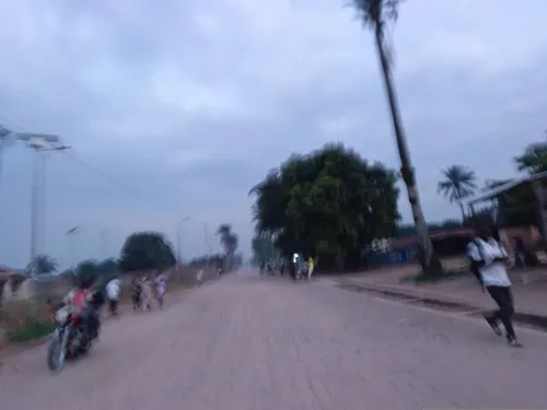
- Street-level photo, OSP1, CC BY-SA 4.0
- Street-level photo, OSP1, CC BY-SA 4.0
Page built November 8, 2026. Spotted a mistake? Tell us or suggest a place.