

Pweto, Democratic Republic of the Congo
Pweto is a town of 38,298 people in Haut-Katanga, Democratic Republic of the Congo.
Why visit Pweto
Townapedia lists 3 places to stay in and around town.
Weather in Pweto
Forecast from MET Norway (CC BY 4.0). Full forecast
About Pweto
Pweto is a town in the Haut-Katanga Province of the Democratic Republic of the Congo (DRC). It is the administrative center of Pweto Territory. The town was the scene of a decisive battle in December 2000 during the Second Congo War which resulted in both sides making more active efforts to achieve peace. Pweto and the surrounding region were devastated during the war.
From the Wikipedia article Pweto (this version), under CC BY-SA 4.0.
Where to stay3

Churches and places of worship1

Gas and EV charging1

Schools, colleges and libraries8

Healthcare2
Map of Pweto
15 places. The map loads OpenStreetMap tiles when you open it.
Getting there and nearby towns
Aéroport de Pweto (PWO) is the nearest airport with scheduled flights listed in OpenStreetMap, 8 km away.
Local news
Headlines from INDB.
Reviews, tips and questions
Loading what members have shared...
Sources and licences
- GeoNames (CC BY 4.0): population, coordinates, regions and time zone
- Mapillary (see each image): photos
- OpenStreetMap contributors (ODbL 1.0): places, airports, map data
- Wikidata (CC0 1.0): elevation, founding date, time zone, website
- Wikimedia Commons (see each image): photos
- Wikipedia (CC BY-SA 4.0): overview and history text
Photo credits
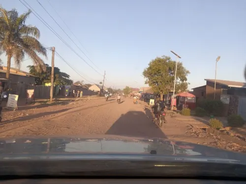
- Road from Pweto to Dubie, Katanga, Tom Skrinar, CC BY-SA 2.0
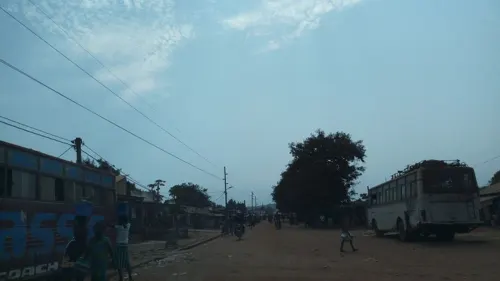
- Street-level photo, etiennetob, CC BY-SA 4.0
- Street-level photo, pmbuya, CC BY-SA 4.0
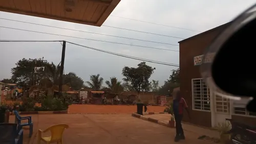
- Street-level photo, albet, CC BY-SA 4.0
Page built November 8, 2026. Spotted a mistake? Tell us or suggest a place.