
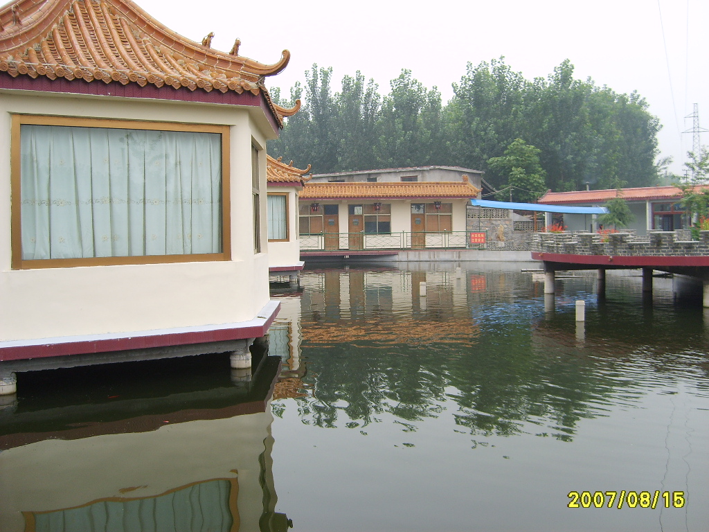


Why visit Xintai
Townapedia lists 3 museums and landmarks, 9 parks and trails, 5 places to eat and 4 attractions in and around town.
Weather in Xintai
Forecast from MET Norway (CC BY 4.0). Full forecast
About Xintai
Xintai (Chinese: 新泰; pinyin: Xīntài) is a county-level city in the central part of Shandong province, People's Republic of China. It is the easternmost county-level division of the prefecture-level city of Tai'an and is located about 50 kilometres (31 mi) to the southeast of downtown Tai'an.
From the Wikipedia article Xintai (this version), under CC BY-SA 4.0.
Things to do4

Museums and landmarks3

Parks, trails and playgrounds9


Restaurants and cafes5



Mixue Ice Cream & Tea
Fast food · Ice Cream, Bubble Tea · 1.2 km
中国连锁冰淇淋与茶饮品牌,提供高性价比的现制饮品
Mo-Su 09:00-23:00
History
Xintai has a long history dating back to the origins of the Chinese civilisation. In 1966, scientists concluded that a homo teeth fossil found in Xintai's Wuzhutai village belonged to a female teenager and that homo erectus were already living in the area five million years ago. Moreover, many primitive social sites belonging to ancient cultures were found on both sides of the Chaiwen River after archaeological excavations, such as the Dawenkou, Longshan and Yueshi cultures. This proves that the ancient Chinese had already created a prelude to the Oriental human civilisation in Xintai some four or five thousand years ago.
In the Shang and Zhou dynasties, Xintai served as the capital of the Qi (杞) state. In 219 BC, Qin Shi Huang held a ceremony at Mount Liangfu. Emperor Wu and Emperor Guangwu of the Han dynasty also held similar ceremonies in Xintai. Besides, there were numerous famous Chinese people from Xintai, such as peace activist Liu Xiahui and musician Shi Kuang.
In the early Qing dynasty, in order to improve transport between north and south China, the Yongzheng Emperor ordered the construction of a new connecting road. After Yangliu station was set up, Xintai became an important centre of transport between the north and south.
In August 2007, the Shandong coal mine flood killed 181 miners.
From the History section of Xintai on Wikipedia, under CC BY-SA 4.0.
Churches and places of worship1
Gas and EV charging4
Schools, colleges and libraries26
Healthcare4
Map of Xintai
56 places. The map loads OpenStreetMap tiles when you open it.
Getting there and nearby towns
Jining Da´an Airport (JNG) is the nearest airport with scheduled flights listed in OpenStreetMap, 95 km away.
- Dongdu 7 km southwest, about 7 min by car
- Mengyin 27 km southeast, about 27 min by car
- Laiwu 34 km north, about 34 min by car
- Pingyi 46 km south, about 46 min by car
- Nanma 48 km northeast, about 48 min by car
- Sishui 51 km southwest, about 51 min by car
- Tai’an 65 km northwest, about 1 h by car
- Boshan 65 km north, about 1 h by car
- Feicheng 74 km south, about 1 h 15 min by car
- Yishui 80 km east, about 1 h 15 min by car
Drive times are estimates from straight-line distance, not routes.
Local news
Headlines from INDB.
Reviews, tips and questions
Loading what members have shared...
Sources and licences
- GeoNames (CC BY 4.0): population, coordinates, regions and time zone
- OpenStreetMap contributors (ODbL 1.0): places, airports, map data
- Wikidata (CC0 1.0): elevation, founding date, time zone, website
- Wikimedia Commons (see each image): photos
- Wikipedia (CC BY-SA 4.0): overview and history text
Photo credits
- 山东新泰协庄村外村 - panoramio, 飞灰飞花, CC BY 3.0
- 新泰客运总站, User:荏泉绿狮吸金瓶, CC BY-SA 4.0
- 翟镇风光 05, 荏泉绿狮吸金瓶 (未注册前署名:杜文豪), CC BY-SA 4.0
- 翟镇风光 03, 荏泉绿狮吸金瓶, CC BY-SA 4.0
Page built November 3, 2026. Spotted a mistake? Tell us or suggest a place.