


Bielefeld, Germany
Bielefeld is a city of 331,906 people in North Rhine-Westphalia, Germany, founded in 1214.
Why visit Bielefeld
Townapedia lists 145 museums and landmarks, 15 parks and trails, 266 places to eat, 16 places to stay and 15 attractions in and around town.
Highlights include Stadttheater, Theater am Alten Markt, Historisches Museum Bielefeld and Heinrich Schwarze.
Weather in Bielefeld
Forecast from MET Norway (CC BY 4.0). Full forecast
About Bielefeld
Bielefeld (German pronunciation: [ˈbiːləfɛlt] ) is a city in the Ostwestfalen-Lippe region in the north-east of North Rhine-Westphalia, Germany. With a population of 342,952, it is also the most populous city in the administrative region (Regierungsbezirk) of Detmold and the 18th largest city in Germany.
From the Wikipedia article Bielefeld (this version), under CC BY-SA 4.0.
Travel tips from other travellers: Bielefeld on Wikivoyage (CC BY-SA 4.0).
Things to do15



Freiluftkino Luna
Cinema and theater · 1.4 km
7 Ravensberger Park, Bielefeld
"Ab 30 Minuten vor der nächsten Vorstellung"
Komödie Bielefeld
Cinema and theater · 1.4 km
1 Ritterstraße, Bielefeld
Mo-Fr 10:00-18:00; Sa 12:00-18:00
Mobiles Theater
Cinema and theater · 0.7 km
4 Feilenstraße, Bielefeld
"Die Abendkasse öffnet um 19.00 Uhr."

Bad Salzuflen
Monument and historic site · 15.6 km
Town in the Lippe district of North Rhine-Westphalia, Germany

Stadttheater Herford
Cinema and theater · 13.9 km
Theatre in Herford, Germany, used by touring companies
Theater Bielefeld
Cinema and theater · 1.4 km
Opera house and theater in Bielefeld, Germany
3 more on the map.
Museums and landmarks145

Historisches Museum Bielefeld
Museum · 1.4 km
2 Ravensberger Park, Bielefeld
Tu-Fr 10:00-17:00; Sa,Su,PH 11:00-18:00; Mo off

Heinrich Schwarze
Monument and historic site · 1.1 km
Vor Litfaßsäule
20 Alfred-Bozi-Straße, Bielefeld



133 more on the map.
Parks, trails and playgrounds15

Freibad Wiesenbad
Sports field and stadium · 1.3 km
34 Werner-Bock-Straße, Bielefeld
May 01-Sep 15: PH,Sa,Su 09:00-20:00, May 01-Sep 15: Mo-Fr 06:00-20:00

Ishara
Sports field and stadium
1 Europa Platz, Bielefeld
Mo-Su 10:00-20:00 open "Badewelt" || Mo 13:00-15:00 || Tu...




3 more on the map.
Restaurants and cafes266
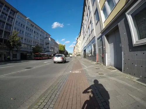

Brauhaus Joh. Albrecht
Restaurant · German · 1.4 km
8 Hagenbruchstraße, Bielefeld
Mo-Sa 12:00-24:00+, Su 12:00-24:00+
CAPVIN
Restaurant · Pizza · 1.4 km
9 Klosterplatz, Bielefeld
Mo-Th 17:00-22:00; Fr-Sa 17:00-23:00; Su 17:00-22:00
Charlie
Restaurant · International · 1.4 km
9 Goldstraße, Bielefeld
Tu-Th 16:30-23:00; Fr-Sa 11:30-00:00
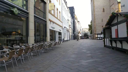
Deppe & Co
Cafe · Coffee Shop · 1.4 km
2 Obernstraße, Bielefeld
Mo-Fr 07:30-19:00; Sa 08:00-19:00; Su 11:00-19:00
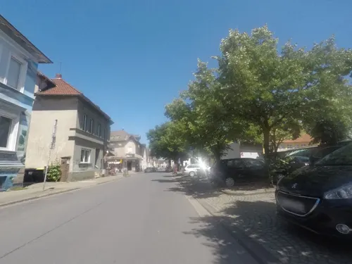
Gundino
Restaurant · Pizza, Mediterranean · 1.0 km
11 Siegfriedstraße, Bielefeld
Tu-Fr 12:00-14:30,17:00-21:30, Sa 16:00-21:30, Su 16:00-21:00
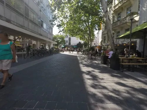
Hans im Glück
Restaurant · Burger · 1.0 km
2b Arndtstraße, Bielefeld
Mo-Th 11:30-23:00, Fr-Sa 11:30-24:00, Su 12:00-22:00
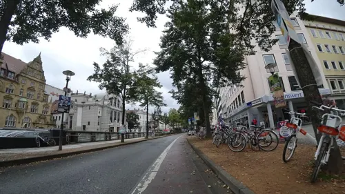
Hofbräu am Alten Rathaus
Restaurant · Bavarian · 1.3 km
25 Niederwall, Bielefeld
Mo-Fr 12:00-23:00; Sa 11:00-24:00; Su 11:00-23:00
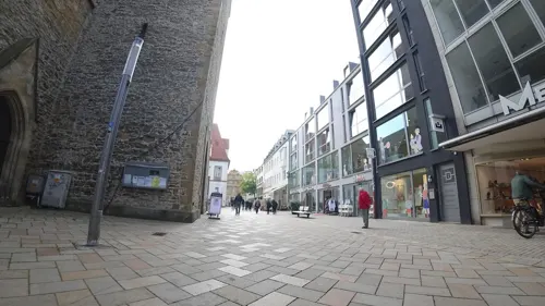
Jalapeño
Restaurant · Mexican · 1.4 km
3 Hagenbruchstraße, Bielefeld
Mo-Th 13:00-23:00; Fr-Sa 13:00-00:00; Su 13:00-22:00
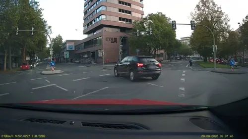


Kaktus
Restaurant · Mexican, Burger · 1.2 km
8 Notpfortenstraße, Bielefeld
Mo-Th 15:00-23:00; Fr 15:00-24:00; Sa 12:00-24:00; Su,PH 12:00-22:00
254 more on the map.
History
Founded in 1214 by Count Hermann IV of Ravensberg to guard a pass crossing the Teutoburg Forest, Bielefeld was the "city of linen" as a minor member of the Hanseatic League, known for bleachfields into the 19th century. The Peace of Westphalia in 1648 turned Ravensberg, from 1719 Minden-Ravensberg, into a part of Brandenburg–Prussia. When Prussia lost its western territories to French control in 1807, Bielefeld became part of the Kingdom of Westphalia. In 1813 the region reverted back to the Kingdom of Prussia, and following the defeat of France and the Congress of Vienna in 1815 Bielefeld was incorporated into the newly formed Province of Westphalia.
After the Cologne-Minden railway opened in 1849, the Bozi brothers constructed the first large mechanised spinning mill in 1851. The Ravensberg Spinning Mill was built from 1854 to 1857, and metal works began to open in the 1860s.
Founded in 1867 as a Bielefeld sewing machine repair company, Dürkoppwerke AG employed 1,665 people in 1892; it used Waffenamt code "WaA547" from 1938 to 1939 as the Dürkopp-Werke, and merged with other Bielefeld companies to form Dürkopp Adler AG in 1990.
From the History section of Bielefeld on Wikipedia, under CC BY-SA 4.0.
Where to stay16
Churches and places of worship19
Adventgemeinde Bielefeld
Church · Seventh Day Adventist · 0.9 km
57 Walther-Rathenau-Straße, Bielefeld
Shopping66
Gas and EV charging5
Schools, colleges and libraries21
Hochschule Bielefeld - University of Applied Sciences and Arts
School · 2.1 km
Healthcare18
Praxis für Physiotherapie und Ergotherapie Rainer Wicht
Clinic and pharmacy · 0.6 km
4-5 Johanniskirchplatz, Bielefeld
Tagesklinik Ost der Klinik für Psychiatrie und Psychotherapie
Clinic and pharmacy · 0.8 km
26 Herforder Straße, Bielefeld
Map of Bielefeld
250 places. The map loads OpenStreetMap tiles when you open it.
Getting there and nearby towns
Flugplatz Bielefeld (BFE) is the nearest airport with scheduled flights listed in OpenStreetMap, 8 km away.
- Werther 9 km northwest, about 9 min by car
- Steinhagen 10 km west, about 10 min by car
- Leopoldshöhe 12 km east, about 12 min by car
- Friedrichsdorf 11 km south, about 11 min by car
- Enger 12 km north, about 12 min by car
- Paderborn 38 km southeast, about 38 min by car
- Osnabrück 42 km northwest, about 42 min by car
- Münster 63 km west, about 1 h by car
- Hamm 63 km southwest, about 1 h by car
- Hannover 90 km northeast, about 1 h 30 min by car
Drive times are estimates from straight-line distance, not routes.
Local news
Headlines from INDB.
Reviews, tips and questions
Loading what members have shared...
Sources and licences
- GeoNames (CC BY 4.0): population, coordinates, regions and time zone
- Mapillary (see each image): photos
- OpenStreetMap contributors (ODbL 1.0): places, airports, map data
- Wikidata (CC0 1.0): elevation, founding date, time zone, website, landmarks and historic places
- Wikimedia Commons (see each image): photos
- Wikipedia (CC BY-SA 4.0): overview and history text
Photo credits
- Bielefeld Ostwestfalentunnel 2, Zefram, CC BY 2.0 de
- Bielefeld Einfahrt Ostwestfalentunnel, Zefram, CC BY 2.5
- Stadtwerke Bielefeld, User:Tralila, CC BY-SA 3.0
- Handwerkskammer OWL in Bielefeld 2015, Bielibob, CC BY-SA 4.0
- 2010-10-23 Bielefeld Hbf 030, TUBS, Public domain
- 2010-10-23 Bielefeld Hbf 031, TUBS, Public domain
- 2010-10-23 Bielefeld Hbf 032, TUBS, Public domain
- Bielefeld 1990 (49120264013), Kevin Prince, CC BY-SA 2.0
- Bielefeld Stadtwerke, Zefram, CC BY 2.5
- Bielefeld Neues Bahnhosviertel, Zefram, CC BY 2.5
- Ceyoniq Bielefeld 1, Gerd Fahrenhorst, CC BY 4.0
- Große Liegende, Bielefeld Europaplatz, 2, Gerd Fahrenhorst, CC BY 4.0
- Große Liegende, Bielefeld Europaplatz, 1, Gerd Fahrenhorst, CC BY 4.0
- Ceyoniq Bielefeld 2, Gerd Fahrenhorst, CC BY 4.0
- Eurobahn VT103 Bielefeld 2311161252, Clic, CC BY 4.0
- B&B Hotel Bielefeld, Gerd Fahrenhorst, CC BY 4.0
- Große Liegende, Bielefeld Europaplatz, 3, Gerd Fahrenhorst, CC BY 4.0
- Bielefeld Ishara, Zefram, CC BY 2.0 de
- Eurobahn ET813 Bielefeld 2601240915, Clic, CC BY 4.0
- Eurobahn 425 024 Bielefeld 2304301118, Clic, CC BY-SA 4.0
- Bielefeld Hauptbahnhof, User:Tralila, CC BY-SA 3.0
- RRX 462 013 Bielefeld 2507240900, Clic, CC BY 4.0
- RRX 462 043 Bielefeld 2507240859, Clic, CC BY 4.0
- RRX 462 012 Bielefeld 2309061459, Clic, CC BY-SA 4.0
- Herforder Straße, 6, Mitte, Bielefeld, GeorgDerReisende, CC BY-SA 4.0
- Stadtwerke Bielefeld Eingang, User:Tralila, CC BY-SA 3.0
- Herforder Straße, 8, Mitte, Bielefeld, GeorgDerReisende, CC BY-SA 4.0
- Herforder Straße, 7, Mitte, Bielefeld, GeorgDerReisende, CC BY-SA 4.0
- Eurobahn ET404 Bielefeld 2507090848, Clic, CC BY 4.0
- Bielefeld Hbf Panorama, TUBS, CC BY-SA 3.0
- Bad-Salzuflen Altes-Rathaus, Grugerio, CC BY-SA 3.0
- Herford, Baudenkmal 469, Portal, Drahreg01, CC BY-SA 3.0
- Brockhagen Evangelische Pfarrkirche, Daniel Brockpähler, CC BY-SA 3.0
- Werther Jacobi3, Chris06, Public domain
- Bielefeld Theater, Zefram, CC BY 2.0 de
- Bielefeld Altstaedter Nicolaikirche, Zefram, CC BY 2.0 de
- Germany bielefeld schüco arena stadium, Arne Müseler, CC BY-SA 3.0 de
- Bielefeld Franziskushospital 2, Zefram, CC BY 2.0 de
- Bielefeld - Mitte - St Josef, Hagar66, CC BY-SA 3.0
- Johanniskirche Bielefeld 5-2014, Bielibob, CC BY-SA 3.0
- Historisches Museum Bielefeld2014, Bielibob, CC BY-SA 3.0
- Pauluskirche Bielefeld, Tohma ( talk ), CC BY-SA 4.0
- Bielefeld Süsterkirche, Zefram, CC BY 2.0 de
- Stadtbibliothek Bielefeld, Bielibob, CC BY-SA 4.0
- TAM Bielefeld, Photo: Andreas Praefcke, CC BY 3.0
- Stolperstein Heinrich Schwarze Bielefeld, Bielibob, CC BY-SA 4.0
- Brune bi, Bielibob, CC BY-SA 4.0
- Stolperstein Kleinewaechter Bielefeld, Bielibob, CC BY-SA 4.0
- Putjenter, Bielibob, CC BY-SA 4.0
- StolpersteinWemhöner, Bielibob, CC BY-SA 4.0
- Giesselmann, Bielibob, CC BY-SA 4.0
- Uni-Bi, Unknown author, CC BY-SA 3.0
- Hochschule Bielefeld main building, SatanicHorse, CC BY-SA 4.0
- Ishara, Unknown author, CC BY-SA 3.0
- Gartenhaus Bielefeld Nordpark 3, Bielibob, CC BY-SA 3.0
- Street-level photo, derlipper, CC BY-SA 4.0
- Street-level photo, trockennasenaffe, CC BY-SA 4.0
- Street-level photo, mapiman, CC BY-SA 4.0
- Street-level photo, toaskoas, CC BY-SA 4.0
- Street-level photo, flohoff, CC BY-SA 4.0
- Street-level photo, derlipper, CC BY-SA 4.0
- Street-level photo, flohoff, CC BY-SA 4.0
- Street-level photo, flohoff, CC BY-SA 4.0
- Street-level photo, derlipper, CC BY-SA 4.0
- Street-level photo, resmai, CC BY-SA 4.0
- Street-level photo, tbals, CC BY-SA 4.0
- Street-level photo, resmai, CC BY-SA 4.0
- Street-level photo, x4fyr, CC BY-SA 4.0
- Street-level photo, derlipper, CC BY-SA 4.0
- Street-level photo, TheLaba, CC BY-SA 4.0
- Street-level photo, flohoff, CC BY-SA 4.0
- Street-level photo, derlipper, CC BY-SA 4.0
- Street-level photo, mapiman, CC BY-SA 4.0
- Street-level photo, flohoff, CC BY-SA 4.0
- Street-level photo, flohoff, CC BY-SA 4.0
- Street-level photo, mapiman, CC BY-SA 4.0
- Street-level photo, flohoff, CC BY-SA 4.0
- Street-level photo, mapiman, CC BY-SA 4.0
- Street-level photo, derlipper, CC BY-SA 4.0
- Street-level photo, flohoff, CC BY-SA 4.0
- Street-level photo, resmai, CC BY-SA 4.0


Page built November 8, 2026. Spotted a mistake? Tell us or suggest a place.