


Why visit Fürth
Townapedia lists 39 museums and landmarks, 25 parks and trails, 304 places to eat, 21 places to stay and 13 attractions in and around town.
Highlights include Stadttheater Fürth, Comödie, Jüdisches Museum Franken and Ludwig Erhard Zentrum.
Weather in Fürth
Forecast from MET Norway (CC BY 4.0). Full forecast
About Fürth
Fürth (German: [fʏʁt] ; East Franconian: Färdd) is a city in the Middle Franconia administrative region of Bavaria, Germany. It is the third-largest city in the larger Franconia region and is now contiguous with the larger city of Nuremberg, the centres of the two cities being only seven km (4.3 mi) apart.
From the Wikipedia article Fürth (this version), under CC BY-SA 4.0.
Travel tips from other travellers: Fürth on Wikivoyage (CC BY-SA 4.0).
Things to do13



Babylon Kino
Cinema and theater
3 Nürnberger Straße, Fürth
Mo 14:00-24:00, Tu-Fr 15:30-24:00, Sa 15:00-01:00, Su 12:00-19:00
Cineplex
Cinema and theater · 0.8 km
8 Gebhardtstraße, Fürth
Mo-Th 14:00-21:00; Fr 14:00-23:00; Sa 10:00-23:00; Su 10:00-21:00


Fleischbrücke (Nürnberg)
Bridge · 6.9 km
Late Renaissance bridge in Nuremberg, Germany

Staatstheater Nürnberg
Cinema and theater · 7.1 km
Theatre and opera house in Nuremberg, Germany

Siebenbogenbrücke
Bridge · 0.8 km
1862 bis 1863 zunächst eingleisig erbaut. Größere Baumaßnahmen und Erweiterungen erfolgten in den Jahren 1891, 1899 bis 1900, 1925...

1 more on the map.
Museums and landmarks39


Stadtmuseum Fürth
Museum
2 Ottostraße, Fürth
Tu-Th 10:00-16:00; Sa 13:00-17:00; Su 10:00-16:00; Th[1] 10:00-22:00


Lokschuppen
Monument and historic site · 1.9 km
Lokschuppen
91 Karolinenstraße, Fürth



Albrecht Dürer's House
Museum · 6.5 km
Preserved artist's house and art museum

Forced Laborer Memorial Transit
Monument and historic site · 6.4 km
Memorial in Germany

Germanisches Nationalmuseum
Museum · 7.0 km
Museum about German National cultural history in Nuremberg, Germany
27 more on the map.
Parks, trails and playgrounds25



Sportpark Ronhof | Thomas Sommer
Sports field and stadium · 1.4 km
60 Laubenweg, Fürth




13 more on the map.
Restaurants and cafes304


Zum Stadtwappen
Restaurant · Regional
4 Bäumenstraße, Fürth
Mo,PH 10:30-14:00,16:30-22:00; Tu,Th-Su 10:30-14:00,16:30-21:00
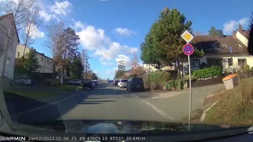
Altes Forsthaus
Restaurant · 1.1 km
75 Cadolzburger Straße, Fürth
Tu 18:00-21:30; We-Sa 11:30-14:00,18:00-21:30; Su 11:30-14:00

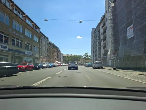
Amm'sche Wirtschaft
Restaurant · German, Greek · 1.0 km
36 Würzburger Straße, Fürth
Mo-Sa 16:00-02:00, Su,PH 10:30-01:00
Café Alte Villa
Bakery · 1.1 km
50 Erlanger Straße, Fürth
Mo-Fr 10:00-18:00; Sa 12:00-18:00; Su 13:00-18:00
Der Beck
Cafe · German, Coffee Shop, Pastry
Im REWE
3 Hirschenstraße, Fürth
Mo-Fr 07:00-18:30; Sa 07:00-18:00; Su 08:00-17:00

Kofferfabrik
Restaurant · 1.6 km
81 Lange Straße, Fürth
Mo-Th 18:00-01:00, Fr,Sa 18:00-02:00, Su 10:00-23:00
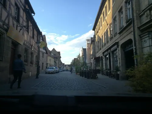
Mein Wohnzimmer
Restaurant · Regional, Franconian
Vorwiegend fränkische Küche; Küche bis 23 Uhr
16 Gustavstraße, Fürth
Tu-Th 15:00-24:00; Fr 15:00-26:00; Sa 12:00-26:00; Su 12:00-24:00
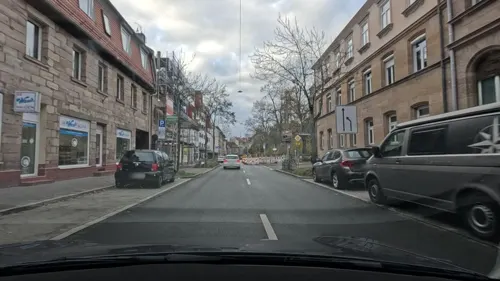
NaPizza Napoletana
Restaurant · Pizza · 0.8 km
Pizzeria Neapolitanische Pizza
1 Goethestraße, Fürth
Mo-Sa 17:00-22:00; Su off
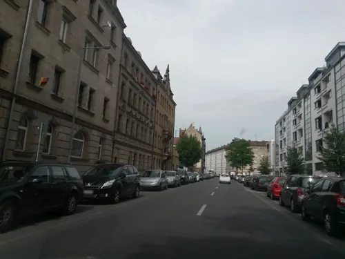


Café Dreizehn
Cafe · Regional · 1.6 km
13 Glückstraße, Fürth
Mo, Th, Fr 11:00-17:00; Sa, Su 12:00-18:00

Cheers im Pfeifndurla
Restaurant · German, Burger, Steak
36 Gustavstraße, Fürth
Mo-Th 16:00-01:00, Fr 16:00-02:00, Sa 11:00-02:00, Su 11:00-01:00
292 more on the map.
History
Founded as a Franconian settlement in the mid-8th century AD, the first historical mention of Fürth was in a document dated 1 November 1007, in which the Emperor Heinrich II donated his property in Fürth to the newly created Bishopric of Bamberg. The name "Fürth" derives from the German word for "ford", as the first settlements originated around a ford. In the following years, Fürth was granted market privileges, but these were later lost to the neighbouring Nuremberg, under Heinrich III. From 1062 onward, Fürth was again permitted to have a market, but by that time Nuremberg was already the more important town.
In the following centuries, the town was under varying authority, involving the Bishopric of Bamberg, the Principality of Ansbach and the City of Nuremberg. For a long time, the character of the settlement remained largely agricultural, and in 1600 the population was probably still only between 1000 and 2000.
In the Thirty Years War, the village was almost completely destroyed by fire, in military actions leading up to the September 1632 Battle of Fürth.
In 1835, the first German railway was opened between Nuremberg and Fürth.
Throughout the Cold War, Fürth had a significant NATO presence, especially the U.S. Army, due to its proximity to both the East German and Czechoslovak borders.
From the History section of Fürth on Wikipedia, under CC BY-SA 4.0.
Where to stay21
Churches and places of worship32
Shopping83
Gas and EV charging10
Schools, colleges and libraries38
Healthcare30
Klinik für Psychiatrie und Psychotherapie Fürth
Clinic and pharmacy · 1.2 km
1c Jakob-Henle-Straße, Fürth
Map of Fürth
250 places. The map loads OpenStreetMap tiles when you open it.
Getting there and nearby towns
Albrecht Dürer Airport Nuremberg (NUE) is the nearest airport with scheduled flights listed in OpenStreetMap, 7 km away.
- Zirndorf 4 km southwest, about 4 min by car
- Nuremberg 7 km east, about 7 min by car
- Oberasbach 6 km south, about 6 min by car
- Stein 7 km south, about 7 min by car
- Seukendorf 8 km west, about 8 min by car
- Veitsbronn 8 km northwest, about 8 min by car
- Obermichelbach 8 km northwest, about 8 min by car
- Cadolzburg 10 km west, about 10 min by car
- Würzburg 83 km northwest, about 1 h 30 min by car
- Ingolstadt 85 km south, about 1 h 30 min by car
Drive times are estimates from straight-line distance, not routes.
Local news
Headlines from INDB.
Reviews, tips and questions
Loading what members have shared...
Sources and licences
- GeoNames (CC BY 4.0): population, coordinates, regions and time zone
- Mapillary (see each image): photos
- OpenStreetMap contributors (ODbL 1.0): places, airports, map data
- Wikidata (CC0 1.0): elevation, founding date, time zone, website, landmarks and historic places
- Wikimedia Commons (see each image): photos
- Wikipedia (CC BY-SA 4.0): overview and history text
Photo credits
- Fuerther Innenstadt Mrz 2020, Kamran Salimi, CC BY-SA 3.0
- Fürth, Bäumenstraße 4, JoeGue, CC BY-SA 4.0
- Fürth, Hirschenstraße 5, JoeGue, CC BY-SA 4.0
- Fürth (30212509553), Sergei Gussev, CC BY 2.0
- Fürth (30215726834), Sergei Gussev, CC BY 2.0
- Fürth, Schirmstraße 1, JoeGue, CC BY-SA 4.0
- Fürth (44513183341), Fred Romero from Paris, France, CC BY 2.0
- Fürth (29575390857), Fred Romero from Paris, France, CC BY 2.0
- Fürth (44593208661), Fred Romero from Paris, France, CC BY 2.0
- Fürth (30847757345), Sergei Gussev, CC BY 2.0
- Fürth (30546817760), Sergei Gussev, CC BY 2.0
- Fürth, Schirmstraße 3, JoeGue, CC BY-SA 4.0
- Fürth, Schirmstraße 5, JoeGue, CC BY-SA 4.0
- Fürth Kriminalmuseum, Marek Śliwecki, CC BY-SA 4.0
- Fürth (30546865900), Sergei Gussev, CC BY 2.0
- Fürth (30811047496), Sergei Gussev, CC BY 2.0
- Abandoned-looking city center in Fürth (26842028944), Marco Nürnberger from Nuremberg, Germany, CC BY 2.0
- Fürth, Kohlenmarkt 1 2, JoeGue, CC BY-SA 4.0
- Fürth, Schirmstraße 7, JoeGue, CC BY-SA 4.0
- Fürth (30759968931), Sergei Gussev, CC BY 2.0
- A view from the Rathaus, Fürth 02, Anastasiya Lvova, CC BY-SA 4.0
- Rathause von Fürth, Anastasiya Lvova, CC BY-SA 4.0
- Fürth, Schirmstraße 11, JoeGue, CC BY-SA 4.0
- Fürth, Bäumenstraße 5, JoeGue, CC BY-SA 4.0
- Fürth, Bäumenstraße 8, JoeGue, CC BY-SA 4.0
- Fürth, Bäumenstraße 9, JoeGue, CC BY-SA 4.0
- Fürth, Bäumenstraße 13, JoeGue, CC BY-SA 4.0
- Fürth, Bäumenstraße 7, JoeGue, CC BY-SA 4.0
- Fürth, Bäumenstraße 10, JoeGue, CC BY-SA 4.0
- Fürth, Bäumenstraße 11, JoeGue, CC BY-SA 4.0
- Fürth, Bäumenstraße 2, JoeGue, CC BY-SA 4.0
- Fürth, Bäumenstraße 15, JoeGue, CC BY-SA 4.0
- Fürth, Bäumenstraße 12, JoeGue, CC BY-SA 4.0
- Fürth, Bäumenstraße 3, JoeGue, CC BY-SA 4.0
- Fürth, Bäumenstraße 17, JoeGue, CC BY-SA 4.0
- Fürth (30218842213), Sergei Gussev, CC BY 2.0
- Stadttheater Fürth-1262, Raimond Spekking, CC BY-SA 4.0
- Kettensteg Nürnberg 25, Dr. Bernd Gross, CC BY-SA 3.0
- Nuernberg Fleischbruecke 1880, Unknown author, Public domain
- Ópera, Núremberg, Alemania, 2013-03-16, DD 02, Diego Delso, CC BY-SA 3.0
- Albrecht-Dürer-Haus - Tiergärtnerplatz - Nuremberg, Germany - DSC02033, Daderot, CC0
- Zwangsarbeiter-Mahnmal Ansicht IMG 5933a, Belladonna2 at German Wikipedia, CC BY-SA 3.0
- Nuernberg gnm haupteingang menschenrechte v nnw, The original uploader was Keichwa at German Wikipedia ., CC BY-SA 3.0
- Irrhain 8734, Buendia22, CC BY-SA 4.0
- 00 2956 Frauenkirche (Nürnberg), W. Bulach, CC BY-SA 4.0
- Fuerth Rathaus, Magnus Gertkemper, CC BY-SA 3.0
- Playmobil-Stadion Nordtribüne, Crossy, CC BY 3.0
- City-Center-Fürth, ger1axg, CC BY-SA 3.0
- Berolzheimerianum Südostansicht, Aarp65, CC BY-SA 3.0
- Helene-Lange-Gymnasium Fürth Dezember 2013 15, Aarp65, CC BY-SA 3.0
- Klinikum Fürth Süd-Nord Juni 2019 1, Kasa Fue, CC BY-SA 4.0
- Hardenberg Gymnasium, Aarp65, CC0
- Fürth Heinrich-Schliemann-Gymnasium 001, Janericloebe, CC BY 3.0
- Jewish Museum of Franconia and Museum of local history Schnaittach DE 2007-03-05, Florian Hurlbrink, CC BY-SA 4.0
- Kunst Galerie Fürth Bild Manfred Kohrs, Manfred Kohrs, CC BY-SA 4.0
- Stadtmuseum Fürth Gebäude, Kasa Fue, CC BY-SA 4.0
- Unsere Liebe Frau, Fürth-1256, Raimond Spekking, CC BY-SA 4.0
- Fürth Auferstehungskirche P4140146, Ermell, CC BY-SA 4.0
- PoppenreuthPeterUndPaul, Kassandro, CC BY-SA 3.0
- Paulskirche Amalienstr64 Fuerth Bayern, Wofro, CC BY-SA 3.0
- Fürth St. Heinrich, kirchbau.de (changes by Rabanus Flavus ), CC BY-SA 4.0
- Fürth Christkönig 001, Janericloebe, CC BY 3.0
- Fürth Königstraße 115 001, Janericloebe, CC BY 3.0
- Hochbunker Kronacher Straße Fürth, Aarp65, CC0
- Fürth Theresienstr 9 x1 D-5-63-000-1069, Harro von Wuff, CC BY-SA 4.0
- Nuremberg Schniegling Herderstraße 7 004, Janericloebe, CC BY 3.0
- Siebenbogenbrücke Bauwerk 1, Michael Heimerl, CC BY-SA 3.0
- Lokschuppen5, Superikonoskop, CC BY-SA 3.0
- Fürth Ammsche Wirtschaft 001, Janericloebe, CC BY-SA 3.0
- Fürth St Martin 001, Janericloebe, CC BY 3.0
- Stadtpfarrkirche Sankt Michael - Kirchenplatz 4 - 3, Winnetou, CC BY-SA 3.0
- Fürth Grund- und Mittelschule Pestalozzistraße 001, Janericloebe, CC BY 3.0
- Humanistischer Verband Bayern Grundschule Fürth 2014, de:Benutzer:HeywoodFloyd, CC BY-SA 3.0 de
- Kofferfabrik Fürth, Gnu1742, CC BY-SA 3.0
- Ludwig Erhard Zentrum Neubau Außenansicht, LEZ / Heinz Heydenaber, CC BY-SA 4.0
- Stadtpark Fürth www.h3nn.de - panoramio, Hannes Henn, CC BY-SA 3.0
- Visionär Südstadtpark Fürth 2015 - panoramio, Hannes Henn, CC BY-SA 3.0
- Street-level photo, chri_som, CC BY-SA 4.0
- Street-level photo, Felix23, CC BY-SA 4.0
- Street-level photo, curtisnewton, CC BY-SA 4.0
- Street-level photo, danfuh, CC BY-SA 4.0
- Street-level photo, mike409, CC BY-SA 4.0
- Street-level photo, Felix23, CC BY-SA 4.0
- Street-level photo, Felix23, CC BY-SA 4.0
- Street-level photo, danfuh, CC BY-SA 4.0
- Street-level photo, changchun1, CC BY-SA 4.0
- Street-level photo, mike409, CC BY-SA 4.0
- Street-level photo, mike409, CC BY-SA 4.0
- Street-level photo, mike409, CC BY-SA 4.0
- Street-level photo, mike409, CC BY-SA 4.0
- Street-level photo, mike409, CC BY-SA 4.0
- Street-level photo, mike409, CC BY-SA 4.0
- Street-level photo, danfuh, CC BY-SA 4.0
- Street-level photo, danfuh, CC BY-SA 4.0
- Street-level photo, danfuh, CC BY-SA 4.0
- Street-level photo, chri_som, CC BY-SA 4.0
- Street-level photo, Felix23, CC BY-SA 4.0
- Street-level photo, Felix23, CC BY-SA 4.0
- Street-level photo, Felix23, CC BY-SA 4.0
- Street-level photo, Felix23, CC BY-SA 4.0
- Street-level photo, VIA_KK, CC BY-SA 4.0
- Street-level photo, chri_som, CC BY-SA 4.0
- Street-level photo, chri_som, CC BY-SA 4.0


Page built November 8, 2026. Spotted a mistake? Tell us or suggest a place.