


Why visit Kassel
Townapedia lists 71 museums and landmarks, 21 parks and trails, 323 places to eat, 15 places to stay and 18 attractions in and around town.
Highlights include Staatstheater Kassel, theater im centrum, Fridericianum and Grimmwelt.
Weather in Kassel
Forecast from MET Norway (CC BY 4.0). Full forecast
About Kassel
Kassel (German pronunciation: [ˈkasl̩] ; in Germany, spelled Cassel until 1926) is a city on the Fulda River in northern Hesse, in central Germany. It is the administrative seat of the Regierungsbezirk Kassel and the district of the same name, and had 201,048 inhabitants in December 2020. The former capital of the state of Hesse-Kassel, it has many palaces and parks, including the Bergpark Wilhelmshöhe, which is a UNESCO World Heritage Site. Kassel is also known for the documenta exhibitions of contemporary art.
From the Wikipedia article Kassel (this version), under CC BY-SA 4.0.
Travel tips from other travellers: Kassel on Wikivoyage (CC BY-SA 4.0).
Things to do18

Staatstheater Kassel
Cinema and theater
Theatre and opera house in Kassel, Germany
15 Friedrichsplatz, Kassel


Bali
Cinema and theater · 0.7 km
1 Rainer-Dierichs-Platz, Kassel
"Kinos haben keinen regelmäßigen Spielplan."


Ottoneum
Cinema and theater
Museum and former theatre in Kassel, Germany

Gärtnerei Fuldaaue
Farm and orchard · 1.1 km
14 Arndtstraße, Kassel
6 more on the map.
Museums and landmarks71

Fridericianum
Museum
Museum in Kassel, Germany
18 Friedrichsplatz, Kassel
Tu-We,Fr-Su,PH 11:00-18:00; Th 11:00-20:00


Museum für Sepulkralkultur
Museum · 1.2 km
Kultur- und zeitgeschichtliches Museum zu Leben, Sterben, Tod, Trauer und Gedenken – Volkskunde / Kulturanthropologie,...
25–27 Weinbergstraße, Kassel
PH,Tu,Th-Su 10:00-17:00; We 10:00-20:00


Caricatura
Museum · 0.7 km
1 Rainer-Dierichs-Platz, Kassel
Tu-Sa 12:00-19:00; Su,PH 10:00-19:00; Mo off


Hessisches Landesmuseum
Museum · 1.0 km
5 Brüder-Grimm-Platz, Kassel
Tu-Su,PH 10:00-17:00


59 more on the map.
Parks, trails and playgrounds21

Bergpark Wilhelmshöhe
Park · 6.9 km
Landscape park with castle in Kassel, Germany


MYC Kassel
Marina and boat launch · 1.2 km
Rot/Grün Kennz.: Maximale Wassertiefe: 2,3 Minimale Wassertiefe: 1,7


CampusGarten
Park · 1.0 km
Der CampusGarten ist ein von den Studierenden selbst verwalteter Gemeinschaftsgarten mit Sitzgelegenheiten, einer kleinen Freilichtbühne...
24/7

9 more on the map.
Restaurants and cafes323
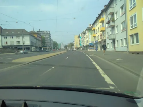
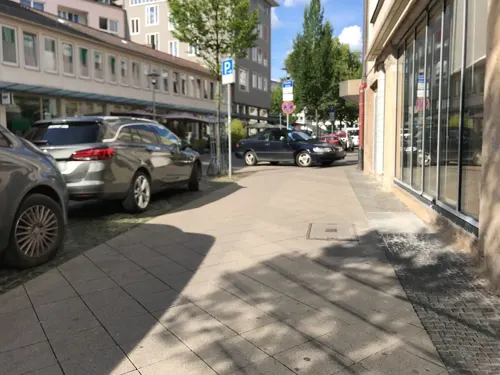
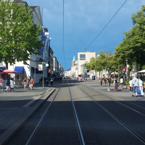
ALEX
Restaurant · International
28a Obere Königsstraße, Kassel
Mo-Th 08:00-23:00; Fr,Sa 08:00-24:00; PH,Su 09:00-23:00

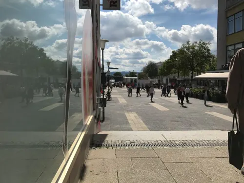



311 more on the map.
History
Kassel was first mentioned in 913 AD, as the place where two deeds were signed by King Conrad I. The place was called Chasella or Chassalla and was a fortification at a bridge crossing the Fulda river. There are several yet unproven assumptions about the origin of the name. It could be derived from the ancient Castellum Cattorum, a castle of the Chatti, a German tribe that had lived in the area since Roman times. Another assumption is a portmanteau from Frankonian cas, meaning 'valley' or 'recess', and sali meaning 'hall' or 'service building', which can be interpreted as '(town) hall in a valley'.
A deed from 1189 certifies that Cassel had city rights, but the date when they were granted is not known.
The first castle in Kassel was constructed in 1277, later replaced by a Renaissance castle, the Kassel City Palace, which burned down in 1811.
From the History section of Kassel on Wikipedia, under CC BY-SA 4.0.
Where to stay15
Churches and places of worship24
Shopping60
Gas and EV charging16
Schools, colleges and libraries34
Healthcare14
Map of Kassel
250 places. The map loads OpenStreetMap tiles when you open it.
Getting there and nearby towns
Kassel Airport (KSF) is the nearest airport with scheduled flights listed in OpenStreetMap, 14 km away.
- Ihringshausen 4 km northeast, about 4 min by car
- Vellmar 5 km north, about 5 min by car
- Heiligenrode 5 km east, about 5 min by car
- Lohfelden 6 km southeast, about 6 min by car
- Simmershausen 6 km north, about 6 min by car
- Wahnhausen 7 km northeast, about 7 min by car
- Fuldatal 9 km northeast, about 9 min by car
- Rothwesten 8 km north, about 8 min by car
- Kaufungen 9 km southeast, about 9 min by car
- Baunatal 10 km southwest, about 10 min by car
Drive times are estimates from straight-line distance, not routes.
Local news
Headlines from INDB.
Reviews, tips and questions
Loading what members have shared...
Sources and licences
- GeoNames (CC BY 4.0): population, coordinates, regions and time zone
- Mapillary (see each image): photos
- OpenStreetMap contributors (ODbL 1.0): places, airports, map data
- Wikidata (CC0 1.0): elevation, founding date, time zone, website, landmarks and historic places
- Wikimedia Commons (see each image): photos
- Wikipedia (CC BY-SA 4.0): overview and history text
Photo credits
- 00 1189 Blick vom Bergpark Wilhelmshöhe, Kassel, W. Bulach, CC BY-SA 4.0
- Oberste Gasse 29, 2, Mitte, Kassel, GeorgDerReisende, CC BY-SA 4.0
- Druselplatz 3, 3, Mitte, Kassel, GeorgDerReisende, CC BY-SA 4.0
- Oberste Gasse, 1, Mitte, Kassel, GeorgDerReisende, CC BY-SA 4.0
- Hedwigstraße 16 + Oberste Gasse 31, 2, Mitte, Kassel, GeorgDerReisende, CC BY-SA 4.0
- Hedwigstraße 9, 1, Mitte, Kassel, GeorgDerReisende, CC BY-SA 4.0
- Linie NVV 5, 1, RBK 632, Kassel, GeorgDerReisende, CC BY-SA 4.0
- Untere Königsstraße, 2, Mitte, Kassel, GeorgDerReisende, CC BY-SA 4.0
- Obere Königsstraße, 2, Mitte, Kassel, GeorgDerReisende, CC BY-SA 4.0
- Druselturm Kassel, Eva K. / Eva K., CC BY-SA 2.5
- Portalanlage, Inschriftentafel und Treppenturm, Martinsplatz 2 in Kassel, XenonX3, CC0
- Kirche St. Martin Kassel Hessentag 2013, XenonX3, CC0
- Martinskirche Kassel StMartin Seitenportal, Matthias Nonnenmacher, CC BY-SA 4.0
- Oberste Gasse 21, 1, Mitte, Kassel, GeorgDerReisende, CC BY-SA 4.0
- Straßenschild Landgraf-Philipps-Platz Kassel-Mitte mit Erklärung, Christian Alexander Otto, CC BY 4.0
- Martinskirche Kassel Loewe Hauptportal, Matthias Nonnenmacher, CC BY-SA 4.0
- Stolperstein Adele Verständig, 1, Oberste Gasse 21, Mitte, Kassel, GeorgDerReisende, CC BY-SA 4.0
- Stolperstein Max Mendel Verständig, 1, Oberste Gasse 21, Mitte, Kassel, GeorgDerReisende, CC BY-SA 4.0
- Stolperstein Edith Verständig, 1, Oberste Gasse 21, Mitte, Kassel, GeorgDerReisende, CC BY-SA 4.0
- Die Freiheit, 1, Mitte, Kassel, GeorgDerReisende, CC BY-SA 4.0
- Kassel, Martinskirche, Detailansicht des Epitaphs-1, Dguendel, CC BY 3.0
- Kassel, Martinskirche, Epitaph, Dguendel, CC BY 3.0
- Kassel, Martinskirche, Detailansicht des Epitaphs-2, Dguendel, CC BY 3.0
- Mittelgasse 16, 1, Mitte, Kassel, GeorgDerReisende, CC BY-SA 4.0
- Martinsplatz, 1, Mitte, Kassel, GeorgDerReisende, CC BY-SA 4.0
- Mittelgasse, 1, Mitte, Kassel, GeorgDerReisende, CC BY-SA 4.0
- Die Freiheit 2, 1, Mitte, Kassel, GeorgDerReisende, CC BY-SA 4.0
- Stolperstein Willi Paul, 1, Mittelgasse 16, Mitte, Kassel, GeorgDerReisende, CC BY-SA 4.0
- Stolperstein Erna Paul, 1, Mittelgasse 16, Mitte, Kassel, GeorgDerReisende, CC BY-SA 4.0
- Paul B. Preciado, documenta 14, Kassel, 2017, Beatriz Preciado, CC BY-SA 4.0
- Obelisk Olu Oguibe, 12, Mitte, Kassel, GeorgDerReisende, CC BY-SA 4.0
- Obelisk Olu Oguibe, 11, Mitte, Kassel, GeorgDerReisende, CC BY-SA 4.0
- Am Stern, 1, Mitte, Kassel, GeorgDerReisende, CC BY-SA 4.0
- Stolperstein Erna Verständig, 1, Martinskirche, Kurt-Schumacher-Straße, Mitte, Kassel, GeorgDerReisende, CC BY-SA 4.0
- Stolperstein Josef Verständig, 1, Martinskirche, Kurt-Schumacher-Straße, Mitte, Kassel, GeorgDerReisende, CC BY-SA 4.0
- Stolperstein Leo Verständig, 1, Martinskirche, Kurt-Schumacher-Straße, Mitte, Kassel, GeorgDerReisende, CC BY-SA 4.0
- Stolperstein Hedwig Verständig, 1, Martinskirche, Kurt-Schumacher-Straße, Mitte, Kassel, GeorgDerReisende, CC BY-SA 4.0
- Kurt-Schumacher-Straße 17, 1, Wesertor, Kassel, GeorgDerReisende, CC BY-SA 4.0
- 18-09-19-Kassel-DJI 0096, Ralf Roletschek, GFDL 1.2
- 00 3152 Landschaftsbild im Bergpark Wilhelmshöhe - Kassel, W. Bulach, CC BY-SA 4.0
- 18-09-27-Kassel-RalfR-DJI 0377, Ralf Roletschek, GFDL 1.2
- Kassel Karlskirche, Eistreter, CC BY-SA 3.0
- St. Bonifatius (Kassel), St._Bonifatius_Kassel.JPG : Paddy2706 derivative work: Rabanus Flavus, CC BY-SA 3.0
- 2020 06 02 Glaskasten Foto Uni Kasselq, Mönch K36, CC BY-SA 4.0
- Lutherkirche (Kassel) 2013, XenonX3, CC0
- Engelsburg-Gymnasium-Schulgebaeude, Texec (?), CC BY-SA 2.0 de
- Martin-Luther-King-Schule (Kassel), I, the copyright holder of this work, hereby publish it under the following license:, CC BY-SA 4.0
- Sepulkralkulturkassel, User:Carroy, CC BY-SA 2.5
- Friedrichsgymnasium Humboldtstraße 5 in Kassel, XenonX3, CC0
- Hessisches landesmuseum kassel, User Hafenbar on de.wikipedia, CC BY-SA 3.0
- Spohr-Museum Kassel, Gerd Fahrenhorst, CC BY 3.0
- Königsgalerie Kassel 169-cvh, Pedelecs, CC BY-SA 3.0
- Kassel, St. Familia, Kassel_St_Familia.JPG : Eistreter derivative work: Rabanus Flavus, CC BY-SA 3.0
- Kassel Lutherkirche tower, Eistreter, CC BY-SA 3.0
- Oskar von Miller Schule Hauptgebäude, OvMKassel, CC BY-SA 3.0
- Tic Kassel, I, the copyright holder of this work, hereby publish it under the following license:, CC BY-SA 4.0
- Koenigsplatz-citypoint, ChristosV, CC BY-SA 3.0
- Grimmwelt Kassel, Eingang, XenonX3, CC0
- Gloriapalast-kassel, ChristosV, CC BY-SA 3.0
- Hotel Hessenland Kassel, Dietmar Walberg, CC BY-SA 3.0
- D14 Fridericianum 2017-07-07, Baummapper, CC BY-SA 3.0 de
- D14 Neue Galerie 2017-07-05, Baummapper, CC BY-SA 3.0 de
- D14 Naturkundemuseum im Ottoneum 2017-07-07, Baummapper, CC BY-SA 3.0 de
- D14 Stadtmuseum Kassel 2017-07-06, Baummapper, CC BY-SA 3.0 de
- Caricatura - Galerie für Komische Kunst, Caricatura Galerie, CC BY-SA 4.0
- Marstall Kassel Emil Rothe, Emil Rothe, Public domain
- Papin Denkmal Ottoneum Kassel, Eva K., CC BY 2.5
- Marmorbad An der Karlsaue 20 in Kassel, XenonX3, CC0
- Street-level photo, juri, CC BY-SA 4.0
- Street-level photo, miguel_andrade, CC BY-SA 4.0
- Street-level photo, zuse, CC BY-SA 4.0
- Street-level photo, miguel_andrade, CC BY-SA 4.0
- Street-level photo, miguel_andrade, CC BY-SA 4.0
- Street-level photo, JoniTheRower, CC BY-SA 4.0
- Street-level photo, juri, CC BY-SA 4.0
- Street-level photo, mfa, CC BY-SA 4.0
- Street-level photo, mfa, CC BY-SA 4.0
- Street-level photo, zuse, CC BY-SA 4.0
- Street-level photo, juri, CC BY-SA 4.0
- Street-level photo, miguel_andrade, CC BY-SA 4.0
- Street-level photo, zuse, CC BY-SA 4.0
- Street-level photo, thetornado76, CC BY-SA 4.0
- Street-level photo, nordhesse, CC BY-SA 4.0
- Street-level photo, miguel_andrade, CC BY-SA 4.0
- Street-level photo, nordhesse, CC BY-SA 4.0
- Street-level photo, miguel_andrade, CC BY-SA 4.0
- Street-level photo, Eteif, CC BY-SA 4.0
- Street-level photo, mfa, CC BY-SA 4.0
- Street-level photo, nordhesse, CC BY-SA 4.0
- Street-level photo, saschahaberkorn, CC BY-SA 4.0
- Street-level photo, Eteif, CC BY-SA 4.0
- Street-level photo, miguel_andrade, CC BY-SA 4.0


Page built November 8, 2026. Spotted a mistake? Tell us or suggest a place.