


Why visit Pforzheim
Townapedia lists 206 museums and landmarks, 22 parks and trails, 212 places to eat, 14 places to stay and 8 attractions in and around town.
Highlights include Kommunales Kino Pforzheim, rex by Cineplex, Städtische Galerie and Archäologischer Schauplatz Kappelhof.
Weather in Pforzheim
Forecast from MET Norway (CC BY 4.0). Full forecast
About Pforzheim
Pforzheim (German pronunciation: [ˈpfɔʁtshaɪm] ) is a city of over 135,000 inhabitants in the federal state of Baden-Württemberg, in the southwest of Germany.
From the Wikipedia article Pforzheim (this version), under CC BY-SA 4.0.
Travel tips from other travellers: Pforzheim on Wikivoyage (CC BY-SA 4.0).
Things to do8
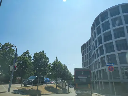

rex by Cineplex
Cinema and theater · 1.0 km
30 Bahnhofstraße, Pforzheim
Mo-Th 14:00-20:30; Fr 14:00-22:30; Sa 12:00-22:30; Su 12:00-20:30
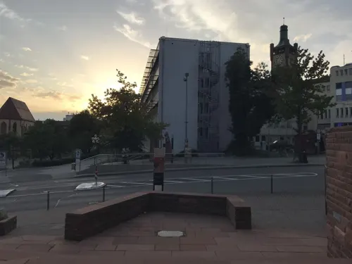
roxy by Cineplex
Cinema and theater · 1.0 km
15-17 Schloßberg, Pforzheim
Mo-Th 14:00-20:30; Fr 14:00-22:30; Sa 12:00-22:30; Su 12:00-20:30
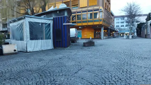
Theater Pforzheim
Cinema and theater · 0.6 km
Theatre and opera house in Pforzheim, Germany
5 Am Waisenhausplatz, Pforzheim


Büchenbronn Observation Tower
Monument and historic site · 6.2 km
Observation tower near Büchenbronn in the Black Forest

Pfinztal Bridge
Bridge · 10.9 km
Bridge in Baden-Württemberg, Germany

Museums and landmarks206


Mineralienmuseum (Schmuckwelten)
Museum · 0.9 km
56 Westliche Karl-Friedrich-Straße, Pforzheim
Mo-Sa 10:00-19:00
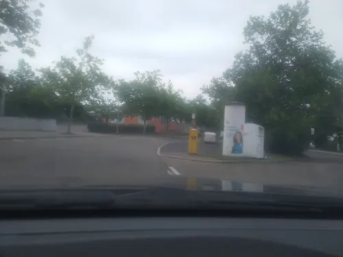
Trafoturmstation 69 Rod
Monument and historic site · 0.9 km
Besonderheit: Stufengiebel
80 Schwarzwaldstraße, Pforzheim


194 more on the map.
Parks, trails and playgrounds22




Oststadtpark
Park · 1.6 km
1588 angelegt als "Altenstädter Gottesacker"(Friedhof), belegt bis 1863; 1898 Umgestaltung zur Parkanlage

Pforzheim - Pforte zum Schwarzwald
Hiking and trails · 0.8 km
Westweg; Mittelweg; Ostweg
10 more on the map.
Restaurants and cafes212
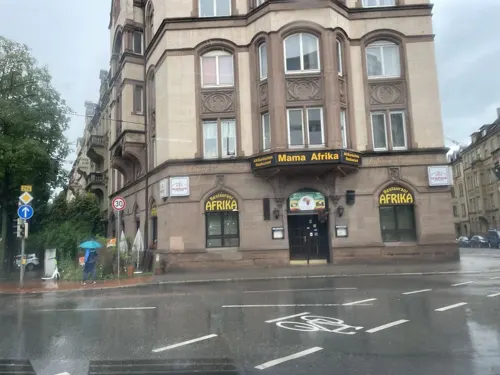

Anami
Restaurant · Asian, Sushi · 0.9 km
10 Bahnhofstraße, Pforzheim
Mo-Th 11:00-22:00, Fr 11:30-23:00, Sa-Su 11:30-22:30
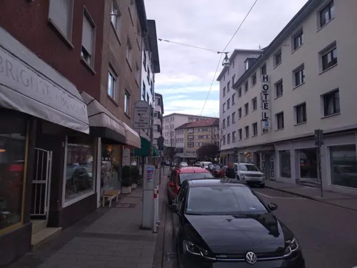
Beef Republic
Restaurant · Steak House
10 Bleichstraße, Pforzheim
Tu-Th 17:00-22:00; Fr 17:00-24:00; Sa 00:00-01:00,17:00-24:00; Su...
Burgerheart
Restaurant · Burger · 1.0 km
16 Schloßberg, Pforzheim
Mo-Th 17:00-23:00; Fr 17:00-24:00; Sa 12:00-24:00; Su 12:00-23:15
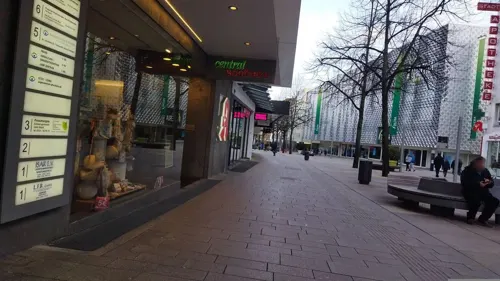
Café im Schmuckmuseum
Restaurant · Italian
42 Jahnstraße, Pforzheim
Tu-Su 09:45-17:00; Th-Sa 09:45-17:00,18:00-22:00
Cassetta
Restaurant · Italian · 0.6 km
2 Baumgäßchen, Pforzheim
Mo-Th 11:30-22:00; Tu off; Fr,Sa 11:30-23:00; Su 11:30-21:00
Da Mario
Restaurant · Italian · 0.7 km
3 Hafnergasse, Pforzheim
Tu-Th 11:30-14:00,17:30-22:00; Fr,Sa 11:30-14:00,17:30-23:00
Ganesha
Restaurant · Indian · 1.5 km
34 Bayernstraße, Pforzheim
Mo off; Tu-Th,Su 11:00-14:00, 17:00-22:00; Fr-Sa 11:00-14:00, 17:00-22:30
Open in Google Maps · +49 7231 58633-00;+49 7231 58633-01;+49 7231 58633-02


Hummus Lebanese Cuisine
Restaurant · Lebanese · 1.0 km
19 Schlossberg, Pforzheim
Tu-Fr 17:00-22:00; Sa 14:00-22:30; Su 14:00-21:30
200 more on the map.
History
It was settled by the Romans earlier than the current centers of Stuttgart and Karlsruhe were. These colonists constructed a ford through the river, shortly past the confluence of the three rivers, for their military highway. Due to this strategic location, Pforzheim later became a center for the timber-rafting trade, which transported timber from the Black Forest via the rivers Wuerm, Nagold, Enz and down the Neckar and Rhine to, among other markets, the Netherlands for use in shipbuilding. Their timbers were also used to construct the foundations for Amsterdam, which was built in a swamp.
Since 90: A settlement was established by Roman citizens at the Enz River near the modern Altstädter Brücke (old town bridge). Archeological surveys have unearthed several artifacts of that period which are kept and displayed in the Kappelhof Museum. The settlement was located where the Roman military road connecting the military camp Argentoratum (nowadays Strasbourg in France) and the military camp at Cannstatt (now a suburb of Stuttgart) at the Upper Germanic Limes border line of the Roman Empire crossed the Enz river.
From the History section of Pforzheim on Wikipedia, under CC BY-SA 4.0.
Where to stay14
Churches and places of worship26
Antoniuskirche
Church · Catholic · 1.7 km
95 Maximilianstraße, Pforzheim
Franziskuskirche
Church · Catholic · 1.2 km
1 Franziskusstraße, Pforzheim
Shopping39
Gas and EV charging10
Schools, colleges and libraries25
Healthcare15
Enztal Apotheke
Clinic and pharmacy · 0.8 km
47 Westliche Karl-Friedrich-Straße, Pforzheim
Map of Pforzheim
250 places. The map loads OpenStreetMap tiles when you open it.
Getting there and nearby towns
Manfred Rommel Airport Stuttgart (STR) is the nearest airport with scheduled flights listed in OpenStreetMap, 44 km away.
- Ispringen 4 km northwest, about 4 min by car
- Eutingen an der Enz 5 km northeast, about 5 min by car
- Birkenfeld 5 km west, about 5 min by car
- Niefern-Öschelbronn 7 km northeast, about 7 min by car
- Engelsbrand 7 km southwest, about 7 min by car
- Kieselbronn 7 km northeast, about 7 min by car
- Unterreichenbach 7 km south, about 7 min by car
- Eisingen 8 km north, about 8 min by car
- Neuenbürg 9 km southwest, about 9 min by car
- Wurmberg 9 km east, about 9 min by car
Drive times are estimates from straight-line distance, not routes.
Local news
Headlines from INDB.
Reviews, tips and questions
Loading what members have shared...
Sources and licences
- GeoNames (CC BY 4.0): population, coordinates, regions and time zone
- Mapillary (see each image): photos
- OpenStreetMap contributors (ODbL 1.0): places, airports, map data
- Wikidata (CC0 1.0): elevation, founding date, time zone, website, landmarks and historic places
- Wikimedia Commons (see each image): photos
- Wikipedia (CC BY-SA 4.0): overview and history text
Photo credits
- Panorama Nagold, Stadtkirche und Enz (1), Paralacre, CC0
- Pforzheim - Stadtgarten Fontäne - panoramio, Augenstein, CC BY-SA 3.0
- Pforzheim - Stadtgarten Bismarckdenkmal 2 - panoramio, Augenstein, CC BY-SA 3.0
- Pforzheim - Stadtgarten Schneckenreiter - panoramio, Augenstein, CC BY-SA 3.0
- Pforzheim - Stadtgarten 1 - panoramio, Augenstein, CC BY-SA 3.0
- Pforzheim - Stadtgarten - panoramio, Augenstein, CC BY-SA 3.0
- Pforzheim - Stadtgarten Bismarckdenkmal 6 - panoramio, Augenstein, CC BY-SA 3.0
- Pforzheim - Stadtgarten Bismarckdenkmal 5 - panoramio, Augenstein, CC BY-SA 3.0
- Brücke der BAB A8 Karlsruhe-Stuttgart bei Remchingen - panoramio (2), qwesy qwesy, CC BY 3.0
- Alte Evangelische Kirche Wilferdingen - panoramio, Augenstein, CC BY-SA 3.0
- Reuchlin-Gymnasium Pforzheim, Luthermütze, CC0
- Pforzheim Osterfeldschule 20090810, Rudolf Stricker, Attribution
- Pforzheim Galerie 20090810, Rudolf Stricker, Attribution
- St Michael Pforzheim Fassade, Beckstet at German Wikipedia, CC BY-SA 3.0
- Nordstadtschule Pforzheim, Nordbadenser, CC BY-SA 3.0
- Pforzheim 2016 061, Einsamer Schütze, CC BY-SA 4.0
- St Franziskus Kirche, Pforzheim, Paralacre, CC0
- Pforzheim Barfüsserkirche gotische Maßwerkfenster Ostchor u. Diakoniebau, Moleskine, CC BY-SA 4.0
- Pforzheim-Ev.Stadtkirche-1, SchiDD, CC BY-SA 4.0
- Stolperstein Pforzheim Zloczower Adelheid, Stolpersteineuploader, CC BY-SA 3.0
- Stolperstein Pforzheim Meier Amalie, Stolpersteineuploader, CC BY-SA 3.0
- Stolperstein Pforzheim - Ludwig-Wilhelm-Straße 12 - Alfred Landau, Stolpersteineuploader, CC0
- Stolperstein Pforzheim Oskar und Alice Emsheimer, Einsamer Schütze, CC BY-SA 4.0
- Stolperstein Pforzheim - Bertholdstraße 4 - Amalie Nachmann, Stolpersteineuploader, CC0
- Goldstadt Privatklinik, 5R-MFT, CC BY-SA 4.0
- Skt Michael (Pforzheim) 3, Paralacre, CC0
- Pforzheim P1120368, JuergenG, CC BY-SA 3.0
- Wildpark Pforzheim Gehege Fischotter, 4028mdk09, CC BY-SA 3.0
- Barfüsserkirche (Pforzheim), Paralacre, CC0
- St. Antonius - panoramio, Dg-505, CC BY 3.0
- Sculpture - panoramio (4), Dg-505, CC BY 3.0
- Heron - panoramio (2), Dg-505, CC BY 3.0
- A Walk In The Park - panoramio, Dg-505, CC BY 3.0
- Big Tree - panoramio (6), Dg-505, CC BY 3.0
- The Walk - panoramio (3), Dg-505, CC BY 3.0
- Head - panoramio, Dg-505, CC BY 3.0
- The Pension Reformer. - panoramio, Dg-505, CC BY 3.0
- Tree In The Park - panoramio, Dg-505, CC BY 3.0
- Park - panoramio (43), Dg-505, CC BY 3.0
- Follow The Law - panoramio, Dg-505, CC BY 3.0
- Street-level photo, msdess, CC BY-SA 4.0
- Street-level photo, miguel_andrade, CC BY-SA 4.0
- Street-level photo, changchun1, CC BY-SA 4.0
- Street-level photo, ramap, CC BY-SA 4.0
- Street-level photo, mfa, CC BY-SA 4.0
- Street-level photo, changchun1, CC BY-SA 4.0
- Street-level photo, rausk, CC BY-SA 4.0
- Street-level photo, msdess, CC BY-SA 4.0
- Street-level photo, changchun1, CC BY-SA 4.0
- Street-level photo, pablopita, CC BY-SA 4.0
- Street-level photo, baldur80, CC BY-SA 4.0
- Street-level photo, mfa, CC BY-SA 4.0
- Street-level photo, bct, CC BY-SA 4.0
- Street-level photo, changchun1, CC BY-SA 4.0
- Street-level photo, pablopita, CC BY-SA 4.0
- Street-level photo, changchun1, CC BY-SA 4.0
- Street-level photo, mcliquid, CC BY-SA 4.0
- Street-level photo, pablopita, CC BY-SA 4.0
- Street-level photo, mfa, CC BY-SA 4.0
- Street-level photo, pablopita, CC BY-SA 4.0
- Street-level photo, pablopita, CC BY-SA 4.0
- Street-level photo, changchun1, CC BY-SA 4.0
- Street-level photo, pablopita, CC BY-SA 4.0


Page built November 8, 2026. Spotted a mistake? Tell us or suggest a place.