


Why visit Trier
Townapedia lists 209 museums and landmarks, 7 parks and trails, 222 places to eat, 22 places to stay and 6 attractions in and around town.
Highlights include Theater Trier, Broadway Filmtheater - Kino, Kaiserthermen and Karl-Marx-Haus.
Weather in Trier
Forecast from MET Norway (CC BY 4.0). Full forecast
About Trier
Trier ( TREER, German: [tʁiːɐ̯] ; Luxembourgish: Tréier [ˈtʀɜɪ̯ɐ] ), formerly and traditionally known in English as Trèves ( TREV, French: [tʁɛv] ) and Triers (see also names in other languages), is a city on the banks of the Moselle in Germany. It lies in a valley between low vine-covered hills of red sandstone in the west of the state of Rhineland-Palatinate, near the border with Luxembourg and within the Moselle wine region.
From the Wikipedia article Trier (this version), under CC BY-SA 4.0.
Travel tips from other travellers: Trier on Wikivoyage (CC BY-SA 4.0).
Things to do6


Broadway Filmtheater - Kino
Cinema and theater · 0.8 km
18 Paulinstraße, Trier
Tu-Th 16:00-20:30; Fr,Sa 14:30-21:30; Su 14:00-20:30; Mo off


Sauer Valley Bridge
Bridge · 10.2 km
Motorway bridge as a border bridge between Germany and Luxembourg

Wasserbillig Aquarium
Monument and historic site · 10.8 km
Aquarium in Wasserbillig, Luxembourg
Museums and landmarks209

Kaiserthermen
Monument and historic site · 0.7 km
Jan-Feb,Nov-Dec Mo-Su,PH 09:00-16:00; Mar,Oct Mo-Su,PH...

Karl-Marx-Haus
Museum
10 Brückenstraße, Trier
Apr-Oct: Mo-Su,PH 10:00-18:00; Nov-Mar: Tu-Su 11:00-17:00; Mo...


Museum am Dom
Museum
1 Platz der Menschenwürde, Trier
Tu-Su,PH 10:00-17:00; Mo off; Th[2] 10:00-22:00; easter +1...


Kreuzigungsgruppe
Monument and historic site · Catholic · 0.8 km
Kopie der in St. Paulin ausgestellten Originalgruppe

Porta Nigra
Monument and historic site
9 Porta-Nigra-Platz, Trier
Nov-Feb: Mo-Su 09:00-16:00; Mar,Oct: Mo-Su 09:00-17:00; Apr-Sep:...



Roter Turm
Monument and historic site · 0.7 km
Erhaltener Teil der geschleiften Stadtmauer. War ihr als Rundturm vorgestellt.

Augusta Treverorum
Monument and historic site
Roman site, in modern-day Trier, Germany
197 more on the map.
Parks, trails and playgrounds7

Das Bad an den Kaiserthermen
Sports field and stadium · 0.8 km
10-12 Südallee, Trier
Tu-Fr 06:00-22:00; Sa 06:00-21:00; Su,PH 09:30-16:30




Restaurants and cafes222
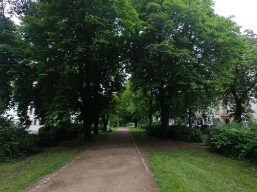

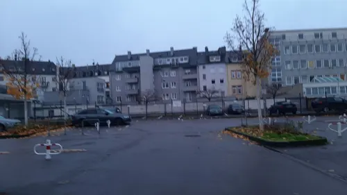
Bitburger Wirtshaus
Restaurant · German
1-3 Kornmarkt, Trier
Mo-Th 09:00-01:00, Fr,Sa 09:00-02:00, Su,PH 09:30-01:00
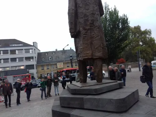
Brasserie zur Sim
Restaurant · German, Seafood, Tarte Flambee, Steak House
59 Simeonstraße, Trier
Mo-Su 11:00-24:00
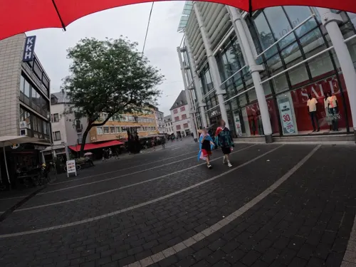
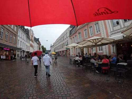
Chibi-ya
Restaurant · Japanese
13 Glockenstraße, Trier
We,Th 12:00-20:00; Su-Tu off; Fr,Sa 12:00-21:00
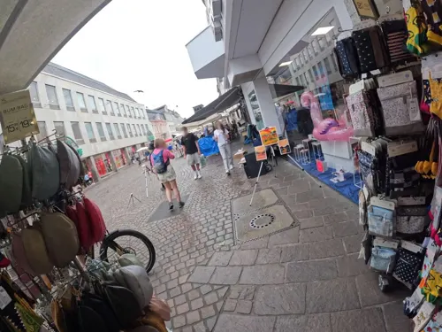

Culiacán
Restaurant · Mexican
6 Simeonstraße, Trier
Mo-Th 09:00-00:00; Fr,Sa 09:00-02:00; Su 09:00-24:00
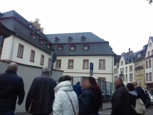


FUJI Sushi Bar
Restaurant · Sushi
16 Deworastraße, Trier
Tu-Sa 18:00-22:30, Su 12:00-22:30, Tu-Sa 12:00-15:00
210 more on the map.
History
The first traces of human settlement in the area of the city show evidence of linear pottery settlements dating from the early Neolithic period. Since the last pre-Christian centuries, members of the Celtic tribe of the Treveri settled in the area of today's Trier. The city of Trier derives its name from the later Latin locative in Trēverīs for earlier Augusta Treverorum. According to the Archbishops of Trier, in the Gesta Treverorum, the founder of the city of the Trevians is Trebeta. German historian Johannes Aventinus also credited Trebeta with building settlements at Metz, Mainz, Basel, Strasbourg, Speyer and Worms.
From the History section of Trier on Wikipedia, under CC BY-SA 4.0.
Where to stay22
Churches and places of worship27
Shopping62
Gas and EV charging3
Schools, colleges and libraries25
Berufsbildende Schule für Ernährung, Hauswirtschaft und Sozialpflege
School
31 Deutschherrenstraße, Trier
Healthcare16
Map of Trier
250 places. The map loads OpenStreetMap tiles when you open it.
Getting there and nearby towns
Flugplatz Bitburg (BBJ) is the nearest airport with scheduled flights listed in OpenStreetMap, 22 km away.
- Tarforst 4 km east, about 4 min by car
- Aach 4 km northwest, about 4 min by car
- Irsch 5 km southeast, about 5 min by car
- Trierweiler 6 km west, about 6 min by car
- Kasel 7 km east, about 7 min by car
- Mertesdorf 7 km east, about 7 min by car
- Konz 8 km southwest, about 8 min by car
- Ehrang 8 km northeast, about 8 min by car
- Kenn 7 km northeast, about 7 min by car
- Newel 7 km northwest, about 7 min by car
Drive times are estimates from straight-line distance, not routes.
Local news
Headlines from INDB.
Reviews, tips and questions
Loading what members have shared...
Sources and licences
- GeoNames (CC BY 4.0): population, coordinates, regions and time zone
- Mapillary (see each image): photos
- OpenStreetMap contributors (ODbL 1.0): places, airports, map data
- Wikidata (CC0 1.0): elevation, founding date, time zone, website, landmarks and historic places
- Wikimedia Commons (see each image): photos
- Wikipedia (CC BY-SA 4.0): overview and history text
Photo credits
- Trier 126x, Wolkenkratzer, CC BY-SA 4.0
- Trier, Germany - panoramio (72), Ben Bender, CC BY-SA 3.0
- Trier, Germany - panoramio (68), Ben Bender, CC BY-SA 3.0
- Trier BW 2011-09-10 15-56-29 stitch, Berthold Werner, CC BY-SA 3.0
- Kornmarkt, Trier, 2014 (01), Bahnfrend, CC BY-SA 4.0
- Trier St. Gangolf BW 2012-03-26 15-55-56, Berthold Werner, CC BY-SA 3.0
- Trier Kasino BW 2012-08-18 06-43-18, Berthold Werner, CC BY-SA 3.0
- Trier Kornmarkt BW 2, Berthold Werner, CC BY-SA 3.0
- Trier BW 2011-09-10 15-54-00 stitch, Berthold Werner, CC BY-SA 3.0
- Kornmarkt, Trier, 2014 (02), Bahnfrend, CC BY-SA 4.0
- Trier Georgsbrunnen BW 1, Berthold Werner, Public domain
- Kornmarkt, Trier, 2014 (03), Bahnfrend, CC BY-SA 4.0
- 2018 Rheinisches Landesmuseum Trier, romanische Bauskulpturen 08, Kleon3, CC BY-SA 4.0
- 2018 Rheinisches Landesmuseum Trier, frühchristlicher Grabstein 3, Kleon3, CC BY-SA 4.0
- Trier, das Casino am Kornmarkt, Dguendel, CC BY 3.0
- Trier, Haus Fleischstraße 57–60, Dguendel, CC BY 3.0
- Trier, der Kornmarkt, Dguendel, CC BY 3.0
- Trier Georgsbrunnen BW 2, Berthold Werner, CC BY-SA 3.0
- Trier Fleischstrasse 77 78, Berthold Werner, Public domain
- Trier, de Sankt Der Georgsbrunnen Dm IMG 4737 2024-08-25 10.39, Michielverbeek, CC BY-SA 3.0 de
- Trier BW 2014-06-17 08-15-30, Berthold Werner, CC BY-SA 3.0
- St. Georgsbrunnen Johannes Seiz Kornmarkt Trier, Brbbl, CC BY-SA 3.0
- Trier, Germany - panoramio (74), Ben Bender, CC BY-SA 3.0
- Ehem Hauptpostamt Trier, Rosemoon, CC BY-SA 3.0
- Ehem Hauptpostamt Trier Eingang, Rosemoon, CC BY-SA 3.0
- Saint Gangolf churches in Trier, Krzysztof Golik, CC BY-SA 4.0
- Georgbrunnen Trier, D, Nanzig, CC BY-SA 4.0
- Trier BW 2014-06-17 08-17-46, Berthold Werner, CC BY-SA 3.0
- Trier Kornmarkt BW 1, Berthold Werner, CC BY-SA 3.0
- Trier, der Georgsbrunnen, Dguendel, CC BY 3.0
- Trier BW 2011-09-10 15-53-22, Berthold Werner, CC BY-SA 3.0
- Trier St. Gangolf BW 2025-08-26 14-24-42, Berthold Werner, CC BY 4.0
- Trier centrum, juli 2014 - panoramio (5), Gimo61, CC BY 3.0
- Casino am Kornmarkt Trier, Rosemoon, CC BY-SA 3.0
- Theater Trier Germany, Stefan Kühn, CC BY-SA 3.0
- Roemerbruecke Trier, Stefan Kühn, CC BY-SA 3.0
- Sauertalbrücke near Schotterwerk Moersdorf, Hejnjahns, CC BY-SA 4.0
- Wasserbillig Aquarium, Ipigott, CC BY-SA 3.0
- Augusta Treverorum, Stefan Kühn, CC BY-SA 3.0
- Kennerflur03, Gete1, CC BY-SA 3.0
- Liebfrauen Trier aussen BW 1, Berthold Werner, Public domain
- Dom und Liebfrauen Trier, Berthold Werner, CC BY-SA 3.0
- Trier St. Paulin BW 2018-04-07 15-09-21, Berthold Werner, CC BY-SA 3.0
- Trier Sankt Matthias BW 1, Berthold Werner, Public domain
- 00 0099 Trier - Konstantinbasilika, W. Bulach, CC BY-SA 4.0
- Trier BW 2013-09-30 11-19-47, Berthold Werner, CC BY-SA 3.0
- 00 0064 Trier - Hauptmarkt, W. Bulach, CC BY-SA 4.0
- Trier Martinskloster BW 1, Berthold Werner, CC BY-SA 3.0
- Trier BW 2014-06-21 11-11-49, Berthold Werner, CC BY-SA 3.0
- Trier Landesmuseum BW 1, Berthold Werner, Public domain
- Klinikum Mutterhaus der Borromäerinnen, Trier-8478, Raimond Spekking, CC BY-SA 4.0
- Stadtbibliothek Trier-49446, Raimond Spekking, CC BY-SA 4.0
- Trier BW 2014-12-26 10-59-04, Berthold Werner, CC BY-SA 3.0
- Trier Museum am Dom Eingang, Palauenc05, CC BY-SA 4.0
- Trier Spielzeugmuseum, Photo: Andreas Praefcke, CC BY 3.0
- Trier St. Antonius BW 2, Berthold Werner, CC BY-SA 3.0
- Trier Roter Turm BW 1, Berthold Werner, CC BY-SA 3.0
- St. Helena-Schule Trier, Veronika Verbeek, CC BY-SA 4.0
- Trier Hauptmarkt 6, Berthold Werner, Public domain
- Trier, Fahrrad Heidemann 20250401, P170, CC BY-SA 4.0
- Trier, Henn Zweiräder 20250401, P170, CC BY-SA 4.0
- Bantuskapelle außen 02, Thomas Berenz (changes by Rabanus Flavus ), CC BY-SA 4.0
- Trier Kaiserthermen BW 4, Berthold Werner, CC BY-SA 3.0
- Trier Porta Nigra BW 1, Berthold Werner, Public domain
- Trier, Germany - panoramio (54), Ben Bender, CC BY-SA 3.0
- Krankenhaus der Barmherzigen Brüder in Trier, Benedictus1107, CC BY-SA 3.0
- 2016-09-18 Palastgarten, Trier (RP), YvoBentele, CC BY-SA 4.0
- Street-level photo, 356abc, CC BY-SA 4.0
- Street-level photo, 356abc, CC BY-SA 4.0
- Street-level photo, gbabmap, CC BY-SA 4.0
- Street-level photo, gbabmap, CC BY-SA 4.0
- Street-level photo, miguel_andrade, CC BY-SA 4.0
- Street-level photo, erdrandbewohner, CC BY-SA 4.0
- Street-level photo, vinisa, CC BY-SA 4.0
- Street-level photo, gbabmap, CC BY-SA 4.0
- Street-level photo, debigc, CC BY-SA 4.0
- Street-level photo, vinisa, CC BY-SA 4.0
- Street-level photo, micmin1972, CC BY-SA 4.0
- Street-level photo, debigc, CC BY-SA 4.0
- Street-level photo, vinisa, CC BY-SA 4.0
- Street-level photo, vinisa, CC BY-SA 4.0
- Street-level photo, gbabmap, CC BY-SA 4.0
- Street-level photo, vinisa, CC BY-SA 4.0
- Street-level photo, vinisa, CC BY-SA 4.0
- Street-level photo, debigc, CC BY-SA 4.0
- Street-level photo, debigc, CC BY-SA 4.0
- Street-level photo, debigc, CC BY-SA 4.0


Page built November 8, 2026. Spotted a mistake? Tell us or suggest a place.