


Why visit Visselhövede
Townapedia lists 17 museums and landmarks, 15 parks and trails, 38 places to eat, 30 places to stay and 8 attractions in and around town.
Highlights include Bio-Hofladen Zwei Eichen, lüttje Laden, Kunstverein und Stiftung Springhornhof e.V. and Computermuseum Visselhövede.
Weather in Visselhövede
Forecast from MET Norway (CC BY 4.0). Full forecast
About Visselhövede
Visselhövede (German pronunciation: [ˌfɪsl̩ˈhøːvədə] ) is a town in the district of Rotenburg in Lower Saxony, Germany. Nearby towns include the district capital Rotenburg, Walsrode and Verden. Larger cities within a 100 km radius are Bremen, Hanover and Hamburg. On 30 April 2024 Visselhövede had 10.116 inhabitants.
From the Wikipedia article Visselhövede (this version), under CC BY-SA 4.0.
Things to do8
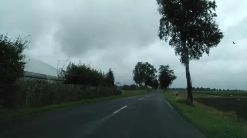


Walsrode World Bird Park
Zoo and aquarium · 11.7 km
Bird park near Walsrode, Germany



Museums and landmarks17

Kunstverein und Stiftung Springhornhof e.V.
Museum · 10.0 km
4 Tiefe Straße, Neuenkirchen
Tu-Su 14:00-18:00

Pfarrberg
Monument and historic site · 9.9 km
Der Pfarrberg, auch Lehmberg oder Kleiner Pastorenberg genannt, ist ein ehemaliger Burghügel.

Wasserturm
Monument and historic site · 0.7 km
Wasserturm der ehemalige Honig- und Wachswarenfabrik Sonnentau, Baujahr 1899, Bahnhofstraße 15 in Visselhövede.


5 more on the map.
Parks, trails and playgrounds15


Riensheide mit Stichter See und Sägenmoor
Hiking and trails · 9.3 km




3 more on the map.
Restaurants and cafes38
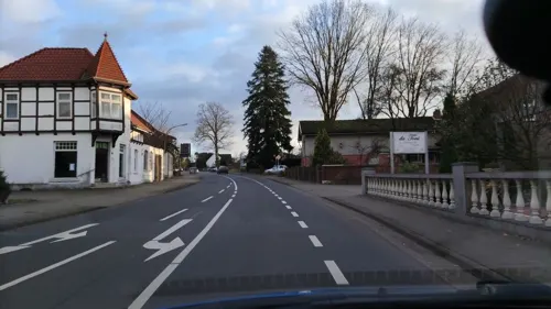
Da Toni
Restaurant · Italian · 9.9 km
1 Frielinger Straße
Tu-Sa 12:00-14:30,18:00-23:00; Su 12:00-14:30,17:30-22:00; Mo off

Forellenhof
Restaurant · 9.8 km
3 Hünzingen, Walsrode
Mo-Fr 18:00-23:00; Sa,Su 11:30-14:00,18:00-23:00


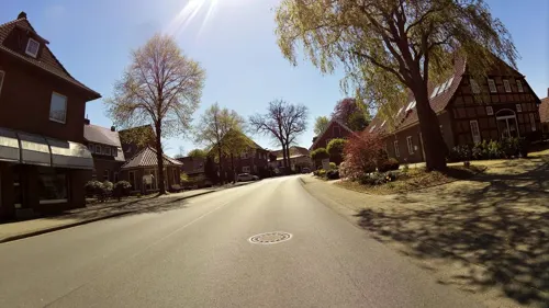
Bottega di Gian.Lu.Ca
Restaurant · Italian · 10.1 km
19 Bahnhofstraße, Neuenkirchen
Tu-Su 17:30-22:00; Sa-Su 12:00-14:30
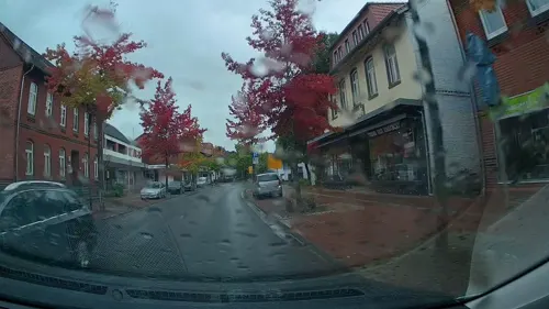
Café NebenAn
Restaurant
19 Goethestraße, Visselhövede
Tu-Fr 11:00-22:00; Mo off; Sa 14:00-22:00; Su 14:00-18:00
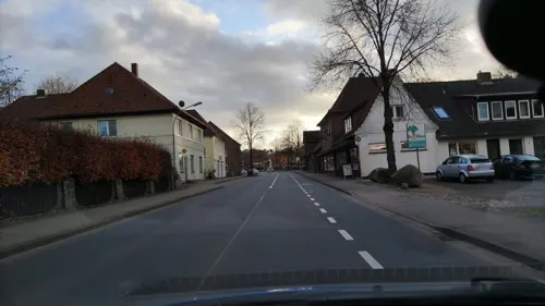
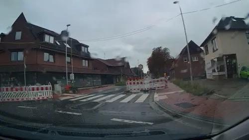
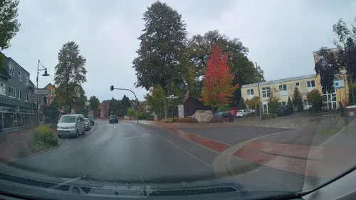


Santorini II
Restaurant · Greek · 9.8 km
24 Hauptstraße, Neuenkirchen
Tu-Sa 17:00-22:00; Su 12:00-22:00
26 more on the map.
Where to stay30
Churches and places of worship8
Shopping14
Gas and EV charging12
Hoyer Tank-Eck Visselhövede
Gas station · 0.6 km
11 Rotenburger Straße, Visselhövede
Schools, colleges and libraries12
Healthcare4
Map of Visselhövede
158 places. The map loads OpenStreetMap tiles when you open it.
Getting there and nearby towns
Bremen Airport (BRE) is the nearest airport with scheduled flights listed in OpenStreetMap, 54 km away.
- Buchholz 3 km northwest, about 3 min by car
- Wittorf 5 km northwest, about 5 min by car
- Neuenkirchen 10 km northeast, about 10 min by car
- Bomlitz 11 km southeast, about 11 min by car
- Bothel 11 km northwest, about 11 min by car
- Hemslingen 11 km north, about 11 min by car
- Walsrode 14 km south, about 14 min by car
- Bremen 53 km west, about 53 min by car
- Hamburg 69 km northeast, about 1 h 15 min by car
- Hannover 69 km south, about 1 h 15 min by car
Drive times are estimates from straight-line distance, not routes.
Local news
Headlines from INDB.
Reviews, tips and questions
Loading what members have shared...
Sources and licences
- GeoNames (CC BY 4.0): population, coordinates, regions and time zone
- Mapillary (see each image): photos
- OpenStreetMap contributors (ODbL 1.0): places, airports, map data
- Wikidata (CC0 1.0): elevation, founding date, time zone, website, landmarks and historic places
- Wikimedia Commons (see each image): photos
- Wikipedia (CC BY-SA 4.0): overview and history text
Photo credits
- Rathaus in Visselhövede IMG 5983, Losch, CC BY-SA 3.0
- Visselhövede Herz1, Kirchenfan, CC0
- St.-Johannis-Kirche in Visselhövede, smarties, CC BY-SA 4.0
- Visselhövede Herz-Jesu W, Kirchenfan, CC0
- Gedenkstein in Visselhövede IMG 5988, Losch, CC BY-SA 3.0
- St. Johannis-Kirche in Visselhövede IMG 5986, Losch, CC BY-SA 3.0
- Marktplatz und Rathaus in Visselhövede IMG 5987, Losch, CC BY-SA 3.0
- Park Vissel-Quelle Visselhövede, RogerWiki, CC0
- Park Vissel-Quelle Visselhövede (98953), RogerWiki, CC0
- Park Vissel-Quelle Visselhövede (51908), RogerWiki, CC0
- Park Vissel-Quelle Visselhövede (84316), RogerWiki, CC0
- Park Vissel-Quelle Visselhövede (78039), RogerWiki, CC0
- Visselhövede Treppenspeicher und Skulptur Begegnung, RogerWiki, CC0
- Visselhövede Treppenspeicher und Skulptur Begegnung (34058), RogerWiki, CC0
- Visselhövede Infotafel Skulptur Begegnung, RogerWiki, CC0
- Visselhövede Arnoldi-Mahnmal, Kirchenfan, CC0
- Visselhövede Herz3, Kirchenfan, CC0
- Visselhövede Herz4, Kirchenfan, CC0
- Visselhövede Herz2, Kirchenfan, CC0
- VPW Parkanlage, Thomas Hermes, CC BY 2.5
- Grundloses Moor 1, Poul Krogsgård, CC0
- Höllenberg, Suppengrün, CC0
- Neuenkirchen (LH) - Stichter See 06 ies, Frank Vincentz, CC BY-SA 3.0
- Eich 001, Smarties, CC BY-SA 4.0
- Rotes Moor Niedersachsen HHH5, Vogelfreund, CC BY-SA 3.0
- Kirche Wittorf, ClausNe, CC BY-SA 4.0
- Benefeld kathq, Kirchenfan, CC0
- Pfarrberg, Neuenkirchen, Heidekreis, 2018-07, ChristianSW, CC0
- Visselhoevede Bahnhofstrasse 15 Wasserturm, Radler59 ( talk ), CC BY-SA 4.0
- Grabstein Rutenmuehle, Kinibaai, CC BY-SA 3.0
- Ottinger Ochsenmoor HHH 106, Vogelfreund, CC BY-SA 3.0
- Neuenkirchen (LH) - Stichter See 05 ies, Frank Vincentz, CC BY-SA 3.0
- St.-Georg-Christophorus-Jodokus-Kirche55, User:Matthias Süßen, CC BY 3.0
- Infotafel Regeln Park Visselquelle, RogerWiki, CC0
- Infotafel Park Visselquelle, RogerWiki, CC0
- Infotafel Park Visselquelle (56124), RogerWiki, CC0
- Infotafel Park Visselquelle (61860), RogerWiki, CC0
- Infotafel Park Visselquelle (25493), RogerWiki, CC0
- Vissel Quelle 001, smarties, CC BY-SA 4.0
- Vissel Quelle 002, smarties, CC BY-SA 4.0
- Street-level photo, StefanS79, CC BY-SA 4.0
- Street-level photo, hotteliene, CC BY-SA 4.0
- Street-level photo, hotteliene, CC BY-SA 4.0
- Street-level photo, hotteliene, CC BY-SA 4.0
- Street-level photo, StefanS79, CC BY-SA 4.0
- Street-level photo, StefanS79, CC BY-SA 4.0
- Street-level photo, StefanS79, CC BY-SA 4.0
- Street-level photo, tian, CC BY-SA 4.0
- Street-level photo, saftycar, CC BY-SA 4.0
- Street-level photo, saftycar, CC BY-SA 4.0
- Street-level photo, nink_s, CC BY-SA 4.0
- Street-level photo, StefanS79, CC BY-SA 4.0
- Street-level photo, StefanS79, CC BY-SA 4.0
- Street-level photo, hotteliene, CC BY-SA 4.0
- Street-level photo, moenk, CC BY-SA 4.0
- Street-level photo, StefanS79, CC BY-SA 4.0
- Street-level photo, StefanS79, CC BY-SA 4.0
- Street-level photo, StefanS79, CC BY-SA 4.0
- Street-level photo, StefanS79, CC BY-SA 4.0
- Street-level photo, hotteliene, CC BY-SA 4.0
- Street-level photo, tian, CC BY-SA 4.0
- Street-level photo, hotteliene, CC BY-SA 4.0
- Street-level photo, StefanS79, CC BY-SA 4.0


Page built November 8, 2026. Spotted a mistake? Tell us or suggest a place.