


Why visit Wehr
Townapedia lists 30 museums and landmarks, 14 parks and trails, 43 places to eat, 9 places to stay and 20 attractions in and around town.
Highlights include Erdmannshöhle, Brennet Textilmuseum, Altes Schloss and Spielplatz Kreutzmatt.
Weather in Wehr
Forecast from MET Norway (CC BY 4.0). Full forecast
About Wehr
Wehr (German pronunciation: [veːɐ̯] ) is a town in the Waldshut district in Baden-Württemberg, Germany. It is situated 9 km north of Bad Säckingen, and 18 km east of Lörrach. Wehr is the home of two very old and large families: the Trefzgers and the Nagelins.
From the Wikipedia article Wehr, Baden-Württemberg (this version), under CC BY-SA 4.0.
Things to do20




8 more on the map.
Museums and landmarks30



Schloss Schwörstadt
Monument and historic site · 4.7 km
1 Hauptstraße, Schwörstadt
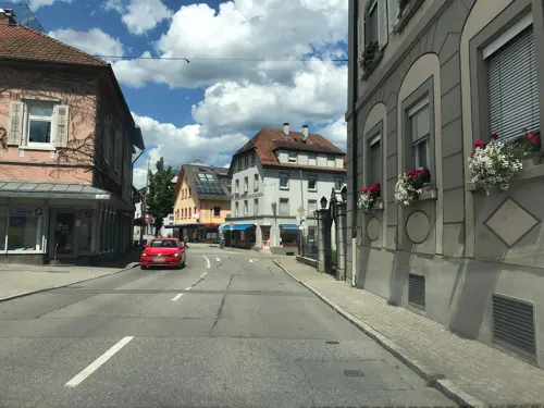

Steineck
Monument and historic site · 5.2 km
Wenige Mauerreste auf Höhenrückem


18 more on the map.
Parks, trails and playgrounds14
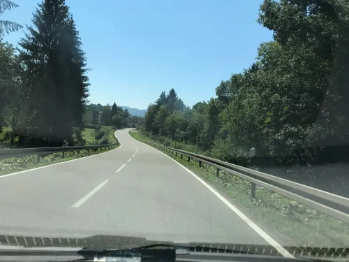
Spielplatz Kreutzmatt
Playground · 3.1 km
Spielplatz mit kleiner BMX-Strecke
Mo-Su 08:00-20:00






2 more on the map.
Restaurants and cafes43
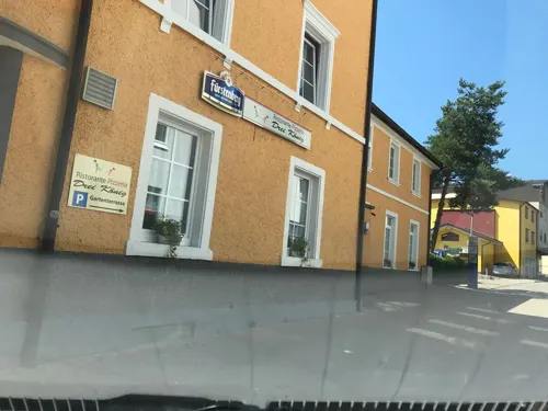
Barsaat indisches Restaurant
Restaurant · Indian
52 Hauptstraße, Wehr
Tu-Sa 11:30-14:00,17:00-22:00; Su 12:00-21:30; Mo off

Brauhaus Meier
Restaurant · Regional, Br · 1.9 km
10 Brunnmattstraße, Wehr
Th-Sa 17:00-22:00, Su 16:00-22:00

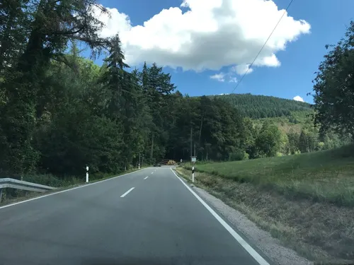
Waldstüble
Restaurant · German · 1.4 km
110 Waldstraße, Wehr
Tu-Fr 16:00-23:00; Sa 15:00-23:00; Su 10:00-20:00; Mo off

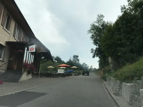
Gasthof zur Sonne
Restaurant · 1.1 km
38 Enkendorfstraße, Wehr
Tu-Fr 17:00-22:00; PH,Sa,Su 12:00-14:00,17:00-22:00; Mo off
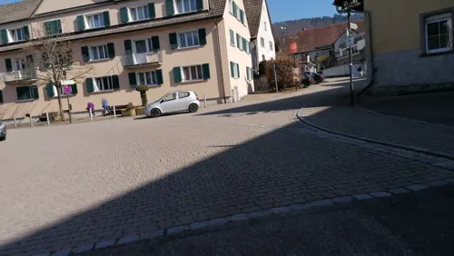
Lura
Restaurant · Mediterranean, Italian · 4.3 km
62A Wehratalstraße, Wehr
We-Mo,PH 11:30-14:00,17:30-22:00
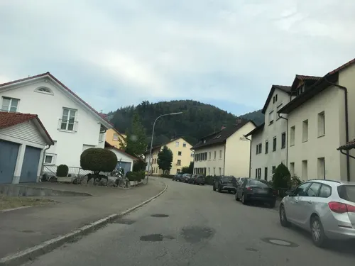


Zum Wehratal
Restaurant · Regional, Italian · 0.6 km
62 Todtmooser Straße, Wehr
Tu-Sa 11:00-14:00,17:00-22:30; Su 11:00-22:00; Mo off
31 more on the map.
Where to stay9
Churches and places of worship14
Katholische Kirche St. Martin
Church · Roman Catholic
5 Kirchplatz, Wehr
St. Clemens und Urban
Church · Roman Catholic · 4.4 km
37 Hauptstraße, Schwörstadt
Shopping14
Gas and EV charging2
Schools, colleges and libraries5
Grund- Haupt- und Werkrealschule am Heidenstein
School · 4.7 km
32 Römerstraße, Schwörstadt
Healthcare3
Map of Wehr
154 places. The map loads OpenStreetMap tiles when you open it.
Getting there and nearby towns
Lahr Airport (LHA) is the nearest airport with scheduled flights listed in OpenStreetMap, 82 km away.
- Hasel 3 km north, about 3 min by car
- Schwörstadt 5 km southwest, about 5 min by car
- Rickenbach 6 km east, about 6 min by car
- Schopfheim 7 km west, about 7 min by car
- Hausen 7 km northwest, about 7 min by car
- Herrischried 8 km northeast, about 8 min by car
- Gersbach (Schopfheim) 8 km north, about 8 min by car
- Bad Säckingen 9 km south, about 9 min by car
- Zell im Wiesental 9 km northwest, about 9 min by car
- Maulburg 9 km west, about 9 min by car
Drive times are estimates from straight-line distance, not routes.
Local news
Headlines from INDB.
Reviews, tips and questions
Loading what members have shared...
Sources and licences
- GeoNames (CC BY 4.0): population, coordinates, regions and time zone
- Mapillary (see each image): photos
- OpenStreetMap contributors (ODbL 1.0): places, airports, map data
- Wikidata (CC0 1.0): elevation, founding date, time zone, website, landmarks and historic places
- Wikimedia Commons (see each image): photos
- Wikipedia (CC BY-SA 4.0): overview and history text
Photo credits
- Wehr (Baden) Blick auf, PantaRhei, CC BY-SA 4.0
- Wehr, Hauptstraße, Rauenstein, CC BY-SA 3.0
- Bächle in der Hauptstraße von Wehr, Andreas Schwarzkopf, CC BY-SA 3.0
- Mural book shop in Wehr (Baden), Lymantria, CC BY-SA 4.0
- Talschule Wehr, Andreas Schwarzkopf, CC BY-SA 3.0
- Wehr (Baden) Neues Schloss Stadtverwaltung Nordseite, PantaRhei, CC BY-SA 4.0
- Kanzlei in Wehr, Andreas Schwarzkopf, CC BY-SA 3.0
- Altes Schloss in Wehr 2, Andreas Schwarzkopf, CC BY-SA 3.0
- Wehr (Baden) Altes Schloss Ostseite, PantaRhei, CC BY-SA 4.0
- Wehr (Baden) Altes Schloss Westseite, PantaRhei, CC BY-SA 4.0
- Wehr (Baden) Neues Schloss Stadtverwaltung Westseite, PantaRhei, CC BY-SA 4.0
- Carillon in Wehr (Baden), Lymantria, CC BY-SA 4.0
- Altes Schloss in Wehr, Andreas Schwarzkopf, CC BY-SA 3.0
- Wehr (Baden) Neues Schloss Südseite, PantaRhei, CC BY-SA 4.0
- Wehr (Baden) Mediathek, PantaRhei, CC BY-SA 4.0
- Wehr (Baden) Kultur- und Verkehrsamt Hauptstraße, PantaRhei, CC BY-SA 4.0
- Wehr (Baden) Hauptstraße 1 (cropped), PantaRhei, CC BY-SA 4.0
- Wehr (Baden) Hauptstraße 1, PantaRhei, CC BY-SA 4.0
- Wehr (Baden) Stadthalle Ostseite Ludingarten, PantaRhei, CC BY-SA 4.0
- Bahnhof Wehr 2, Andreas Schwarzkopf, CC BY-SA 3.0
- Wehr (Baden) Blick auf Wehr, PantaRhei, CC BY-SA 4.0
- Wehr (Baden) Landschaftsschutzgebiet Dinkelberg Bild 4, PantaRhei, CC BY-SA 4.0
- Hasel Erdmannshöhle 1, Zieglhar, CC BY-SA 4.0
- Altes Schloss Wehr 2012 1, zieglhar, CC BY 3.0
- Baerenfels 01, MacElch (Rainer Kunze), CC BY-SA 3.0
- Hunnenstein01, Tschumi von www.erratiker.ch, CC BY-SA 2.0
- Turm der Burgruine Werrach, zieglhar, CC BY 3.0
- Naturschutzgebiet Wehramündung 1, T. Stadtlander, CC BY-SA 4.0
- Dischler Schloss Schwörstadt, Hermann Dischler, Public domain
- Menhir Dossenbach 1, Zieglhar, CC BY-SA 4.0
- Wehr, Kirche St. Martin 1, Rauenstein, CC BY-SA 3.0
- Wehr (Baden) Sankt-Wolfgangs-Kapelle Sankt-Wolfgang-Weg Südseite, PantaRhei, CC BY-SA 4.0
- Wehr (Baden) Öflingen Friedhofskapelle, PantaRhei, CC BY-SA 4.0
- Wehr (Baden) Öflingen kath Kirche Sankt Ulrich Nordseite, PantaRhei, CC BY-SA 4.0
- Schwörstadt Heidenstein 1, Zieglhar, CC BY-SA 4.0
- Hunnenstein Niederdossenbach 3, Zieglhar, CC BY-SA 4.0
- Baerenfels 2022 2, Zieglhar, CC BY-SA 4.0
- Hochrheinfahrt-schwörstadt-schloss, Mboesch, CC BY-SA 3.0
- Wehr (Baden) Naturschutzgebiet Bannwald Wehratal Bild 28, PantaRhei, CC BY-SA 4.0
- Ausblick zur Felsenhütte 2, Andreas Schwarzkopf, CC BY-SA 3.0
- Burg Bärenfels bei Wehr (Baden) 2016 Bergfried II, Fotochronist, CC BY-SA 4.0
- Schopfheim Landschaftsschutzgebiet Eichener See Bild 6, PantaRhei, CC BY-SA 4.0
- Street-level photo, tbkrtz, CC BY-SA 4.0
- Street-level photo, tbkrtz, CC BY-SA 4.0
- Street-level photo, tbkrtz, CC BY-SA 4.0
- Street-level photo, tbkrtz, CC BY-SA 4.0
- Street-level photo, tbkrtz, CC BY-SA 4.0
- Street-level photo, tbkrtz, CC BY-SA 4.0
- Street-level photo, hochrheinbiker, CC BY-SA 4.0
- Street-level photo, hochrheinbiker, CC BY-SA 4.0
- Street-level photo, tbkrtz, CC BY-SA 4.0
- Street-level photo, tbkrtz, CC BY-SA 4.0
- Street-level photo, tbkrtz, CC BY-SA 4.0
- Street-level photo, qungo, CC BY-SA 4.0
- Street-level photo, tbkrtz, CC BY-SA 4.0
- Street-level photo, tbkrtz, CC BY-SA 4.0
- Street-level photo, tbkrtz, CC BY-SA 4.0
- Street-level photo, tbkrtz, CC BY-SA 4.0
- Street-level photo, tbkrtz, CC BY-SA 4.0
- Street-level photo, tbkrtz, CC BY-SA 4.0


Page built November 8, 2026. Spotted a mistake? Tell us or suggest a place.